Dumer Hill
Hill, Mountain in Kincardineshire
Scotland
Dumer Hill

Dumer Hill, located in Kincardineshire, Scotland, is a prominent hill that rises to an elevation of 322 meters (1,056 feet) above sea level. This natural landmark is situated approximately 3 kilometers (1.9 miles) south of the village of Kinneff and 9 kilometers (5.6 miles) southwest of Stonehaven. Dumer Hill forms part of the larger Mounth range, which stretches across the eastern Grampian Mountains.
The terrain of Dumer Hill is characterized by its gentle slopes and grassy meadows, making it a popular destination for hikers and nature enthusiasts. The hill offers stunning panoramic views of the surrounding countryside, including the North Sea coastline and nearby rolling hills. On a clear day, one can even catch a glimpse of the picturesque Dunnottar Castle, perched atop a cliff just a few kilometers to the northeast.
Dumer Hill is also known for its rich biodiversity, boasting a variety of flora and fauna. The heather-covered slopes provide a habitat for numerous bird species, such as grouse, pheasants, and various songbirds. The area is also frequented by rabbits, hares, and occasionally deer.
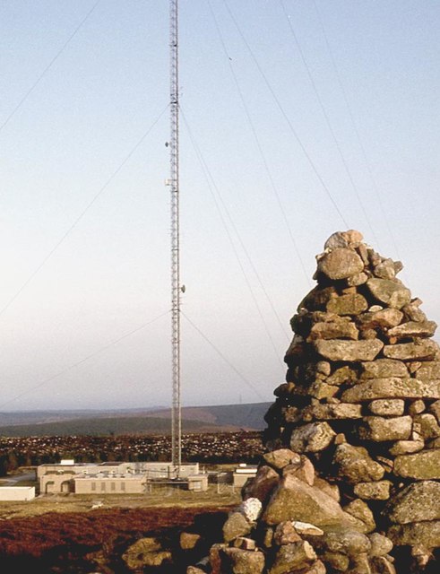
Visitors to Dumer Hill can access the summit via a well-maintained footpath that winds its way through the hillside. The ascent is relatively gentle, making it suitable for hikers of all skill levels. At the top, a trig point marks the highest point of the hill, offering a sense of achievement and a perfect spot to rest and take in the breathtaking views.
Overall, Dumer Hill is a charming natural landmark in Kincardineshire, offering visitors an opportunity to connect with nature and enjoy the scenic beauty of the Scottish countryside.
If you have any feedback on the listing, please let us know in the comments section below.
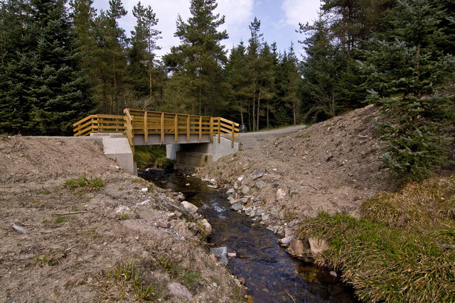
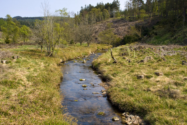
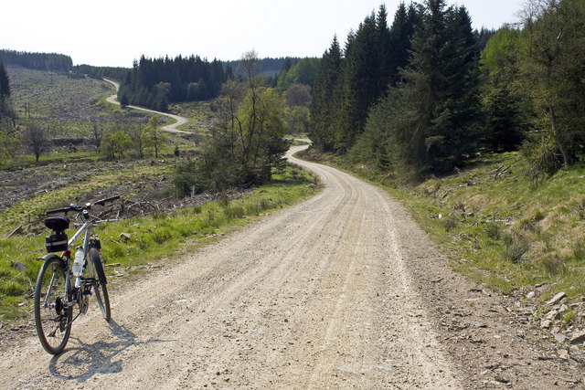
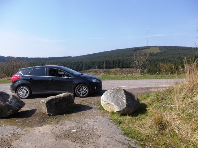
Dumer Hill Images
Images are sourced within 2km of 56.986557/-2.4015195 or Grid Reference NO7588. Thanks to Geograph Open Source API. All images are credited.


Dumer Hill is located at Grid Ref: NO7588 (Lat: 56.986557, Lng: -2.4015195)
Unitary Authority: Aberdeenshire
Police Authority: North East
What 3 Words
///easels.encloses.score. Near Banchory, Aberdeenshire
Nearby Locations
Related Wikis

Cryne Corse Mounth
Cryne Corse Mounth is an old droving road which ran south across the high ground from the Dee valley in Aberdeenshire, eastern Scotland. Much of the route...
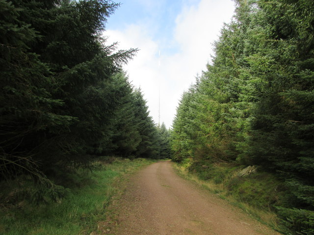
Fetteresso Forest
The Fetteresso Forest is a woodland that is principally coniferous situated in the Mounth range of the Grampian Mountains in Aberdeenshire, Scotland. The...
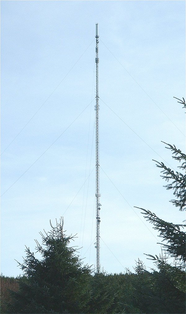
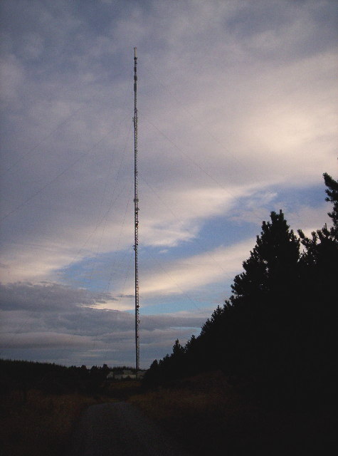
Durris transmitting station
The Durris transmitting station is a broadcasting and telecommunications facility, situated close to the town of Stonehaven, within Durris Forest, within...
Craiginour
Craiginour is a hill located near Cowie Water in Stonehaven, Aberdeenshire, Scotland. Its summit is at 355 metres (1,165 ft). == References ==
Have you been to Dumer Hill?
Leave your review of Dumer Hill below (or comments, questions and feedback).