Abingworth
Settlement in Sussex Horsham
England
Abingworth
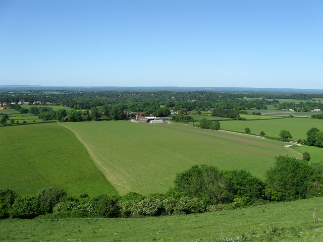
Abingworth is a small hamlet located in the district of Horsham, West Sussex, England. Situated in the heart of the South Downs National Park, it offers a picturesque and tranquil setting surrounded by beautiful rolling countryside. The hamlet is part of the wider village of Thakeham and is known for its rural charm and historic character.
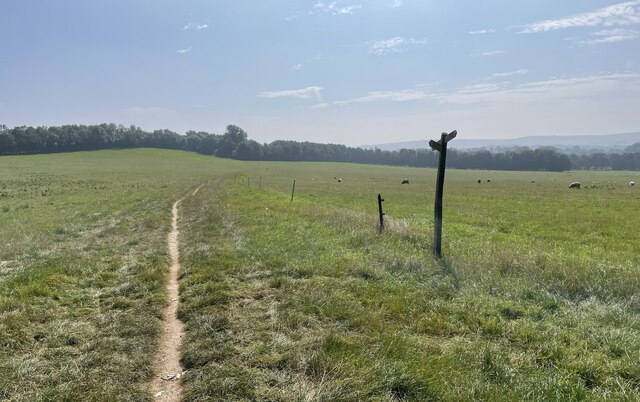
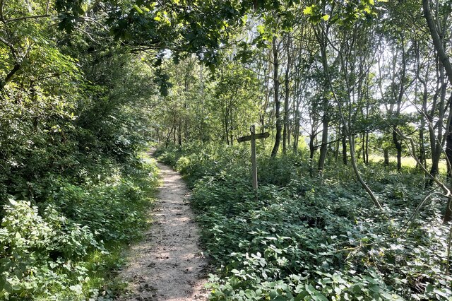
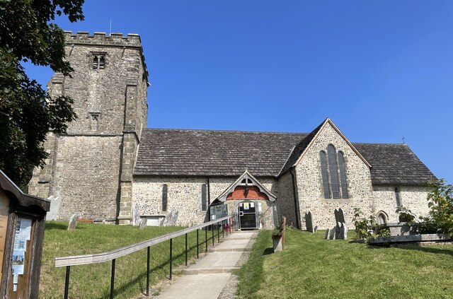
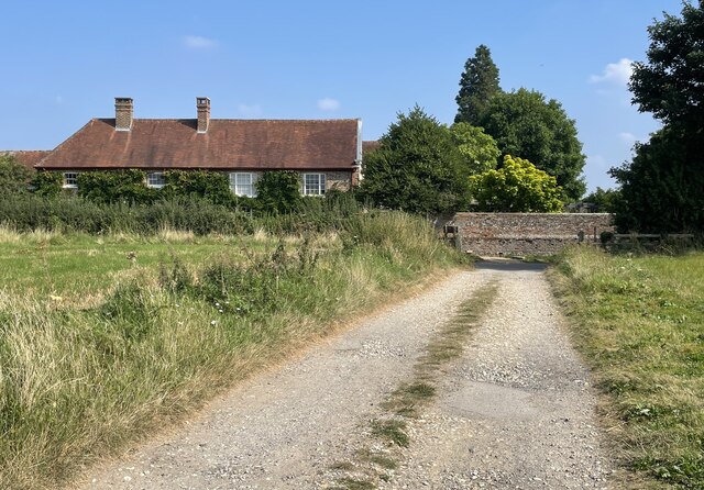
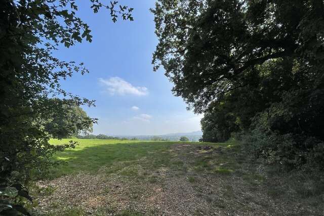
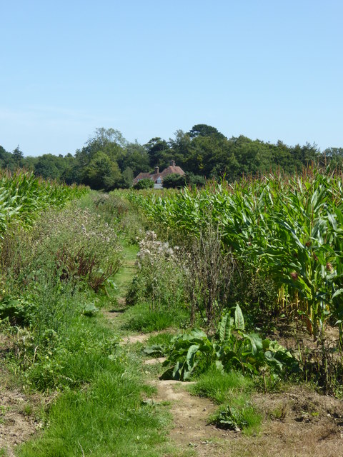
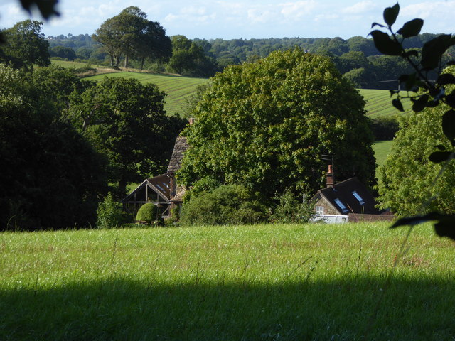
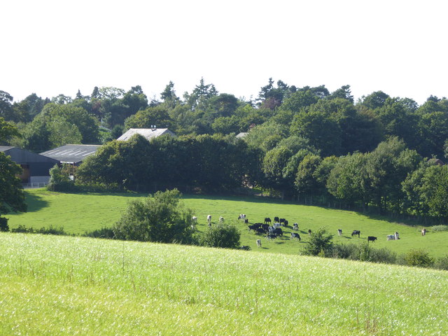
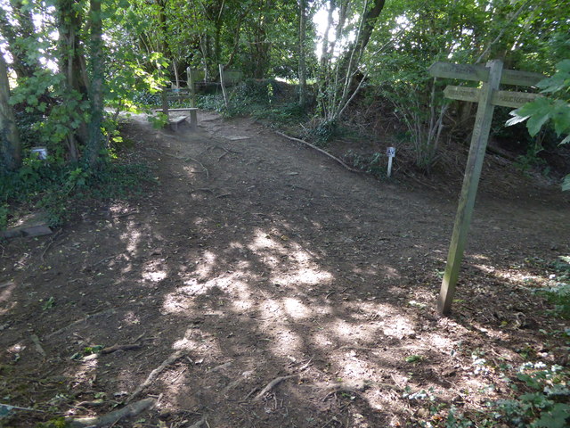
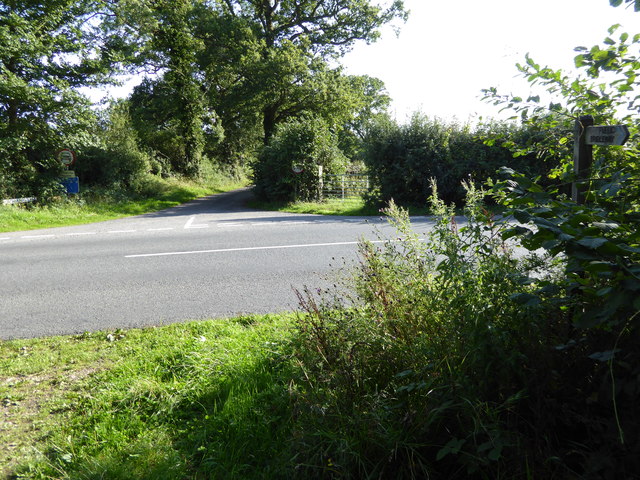
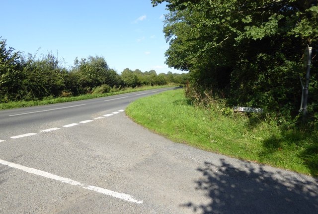
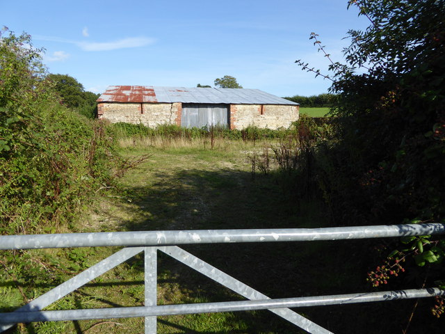
Abingworth is primarily a residential area with a small number of houses and cottages, many of which date back several centuries. The architecture reflects the traditional style of the region, featuring timber-framed buildings and thatched roofs. The hamlet is renowned for its idyllic rural landscapes, with fields, woodlands, and meandering footpaths offering excellent opportunities for walking and exploring the countryside.
Despite its small size, Abingworth is well-connected to nearby towns and cities. The historic market town of Horsham is approximately 6 miles to the east, providing a range of amenities including shops, schools, and leisure facilities. The coastal town of Worthing is around 12 miles south, offering beautiful beaches and a vibrant seaside atmosphere. London is also easily accessible, with direct train services running from nearby Pulborough station to the capital in under an hour and a half.
Abingworth is a popular destination for those seeking a peaceful and scenic place to live, away from the hustle and bustle of urban life. With its charming architecture, stunning natural surroundings, and convenient location, it is a quintessential English hamlet that embodies the beauty and tranquility of Sussex's countryside.
If you have any feedback on the listing, please let us know in the comments section below.
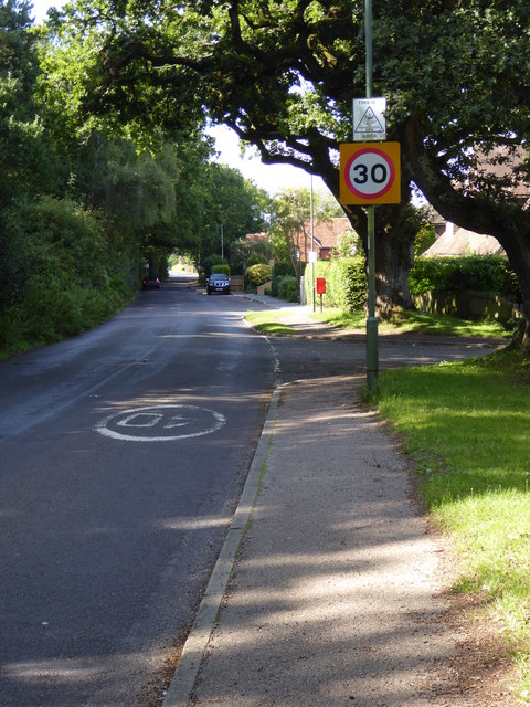
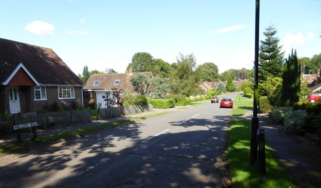
Abingworth Images
Images are sourced within 2km of 50.937304/-0.428728 or Grid Reference TQ1016. Thanks to Geograph Open Source API. All images are credited.


Abingworth is located at Grid Ref: TQ1016 (Lat: 50.937304, Lng: -0.428728)
Administrative County: West Sussex
District: Horsham
Police Authority: Sussex
What 3 Words
///napkins.stone.rhino. Near Ashington, West Sussex
Nearby Locations
Related Wikis
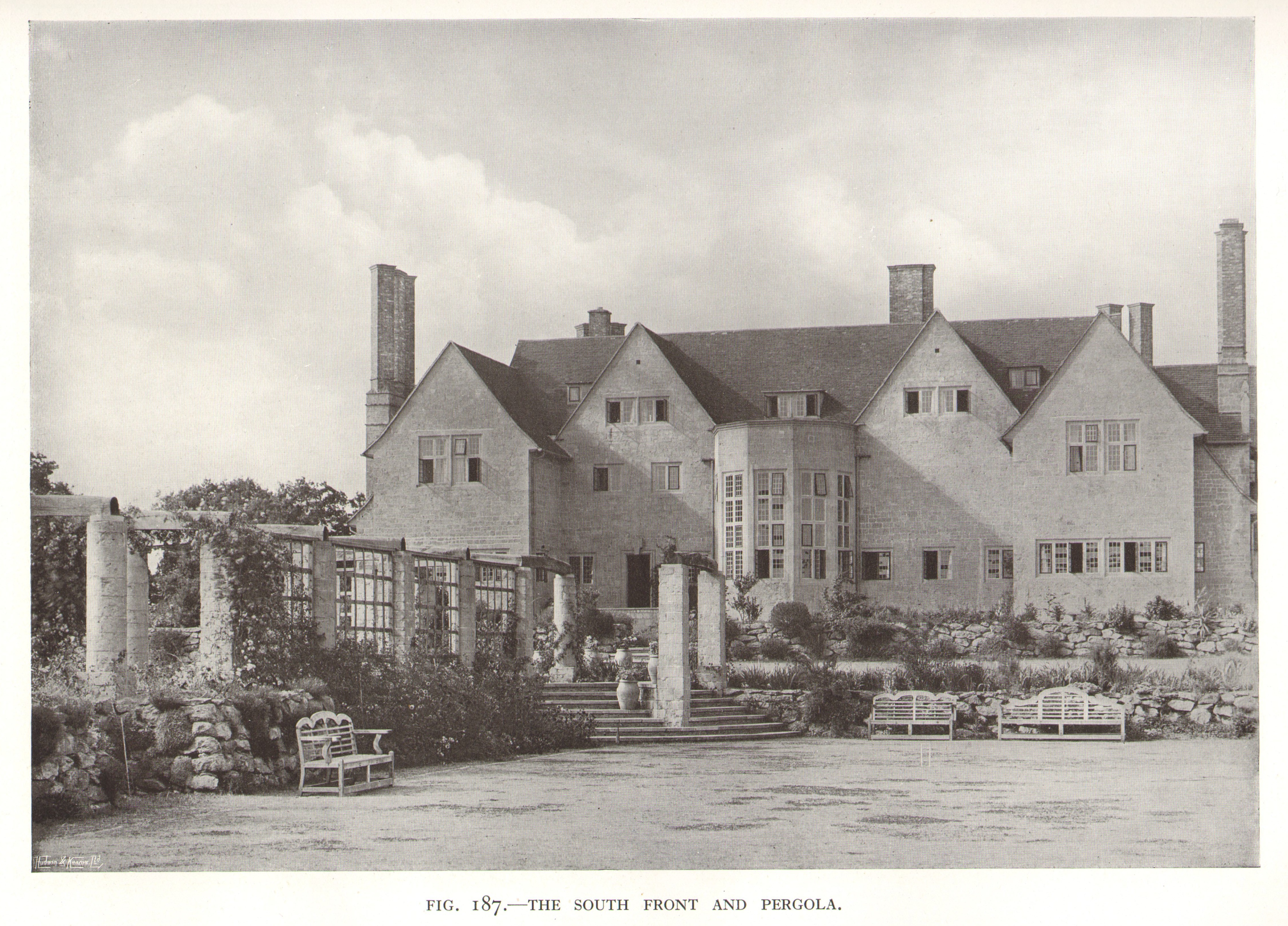
Little Thakeham
Little Thakeham is an Arts and Crafts style, Grade I listed private house in the parish of Thakeham, near the village of Storrington, in the Horsham district...
Thakeham
Thakeham is a village and civil parish located north of the South Downs in the Horsham District of West Sussex, England. The village is situated approximately...

Warminghurst
Warminghurst is a village and former civil parish, now in the parish of Thakeham, in the Horsham district of West Sussex, England. It lies on the Ashington...

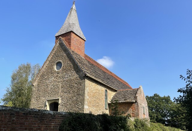
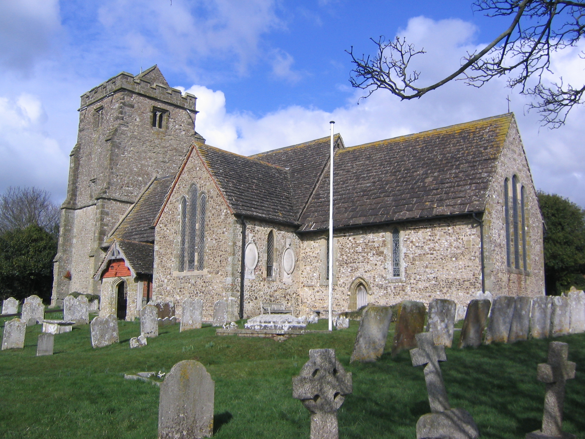
Church of the Holy Sepulchre, Warminghurst
The Church of the Holy Sepulchre is a former Anglican church in the hamlet of Warminghurst in the district of Horsham, one of seven local government districts...

Heath Common
Heath Common is a settlement in the Horsham District of West Sussex, England. It lies on the Storrington to Ashington road 1.5 miles (2.4 km) east of Storrington...
Rydon Community College
Rydon Community College was a maintained comprehensive middle-deemed-secondary school for pupils aged 10 to 13. The school was located just outside Storrington...

Arundel and South Downs (UK Parliament constituency)
Arundel and South Downs () is a constituency in West Sussex created in 1997 and represented in the House of Commons of the UK Parliament since 2019 by...
Sullington Warren
Sullington Warren is a 24.7-hectare (61-acre) biological Site of Special Scientific Interest in Storrington in West Sussex. The site includes several tumuli...
Nearby Amenities
Located within 500m of 50.937304,-0.428728Have you been to Abingworth?
Leave your review of Abingworth below (or comments, questions and feedback).