Outer Hill

Hill, Mountain in Northumberland

England

Outer Hill

Shilla Hill Bastle Now somewhat overgrown <span class="nowrap"><a title="https://historicengland.org.uk/listing/the-list/list-entry/1008991" rel="nofollow ugc noopener" href="https://historicengland.org.uk/listing/the-list/list-entry/1008991">Link</a><img style="margin-left:2px;" alt="External link" title="External link - shift click to open in new window" src="https://s1.geograph.org.uk/img/external.png" width="10" height="10"/></span>
Shilla Hill Bastle Credit: Sandy Gerrard

Outer Hill is a prominent geographical feature located in the county of Northumberland, England. Situated in the northern part of the county, Outer Hill is part of the Cheviot Hills, which is a range of rolling hills and low mountains extending from the Scottish Borders to the Northumberland National Park.

Rising to an elevation of approximately 463 meters (1,519 feet), Outer Hill offers breathtaking panoramic views of the surrounding countryside. Its location within the Northumberland National Park makes it a popular destination for outdoor enthusiasts, hikers, and nature lovers.

The hill is characterized by its gently sloping sides, covered in heather and grass, creating a picturesque landscape that changes with the seasons. It is home to a diverse range of flora and fauna, including various species of birds, mammals, and wildflowers.

The summit of Outer Hill provides an excellent vantage point to admire the scenic beauty of the Northumberland countryside. On a clear day, visitors can enjoy sweeping views of the Cheviot Hills, the surrounding valleys, and even glimpse the North Sea in the distance.

Access to Outer Hill is possible via several walking trails and footpaths that crisscross the Northumberland National Park. The hill offers a rewarding challenge for hikers, with its moderate gradient and well-maintained trails.

Overall, Outer Hill is a stunning natural feature that showcases the beauty of Northumberland. Its accessibility, diverse wildlife, and stunning vistas make it a must-visit location for those seeking a connection with nature and a desire to explore the rugged beauty of England's countryside.

If you have any feedback on the listing, please let us know in the comments section below.
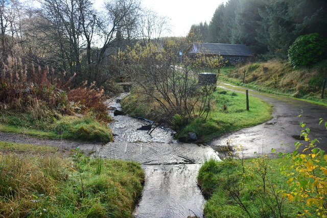
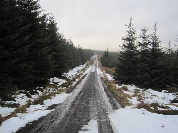
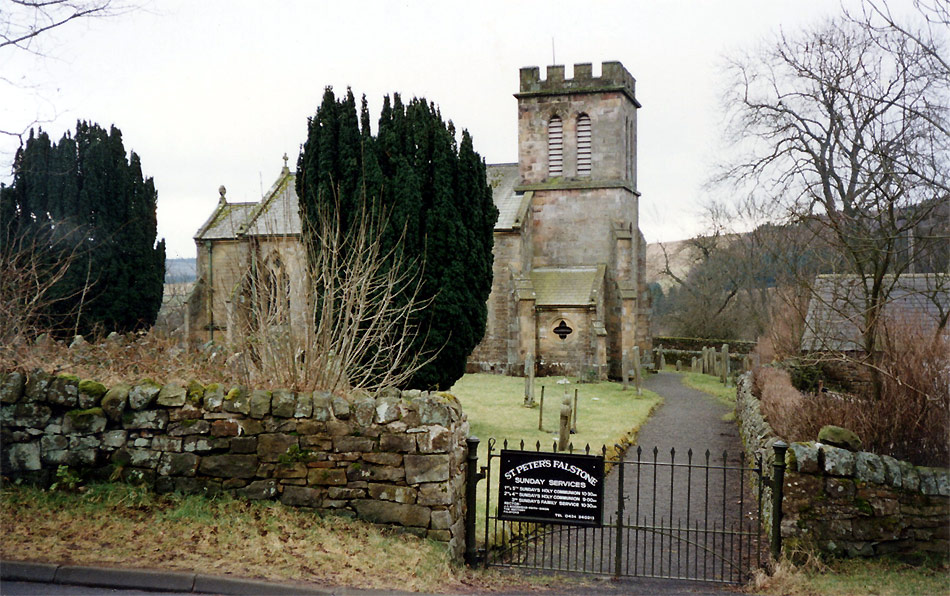
Outer Hill Images

Images are sourced within 2km of 55.195563/-2.3869247 or Grid Reference NY7589. Thanks to Geograph Open Source API. All images are credited.

Shilla Hill Bastle Now somewhat overgrown <span class="nowrap"><a title="https://historicengland.org.uk/listing/the-list/list-entry/1008991" rel="nofollow ugc noopener" href="https://historicengland.org.uk/listing/the-list/list-entry/1008991">Link</a><img style="margin-left:2px;" alt="External link" title="External link - shift click to open in new window" src="https://s1.geograph.org.uk/img/external.png" width="10" height="10"/></span>
Shilla Hill Bastle
Now somewhat overgrown LinkExternal link
Boghead Bastle
Boghead Bastle
Ford at Waterhead This ford on the Tarset Burn is found at Waterhead just beyond the ford at Shipley Shiels. The ford can also be seen at:
<a title="https://www.geograph.org.uk/photo/3608601" href="https://www.geograph.org.uk/photo/3608601">Link</a>
Ford at Waterhead
This ford on the Tarset Burn is found at Waterhead just beyond the ford at Shipley Shiels. The ford can also be seen at: Link
Remains of Bastle In Kielder Forest.
Remains of Bastle
In Kielder Forest.
Near Highfield Cleared area of Kileder Forest near Highfield.
Near Highfield
Cleared area of Kileder Forest near Highfield.
Highfield Burn Looking SW.
Highfield Burn
Looking SW.
Swine Cleugh, Sidwood Forest
Forest Track towards Swine Cleugh
Forest Ride and Area of Felled Trees
Saplings Ready for Planting
Ford and Footbridge, Tarset Burn
Ford on the Tarset Burn
Cottage near Tarset Burn
Corbie Castle These are the remains of a 16th or 17th century bastle standing at the foot of a steep slope in the valley of the Tarset Burn. It is rectangular in shape and has thick stone walls. Above the doorway there is a narrow channel cut through the wall. This may have been to pour water through to put out fires lit against the door. The basement shows the remains of a vaulted roof. There are traces of two buildings to the west of the bastle. This is a Grade II Listed Building and a Scheduled Monument protected by law.
<span class="nowrap"><a title="http://www.keystothepast.info/Pages/pgDetail.aspx?PRN=N7066" rel="nofollow ugc noopener" href="http://www.keystothepast.info/Pages/pgDetail.aspx?PRN=N7066">Link</a><img style="margin-left:2px;" alt="External link" title="External link - shift click to open in new window" src="https://s1.geograph.org.uk/img/external.png" width="10" height="10"/></span>
This Bastle is referred to as Boghead Bastle in a leaflet about The Tarset Bastle Trail. I'm not certain where this reference comes from.
Corbie Castle
These are the remains of a 16th or 17th century bastle standing at the foot of a steep slope in the valley of the Tarset Burn. It is rectangular in shape and has thick stone walls. Above the doorway there is a narrow channel cut through the wall. This may have been to pour water through to put out fires lit against the door. The basement shows the remains of a vaulted roof. There are traces of two buildings to the west of the bastle. This is a Grade II Listed Building and a Scheduled Monument protected by law. LinkExternal link This Bastle is referred to as Boghead Bastle in a leaflet about The Tarset Bastle Trail. I'm not certain where this reference comes from.
Shilla Hill Bastle These are the remains of a 16th or 17th century bastle standing on the summit of Shilla Hill, overlooking the valley of the Tarset Burn. The remains of the thick walls of the bastle can still be seen. Traces of other buildings can be seen nearby. This is a Scheduled Monument protected by law.
<span class="nowrap"><a title="http://www.keystothepast.info/Pages/pgDetail.aspx?PRN=N7067" rel="nofollow ugc noopener" href="http://www.keystothepast.info/Pages/pgDetail.aspx?PRN=N7067">Link</a><img style="margin-left:2px;" alt="External link" title="External link - shift click to open in new window" src="https://s1.geograph.org.uk/img/external.png" width="10" height="10"/></span>
Shilla Hill Bastle
These are the remains of a 16th or 17th century bastle standing on the summit of Shilla Hill, overlooking the valley of the Tarset Burn. The remains of the thick walls of the bastle can still be seen. Traces of other buildings can be seen nearby. This is a Scheduled Monument protected by law. LinkExternal link
Tarset Burn
Tarset Burn
Track towards Highfield Farm
Forest Track near Highfield Farm
Show me another place!

Outer Hill is located at Grid Ref: NY7589 (Lat: 55.195563, Lng: -2.3869247)

Unitary Authority: Northumberland

Police Authority: Northumbria

What 3 Words

///monday.lyrics.stiffly. Near Bellingham, Northumberland

Related Wikis

Thorneyburn

Thorneyburn is a village and former civil parish, now in the parish of Tarset, in Northumberland, England, to the northwest of Bellingham. In 1951 the...

Black Middens Bastle House

Black Middens Bastle House lies about 7 miles (11 km) northwest of Bellingham, Northumberland. It is a two-storey fortified stone farmhouse from the 16th...

Thorneyburn railway station

Thorneyburn railway station served the village of Thorneyburn, Northumberland, England from 1861 to 1956 on the Border Counties Railway. == History... ==

Falstone railway station

Falstone railway station is a former railway station that served the hamlet of Falstone, in Northumberland, England. == History == The station was on the...

Falstone

Falstone is a small village in Northumberland, England, just east of Kielder Water. The village is 8 miles (13 km) from the Anglo–Scottish border. The...

Falstone Bridge

Falstone Bridge is a stone bridge across the River North Tyne at Falstone in Northumberland. == History == The bridge, which has three stone arches, was...

Greystead

Greystead is a village and civil parish in Northumberland, England west of Bellingham. The population as of the 2011 census was less than 100. It shares...

Tarset Castle

Tarset Castle is a ruin near Tarset in Northumberland. == History == A licence to crenellate was granted to John Comyn in 1267, and the castle was built...

Nearby Amenities

Located within 500m of 55.195563,-2.3869247
Harecaurn Moss
Place: locality
Lat/Long: 55.194089/-2.3909136
Middle Hill
Place: locality
Lat/Long: 55.1976119/-2.3848581
Outer Hill
Place: locality
Lat/Long: 55.1956558/-2.3875365
The data included in this document is from www.openstreetmap.org. The data is made available under ODbL.

Have you been to Outer Hill?

Leave your review of Outer Hill below (or comments, questions and feedback).