Brimstree Hill

Hill, Mountain in Shropshire

England

Brimstree Hill

A4169 at the junction for The Wyke
A4169 at the junction for The Wyke Credit: Peter Whatley

Brimstree Hill is a prominent natural landmark located in the county of Shropshire, England. Situated in the heart of the Shropshire Hills Area of Outstanding Natural Beauty, it is part of a range of hills known as the Long Mynd. Brimstree Hill reaches an elevation of approximately 516 meters (1,693 feet), making it one of the highest points in the region.

The hill is characterized by its sprawling grassy slopes, which provide breathtaking panoramic views of the surrounding countryside. Its gentle gradients make it a popular destination for hikers, walkers, and nature enthusiasts alike. The hill's diverse flora and fauna add to its appeal, with heather, gorse, and bilberry bushes dotting the landscape.

Brimstree Hill also boasts a rich historical heritage. It is home to several Bronze Age burial mounds, known as barrows, indicating human activity in the area for thousands of years. The hill's strategic location has also made it a site of interest during various periods of conflict, with remnants of Iron Age hillforts and Roman encampments found nearby.

Visitors to Brimstree Hill can explore a network of well-maintained footpaths and trails, allowing them to fully appreciate the natural beauty and tranquility of the area. The hill's accessibility, combined with its outstanding views and historical significance, make it a popular destination for outdoor enthusiasts and history buffs alike.

If you have any feedback on the listing, please let us know in the comments section below.

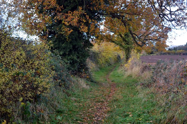
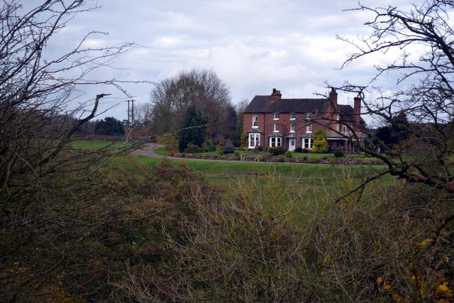
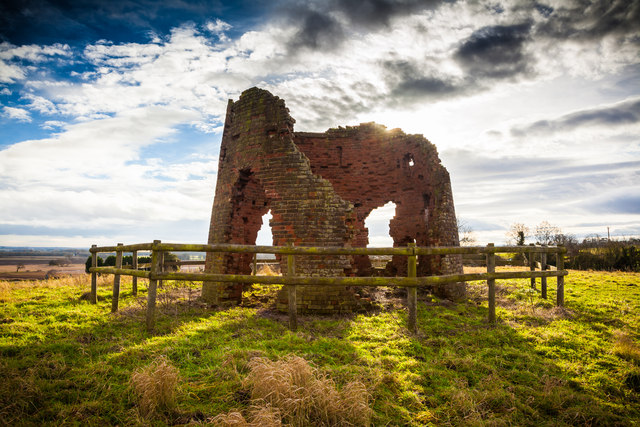
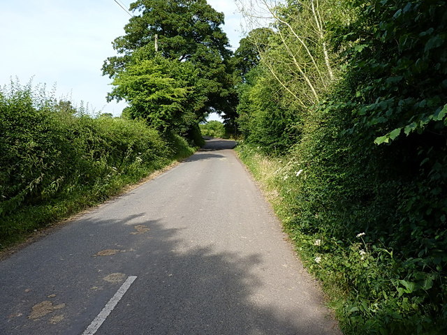
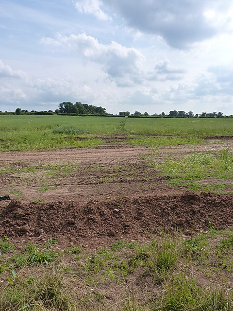
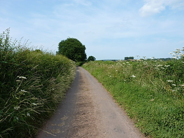
Brimstree Hill Images

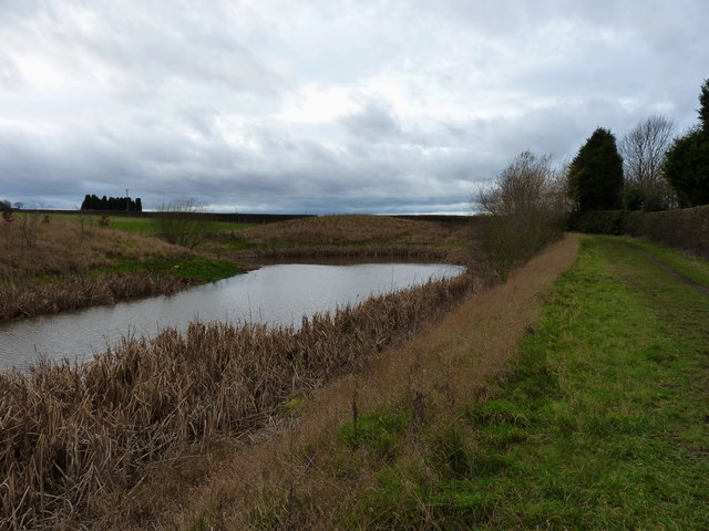
Images are sourced within 2km of 52.648846/-2.3715457 or Grid Reference SJ7405. Thanks to Geograph Open Source API. All images are credited.

A4169 at the junction for The Wyke
Roadworks on the approach to Shifnal
Shifnal - Innage Road railway bridge
Fieldside pool off Park Lane The water level in this pool has been falling for several years, but it usually tops up with a wet autumn & winter; not this year. The footpath that runs alongside the pool leads to a popular walk over Lodge Hill.
Fieldside pool off Park Lane
The water level in this pool has been falling for several years, but it usually tops up with a wet autumn & winter; not this year. The footpath that runs alongside the pool leads to a popular walk over Lodge Hill.
Enclosed footpath Approaching Kemberton on the Monarch’s Way long distance footpath
Enclosed footpath
Approaching Kemberton on the Monarch’s Way long distance footpath
Hinnington Grange Seen from across Wesley Brook
Hinnington Grange
Seen from across Wesley Brook
Windmill in Shifnal Taken on the 3rd Jan 2013.
Sun was behind subject & the sun just broke through for a few minutes on what was a dull day
Windmill in Shifnal
Taken on the 3rd Jan 2013. Sun was behind subject & the sun just broke through for a few minutes on what was a dull day
Park Street A row of terraced cottages, built in 1850, on Park Street. The white building in the distance is the local branch of Lloyds Bank.
Park Street
A row of terraced cottages, built in 1850, on Park Street. The white building in the distance is the local branch of Lloyds Bank.
Flush Bracket 2497 - The Hem Ordnance Survey Flush Bracket, attached to the wall of a cottage at The Hem; as you can see, it's partially obscured by a downpipe, and was also hiding behind a potted rose which the owner kindly moved for me.
Flush Bracket 2497 - The Hem
Ordnance Survey Flush Bracket, attached to the wall of a cottage at The Hem; as you can see, it's partially obscured by a downpipe, and was also hiding behind a potted rose which the owner kindly moved for me.
The old Shifnal Road This short stretch of the old A4169 was isolated from the fast traffic when the road was realigned a few yards to the north in the 1970s. It now gives access to a number of cottages and barn conversions at The Hem, and provides a means of access to the Shifnal sewage works, Field Lane and Kemberton.
The old Shifnal Road
This short stretch of the old A4169 was isolated from the fast traffic when the road was realigned a few yards to the north in the 1970s. It now gives access to a number of cottages and barn conversions at The Hem, and provides a means of access to the Shifnal sewage works, Field Lane and Kemberton.
Field Lane leads to Kemberton Technically it leads to Shifnal sewage works, and also to Kemberton.
Field Lane leads to Kemberton
Technically it leads to Shifnal sewage works, and also to Kemberton.
Footpath to Kemberton Running from Field Lane across fields into Kemberton.
Footpath to Kemberton
Running from Field Lane across fields into Kemberton.
Field Lane out of Kemberton The clump of trees just above the hedge on the right is actually on top of the nearby Lodge Hill in <a href="https://www.geograph.org.uk/gridref/SJ7405">SJ7405</a>, a popular local walk and sometime sledging venue.
Field Lane out of Kemberton
The clump of trees just above the hedge on the right is actually on top of the nearby Lodge Hill in SJ7405, a popular local walk and sometime sledging venue.
OS benchmark - Aston Street railway viaduct A cutmark at the base of one of the viaduct arches (the last one before the Chinese takeaway). Levelled to a height of 88.54m, 290'6" above Ordnance Datum Newlyn.
OS benchmark - Aston Street railway viaduct
A cutmark at the base of one of the viaduct arches (the last one before the Chinese takeaway). Levelled to a height of 88.54m, 290'6" above Ordnance Datum Newlyn.
OS benchmark - no 11, Park Street An OS cutmark on the front wall of no 11, Park Street; the furthest in the row of terraced cottages at <a href="https://www.geograph.org.uk/photo/3373400">SJ7407 : Park Street</a>. Levelled at a height of 86.95m, 285'3" above Ordnance Datum Newlyn.
OS benchmark - no 11, Park Street
An OS cutmark on the front wall of no 11, Park Street; the furthest in the row of terraced cottages at SJ7407 : Park Street. Levelled at a height of 86.95m, 285'3" above Ordnance Datum Newlyn.
OS benchmark - Park Farm A cutmark in the wall bounding the north side of the A464 leaving Shifnal. The mark itself is rather obscured by a patch of paint outlining it, but can be felt more clearly with fingers on the brickwork. Levelled at a height of 84.01m, 275'7" above Ordnance Datum Newlyn.
OS benchmark - Park Farm
A cutmark in the wall bounding the north side of the A464 leaving Shifnal. The mark itself is rather obscured by a patch of paint outlining it, but can be felt more clearly with fingers on the brickwork. Levelled at a height of 84.01m, 275'7" above Ordnance Datum Newlyn.
OS benchmark - Holmlea on Park Lane A cutmark in the brickwork of a house called Holmlea, just past St Andrews C of E Primary School. Levelled at 88.0232m, 288'9" above Ordnance Datum Nelwyn.
OS benchmark - Holmlea on Park Lane
A cutmark in the brickwork of a house called Holmlea, just past St Andrews C of E Primary School. Levelled at 88.0232m, 288'9" above Ordnance Datum Nelwyn.
OS benchmark - House at The Hem A cutmark in the brickwork of a semi-detached cottage just east of The Hem, levelled at a height of 87.3892m, 286'8" above Ordnance Datum Nelwyn.
OS benchmark - House at The Hem
A cutmark in the brickwork of a semi-detached cottage just east of The Hem, levelled at a height of 87.3892m, 286'8" above Ordnance Datum Nelwyn.
Show me another place!

Brimstree Hill is located at Grid Ref: SJ7405 (Lat: 52.648846, Lng: -2.3715457)

Unitary Authority: Shropshire

Police Authority: West Mercia

What 3 Words

///treetop.roof.earliest. Near Shifnal, Shropshire

Nearby Locations

Lodge Hill Brimstree Hill

Related Wikis

Shifnal

Shifnal () is a market town and civil parish in Shropshire, England, about 4 miles (6 km) east of Telford, 17 miles (27 km) east of Shrewsbury and 13 miles...

Shifnal railway station

Shifnal railway station is a railway station which serves the town of Shifnal in Shropshire, England. The station is managed by West Midlands Trains, who...

Shifnal Rural District

Shifnal was a rural district in Shropshire, England from 1894 to 1974. It was created from the Shifnal rural sanitary district by the Local Government...

Shrewsbury Road, Shifnal

Shrewsbury Road is a cricket ground in Shifnal, Shropshire, England. The first recorded match on the ground was in 1900, when Shifnal played Wolverhampton...

Have you been to Brimstree Hill?

Leave your review of Brimstree Hill below (or comments, questions and feedback).