Cockshot Hill

Hill, Mountain in Worcestershire

England

Cockshot Hill

A4103 at Storridge
A4103 at Storridge Credit: Peter Whatley

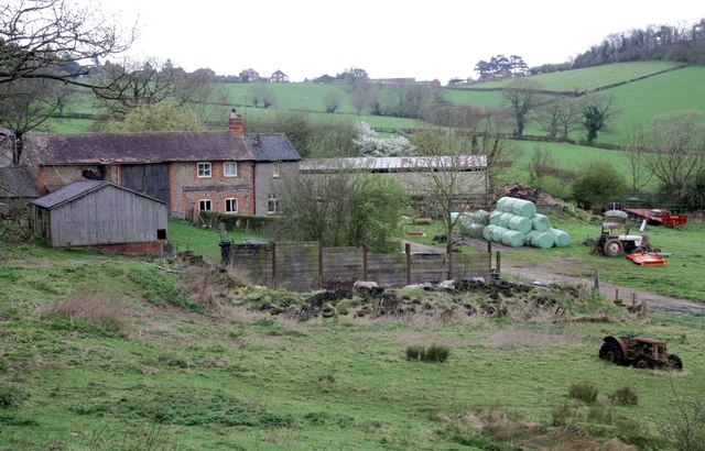
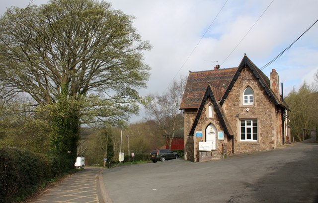
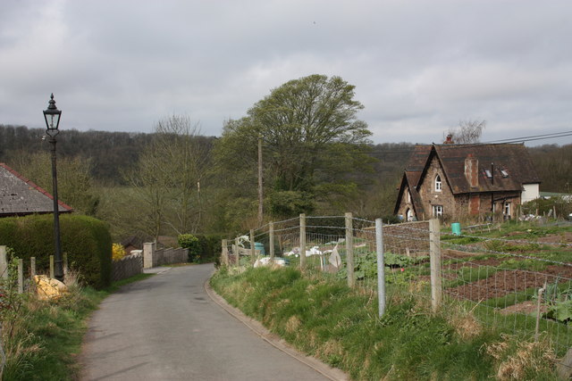
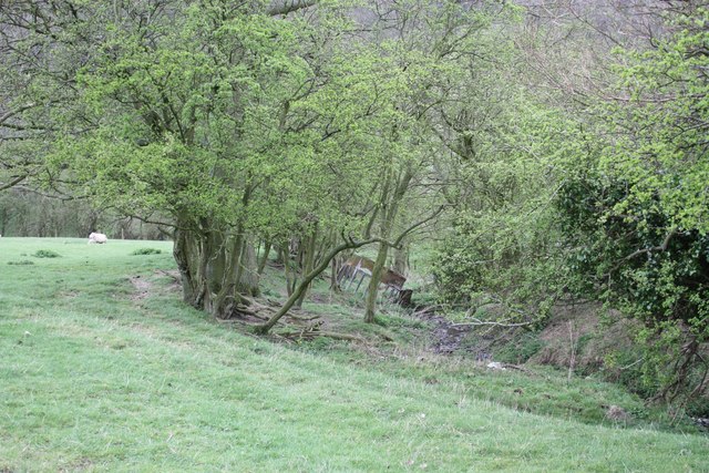
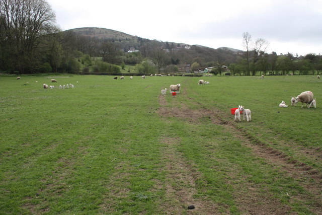
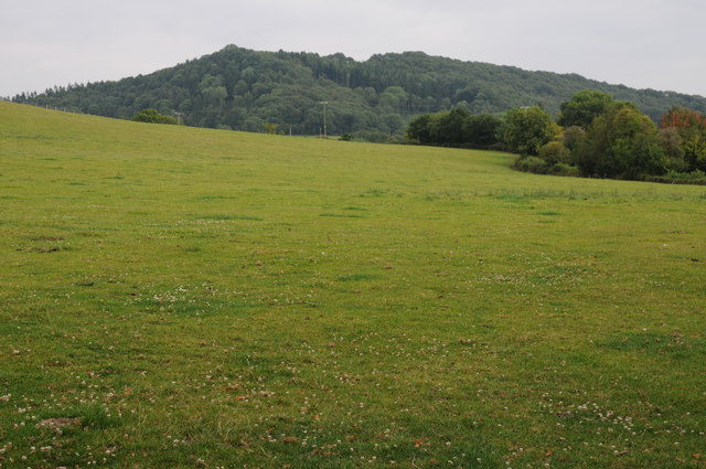
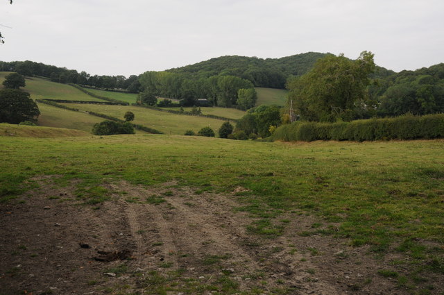
Cockshot Hill is a prominent landmark situated in Worcestershire, England. It is a hill that stands at an elevation of approximately 233 meters (764 feet) above sea level. Located near the village of Beoley, the hill offers spectacular views of the surrounding countryside and is a popular destination for hikers, nature enthusiasts, and photographers.

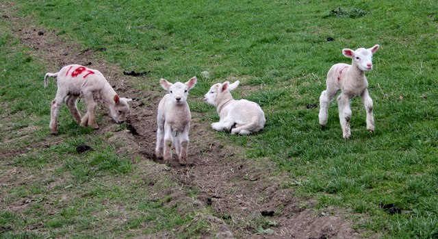
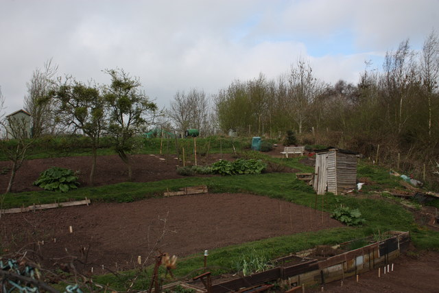
Covered in lush greenery, Cockshot Hill is known for its diverse flora and fauna. The hill is home to a variety of plant species, including heather, gorse, and bracken, which create a vibrant landscape throughout the year. It also serves as a habitat for numerous bird species, such as skylarks and meadow pipits, making it a haven for birdwatchers.

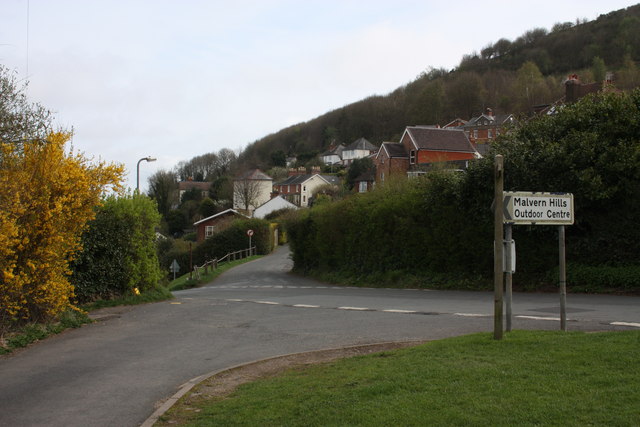
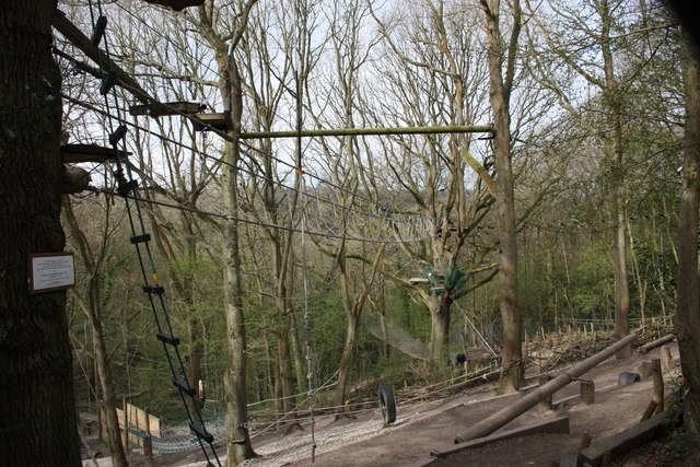
The hill is easily accessible, with several footpaths leading to its summit. These well-maintained trails wind through woodland areas and open fields, offering different routes for visitors to choose from. At the top, there is a trig point that marks the highest point of the hill, providing a perfect spot to pause and take in the breathtaking panoramic views.

Cockshot Hill has a rich history, with evidence of human activity dating back to prehistoric times. Archaeological finds in the area suggest that it was once inhabited by early settlers and has been used for farming and grazing throughout the centuries.

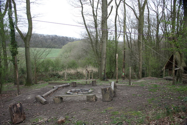
With its natural beauty, diverse wildlife, and historical significance, Cockshot Hill is a cherished destination for locals and tourists alike, offering a tranquil escape and an opportunity to connect with nature.

If you have any feedback on the listing, please let us know in the comments section below.

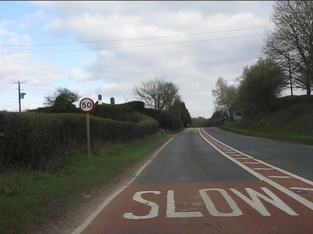
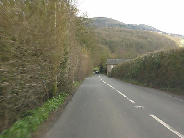
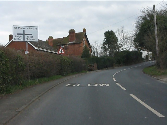
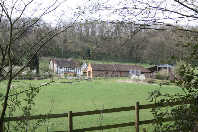
Cockshot Hill Images

Images are sourced within 2km of 52.11773/-2.3673736 or Grid Reference SO7446. Thanks to Geograph Open Source API. All images are credited.

A4103 at Storridge
A4103 at Storridge
Cowleigh Road near Rough Hill Wood
North Malvern - Cowleigh Road approaching Cowleigh Bank crossroads
Cowleigh Gate Farm From near the ford through Whippets Brook in Cowleigh Park.
Cowleigh Gate Farm
From near the ford through Whippets Brook in Cowleigh Park.
Birches Farm In the valley of the Whippets Brook between the limestone ridge to the west and the granite of the Malvern Hills to the east.
Birches Farm
In the valley of the Whippets Brook between the limestone ridge to the west and the granite of the Malvern Hills to the east.
Young lambs near Birches Farm The lambs are numbered to match their mothers.
They seemed to gather on the footpath and appeared more curious than cautious - until their anxious mothers called to them.
Young lambs near Birches Farm
The lambs are numbered to match their mothers. They seemed to gather on the footpath and appeared more curious than cautious - until their anxious mothers called to them.
Reception, West Malvern Outdoor Centre Dating back to the open air school of 1914.
"The main focus of a visit to the centre is the residential experience, incorporating activities designed to challenge and stretch participants."
<span class="nowrap"><a title="http://www.worcestershire.gov.uk/cms/education-and-learning/be-healthy/outdoor-education-centres/malvern-hills-oec.aspx" rel="nofollow ugc noopener" href="http://www.worcestershire.gov.uk/cms/education-and-learning/be-healthy/outdoor-education-centres/malvern-hills-oec.aspx">Link</a><img style="margin-left:2px;" alt="External link" title="External link - shift click to open in new window" src="https://s1.geograph.org.uk/img/external.png" width="10" height="10"/></span>
Reception, West Malvern Outdoor Centre
Dating back to the open air school of 1914. "The main focus of a visit to the centre is the residential experience, incorporating activities designed to challenge and stretch participants." LinkExternal link
Old Hollow, West Malvern The junction with the narrow road to the outdoor education centre.
Old Hollow, West Malvern
The junction with the narrow road to the outdoor education centre.
The road to West Malvern Outdoor Centre The narrow lane is still lit with the old gas lamps.
The building on the right is the reception office for the outdoor centre.
The road to West Malvern Outdoor Centre
The narrow lane is still lit with the old gas lamps. The building on the right is the reception office for the outdoor centre.
West Malvern allotments Just off the road to the outdoor centre.
The apple trees are bristling with mistletoe.
West Malvern allotments
Just off the road to the outdoor centre. The apple trees are bristling with mistletoe.
Confidence course The plaque on the tree reads:
This Confidence Course at
West Malvern Outdoor Education Centre
was designed and erected by
the staff of the centre and opened for use by
Colonel J.N. Blashford Snell MBE
on January 12th 1991
"To encourage the development of confidence, trust and self-control"
Education Department
Hereford and Worcester County Council
Confidence course
The plaque on the tree reads: This Confidence Course at West Malvern Outdoor Education Centre was designed and erected by the staff of the centre and opened for use by Colonel J.N. Blashford Snell MBE on January 12th 1991 "To encourage the development of confidence, trust and self-control" Education Department Hereford and Worcester County Council
Camp fire, West Malvern Outdoor Education Centre Just below the ropes and confidence course.
Camp fire, West Malvern Outdoor Education Centre
Just below the ropes and confidence course.
Field boundary and stream near Birches Farm The trees are slowly spreading into the field.
Field boundary and stream near Birches Farm
The trees are slowly spreading into the field.
Ewes and lambs near Birches Farm Looking back along the bridleway towards the farm with West Malvern and North hill beyond.
Ewes and lambs near Birches Farm
Looking back along the bridleway towards the farm with West Malvern and North hill beyond.
Storridge church
Storridge church
Earl Beauchamp's spout - Well Dressing 2011 Barbara Meddows on behalf of the West Malvern Garden & Nature Club interpreted this year's theme of "Togetherness" with the Beatles best ever song "All You Need is Love" for which it acquired a Gold Award.
Earl Beauchamp's spout - Well Dressing 2011
Barbara Meddows on behalf of the West Malvern Garden & Nature Club interpreted this year's theme of "Togetherness" with the Beatles best ever song "All You Need is Love" for which it acquired a Gold Award.
View to High Grove Wood View to High Grove Wood at Vinesend to the east of Cradley.
View to High Grove Wood
View to High Grove Wood at Vinesend to the east of Cradley.
Rolling farmland around Cradley Rolling farmland above the A4104 Worcester to Hereford road near Cradley.
Rolling farmland around Cradley
Rolling farmland above the A4104 Worcester to Hereford road near Cradley.
Show me another place!

Cockshot Hill is located at Grid Ref: SO7446 (Lat: 52.11773, Lng: -2.3673736)

Unitary Authority: County of Herefordshire

Police Authority: West Mercia

What 3 Words

///cherished.kilt.ideals. Near Great Malvern, Worcestershire

Related Wikis

Regents Theological College

Regents Theological College is a theological college in Malvern, Worcestershire, England. It is the training centre of the Elim Pentecostal Church. First...

West Malvern

West Malvern is a village and a civil parish on the west side of the north part of the Malvern Hills, on the western edge of Worcestershire, England. It...

Cradley, Herefordshire

Cradley () is a village in the civil parish of Cradley and Storridge, in Herefordshire, England. The nearest Herefordshire to Cradley towns are Ledbury...

Mathon, Herefordshire

Mathon is a small village and civil parish in eastern Herefordshire, England, lying just to the west of the Malvern Hills between Malvern and Ledbury....

Related Videos

My cute dog and solo female Hiker on a walk up Malvern Hills,

In this week's episode, we are at the Malvern Hills, walk with us up to British Camp and look at the stunning views over Shropshire ...

Nearby Amenities

Located within 500m of 52.11773,-2.3673736
Stockton Coppice
Power: pole
Transformer: distribution
Voltage Primary: 11000
Lat/Long: 52.1144437/-2.3652651
Power: pole
Lat/Long: 52.1137449/-2.3647816
The data included in this document is from www.openstreetmap.org. The data is made available under ODbL.

Have you been to Cockshot Hill?

Leave your review of Cockshot Hill below (or comments, questions and feedback).