Lumbridge Hill Wood

Wood, Forest in Herefordshire

England

Lumbridge Hill Wood

A4103 at Storridge
A4103 at Storridge Credit: Peter Whatley

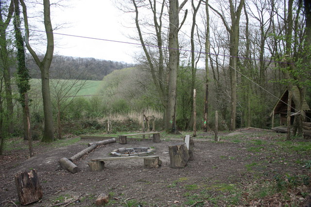
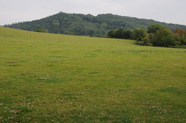
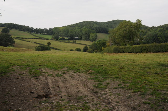
Lumbridge Hill Wood is a picturesque forest located in Herefordshire, England. Covering an area of approximately 100 acres, it is a popular destination for nature lovers and outdoor enthusiasts alike.

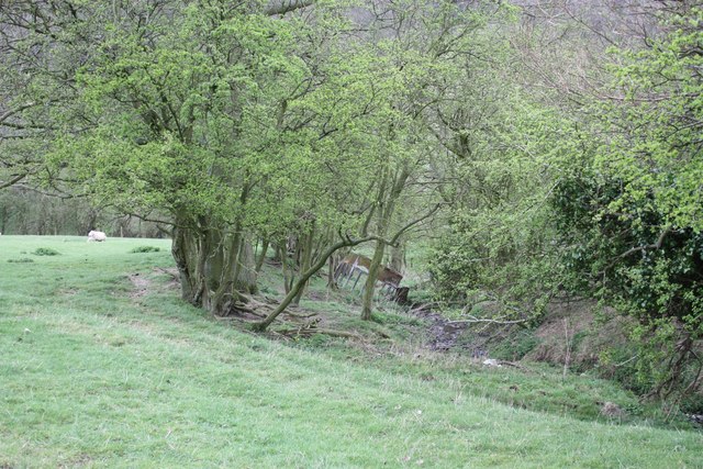
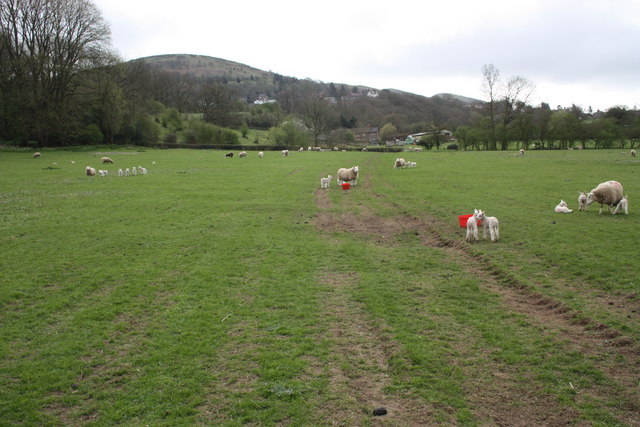
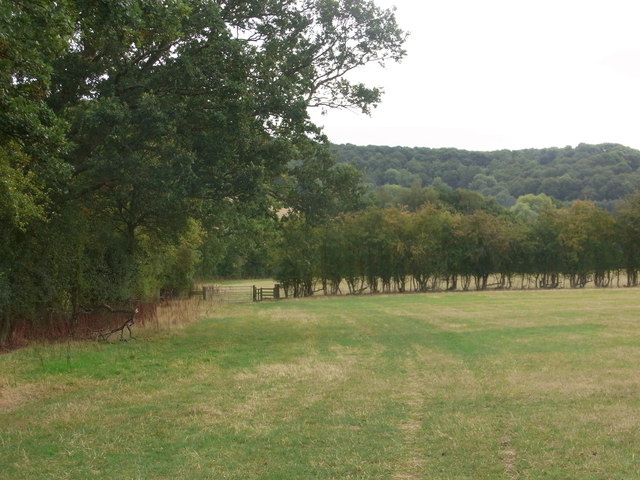
The wood is characterized by its diverse range of tree species, including oak, beech, ash, and birch. These majestic trees create a dense canopy, providing shade and shelter for an abundance of wildlife. In spring, the forest floor comes alive with a carpet of vibrant bluebells, creating a truly enchanting sight.

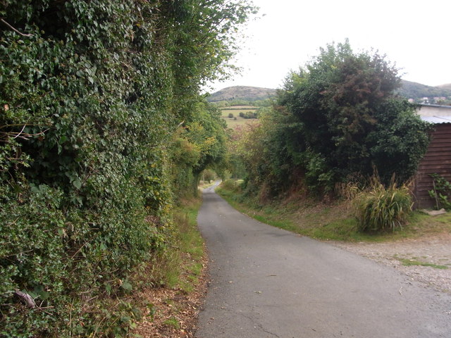
Tranquil walking trails wind their way through Lumbridge Hill Wood, offering visitors the opportunity to explore its natural beauty. The paths are well-maintained and suitable for all ages and abilities, making it a perfect destination for a family outing or a peaceful solo stroll. Along the way, hikers may encounter various species of birds, squirrels, rabbits, and even the occasional deer.

The forest is also home to a small pond, which serves as a watering hole for many animals. It is a great spot for bird watching, as several species can often be seen bathing or drinking from the clear waters.

Lumbridge Hill Wood is a haven for nature enthusiasts seeking tranquility and a chance to reconnect with the natural world. Its idyllic setting, diverse flora and fauna, and well-maintained trails make it a must-visit destination for anyone visiting Herefordshire.

If you have any feedback on the listing, please let us know in the comments section below.

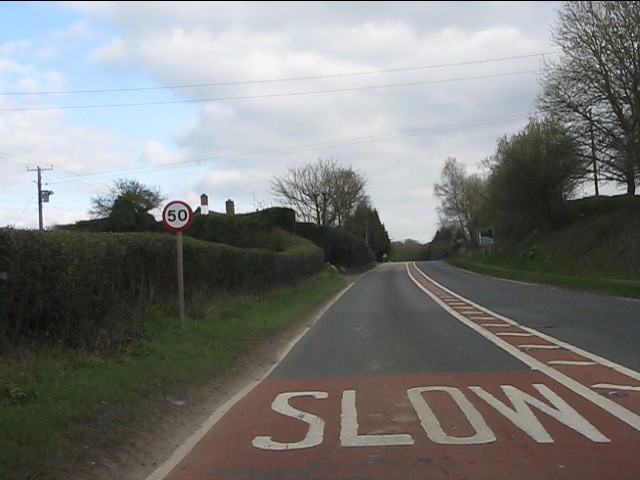
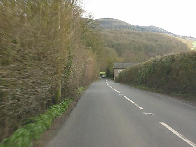
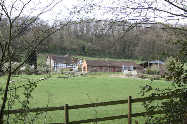
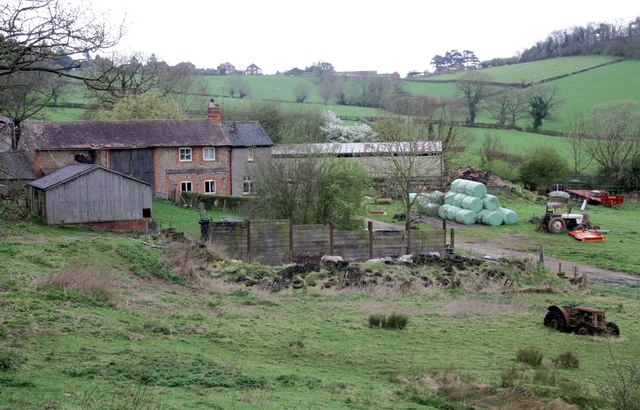
Lumbridge Hill Wood Images

Images are sourced within 2km of 52.120316/-2.3798386 or Grid Reference SO7446. Thanks to Geograph Open Source API. All images are credited.

A4103 at Storridge
A4103 at Storridge
Cowleigh Road near Rough Hill Wood
Cowleigh Gate Farm From near the ford through Whippets Brook in Cowleigh Park.
Cowleigh Gate Farm
From near the ford through Whippets Brook in Cowleigh Park.
Birches Farm In the valley of the Whippets Brook between the limestone ridge to the west and the granite of the Malvern Hills to the east.
Birches Farm
In the valley of the Whippets Brook between the limestone ridge to the west and the granite of the Malvern Hills to the east.
Young lambs near Birches Farm The lambs are numbered to match their mothers.
They seemed to gather on the footpath and appeared more curious than cautious - until their anxious mothers called to them.
Young lambs near Birches Farm
The lambs are numbered to match their mothers. They seemed to gather on the footpath and appeared more curious than cautious - until their anxious mothers called to them.
Camp fire, West Malvern Outdoor Education Centre Just below the ropes and confidence course.
Camp fire, West Malvern Outdoor Education Centre
Just below the ropes and confidence course.
Field boundary and stream near Birches Farm The trees are slowly spreading into the field.
Field boundary and stream near Birches Farm
The trees are slowly spreading into the field.
Ewes and lambs near Birches Farm Looking back along the bridleway towards the farm with West Malvern and North hill beyond.
Ewes and lambs near Birches Farm
Looking back along the bridleway towards the farm with West Malvern and North hill beyond.
Storridge church
Storridge church
Farm at Storridge
Farm at Storridge
View to High Grove Wood View to High Grove Wood at Vinesend to the east of Cradley.
View to High Grove Wood
View to High Grove Wood at Vinesend to the east of Cradley.
Rolling farmland around Cradley Rolling farmland above the A4104 Worcester to Hereford road near Cradley.
Rolling farmland around Cradley
Rolling farmland above the A4104 Worcester to Hereford road near Cradley.
Drive at Bank Farm, West Malvern
Gateway on path above Bank Farm What used to hang here ?
Gateway on path above Bank Farm
What used to hang here ?
Path to Netherley Hall On a very steep bank below Cockshot Hill.
Path to Netherley Hall
On a very steep bank below Cockshot Hill.
Path alongside ditch,  towards High Grove Wood In a big field below Lumbridge Hill Wood.
Path alongside ditch, towards High Grove Wood
In a big field below Lumbridge Hill Wood.
Old quarry and building above Upper Vinesend Farm
Bridge over the ford, Whippets Brook
Show me another place!

Lumbridge Hill Wood is located at Grid Ref: SO7446 (Lat: 52.120316, Lng: -2.3798386)

Unitary Authority: County of Herefordshire

Police Authority: West Mercia

What 3 Words

///yourself.design.playback. Near Great Malvern, Worcestershire

Related Wikis

Cradley, Herefordshire

Cradley () is a village in the civil parish of Cradley and Storridge, in Herefordshire, England. The nearest Herefordshire to Cradley towns are Ledbury...

Mathon, Herefordshire

Mathon is a small village and civil parish in eastern Herefordshire, England, lying just to the west of the Malvern Hills between Malvern and Ledbury....

West Malvern

West Malvern is a village and a civil parish on the west side of the north part of the Malvern Hills, on the western edge of Worcestershire, England. It...

Regents Theological College

Regents Theological College is a theological college in Malvern, Worcestershire, England. It is the training centre of the Elim Pentecostal Church. First...

Nearby Amenities

Located within 500m of 52.120316,-2.3798386
Barrier: swing_gate
Lat/Long: 52.1170136/-2.3817901
Crossing
Lat/Long: 52.1172069/-2.3830609
Barrier: kissing_gate
Source: survey;gps
Lat/Long: 52.1187343/-2.3841237
Barrier: kissing_gate
Lat/Long: 52.1215779/-2.3856537
Netherley Farm - LFUS
Power: pole
Transformer: distribution
Voltage Primary: 11000
Lat/Long: 52.116638/-2.3831843
Bullocks Cottage
Power: pole
Transformer: distribution
Voltage Primary: 11000
Lat/Long: 52.1194474/-2.3850699
Power: pole
Lat/Long: 52.1197142/-2.3858715
Church House
Power: pole
Transformer: distribution
Voltage Primary: 11000
Lat/Long: 52.1213269/-2.3864928
Power: pole
Lat/Long: 52.1209802/-2.3866343
Power: pole
Lat/Long: 52.1206125/-2.3866383
Power: pole
Lat/Long: 52.119969/-2.3865954
Power: pole
Lat/Long: 52.123886/-2.3836765
Church Stile Farm
Power: pole
Transformer: distribution
Voltage Primary: 11000
Lat/Long: 52.1221412/-2.3819136
Power: pole
Lat/Long: 52.1226365/-2.3821134
Power: pole
Lat/Long: 52.1231314/-2.3823246
Power: pole
Lat/Long: 52.123634/-2.3825359
Power: pole
Lat/Long: 52.1240103/-2.3827022
The data included in this document is from www.openstreetmap.org. The data is made available under ODbL.

Have you been to Lumbridge Hill Wood?

Leave your review of Lumbridge Hill Wood below (or comments, questions and feedback).