Spion Kop
Hill, Mountain in Yorkshire Ribble Valley
England
Spion Kop

Spion Kop is a prominent hill located in the county of Yorkshire, England. With an elevation of approximately 1,000 feet (305 meters), it offers breathtaking panoramic views of the surrounding landscape. The hill is situated near the village of Clayton West, in the borough of Kirklees.
Spion Kop is primarily composed of millstone grit, a type of sedimentary rock, which gives it a distinctive rugged appearance. It is covered in heather and grass, creating a picturesque scene throughout the year. The hill is also home to a variety of wildlife, including birds, rabbits, and occasional deer.
The name "Spion Kop" has historical significance, as it is derived from the Battle of Spion Kop that took place in South Africa during the Second Boer War in 1900. The battle was named after the original Spion Kop hill in South Africa, which means "lookout hill" in Afrikaans. The Yorkshire hill was given this name by local residents to commemorate the soldiers from the region who fought and lost their lives in the war.
Spion Kop is a popular destination for outdoor enthusiasts, hikers, and nature lovers. It offers several walking trails, allowing visitors to explore its beauty and enjoy the stunning vistas from the top. On clear days, one can see as far as the Pennines and the Peak District National Park. The hill has also become a popular spot for paragliding and model aircraft flying.
Overall, Spion Kop in Yorkshire is a remarkable hill that combines natural beauty, historical significance, and recreational opportunities, making it a noteworthy destination for locals and tourists alike.
If you have any feedback on the listing, please let us know in the comments section below.
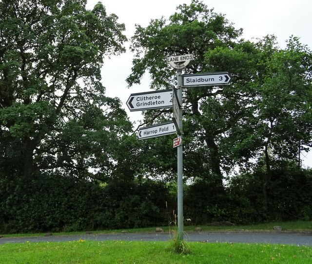
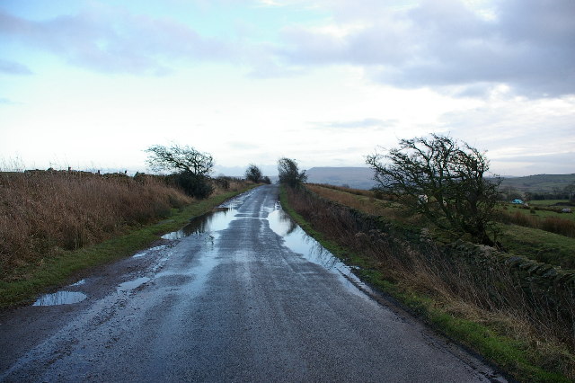
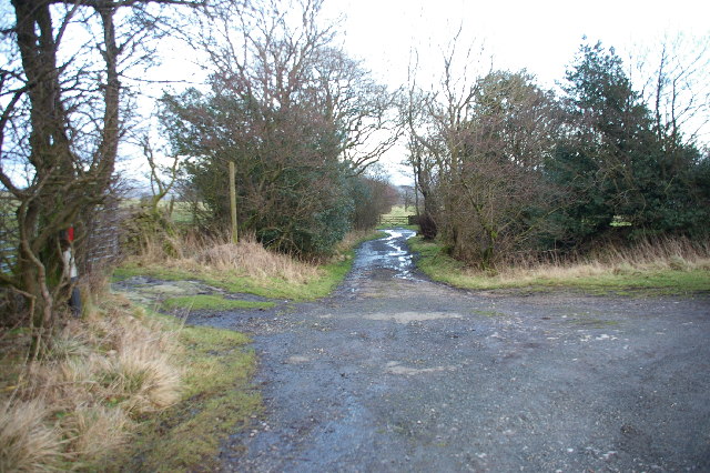
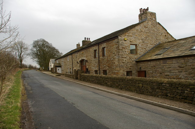
Spion Kop Images
Images are sourced within 2km of 53.962445/-2.3857569 or Grid Reference SD7451. Thanks to Geograph Open Source API. All images are credited.


Spion Kop is located at Grid Ref: SD7451 (Lat: 53.962445, Lng: -2.3857569)
Division: West Riding
Administrative County: Lancashire
District: Ribble Valley
Police Authority: Lancashire
What 3 Words
///thrusters.bonus.gladiator. Near Chatburn, Lancashire
Nearby Locations
Related Wikis

Slaidburn
Slaidburn () is a village and civil parish within the Ribble Valley district of Lancashire, England. The parish covers just over 5,000 acres of the Forest...

Lancashire Witches Walk
The Lancashire Witches Walk is a 51-mile (82 km) long-distance footpath opened in 2012, between Barrowford and Lancaster, all in Lancashire, England. It...

Easington Fell
Easington Fell is a Marilyn in the Forest of Bowland in Lancashire, England. It has been surveyed to be 70 cm higher than a nearby fell of almost identical...

King's House, Slaidburn
King's House is a Grade II listed building in Slaidburn, Lancashire, England, now used as a youth hostel. It was originally built in the 18th century,...
Nearby Amenities
Located within 500m of 53.962445,-2.3857569Have you been to Spion Kop?
Leave your review of Spion Kop below (or comments, questions and feedback).