Toddley Hill

Hill, Mountain in Aberdeenshire

Scotland

Toddley Hill

Road down from Core Hill
Road down from Core Hill Credit: Ralph Greig

Toddley Hill is a prominent hill located in Aberdeenshire, Scotland. Situated in the picturesque countryside, it forms part of the Grampian Mountains. Rising to an elevation of approximately 480 meters (1,574 feet), it offers stunning panoramic views of the surrounding area.

The hill is characterized by its gently sloping sides and its distinct rocky summit. Its terrain primarily consists of heather moorland, with scattered patches of grass and shrubs. Several small streams flow down its slopes, adding to the natural beauty of the landscape.

Toddley Hill is a popular destination for hikers and nature enthusiasts. It is accessible via a well-marked trail that starts from a nearby village. The hike to the summit is of moderate difficulty, making it suitable for both experienced and novice hikers. Along the way, visitors can enjoy the diverse flora and fauna, including native wildflowers and bird species.

While the hill itself is not home to any notable historical or archaeological sites, it offers a peaceful retreat for those seeking solace in nature. The surrounding area is known for its rich history and cultural heritage, with several ancient castles and ruins located nearby.

Overall, Toddley Hill serves as a scenic landmark and recreational spot in Aberdeenshire, attracting visitors with its natural beauty and captivating views.

If you have any feedback on the listing, please let us know in the comments section below.

Toddley Hill Images

Images are sourced within 2km of 57.390262/-2.421214 or Grid Reference NJ7433. Thanks to Geograph Open Source API. All images are credited.

Road down from Core Hill
Radio and TV masts on Corehill
Aberdeenshire Countryside Looking northwards over fields from the roadside near Springleys.
Aberdeenshire Countryside
Looking northwards over fields from the roadside near Springleys.
Houses at Cowhill Groups of dwellings, old and new at Cowhill.
Houses at Cowhill
Groups of dwellings, old and new at Cowhill.
Core Hill Trig Pillar The triangulation pillar on Core Hill in the shadow of the Meldrum Transmitter.
Core Hill Trig Pillar
The triangulation pillar on Core Hill in the shadow of the Meldrum Transmitter.
Meldrum Transmitter The TV transmitter on Core Hill viewed from the south-east.
Meldrum Transmitter
The TV transmitter on Core Hill viewed from the south-east.
Heading down Core Hill Road heading west down from Core Hill, with Tap O' Noth and the Hill of Foudland on the horizon out to the west.
Heading down Core Hill
Road heading west down from Core Hill, with Tap O' Noth and the Hill of Foudland on the horizon out to the west.
Looking south to scrubland View south from the road between Folla Rule and Cross of Jackston to heath and bogland, with Bennachie beyond.
Looking south to scrubland
View south from the road between Folla Rule and Cross of Jackston to heath and bogland, with Bennachie beyond.
Road to Folla Rule Minor road heading south-west to eventually drop down to Folla Rule, with Bennachie dominating the scene on the horizon.
Road to Folla Rule
Minor road heading south-west to eventually drop down to Folla Rule, with Bennachie dominating the scene on the horizon.
Grazing sheep Sheep in a grassy pasture with the Backhill of Meikle Folla beyond.
Grazing sheep
Sheep in a grassy pasture with the Backhill of Meikle Folla beyond.
Foulla Rule Cementry
Former Episcopal Church, Folla Rule Church was built 1796.
Former Episcopal Church, Folla Rule
Church was built 1796.
Former Episcopal Church, Folla Rule  Church was built 1796.
Former Episcopal Church, Folla Rule
Church was built 1796.
Grazing, Folla Rule
Grazing, Folla Rule
Minor road heading south from Folla Rule Towards Goosehillock.
Minor road heading south from Folla Rule
Towards Goosehillock.
Folla Rule Cemetery
Folla Rule Cemetery
Minor road junction near Folla Rule Heading east.
Minor road junction near Folla Rule
Heading east.
Minor road heading east Towards Cross of Jackston.
Minor road heading east
Towards Cross of Jackston.
Show me another place!

Toddley Hill is located at Grid Ref: NJ7433 (Lat: 57.390262, Lng: -2.421214)

Unitary Authority: Aberdeenshire

Police Authority: North East

What 3 Words

///regarding.touchy.calculate. Near Rothienorman, Aberdeenshire

Nearby Locations

Toddley Hill

Related Wikis

Folla Rule

Folla Rule is a hamlet in Aberdeenshire, Scotland, on the site of the 1376 chapel of St Rule at Folla. Another church, St George's Episcopal, was built...

Meldrum transmitting station

The Meldrum transmitting station is a broadcasting and telecommunications facility, situated on Core Hill, 4.3 miles (6.9 km) north-west of the village...

Rothienorman railway station

Rothienorman railway station, Rothie or Rothie Norman was a railway station in Rothienorman, Aberdeenshire on the rural branchline to Macduff. It lay 7...
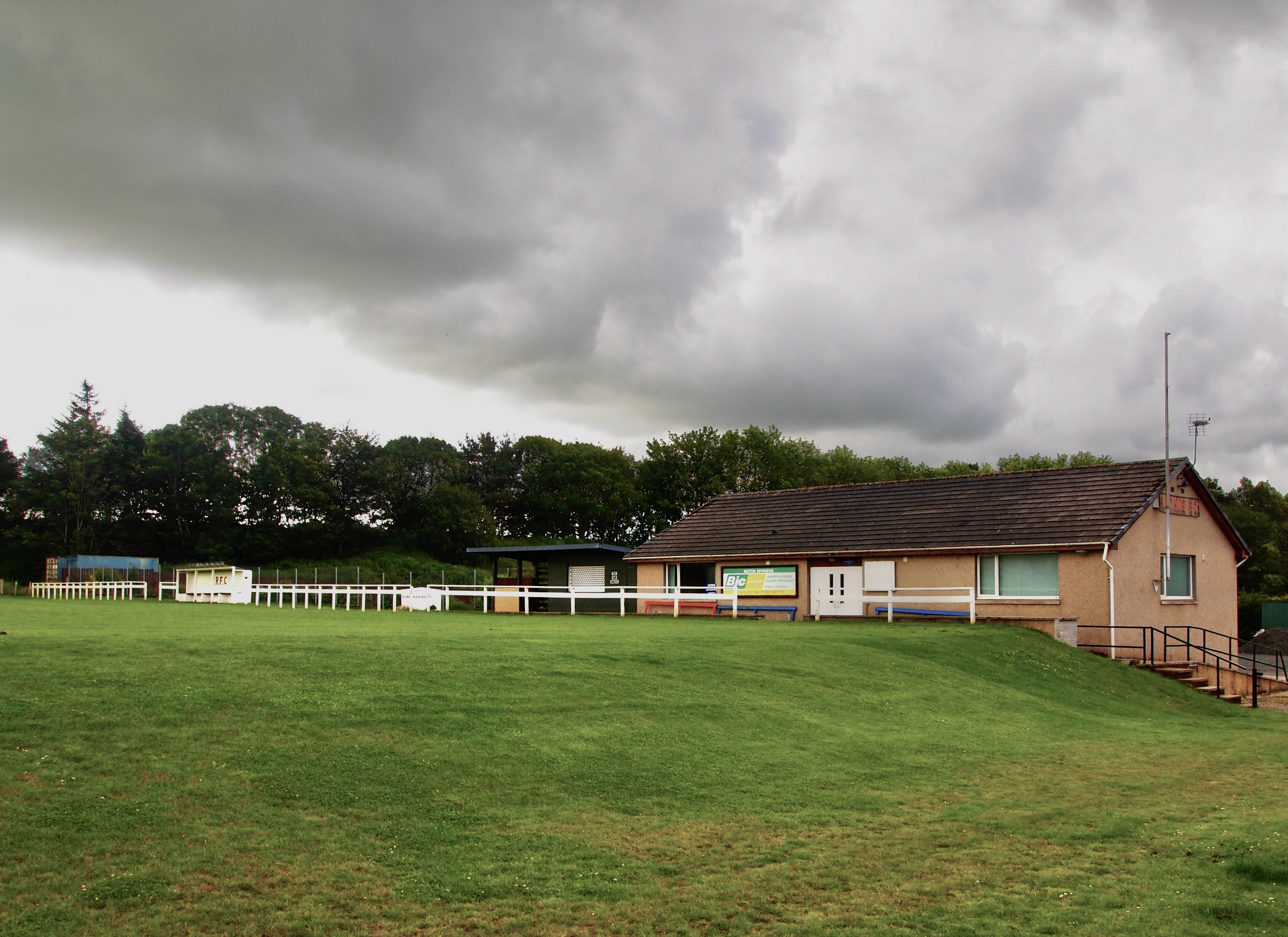
Rothie Rovers F.C.

Rothie Rovers are a Scottish football club from the village of Rothienorman in Aberdeenshire. They are members of the North Region of the Scottish Junior...

Nearby Amenities

Located within 500m of 57.390262,-2.421214
Generator Method: wind_turbine
Generator Output Electricity: yes
Generator Source: wind
Generator Type: horizontal_axis
Power: generator
Lat/Long: 57.3933494/-2.4233885
Power: pole
Lat/Long: 57.392791/-2.4150738
Power: pole
Lat/Long: 57.3920335/-2.4149223
Power: pole
Lat/Long: 57.3912668/-2.4147593
Power: pole
Lat/Long: 57.3904927/-2.4146001
Power: pole
Lat/Long: 57.3897094/-2.414441
Power: pole
Lat/Long: 57.3889653/-2.4142933
Power: pole
Lat/Long: 57.3881892/-2.4140114
Power: pole
Lat/Long: 57.3882966/-2.4149146
Power: pole
Lat/Long: 57.3881499/-2.4160383
Power: pole
Lat/Long: 57.3879866/-2.4172368
Power: pole
Lat/Long: 57.3878331/-2.4184526
Power: pole
Lat/Long: 57.3876719/-2.4196339
Power: pole
Lat/Long: 57.3875127/-2.4208132
Power: pole
Lat/Long: 57.3873438/-2.4220031
Power: pole
Lat/Long: 57.3872073/-2.423098
Power: pole
Lat/Long: 57.3869024/-2.4210769
Power: pole
Lat/Long: 57.3862399/-2.4213741
Power: pole
Lat/Long: 57.388595/-2.4159664
Power: pole
Lat/Long: 57.3889892/-2.417086
Power: pole
Lat/Long: 57.3893147/-2.4180428
The data included in this document is from www.openstreetmap.org. The data is made available under ODbL.

Have you been to Toddley Hill?

Leave your review of Toddley Hill below (or comments, questions and feedback).