Blackman's Law
Hill, Mountain in Northumberland
England
Blackman's Law
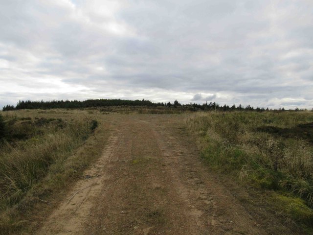
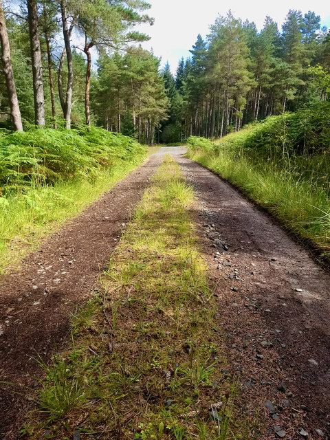
Blackman's Law is a prominent hill located in Northumberland, England. Situated in the Cheviot Hills, it forms part of the stunning Northumberland National Park. The hill stands at an elevation of approximately 463 meters (1,519 feet) above sea level, making it one of the highest points in the region.
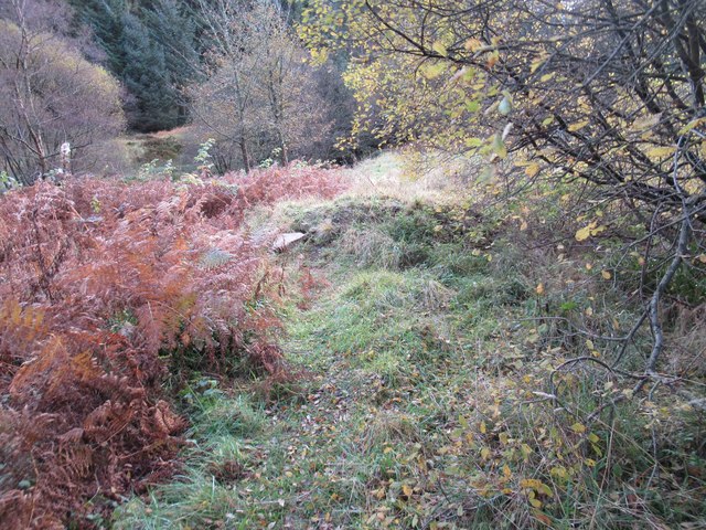
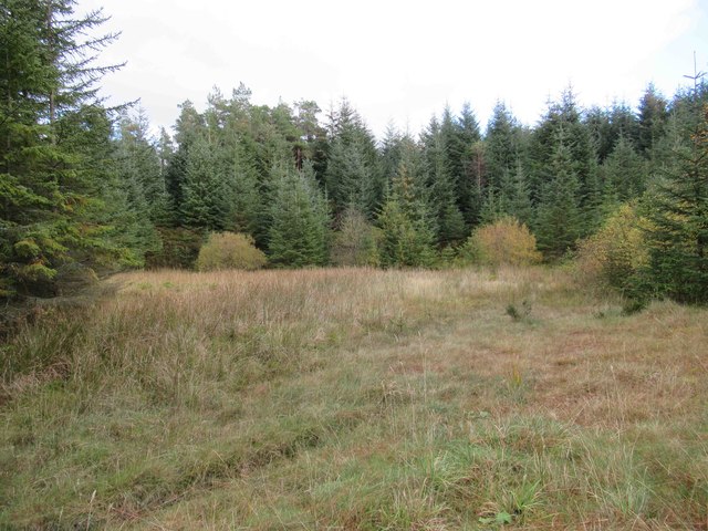
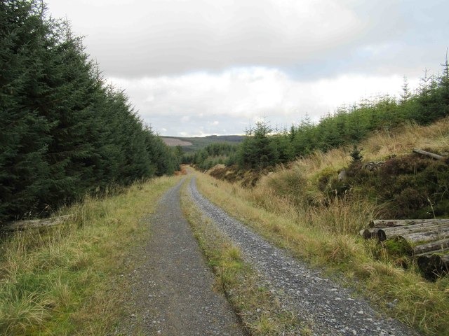
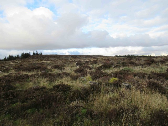
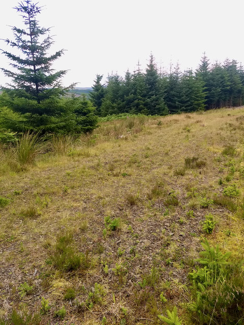
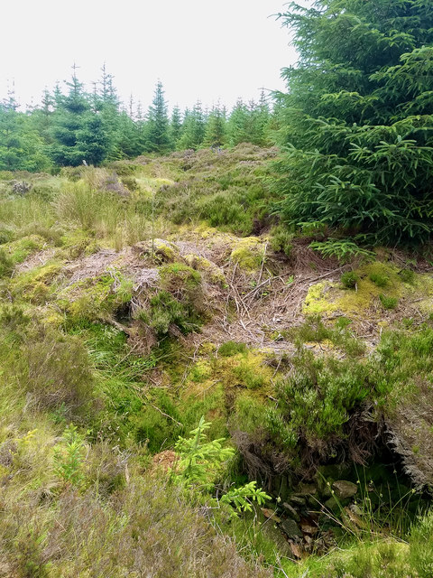
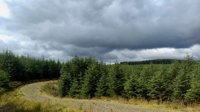
The hill is known for its distinctive shape and rugged terrain, with steep slopes and rocky outcrops characterizing its landscape. It offers breathtaking panoramic views of the surrounding countryside, including the Cheviot Hills, the Scottish Borders, and the Northumberland coast.
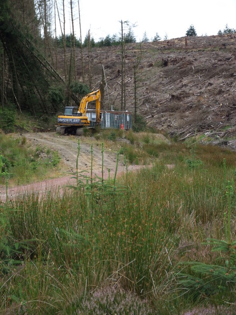
Blackman's Law is a popular destination for hikers, walkers, and nature enthusiasts, who are drawn to its natural beauty and tranquility. Several well-marked trails and footpaths traverse the hill, allowing visitors to explore its diverse flora and fauna. The area is home to a variety of wildlife, including red grouse, mountain hares, and various bird species.
The hill's name, Blackman's Law, is believed to have originated from the Old Norse word "hlaew," meaning burial mound or hill. The prefix "Blackman" has unclear origins but may refer to the dark, peaty soil found in the area.
Blackman's Law is not only a natural landmark but also a site of historical significance. It is said to have been a strategic lookout point during the Anglo-Scottish border conflicts, providing a vantage point for monitoring movements between the two nations.
Overall, Blackman's Law offers a captivating blend of natural beauty, outdoor recreation opportunities, and historical intrigue, making it a must-visit destination for those exploring Northumberland's stunning countryside.
If you have any feedback on the listing, please let us know in the comments section below.
Blackman's Law Images
Images are sourced within 2km of 55.275552/-2.4019634 or Grid Reference NY7498. Thanks to Geograph Open Source API. All images are credited.


Blackman's Law is located at Grid Ref: NY7498 (Lat: 55.275552, Lng: -2.4019634)
Unitary Authority: Northumberland
Police Authority: Northumbria
What 3 Words
///fond.risking.commoners. Near Rochester, Northumberland
Nearby Locations
Related Wikis

Kielderhead and Emblehope Moors
Kielderhead and Emblehope Moors are contiguous areas of moorland in northern Northumberland, England. A section of Kielderhead Moor is part of neighbouring...
Border Moors and Forests
Border Moors and Forests NCA is an upland plateau region in Northern England between the North East and North West regions, and touching the Anglo-Scottish...

Cottonshopeburnfoot
Cottonshopeburnfoot is a hamlet in Redesdale in Northumberland, England. It lies on the A68 road, 2 miles south east of the village of Byrness. The hamlet...
Byrness
Byrness is a village within Rochester civil parish in Northumberland, England. It is approximately 37 miles (60 km) north-west of Newcastle upon Tyne on...

A68 road
The A68 is a major road in the United Kingdom, running from Darlington in England to the A720 in Edinburgh, the capital of Scotland. It crosses the Anglo...
Ramshope
Ramshope is a hamlet and former civil parish, now in the parish of Rochester in Northumberland, England located in Northumberland National Park. It lies...

Whitelee Moor
Whitelee Moor is nature reserve of the Northumberland Wildlife Trust, in Northumberland, England, near Carter Bar. A large part of the moor is blanket...

Black Middens Bastle House
Black Middens Bastle House lies about 7 miles (11 km) northwest of Bellingham, Northumberland. It is a two-storey fortified stone farmhouse from the 16th...
Nearby Amenities
Located within 500m of 55.275552,-2.4019634Have you been to Blackman's Law?
Leave your review of Blackman's Law below (or comments, questions and feedback).