Craiginour
Hill, Mountain in Kincardineshire
Scotland
Craiginour

Craiginour is a hill located in the county of Kincardineshire, Scotland. It is situated in the eastern part of the county, near the small village of Crawton. With an elevation of around 315 meters (1,033 feet), Craiginour is classified as a hill rather than a mountain.
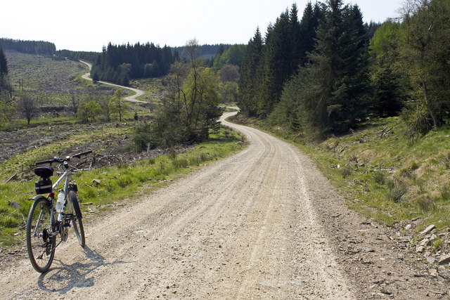
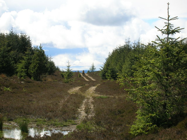
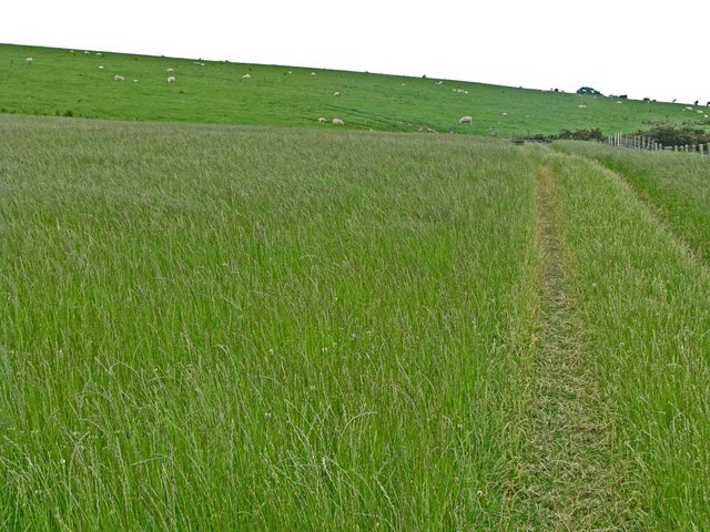
The hill is predominantly covered with heather and grass, typical of the Scottish landscape. It offers panoramic views of the surrounding countryside, including the North Sea to the east and the Mearns Valley to the south. On clear days, it is possible to spot the distant peaks of the Cairngorms National Park to the northwest.
Craiginour is a popular destination for outdoor enthusiasts, attracting hikers and nature lovers alike. There are several walking trails that lead to the summit, varying in difficulty and length. The routes are well-marked and maintained, ensuring a safe and enjoyable experience for visitors.
Wildlife is abundant in the area, with a variety of bird species such as red grouse, skylarks, and peregrine falcons frequently spotted. The hill is also home to small mammals like rabbits, hares, and foxes.
Craiginour is a peaceful and serene location, offering a tranquil escape from the hustle and bustle of everyday life. Whether one is seeking a challenging hike or simply a leisurely walk to enjoy the scenery, Craiginour provides an ideal setting for outdoor exploration in Kincardineshire.
If you have any feedback on the listing, please let us know in the comments section below.
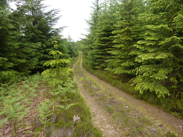
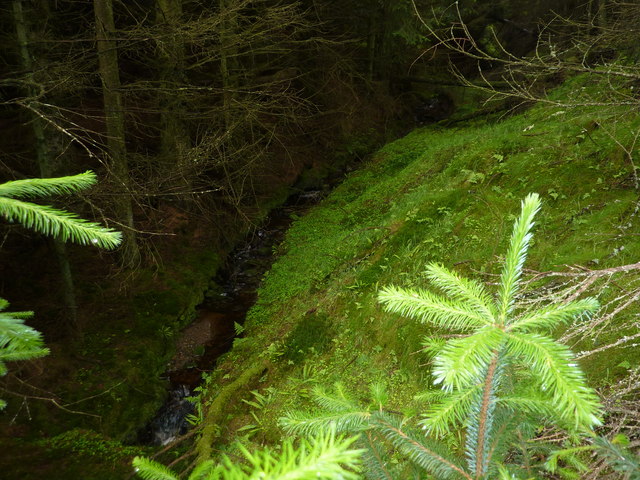
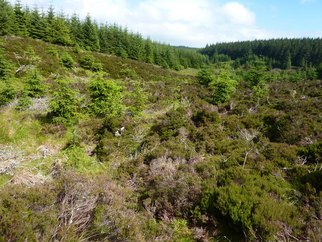
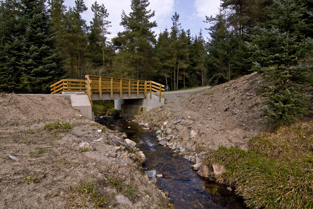
Craiginour Images
Images are sourced within 2km of 56.971403/-2.4203709 or Grid Reference NO7486. Thanks to Geograph Open Source API. All images are credited.


Craiginour is located at Grid Ref: NO7486 (Lat: 56.971403, Lng: -2.4203709)
Unitary Authority: Aberdeenshire
Police Authority: North East
What 3 Words
///burden.windy.feeds. Near Banchory, Aberdeenshire
Nearby Locations
Related Wikis

Craiginour
Craiginour is a hill located near Cowie Water in Stonehaven, Aberdeenshire, Scotland. Its summit is at 355 metres (1,165 ft). == References ==
Fetteresso Forest
The Fetteresso Forest is a woodland that is principally coniferous situated in the Mounth range of the Grampian Mountains in Aberdeenshire, Scotland. The...
Bogjurgan Hill
Bogjurgan Hill is an elevated landform at the southern verge of the Fetteresso Forest in Aberdeenshire, Scotland. Its top is at an elevation of 299 metres...
Cryne Corse Mounth
Cryne Corse Mounth is an old droving road which ran south across the high ground from the Dee valley in Aberdeenshire, eastern Scotland. Much of the route...
Nearby Amenities
Located within 500m of 56.971403,-2.4203709Have you been to Craiginour?
Leave your review of Craiginour below (or comments, questions and feedback).