Cross Lochan

Lake, Pool, Pond, Freshwater Marsh in Kincardineshire

Scotland

Cross Lochan

Forestry road in Fetteresso forest
Forestry road in Fetteresso forest Credit: Steven Brown

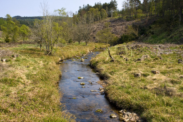
Cross Lochan is a picturesque freshwater lochan located in Kincardineshire, Scotland. With a surface area of approximately 2 hectares, it is considered a small but beautiful body of water. Situated amidst rolling hills and lush greenery, it exudes a sense of tranquility and natural charm.

The lochan is characterized by its crystal-clear waters, which are fed by natural springs and streams in the surrounding area. Its depth varies, with the deepest point measuring around 6 meters. The shores of Cross Lochan are adorned with a mix of reeds, grasses, and native vegetation, adding to its aesthetic appeal.

The lochan supports a diverse ecosystem, providing a habitat for various species of flora and fauna. Birdwatchers often flock to Cross Lochan to catch sight of a range of bird species, including ducks, moorhens, and even the occasional heron. The surrounding wetland areas serve as nesting grounds for waterfowl, contributing to the lochan's importance in terms of wildlife conservation.

Cross Lochan is a popular spot for recreational activities such as fishing and boating. Anglers are drawn to its waters due to the presence of brown trout, which can reach impressive sizes. The lochan is regularly stocked to maintain a healthy fish population, ensuring an enjoyable fishing experience for enthusiasts.

Visitors seeking tranquility and natural scenery will find Cross Lochan to be a hidden gem in Kincardineshire. Its serene ambiance, combined with its diverse wildlife and recreational opportunities, make it a must-visit destination for nature lovers and outdoor enthusiasts alike.

If you have any feedback on the listing, please let us know in the comments section below.
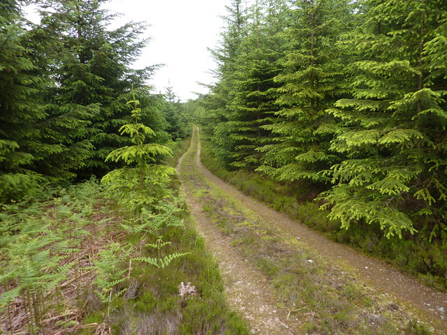
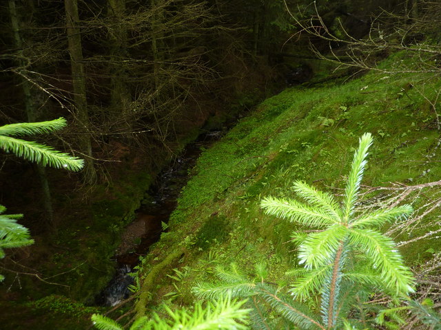
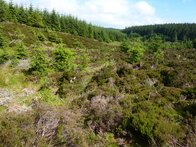
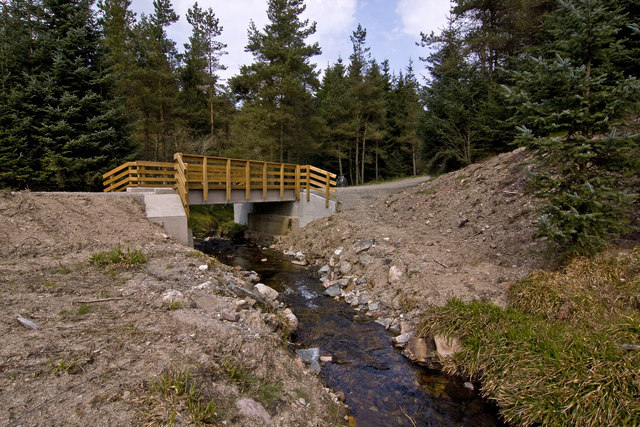
Cross Lochan Images

Images are sourced within 2km of 56.973229/-2.4143545 or Grid Reference NO7486. Thanks to Geograph Open Source API. All images are credited.

Forestry road in Fetteresso forest
Leachie Hill Trig Pillar Triangulation pillar on Leachie Hill, with the Mearns and North Sea in the distance out to the east.
Leachie Hill Trig Pillar
Triangulation pillar on Leachie Hill, with the Mearns and North Sea in the distance out to the east.
Cleared forest Remnants of the cleared forest near Foresters Grain, with the Durris Transmitter on the horizon to the north.
Cleared forest
Remnants of the cleared forest near Foresters Grain, with the Durris Transmitter on the horizon to the north.
Fetteresso Forest Looking northwards from a cleared area on Rashy Hill towards Fetteresso Forest.
Fetteresso Forest
Looking northwards from a cleared area on Rashy Hill towards Fetteresso Forest.
Forestry track Looking west along a forest track on the south slope of Craiginour in Fetteresso Forest.
Forestry track
Looking west along a forest track on the south slope of Craiginour in Fetteresso Forest.
Gully of Nouts' Lair Looking north-west along the gully of Nouts' Lair in Fetteresso Forest.
Gully of Nouts' Lair
Looking north-west along the gully of Nouts' Lair in Fetteresso Forest.
Fallen trees over the track Two fallen trees above a track in Fetteresso Forest.
Fallen trees over the track
Two fallen trees above a track in Fetteresso Forest.
Cowie Water The Cowie Water downstream from the bridge carrying the Cryne Corse Road across it.
Cowie Water
The Cowie Water downstream from the bridge carrying the Cryne Corse Road across it.
A track in the Fetteresso Forest
Foresters Grain A burn in the Fetteresso forest
Foresters Grain
A burn in the Fetteresso forest
Looking up The Burn of Happy Lodges In Fetteresso Forest. I don't know why it has the name " Happy Lodges".
Looking up The Burn of Happy Lodges
In Fetteresso Forest. I don't know why it has the name " Happy Lodges".
Bridge over the Burn of Finglennie On the Fetteresso forest Finglennie loop bike trail.
Bridge over the Burn of Finglennie
On the Fetteresso forest Finglennie loop bike trail.
The Cowie Water, Fetteresso forest
The Cryne Corse Road (track) A section of the mountain bike trail in Fetteresso forest.
The Cryne Corse Road (track)
A section of the mountain bike trail in Fetteresso forest.
Steep hillside track on Hill of Blacklodge
Lady Leys House Ruin of a refreshment house on the Cryne Corse drovers track. Legend has it that the house once served as an exile for a dowager lady sent there by a young laird so he could bring home a younger mistress.
Lady Leys House
Ruin of a refreshment house on the Cryne Corse drovers track. Legend has it that the house once served as an exile for a dowager lady sent there by a young laird so he could bring home a younger mistress.
Finnglennie loop The bike trail on the Finnglennie loop Fetteresso forest, after a gale.
Finnglennie loop
The bike trail on the Finnglennie loop Fetteresso forest, after a gale.
Cowie Water The Cowie Water as it runs through Fetteresso forest, it eventually enters the sea at Stonehaven.
Cowie Water
The Cowie Water as it runs through Fetteresso forest, it eventually enters the sea at Stonehaven.
Show me another place!

Cross Lochan is located at Grid Ref: NO7486 (Lat: 56.973229, Lng: -2.4143545)

Unitary Authority: Aberdeenshire

Police Authority: North East

What 3 Words

///sprint.fallback.pupils. Near Banchory, Aberdeenshire

Nearby Locations

Cross Lochan Craiginour

Related Wikis

Craiginour

Craiginour is a hill located near Cowie Water in Stonehaven, Aberdeenshire, Scotland. Its summit is at 355 metres (1,165 ft). Its nearest city is Aberdeen...
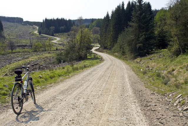
Fetteresso Forest

The Fetteresso Forest is a woodland that is principally coniferous situated in the Mounth range of the Grampian Mountains in Aberdeenshire, Scotland. The...

Bogjurgan Hill

Bogjurgan Hill is an elevated landform at the southern verge of the Fetteresso Forest in Aberdeenshire, Scotland. Its top is at an elevation of 299 metres...

Cryne Corse Mounth

Cryne Corse Mounth is an old droving road which ran south across the high ground from the Dee valley in Aberdeenshire, eastern Scotland. Much of the route...

Nearby Amenities

Located within 500m of 56.973229,-2.4143545
Craiginour
Ele: 354
Natural: peak
Lat/Long: 56.971692/-2.420168
The data included in this document is from www.openstreetmap.org. The data is made available under ODbL.

Have you been to Cross Lochan?

Leave your review of Cross Lochan below (or comments, questions and feedback).