Neptune Hill

Hill, Mountain in Gloucestershire

England

Neptune Hill

Ruined barn
Ruined barn Credit: don cload

Neptune Hill is a prominent natural feature located in Gloucestershire, England. It is classified as a hill and is situated in the picturesque countryside near the village of Painswick. With an elevation of approximately 276 meters (905 feet), it offers breathtaking panoramic views of the surrounding landscape.

The hill derives its name from the Roman god of the sea, Neptune, which is a testament to its majestic presence. Neptune Hill is a popular destination among hikers, nature enthusiasts, and photographers due to its stunning vistas and serene atmosphere.

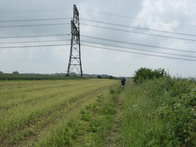
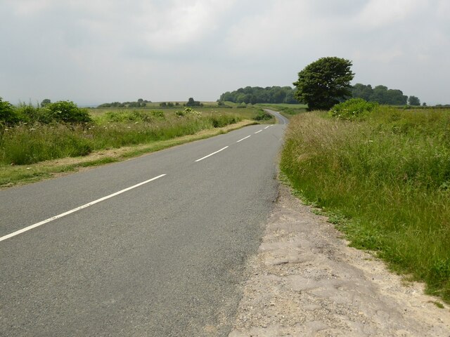
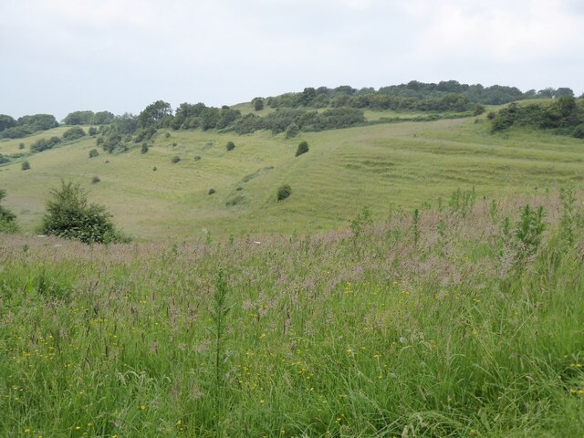
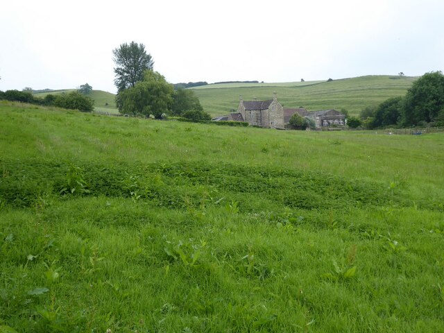
The hill itself is covered in lush greenery, with a variety of trees and plants dotting its slopes. It is also home to an array of wildlife, including birds and small mammals, making it an ideal spot for birdwatching and nature spotting. The terrain is mostly gentle, although there are steeper sections that provide an extra challenge for more adventurous visitors.

At the summit of Neptune Hill, visitors are rewarded with breathtaking views of the Cotswold Hills, the Severn Valley, and the nearby town of Stroud. On clear days, even the distant Brecon Beacons in Wales can be seen. The hill's strategic location and its unspoiled beauty make it a perfect spot for a peaceful picnic or a moment of quiet reflection.

Neptune Hill, Gloucestershire, is a true gem of the region, offering visitors a chance to connect with nature and enjoy the stunning vistas that this part of England has to offer.

If you have any feedback on the listing, please let us know in the comments section below.

Neptune Hill Images

Images are sourced within 2km of 51.47944/-2.36939 or Grid Reference ST7475. Thanks to Geograph Open Source API. All images are credited.

Ruined barn
Ruined barn
Lake in the valley
Lake in the valley
Path from Dyrham Wood
The Cotswold Way The Cotswold Way approaching a power pylon in Hinton Hill.
The Cotswold Way
The Cotswold Way approaching a power pylon in Hinton Hill.
Farmland on Hinton Hill The Cotswold Way follows the field edge by the hedge on the left.
Farmland on Hinton Hill
The Cotswold Way follows the field edge by the hedge on the left.
Minor road on Hinton Hill View west along this road towards Corporation Plantation from where the Cotswold Way long distance footpath crosses the road.
Minor road on Hinton Hill
View west along this road towards Corporation Plantation from where the Cotswold Way long distance footpath crosses the road.
Strip Lynchets Strip Lynchets on Hinton Hill, viewed from the Cotswold Way.
Strip Lynchets
Strip Lynchets on Hinton Hill, viewed from the Cotswold Way.
Farmland on the Cotswold escarpment Grassland on the Cotswold escarpment beside the Cotswold Way near Dyrham Park.
Farmland on the Cotswold escarpment
Grassland on the Cotswold escarpment beside the Cotswold Way near Dyrham Park.
Trees in a hedgerow Trees, lime a believe in a roadside hedgerow viewed from the Cotswold Way near Dyrham Park.
Trees in a hedgerow
Trees, lime a believe in a roadside hedgerow viewed from the Cotswold Way near Dyrham Park.
Dyrham Church St Peter's church and Dyrham Park viewed from the west.
Dyrham Church
St Peter's church and Dyrham Park viewed from the west.
Dyrham Park Dyrham Park viewed from the west with St Peter's church up on the left.  The present house was built at the beginning of the 18th century. The house was built for William Blathwayt. The house is in the care of the National Trust.
Dyrham Park
Dyrham Park viewed from the west with St Peter's church up on the left. The present house was built at the beginning of the 18th century. The house was built for William Blathwayt. The house is in the care of the National Trust.
Lodge at Dyrham A small lodge beside an entrance to Dyrham Park.
Lodge at Dyrham
A small lodge beside an entrance to Dyrham Park.
Sands Farm Sands Farm viewed from the Cotswold Way south of Dyrham.
Sands Farm
Sands Farm viewed from the Cotswold Way south of Dyrham.
Farmland near Dyrham Farmland near Dyrham viewed from the Cotswold Way.
Farmland near Dyrham
Farmland near Dyrham viewed from the Cotswold Way.
Farmland near Sands Farm Farmland near Sands Farm viewed from the Cotswold Way south of Dyrham,
Farmland near Sands Farm
Farmland near Sands Farm viewed from the Cotswold Way south of Dyrham,
The Cotswold Way above Dyrham Wood The Cotswold Way follows this track which leads to Dyrham Wood where the long distance path descends the Cotswold escarpment, or in my case I have just ascended the incline.
The Cotswold Way above Dyrham Wood
The Cotswold Way follows this track which leads to Dyrham Wood where the long distance path descends the Cotswold escarpment, or in my case I have just ascended the incline.
Wind Turbine above Hollow Brake
The Tollgate, Dyrham Grade II listed former gatehouse, now a cafe not far from Dyrham Park
The Tollgate, Dyrham
Grade II listed former gatehouse, now a cafe not far from Dyrham Park
Show me another place!

Neptune Hill is located at Grid Ref: ST7475 (Lat: 51.47944, Lng: -2.36939)

Unitary Authority: South Gloucestershire

Police Authority: Avon and Somerset

What 3 Words

///straddled.historic.bullion. Near Hinton, Gloucestershire

Related Wikis

Dyrham Park

Dyrham Park () is a baroque English country house in an ancient deer park near the village of Dyrham in South Gloucestershire, England. The house, with...

Dyrham

Dyrham is a village and parish in South Gloucestershire, England. == Location and communications == Dyrham is at lat. 51° 29' north, long. 2° 22' west...

South Gloucestershire

South Gloucestershire is a unitary authority area in the ceremonial county of Gloucestershire, South West England. Towns in the area include Yate, Chipping...

Battle of Deorham

The Battle of Deorham (or Dyrham) is portrayed by the Anglo-Saxon Chronicle as an important military encounter between the West Saxons and the Britons...

Nearby Amenities

Located within 500m of 51.47944,-2.36939
Bus Stop
Dyrham Park House
Bench: no
Bin: no
Lit: no
Naptan AtcoCode: 0170SGX38456
Naptan Bearing: NW
Naptan CommonName: Dyrham Park House
Naptan NaptanCode: sglpagm
Naptan Street: Drive
Naptan Verified: no
Shelter: no
Source: naptan_import
Tactile Paving: no
Wheelchair: yes
Lat/Long: 51.4797715/-2.3733644
Barrier: cattle_grid
Bicycle: yes
Foot: no
Motorcycle: yes
Lat/Long: 51.4797798/-2.3629626
Barrier: cattle_grid
Lat/Long: 51.4796974/-2.3726202
Neptune
Artwork Type: statue
Tourism: artwork
Wheelchair: no
Lat/Long: 51.4793497/-2.3694382
Toilets
Fee: no
Female: yes
Male: yes
Wheelchair: yes
Lat/Long: 51.4796629/-2.3626039
Cafe
Tea Room
Opening Hours: Mo-Su 10:30-15:30
Wheelchair: yes
Lat/Long: 51.479774/-2.3737538
Bench
Lat/Long: 51.4798041/-2.3677001
National Trust Gift Shop
Opening Hours: Mo-Su 11:00-16:00
Shop: gift
Wheelchair: yes
Lat/Long: 51.4797707/-2.3734655
Bench
Lat/Long: 51.4798542/-2.3676679
Barrier: entrance
Note: photo at this point : https://goo.gl/photos/t9xs5VieVUm8HY45A
Lat/Long: 51.4815298/-2.3704116
Entrance: yes
Lat/Long: 51.4815317/-2.3701746
Toilets
Access: customers
Female: yes
Male: yes
Wheelchair: yes
Lat/Long: 51.479805/-2.3734153
Material: wood
Power: pole
Lat/Long: 51.4789074/-2.3761714
Bench
Backrest: yes
Lat/Long: 51.4789688/-2.3763316
Grit Bin
Colour: green
Lat/Long: 51.4788651/-2.3762762
Material: wood
Power: pole
Lat/Long: 51.4790033/-2.3764102
Material: wood
Power: pole
Lat/Long: 51.4787762/-2.375441
Defibrillator
Emergency: defibrillator
Ref GB The Circuit: 4A42DADD-F4E3-4727-A726-ADC800BC91CE
Lat/Long: 51.4798099/-2.3627192
Cafe
Wheelchair: yes
Lat/Long: 51.4815491/-2.370142
Natural: spring
Lat/Long: 51.481056/-2.3662506
Waterway: waterfall
Lat/Long: 51.4806569/-2.3683974
Man Made: manhole
Lat/Long: 51.4806475/-2.3685123
Watering Place
Lat/Long: 51.4822871/-2.3710671
The data included in this document is from www.openstreetmap.org. The data is made available under ODbL.

Have you been to Neptune Hill?

Leave your review of Neptune Hill below (or comments, questions and feedback).