Bean Hill
Hill, Mountain in Somerset Mendip
England
Bean Hill
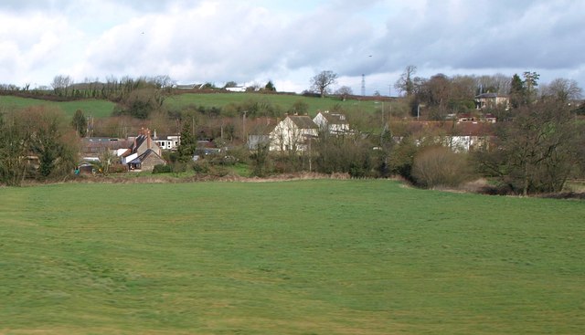
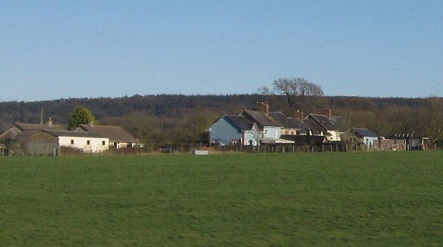
Bean Hill is a small hill located in Somerset, England. It is situated near the village of Chew Magna, approximately 10 miles south of Bristol. Despite its modest height, standing at just 280 feet above sea level, Bean Hill offers stunning panoramic views of the surrounding countryside.
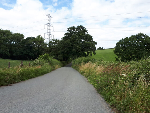
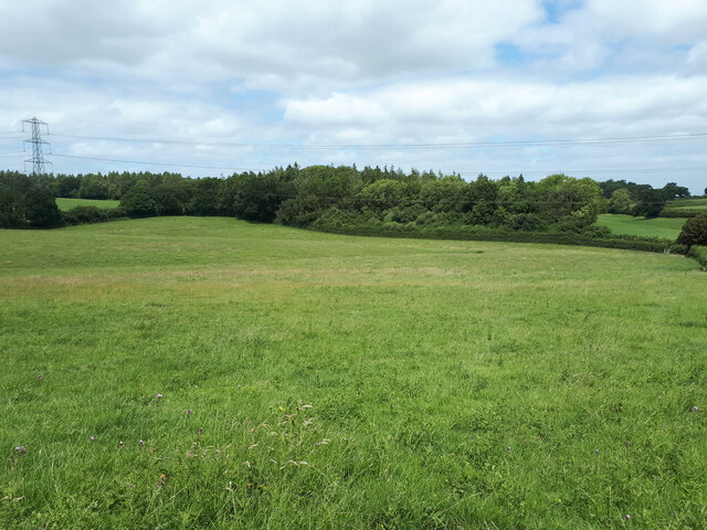
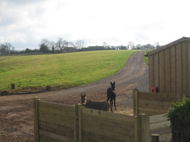
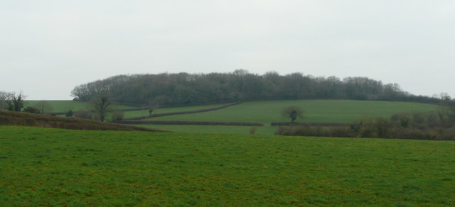
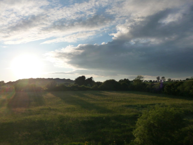
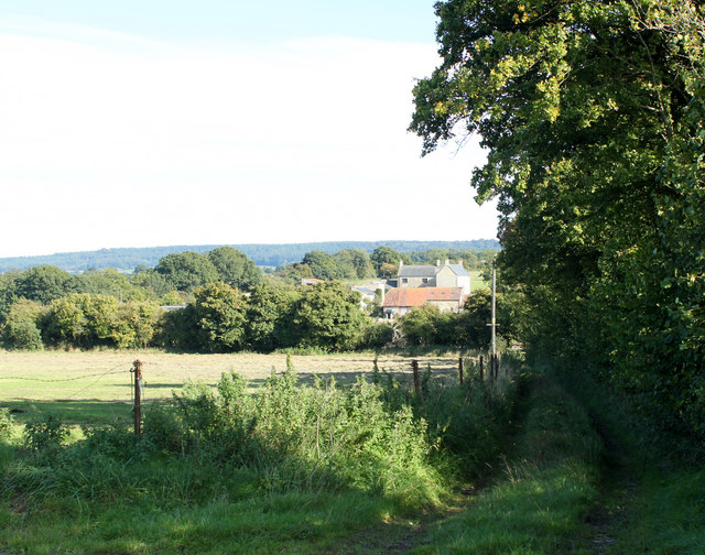
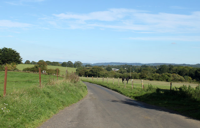
The hill is covered in lush green grass and dotted with a variety of trees, creating a picturesque landscape. It is a popular spot for outdoor enthusiasts, nature lovers, and walkers, who are drawn to its serene and tranquil atmosphere. The hill is also a haven for wildlife, with various species of birds, butterflies, and small mammals inhabiting the area.
At the top of Bean Hill, there is a small stone monument that marks its summit. It is believed to have been erected in the 19th century and serves as a point of interest for visitors. From this vantage point, one can enjoy sweeping vistas of the rolling hills, meandering rivers, and charming villages that make up the Somerset countryside.
Access to Bean Hill is relatively easy, with a footpath leading up to its summit. The walk is not particularly strenuous, making it suitable for people of all ages and fitness levels. On a clear day, visitors can see as far as the Bristol Channel and the Mendip Hills, adding to the allure of this scenic location.
Overall, Bean Hill is a hidden gem in the heart of Somerset, offering a peaceful respite from the hustle and bustle of city life. Whether you are seeking a leisurely stroll or simply want to take in the beauty of nature, Bean Hill provides a captivating experience for all who venture to its summit.
If you have any feedback on the listing, please let us know in the comments section below.
Bean Hill Images
Images are sourced within 2km of 51.171409/-2.3832996 or Grid Reference ST7341. Thanks to Geograph Open Source API. All images are credited.

Bean Hill is located at Grid Ref: ST7341 (Lat: 51.171409, Lng: -2.3832996)
Administrative County: Somerset
District: Mendip
Police Authority: Avon and Somerset
What 3 Words
///dreams.kicks.refills. Near Kilmington, Wiltshire
Nearby Locations
Related Wikis

Church of St Mary, Witham Friary
The Church of St Mary in Witham Friary, Somerset, England, dates from around 1200 and it has been designated as a Grade I listed building.The church was...
Witham Friary
Witham Friary is a small English village and civil parish located between the towns of Frome and Bruton in the county of Somerset. It is in the Cranborne...

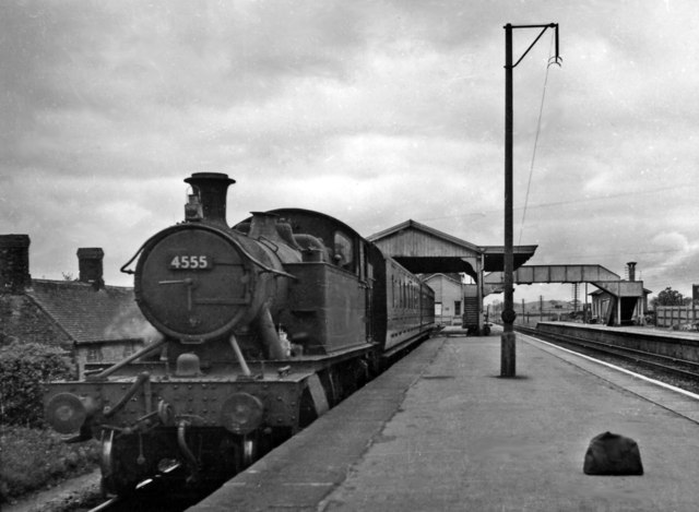
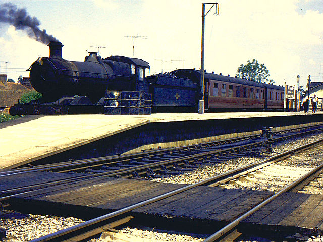
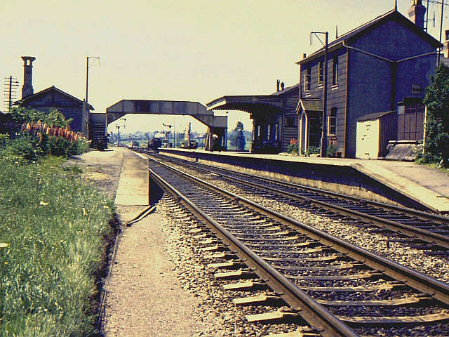
Witham (Somerset) railway station
This station in Somerset is closed. For the open station in East Anglia, see Witham railway station.Witham (Somerset) railway station was a station serving...

Witham Charterhouse
Witham Charterhouse, also Witham Priory, at Witham Friary, Somerset, was established in 1178/79, the earliest of the ten medieval Carthusian houses (charterhouses...

Postlebury Wood
Postlebury Wood (grid reference ST740430) is an 87 hectare biological Site of Special Scientific Interest south of Trudoxhill in Somerset, notified in...

Wanstrow
Wanstrow is a village and civil parish 6 miles (9.7 km) south west of Frome in Somerset, England. The parish includes the village of Cloford. == History... ==

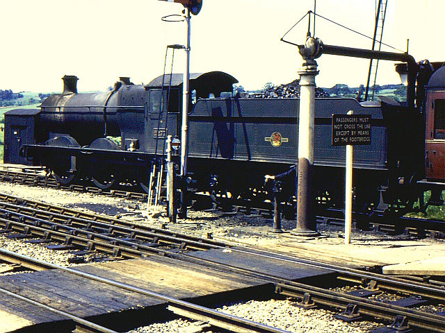
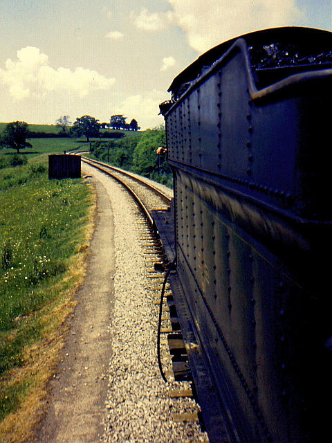
Wanstrow railway station
Wanstrow railway station was a small station on the East Somerset Railway serving the village of Wanstrow in Somerset. The East Somerset Railway opened...

Church of St Mary, Wanstrow
The Anglican Church Of St Mary in Wanstrow, within the English county of Somerset, was built in the 15th century. It is a Grade II* listed building.The...
Nearby Amenities
Located within 500m of 51.171409,-2.3832996Have you been to Bean Hill?
Leave your review of Bean Hill below (or comments, questions and feedback).