Green Hill

Hill, Mountain in Worcestershire Malvern Hills

England

Green Hill

Location of Suckley FBM <span class="nowrap"><a title="http://trigpointing.uk/trig/532" rel="nofollow ugc noopener" href="http://trigpointing.uk/trig/532">Link</a><img style="margin-left:2px;" alt="External link" title="External link - shift click to open in new window" src="https://s1.geograph.org.uk/img/external.png" width="10" height="10"/></span>
Location of Suckley FBM Credit: thejackrustles

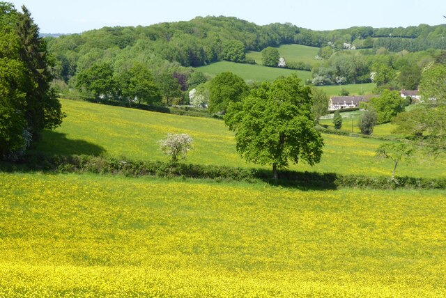
Green Hill is a prominent geographical feature located in Worcestershire, England. Rising to an elevation of approximately 310 meters (1017 feet) above sea level, it is classified as a hill rather than a mountain due to its relatively modest height. Situated in the picturesque Malvern Hills Area of Outstanding Natural Beauty, Green Hill offers breathtaking panoramic views of the surrounding countryside.

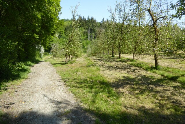
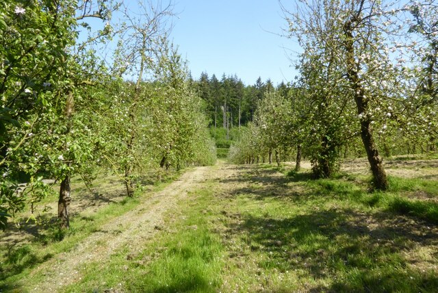
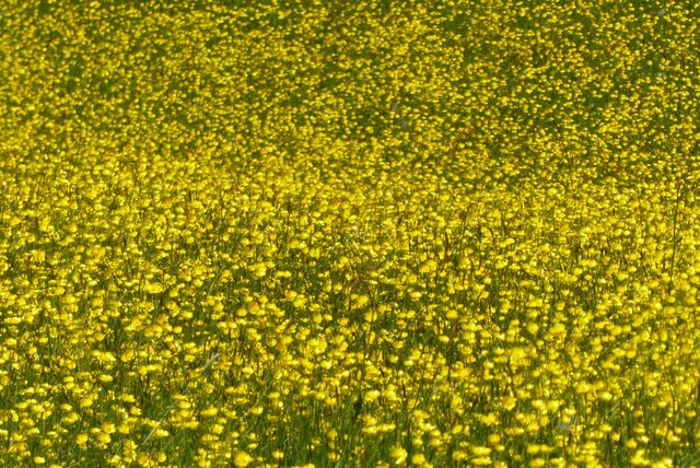
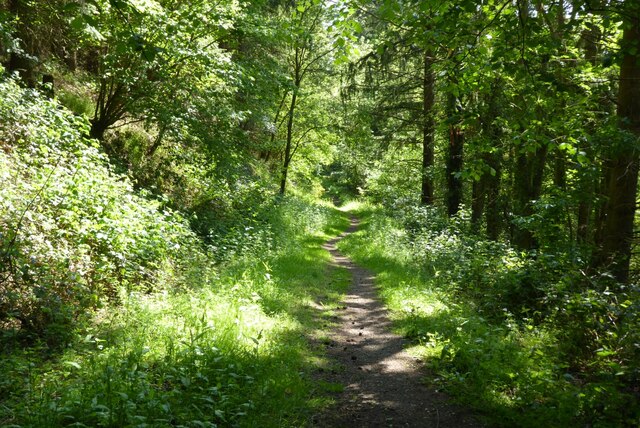
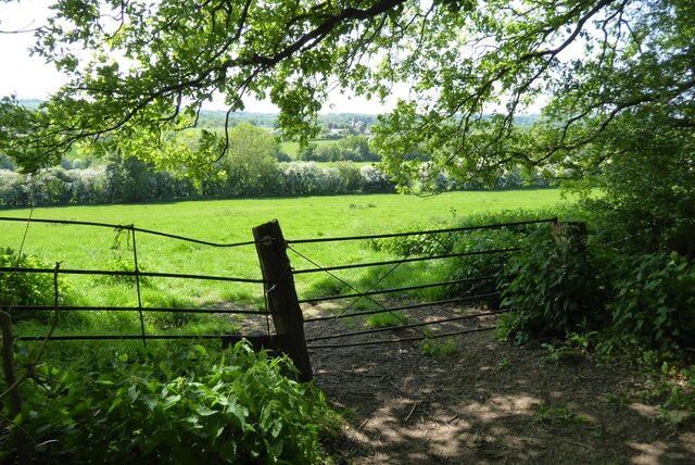
Covered in lush green vegetation, the hill is home to a variety of flora and fauna, adding to its natural beauty. The slopes are adorned with a patchwork of fields, hedgerows, and ancient woodlands, creating a diverse and vibrant ecosystem. The hill's gentle incline makes it a popular spot for hikers and nature enthusiasts, who can explore its numerous footpaths and trails.

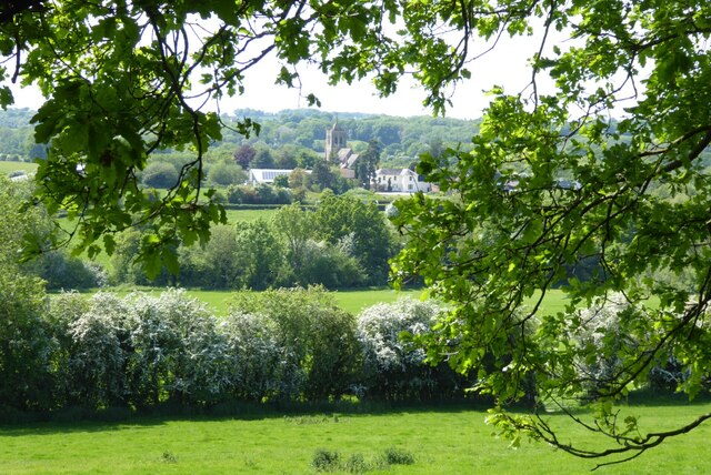
At the summit of Green Hill, there is a trig point that marks the highest point of the hill. This serves as a reference point for mapping and surveying purposes. The trig point is a popular destination for visitors, who can enjoy breathtaking vistas of Worcestershire and beyond. On a clear day, one can see the rolling Malvern Hills, the River Severn, and even the distant Cotswold Hills.

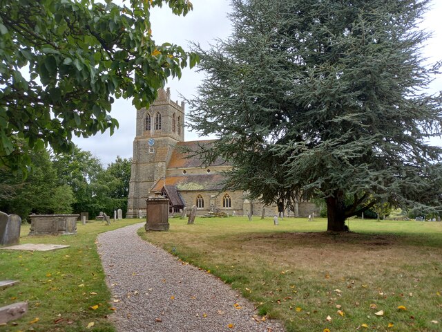
Green Hill is also steeped in history, with evidence of human activity dating back thousands of years. Archaeological finds in the vicinity include Iron Age hillforts and Roman remains. The hill's strategic location and commanding views would have made it an important vantage point in ancient times.

Overall, Green Hill in Worcestershire offers a picturesque and tranquil setting for nature lovers and history enthusiasts alike. Its scenic beauty, diverse wildlife, and rich heritage make it a cherished destination in the heart of England's countryside.

If you have any feedback on the listing, please let us know in the comments section below.
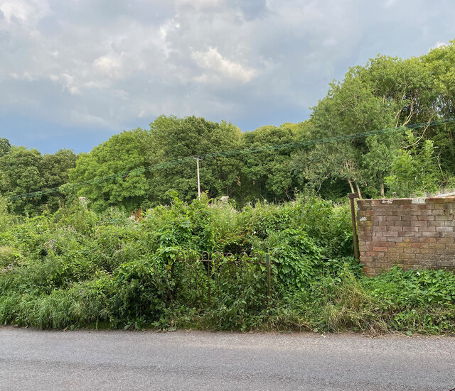
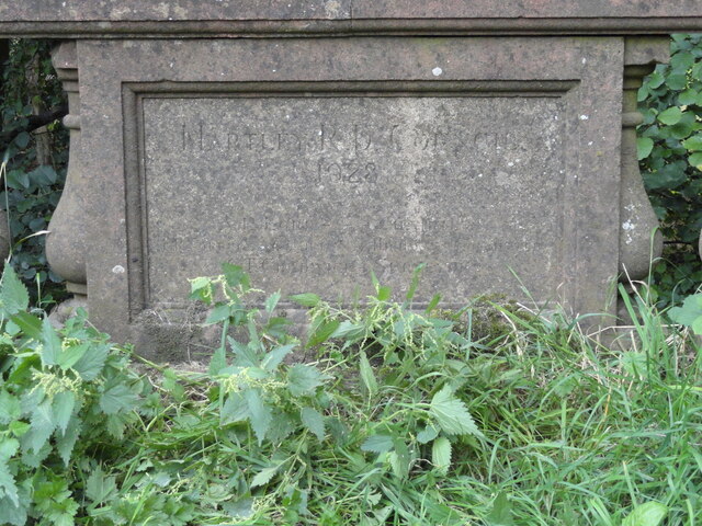
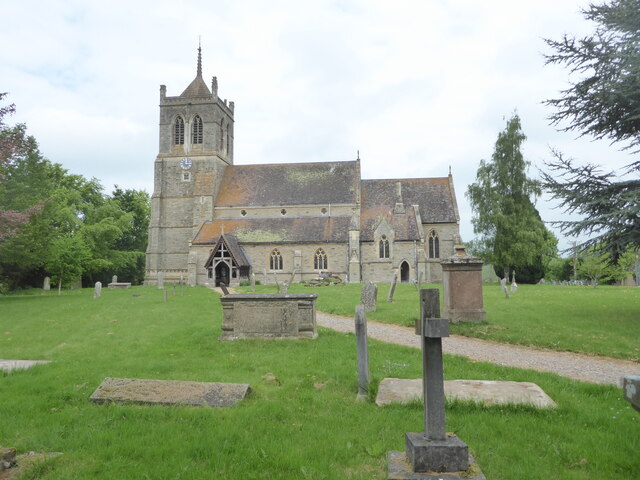
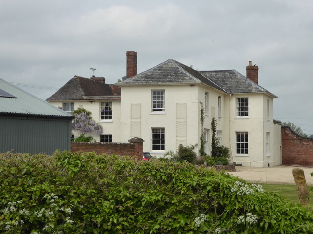
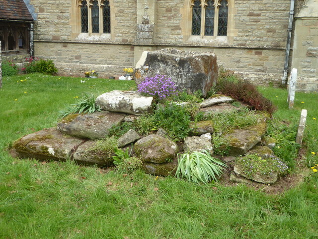
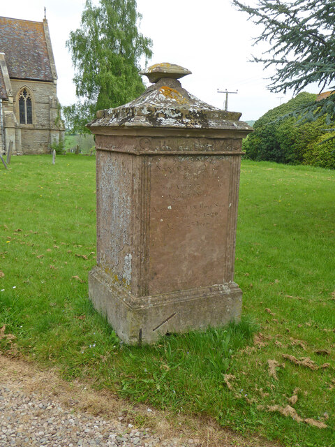
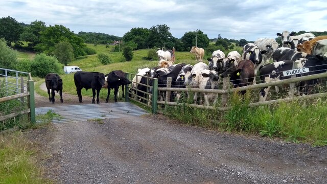
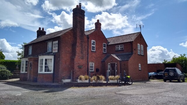
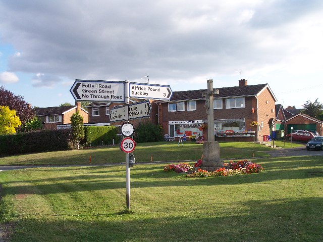
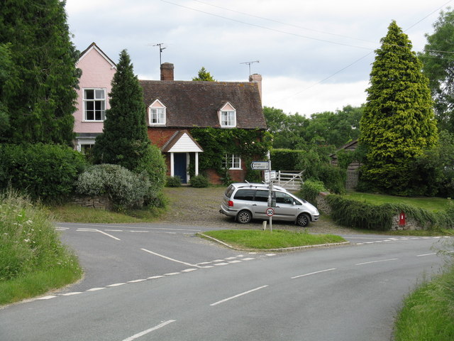
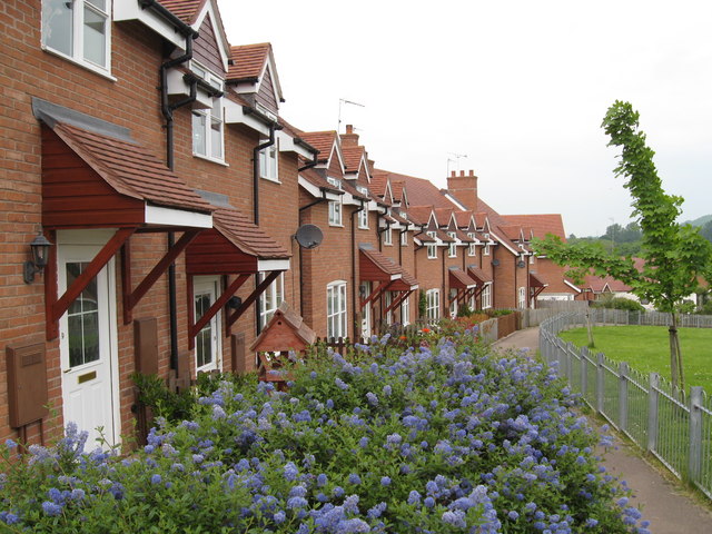
Green Hill Images

Images are sourced within 2km of 52.176191/-2.3964884 or Grid Reference SO7253. Thanks to Geograph Open Source API. All images are credited.

Location of Suckley FBM <span class="nowrap"><a title="http://trigpointing.uk/trig/532" rel="nofollow ugc noopener" href="http://trigpointing.uk/trig/532">Link</a><img style="margin-left:2px;" alt="External link" title="External link - shift click to open in new window" src="https://s1.geograph.org.uk/img/external.png" width="10" height="10"/></span>
Location of Suckley FBM
Old Bridge Marker on Mousehole Bridge, Suckley parish Bridge Marker inscribed in a recess in the east parapet of Mousehole Bridge on Leigh Brook, southwest of Alfrick Pound. Suckley parish. Inscribed MARTLEY R D COUNCIL / 1928 (remainder illegible).

Milestone Society National ID: WO_SUCK01br
Old Bridge Marker on Mousehole Bridge, Suckley parish
Bridge Marker inscribed in a recess in the east parapet of Mousehole Bridge on Leigh Brook, southwest of Alfrick Pound. Suckley parish. Inscribed MARTLEY R D COUNCIL / 1928 (remainder illegible). Milestone Society National ID: WO_SUCK01br
Old Bridge Marker on Mousehole Bridge, Suckley parish Bridge Marker inscribed in a recess in the west parapet of Mousehole Bridge on Leigh Brook, southwest of Alfrick Pound. Suckley parish. Inscribed MOUSEHOLE BRIDGE (remainder illegible).

Milestone Society National ID: WO_SUCK02br
Old Bridge Marker on Mousehole Bridge, Suckley parish
Bridge Marker inscribed in a recess in the west parapet of Mousehole Bridge on Leigh Brook, southwest of Alfrick Pound. Suckley parish. Inscribed MOUSEHOLE BRIDGE (remainder illegible). Milestone Society National ID: WO_SUCK02br
Church of St John the Baptist, Suckley Parish church. 1878/9 by Hopkins on site of former medieval church. Listed Grade II.
Church of St John the Baptist, Suckley
Parish church. 1878/9 by Hopkins on site of former medieval church. Listed Grade II.
The Old Rectory, Suckley Former rectory, now house. c1850 by A Perkins. Brick with stone dressings,
slate roof. Large Jacobeathan style house. Listed Grade II.
The Old Rectory, Suckley
Former rectory, now house. c1850 by A Perkins. Brick with stone dressings, slate roof. Large Jacobeathan style house. Listed Grade II.
Lower Court, Suckley Grade II Listed farmhouse. Early 19th century rebuilding of 16th century house on site. Part stucco, part painted brick with hipped roof.
Lower Court, Suckley
Grade II Listed farmhouse. Early 19th century rebuilding of 16th century house on site. Part stucco, part painted brick with hipped roof.
Base of preaching cross, Suckley Probably 14th  century and Listed Grade II.
Base of preaching cross, Suckley
Probably 14th century and Listed Grade II.
Monument to Walker Family, 35 yards south of the Church of St John the Baptist, Suckley Listed Grade II.
Monument to Walker Family, 35 yards south of the Church of St John the Baptist, Suckley
Listed Grade II.
The escape is off Thwarted cows look on, failed by the Escape Committee missing one small detail in their cunning plan.
The escape is off
Thwarted cows look on, failed by the Escape Committee missing one small detail in their cunning plan.
The Cross Keys on a summer Sunday
St John the Baptist Suckley I don't know if there was ever an earlier church on this site, but this building dates entirely from C19.
St John the Baptist Suckley
I don't know if there was ever an earlier church on this site, but this building dates entirely from C19.
The Worcestershire Way in the Suckley Hills The Worcestershire Way passing an apple orchard in blossom in the Suckley Hills.
The Worcestershire Way in the Suckley Hills
The Worcestershire Way passing an apple orchard in blossom in the Suckley Hills.
Apple blossom An orchard of apple trees in blossom in the Suckley Hills.
Apple blossom
An orchard of apple trees in blossom in the Suckley Hills.
A field of buttercups A field of buttercups viewed from the Worcestershire Way in the Suckley Hills.
A field of buttercups
A field of buttercups viewed from the Worcestershire Way in the Suckley Hills.
Buttercups in flower A profusion of buttercup flowers in a field in the Suckley Hills.
Buttercups in flower
A profusion of buttercup flowers in a field in the Suckley Hills.
Woodland path Woodland path in springtime in the Suckley Hills.
Woodland path
Woodland path in springtime in the Suckley Hills.
Bridleway emerging from woodland Bridleway to Suckley church emerging from the woodland on the Suckley Hills.
Bridleway emerging from woodland
Bridleway to Suckley church emerging from the woodland on the Suckley Hills.
View to Suckley church View to St. John the Baptist church, Suckley from the bridleway approaching the church from the east.  Hawthorn bushes are in blossom in the middle distance.
View to Suckley church
View to St. John the Baptist church, Suckley from the bridleway approaching the church from the east. Hawthorn bushes are in blossom in the middle distance.
Show me another place!

Green Hill is located at Grid Ref: SO7253 (Lat: 52.176191, Lng: -2.3964884)

Administrative County: Worcestershire

District: Malvern Hills

Police Authority: West Mercia

What 3 Words

///sensual.bookshop.torches. Near Evesbatch, Herefordshire

Nearby Locations

Almshouse Wood Green Hill

Related Wikis

Suckley railway station

Suckley railway station was a station in Suckley, Worcestershire, England. The station was opened on 1 March 1878 and closed on 7 September 1964. ��2...

Alfrick

Alfrick is a village and civil parish in the Malvern Hills district of Worcestershire, England, about seven miles west of Worcester. == Amenities == The...

Alfrick Pound

Alfrick Pound is a small village in the county of Worcestershire, England, in the United Kingdom. == Location == Alfrick Pound village is located on the...

Suckley

Suckley is a village and civil parish in the Malvern Hills District in the county of Worcestershire, England, close to the border with Herefordshire....

Knightwick railway station

Knightwick railway station was a station in Knightwick, Worcestershire, England. The station was opened on 2 May 1874 and closed on 7 September 1964....

Yearsett railway station

Yearsett railway station was a station to the southeast of Brockhampton, Herefordshire, England. The station was opened on 2 May 1874 as a temporary terminus...

Osebury Rock

Osebury Rock (also known as Oseberrow or Rosebury) is a cliff on the River Teme near Lulsley in Worcestershire, England where fragmentary rocks of the...

Knightwick

Knightwick is a small village and civil parish (with Doddenham) in the Malvern Hills district in the county of Worcestershire, England. == History... ==

Nearby Amenities

Located within 500m of 52.176191,-2.3964884
Power: tower
Lat/Long: 52.1758148/-2.4026263
Power: tower
Lat/Long: 52.1780899/-2.4009481
Parking
Capacity: 5
Fee: no
Lat/Long: 52.1761699/-2.3893907
Greenhill Suckley
Power: pole
Transformer: distribution
Voltage Primary: 11000
Lat/Long: 52.1744457/-2.3998113
Power: pole
Lat/Long: 52.1740699/-2.399696
Power: pole
Lat/Long: 52.1737039/-2.3995806
Power: pole
Lat/Long: 52.1728452/-2.3992869
Power: pole
Lat/Long: 52.1723846/-2.3991448
Power: pole
Lat/Long: 52.172179/-2.3945126
Power: pole
Lat/Long: 52.1727218/-2.3942336
Power: pole
Lat/Long: 52.1734251/-2.3938541
Power: pole
Lat/Long: 52.1740353/-2.3934639
Power: pole
Lat/Long: 52.174662/-2.3930736
Power: pole
Lat/Long: 52.1751851/-2.3916158
Power: pole
Lat/Long: 52.1750691/-2.3895049
Power: pole
Lat/Long: 52.1751752/-2.3920584
Power: pole
Lat/Long: 52.1752015/-2.3909372
Bastenhall Alfrick
Power: pole
Transformer: distribution
Voltage Primary: 11000
Lat/Long: 52.1751621/-2.3927169
Power: pole
Lat/Long: 52.1752147/-2.3902157
Crews Hill
Power: pole
Transformer: distribution
Voltage Primary: 11000
Lat/Long: 52.1764812/-2.3892702
Power: pole
Lat/Long: 52.1758167/-2.389348
The data included in this document is from www.openstreetmap.org. The data is made available under ODbL.

Have you been to Green Hill?

Leave your review of Green Hill below (or comments, questions and feedback).