Almshouse Wood

Wood, Forest in Worcestershire Malvern Hills

England

Almshouse Wood

Location of Suckley FBM <span class="nowrap"><a title="http://trigpointing.uk/trig/532" rel="nofollow ugc noopener" href="http://trigpointing.uk/trig/532">Link</a><img style="margin-left:2px;" alt="External link" title="External link - shift click to open in new window" src="https://s1.geograph.org.uk/img/external.png" width="10" height="10"/></span>
Location of Suckley FBM Credit: thejackrustles

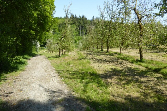
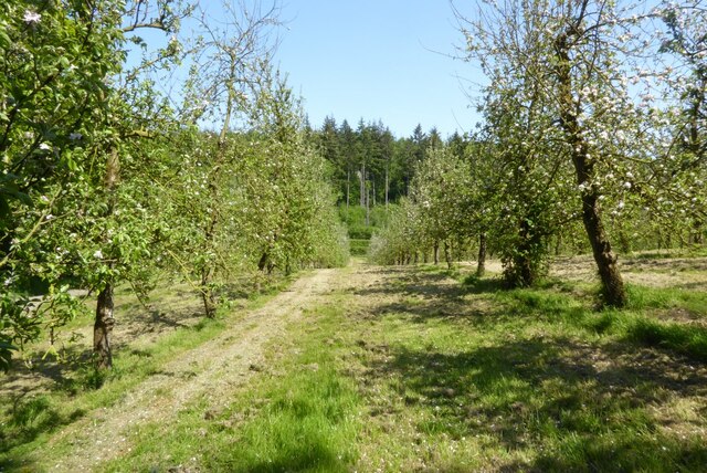
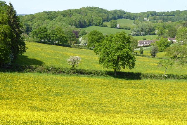
Almshouse Wood, located in Worcestershire, England, is a charming forest area renowned for its natural beauty and tranquil atmosphere. Covering an area of approximately 100 acres, it is nestled within the scenic countryside, offering visitors a serene and picturesque escape from the hustle and bustle of city life.

The wood is predominantly composed of deciduous trees, including oak, beech, and ash, which provide a stunning display of colors throughout the changing seasons. It is also home to a variety of wildlife, such as deer, rabbits, and numerous bird species, making it a popular destination for nature enthusiasts and birdwatchers.

Almshouse Wood features well-marked walking trails that wind through the forest, allowing visitors to explore its hidden gems at their own pace. The pathways are well-maintained and accessible to people of all ages and abilities, making it an ideal destination for families and outdoor enthusiasts alike.

Within the wood, there are several picnic areas where visitors can relax and enjoy a meal surrounded by nature's beauty. Additionally, there is a small visitor center that provides information about the wood's history, flora, and fauna, as well as guided tours for those seeking a more in-depth experience.

Almshouse Wood holds a significant historical value as well, with remnants of an ancient almshouse that once stood on the site. These historical elements add a touch of intrigue to the woodland experience, allowing visitors to connect with the past while immersing themselves in the present natural wonders.

Overall, Almshouse Wood in Worcestershire truly offers a delightful retreat for those seeking solace in nature, providing a haven of beauty, tranquility, and historical significance.

If you have any feedback on the listing, please let us know in the comments section below.

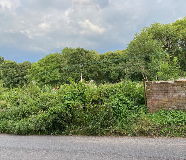
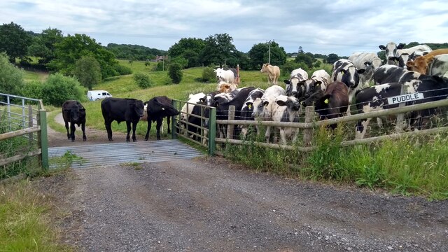
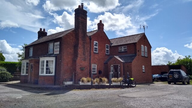
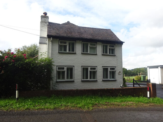
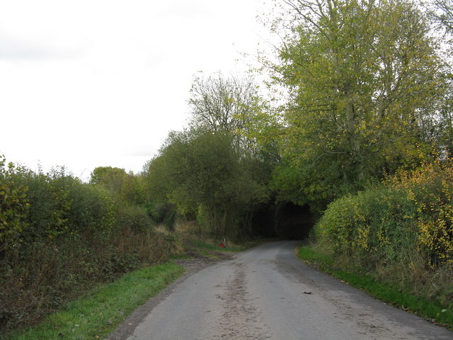
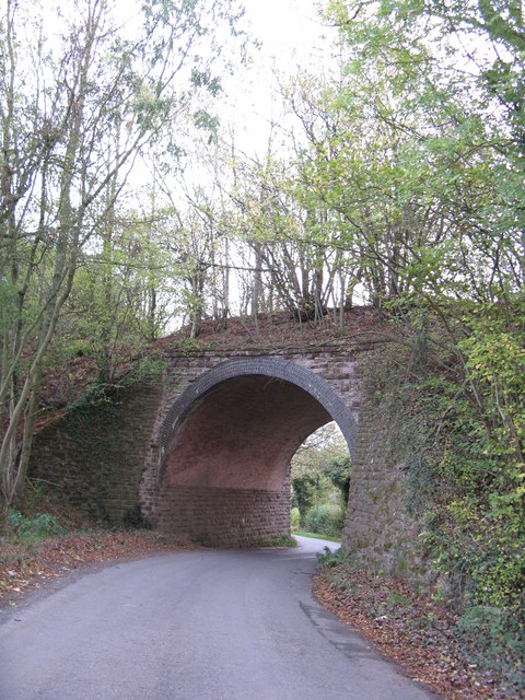
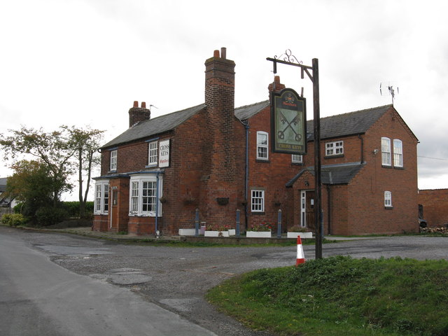
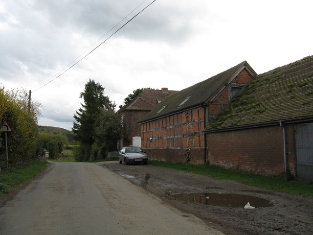
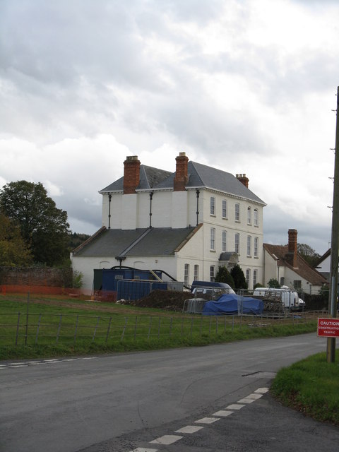
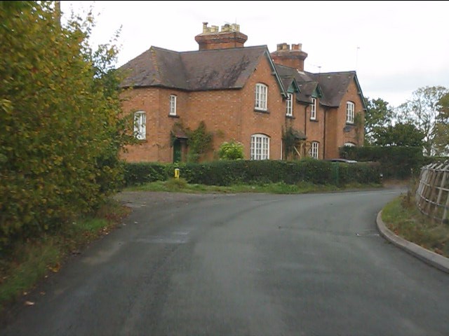
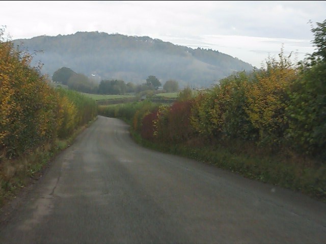
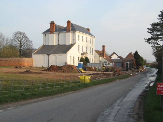
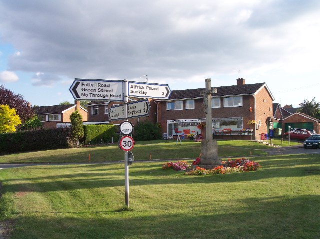
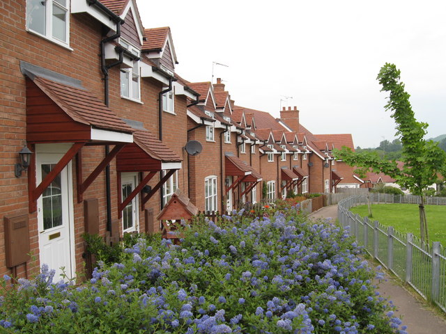
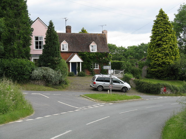
Almshouse Wood Images

Images are sourced within 2km of 52.181529/-2.4049456 or Grid Reference SO7253. Thanks to Geograph Open Source API. All images are credited.

Location of Suckley FBM <span class="nowrap"><a title="http://trigpointing.uk/trig/532" rel="nofollow ugc noopener" href="http://trigpointing.uk/trig/532">Link</a><img style="margin-left:2px;" alt="External link" title="External link - shift click to open in new window" src="https://s1.geograph.org.uk/img/external.png" width="10" height="10"/></span>
Location of Suckley FBM
The Old Rectory, Suckley Former rectory, now house. c1850 by A Perkins. Brick with stone dressings,
slate roof. Large Jacobeathan style house. Listed Grade II.
The Old Rectory, Suckley
Former rectory, now house. c1850 by A Perkins. Brick with stone dressings, slate roof. Large Jacobeathan style house. Listed Grade II.
The escape is off Thwarted cows look on, failed by the Escape Committee missing one small detail in their cunning plan.
The escape is off
Thwarted cows look on, failed by the Escape Committee missing one small detail in their cunning plan.
The Cross Keys on a summer Sunday
Toll House, Linley Green "Toll Cottage". Former Toll House erected by the Bromyard Turnpike Trust in the 19ᵗʰ C. On an u/c road in Lower Yearsett part of Linley Green in Linton parish.

Milestone Society National ID: HF.LIN
Toll House, Linley Green
"Toll Cottage". Former Toll House erected by the Bromyard Turnpike Trust in the 19ᵗʰ C. On an u/c road in Lower Yearsett part of Linley Green in Linton parish. Milestone Society National ID: HF.LIN
The Worcestershire Way in the Suckley Hills The Worcestershire Way passing an apple orchard in blossom in the Suckley Hills.
The Worcestershire Way in the Suckley Hills
The Worcestershire Way passing an apple orchard in blossom in the Suckley Hills.
Apple blossom An orchard of apple trees in blossom in the Suckley Hills.
Apple blossom
An orchard of apple trees in blossom in the Suckley Hills.
A field of buttercups A field of buttercups viewed from the Worcestershire Way in the Suckley Hills.
A field of buttercups
A field of buttercups viewed from the Worcestershire Way in the Suckley Hills.
Buttercups in flower A profusion of buttercup flowers in a field in the Suckley Hills.
Buttercups in flower
A profusion of buttercup flowers in a field in the Suckley Hills.
Garden at the Fox & Hounds Inn Excellent country pub with a good-sized garden and children's play area for the summer months.
Garden at the Fox & Hounds Inn
Excellent country pub with a good-sized garden and children's play area for the summer months.
Lane at Yearsett The track rising on the left gives access to the old railway line, now used as a farm track, at the site of the temporary station of Yearsett, in use 1874-77.
Lane at Yearsett
The track rising on the left gives access to the old railway line, now used as a farm track, at the site of the temporary station of Yearsett, in use 1874-77.
Worcester & Bromyard railway bridge, Yearsett One of several expensive structures on the line.
Worcester & Bromyard railway bridge, Yearsett
One of several expensive structures on the line.
Cross Keys Inn, Suckley Knowl One of two pubs in Suckley, both of which are at the extremities of the parish.
Cross Keys Inn, Suckley Knowl
One of two pubs in Suckley, both of which are at the extremities of the parish.
Lower House Farm
Lower House Farm
The White House
The White House
Houses near The Grove Farm
Heading for Ankerdine Hill The lane from Suckley approaching Knightwick.
Heading for Ankerdine Hill
The lane from Suckley approaching Knightwick.
More work at The White House Although internal work to restore The White House finished over 2 years ago, external work continues. A new iron railing boundary fence and matching gates have been installed alongside Knightwick Road.
More work at The White House
Although internal work to restore The White House finished over 2 years ago, external work continues. A new iron railing boundary fence and matching gates have been installed alongside Knightwick Road.
Show me another place!

Almshouse Wood is located at Grid Ref: SO7253 (Lat: 52.181529, Lng: -2.4049456)

Administrative County: Worcestershire

District: Malvern Hills

Police Authority: West Mercia

What 3 Words

///chat.exams.rewrites. Near Evesbatch, Herefordshire

Nearby Locations

Almshouse Wood Green Hill

Related Wikis

Suckley railway station

Suckley railway station was a station in Suckley, Worcestershire, England. The station was opened on 1 March 1878 and closed on 7 September 1964. ��2...

Yearsett railway station

Yearsett railway station was a station to the southeast of Brockhampton, Herefordshire, England. The station was opened on 2 May 1874 as a temporary terminus...

Knightwick railway station

Knightwick railway station was a station in Knightwick, Worcestershire, England. The station was opened on 2 May 1874 and closed on 7 September 1964....

Alfrick

Alfrick is a village and civil parish in the Malvern Hills district of Worcestershire, England, about seven miles west of Worcester. == Amenities == The...

Knightwick

Knightwick is a small village and civil parish (with Doddenham) in the Malvern Hills district in the county of Worcestershire, England. == History... ==

Osebury Rock

Osebury Rock (also known as Oseberrow or Rosebury) is a cliff on the River Teme near Lulsley in Worcestershire, England where fragmentary rocks of the...

Suckley

Suckley is a village and civil parish in the Malvern Hills District in the county of Worcestershire, England, close to the border with Herefordshire....

Alfrick Pound

Alfrick Pound is a small village in the county of Worcestershire, England, in the United Kingdom. == Location == Alfrick Pound village is located on the...

Nearby Amenities

Located within 500m of 52.181529,-2.4049456
Suckley
Disused Railway: station
Railway: site
Lat/Long: 52.1833252/-2.4097532
Post Box
Collection Plate: CP5
Collection Times: Mo-Fr 16:30; Sa 07:45
Post Box Mounting: brick_pillar
Post Box Type: wall
Ref: WR6 111
Royal Cypher: VR
Royal Cypher Wikidata: Q33102356
Lat/Long: 52.1839163/-2.410905
Power: tower
Lat/Long: 52.1780899/-2.4009481
Power: tower
Lat/Long: 52.1804567/-2.3992261
Power: pole
Lat/Long: 52.1793954/-2.404083
Power: pole
Lat/Long: 52.1804941/-2.4023241
Power: pole
Lat/Long: 52.1815862/-2.4006171
Power: pole
Lat/Long: 52.1826633/-2.3988648
Power: pole
Lat/Long: 52.1776454/-2.406829
Power: pole
Lat/Long: 52.1784238/-2.4056263
Barrier: stile
Lat/Long: 52.1784444/-2.4098547
Power: pole
Lat/Long: 52.1787639/-2.4107128
Fixme: continue
Lat/Long: 52.1790416/-2.409393
Power: pole
Lat/Long: 52.1792447/-2.4106507
Power: pole
Lat/Long: 52.1800044/-2.4105654
Power: pole
Lat/Long: 52.1808174/-2.4104425
Power: pole
Lat/Long: 52.1814072/-2.410322
Power: pole
Lat/Long: 52.1818771/-2.410252
Suckley Station
Power: pole
Transformer: distribution
Voltage Primary: 11000
Lat/Long: 52.1826962/-2.4100375
Power: pole
Lat/Long: 52.1832562/-2.4099487
Power: pole
Lat/Long: 52.1836689/-2.410205
Power: pole
Lat/Long: 52.1845283/-2.410132
Power: pole
Lat/Long: 52.1850913/-2.4094094
Power: pole
Lat/Long: 52.1851453/-2.4089275
Power: pole
Lat/Long: 52.185208/-2.4082512
Old House Farm Knightwick
Power: pole
Transformer: distribution
Voltage Primary: 11000
Lat/Long: 52.1853073/-2.4076053
Power: pole
Lat/Long: 52.1855239/-2.4062123
Power: pole
Lat/Long: 52.185645/-2.4054763
Highfields Farm
Power: pole
Transformer: distribution
Voltage Primary: 11000
Lat/Long: 52.1846424/-2.4024779
Power: pole
Lat/Long: 52.1847873/-2.4029274
Power: pole
Lat/Long: 52.1851197/-2.4038948
The data included in this document is from www.openstreetmap.org. The data is made available under ODbL.

Have you been to Almshouse Wood?

Leave your review of Almshouse Wood below (or comments, questions and feedback).