Hill of Garvock

Hill, Mountain in Kincardineshire

Scotland

Hill of Garvock

Farmland west of Laurencekirk Looking across the trees along the Kirk Burn towards the newly-constructed windfarm on the Hill of Garvock.
Farmland west of Laurencekirk Credit: Mike Pennington

The Hill of Garvock is a prominent landform located in Kincardineshire, Scotland. Rising to an elevation of approximately 226 meters (741 feet), it is considered a hill rather than a mountain. The hill is situated about 6 kilometers (3.7 miles) to the southeast of the town of Laurencekirk.

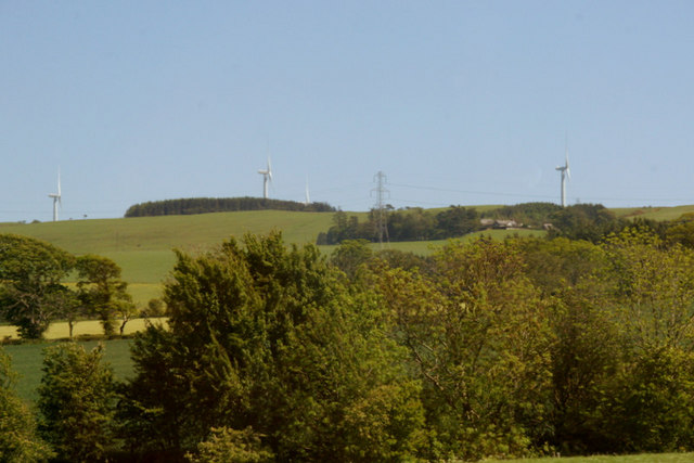
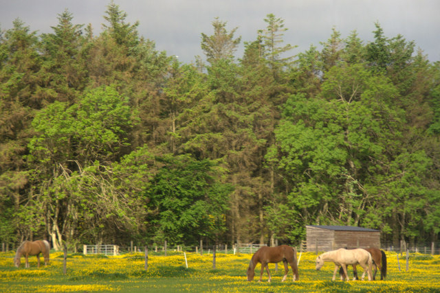
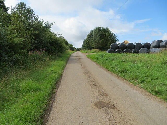
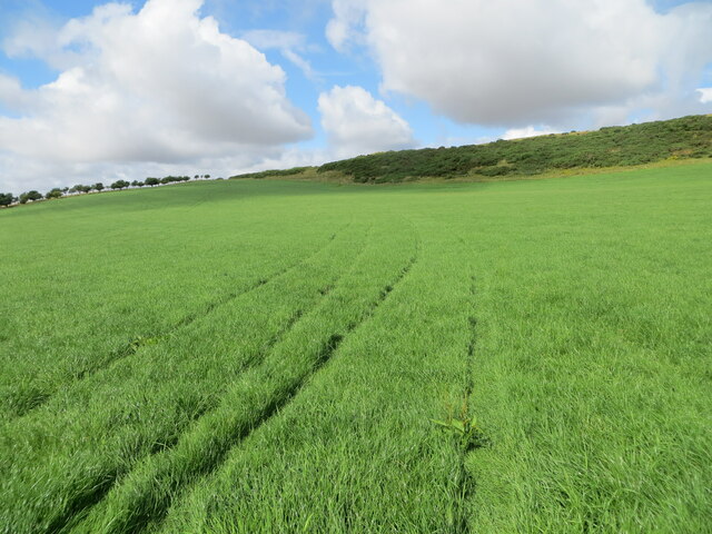
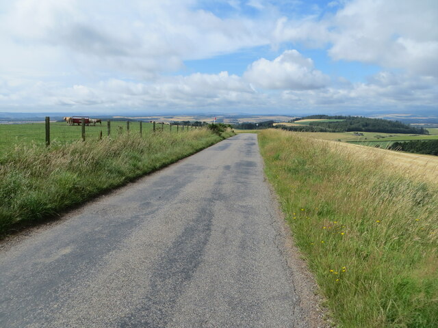
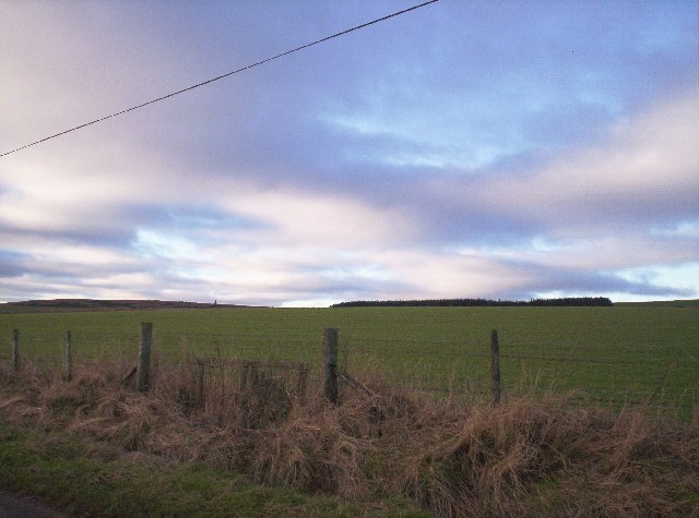
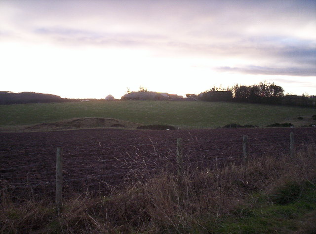
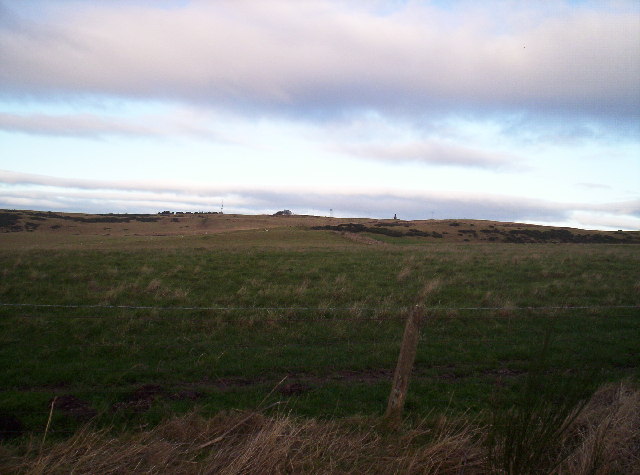
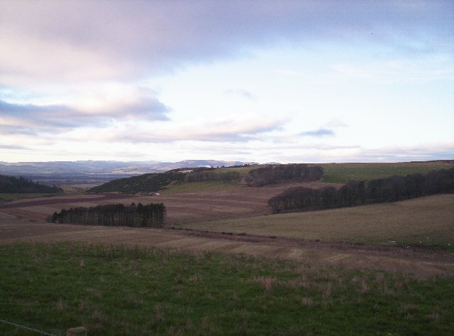
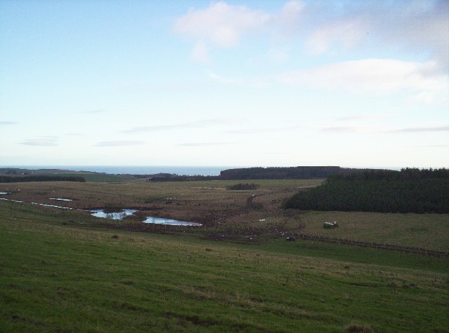
The Hill of Garvock is notable for its picturesque landscape and panoramic views of the surrounding countryside. It is primarily composed of grassy slopes with scattered patches of heather and gorse. The hill's summit offers a vantage point from which visitors can enjoy stunning vistas of the Mearns region, stretching from the rolling hills to the North Sea coastline.

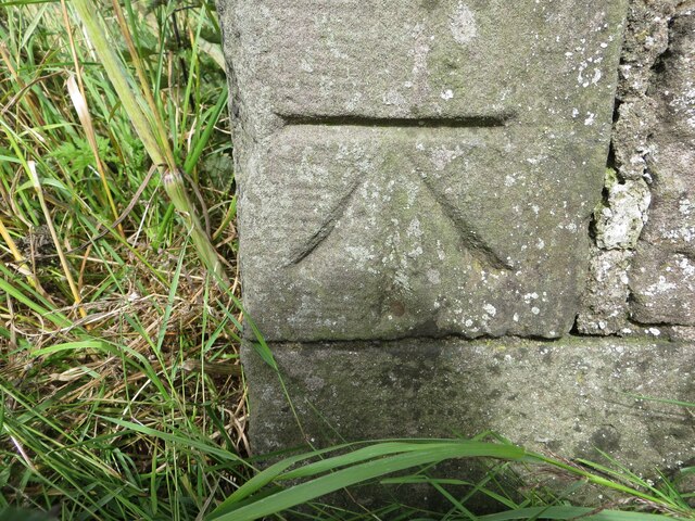
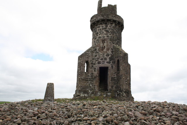
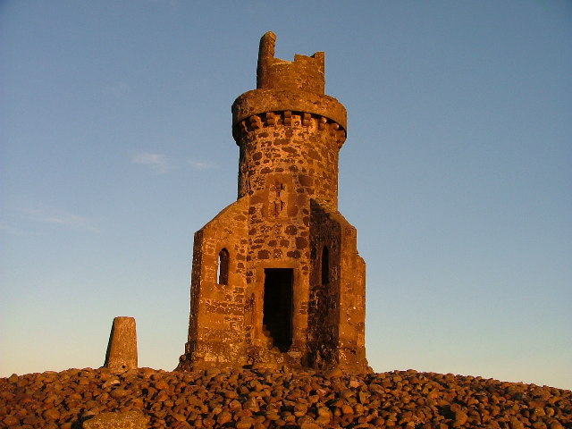
The area around the Hill of Garvock is rich in history and archaeological sites. It is believed that the hill was once the site of an ancient hill fort, although few visible remains are present today. The hill also features a number of burial cairns, which serve as reminders of the area's prehistoric past.

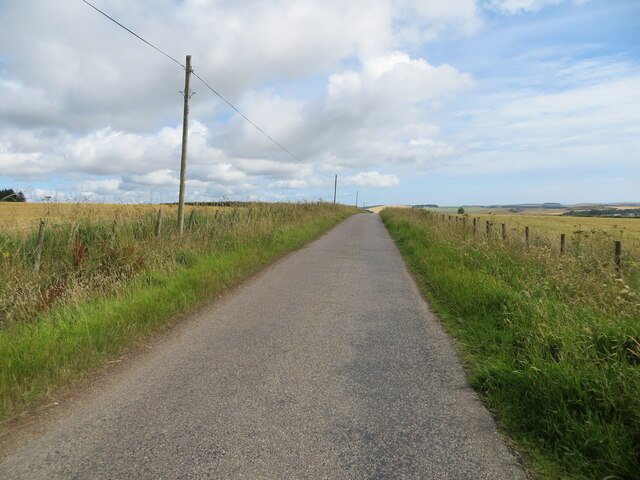
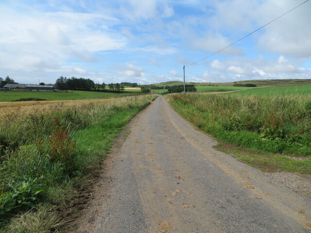
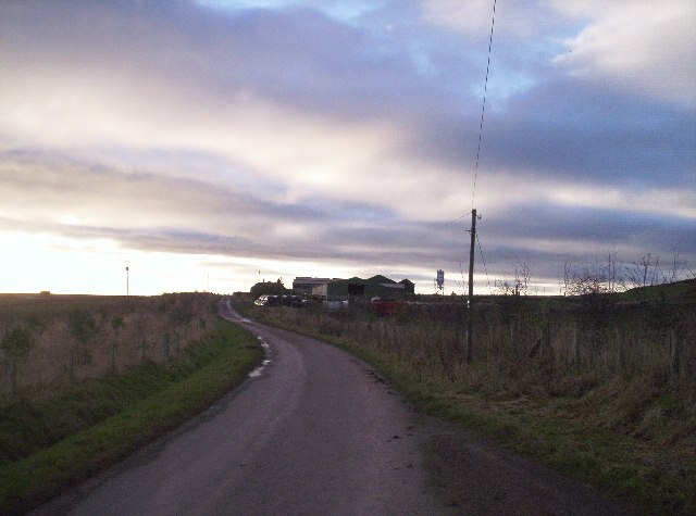
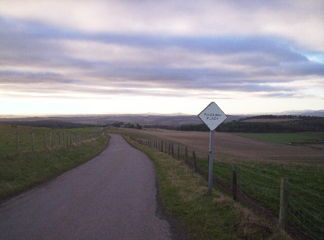
For outdoor enthusiasts, the Hill of Garvock provides opportunities for hiking and nature exploration. There are several well-marked trails that traverse the hill, offering varying levels of difficulty for walkers of all abilities. The hill is home to a diverse range of wildlife, including birds, small mammals, and occasional sightings of deer.

Overall, the Hill of Garvock is a captivating natural landmark that showcases the beauty and history of Kincardineshire. Its accessibility and scenic qualities make it a popular destination for locals and tourists alike.

If you have any feedback on the listing, please let us know in the comments section below.

Hill of Garvock Images

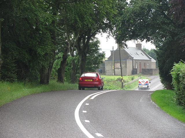
Images are sourced within 2km of 56.813381/-2.4493594 or Grid Reference NO7269. Thanks to Geograph Open Source API. All images are credited.

Farmland west of Laurencekirk Looking across the trees along the Kirk Burn towards the newly-constructed windfarm on the Hill of Garvock.
Farmland west of Laurencekirk
Looking across the trees along the Kirk Burn towards the newly-constructed windfarm on the Hill of Garvock.
Horses in a field on the outskirts of Laurencekirk
Minor road between East Bradieston and the B9120 Looking north-eastward.
Minor road between East Bradieston and the B9120
Looking north-eastward.
Minor road approaching East Bradieston Looking south-westward.
Minor road approaching East Bradieston
Looking south-westward.
Minor road approaching West Bradieston Looking south-westward.
Minor road approaching West Bradieston
Looking south-westward.
Grassland on the flank of Hill of Garvock Looking north-westward.
Grassland on the flank of Hill of Garvock
Looking north-westward.
Minor road between West Bradieston and Hospital Shields Looking south-westward.
Minor road between West Bradieston and Hospital Shields
Looking south-westward.
Ordnance Survey Cut Mark This fine example of a cut mark can be found on the wall of a farm building near Bradieston.
The recorded details give a height of 190.5762 metres above sea level.
For more detail see : <span class="nowrap"><a title="https://www.bench-marks.org.uk/bm162699" rel="nofollow ugc noopener" href="https://www.bench-marks.org.uk/bm162699">Link</a><img style="margin-left:2px;" alt="External link" title="External link - shift click to open in new window" src="https://s1.geograph.org.uk/img/external.png" width="10" height="10"/></span>
Ordnance Survey Cut Mark
This fine example of a cut mark can be found on the wall of a farm building near Bradieston. The recorded details give a height of 190.5762 metres above sea level. For more detail see : LinkExternal link
A937 The road between Laurencekirk and Montrose.
A937
The road between Laurencekirk and Montrose.
Tower of Johnston
Tower of Johnston
The Tower of Johnston Tower of Johnston up on the beautiful Garvock which a group of fools want to ruin with wind turbines.
The Tower of Johnston
Tower of Johnston up on the beautiful Garvock which a group of fools want to ruin with wind turbines.
Farmland and plantation southeast of the Hill of Garvock
East Bradieston Farm and Fields
Looking up Hill of Garvock You can see the Tower of Johnston.
Looking up Hill of Garvock
You can see the Tower of Johnston.
The Shoulder of Hill of Garvock with Craig of Garvock
Lochans and Brandshill Woods You can see the men planting trees and clearing the burn as this area has seen a lot of activity recently.
Lochans and Brandshill Woods
You can see the men planting trees and clearing the burn as this area has seen a lot of activity recently.
Road with Passing Places
Show me another place!

Hill of Garvock is located at Grid Ref: NO7269 (Lat: 56.813381, Lng: -2.4493594)

Unitary Authority: Aberdeenshire

Police Authority: North East

What 3 Words

///shortens.serves.mouths. Near Laurencekirk, Aberdeenshire

Related Wikis

Laurencekirk

Laurencekirk (, Scots: Lowrenkirk, Scottish Gaelic: Eaglais Labhrainn), locally known as Lournie, is a small town in the historic county of Kincardineshire...

Laurencekirk railway station

Laurencekirk railway station is a railway station serving the communities of Laurencekirk and The Mearns in Aberdeenshire, Scotland. The station was reopened...

Marykirk railway station

Marykirk railway station served the village of Marykirk, Kincardineshire, Scotland from 1849 to 1956 on the Aberdeen Railway. == History == The station...

Lauriston Castle, Aberdeenshire

Lauriston Castle stands on a clifftop site near the Aberdeenshire village of St Cyrus and just over a mile inland from the North Sea coast of Scotland...

Nearby Amenities

Located within 500m of 56.813381,-2.4493594
Design: h-frame
Power: tower
Lat/Long: 56.8153609/-2.4562435
Design: delta
Power: tower
Lat/Long: 56.8160608/-2.4544039
Hill of Garvock
Corbett: no
Ele: 277
Graham: no
Marilyn: yes
Munro: no
Natural: peak
Prominence: 219
Lat/Long: 56.8134205/-2.4489569
Power: pole
Lat/Long: 56.8107168/-2.4552213
Power: pole
Lat/Long: 56.8112632/-2.4543917
Power: pole
Lat/Long: 56.8116529/-2.4535866
Power: pole
Lat/Long: 56.8120096/-2.4527612
Power: pole
Lat/Long: 56.8092149/-2.4476512
Power: pole
Lat/Long: 56.8101/-2.4482634
Power: pole
Lat/Long: 56.8111551/-2.4489909
Power: pole
Lat/Long: 56.8122066/-2.4497095
Power: pole
Lat/Long: 56.8130601/-2.4500422
Power: pole
Lat/Long: 56.8138844/-2.4503594
Power: pole
Lat/Long: 56.8147682/-2.4506877
Power: pole
Lat/Long: 56.8157321/-2.4510692
Power: pole
Lat/Long: 56.8166171/-2.4513952
Man Made: mast
Tower Type: communication
Lat/Long: 56.8126932/-2.4511246
Man Made: mast
Tower Type: communication
Lat/Long: 56.8121966/-2.4523533
Man Made: mast
Lat/Long: 56.8112842/-2.4537539
The data included in this document is from www.openstreetmap.org. The data is made available under ODbL.

Have you been to Hill of Garvock?

Leave your review of Hill of Garvock below (or comments, questions and feedback).