Park Hill
Hill, Mountain in Westmorland Eden
England
Park Hill
Park Hill is a picturesque hill located in the Westmorland district of Cumbria, England. Standing at an elevation of approximately 1,000 feet, it offers breathtaking views of the surrounding landscape and is a popular destination for hikers and nature enthusiasts.
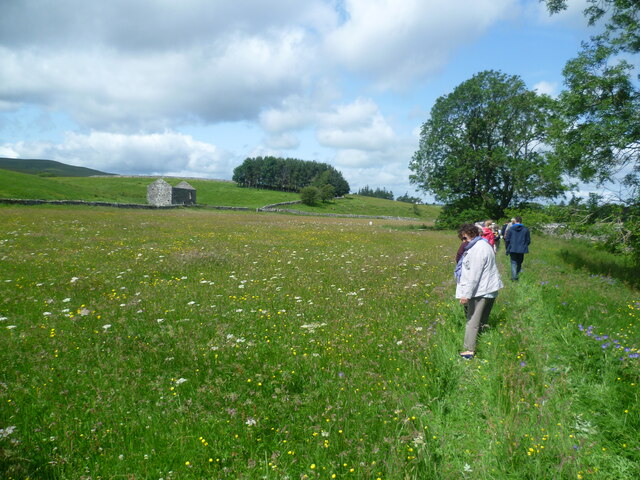
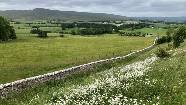
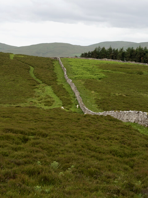
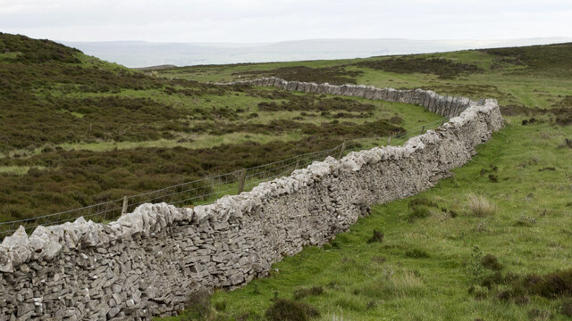
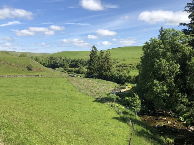
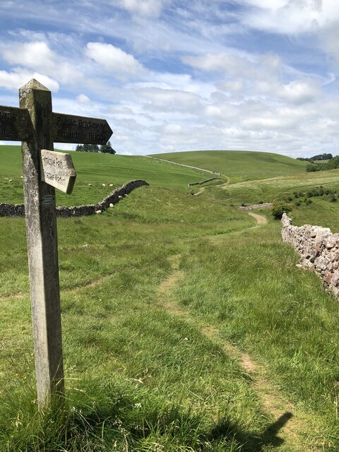
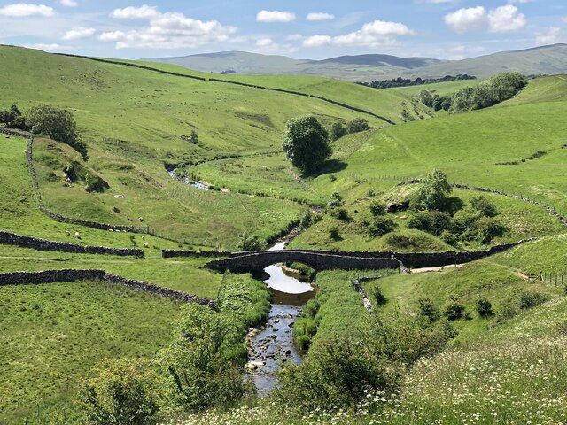
The hill is characterized by its gentle slopes and undulating terrain, covered with lush green grass and scattered with native wildflowers. It is part of the wider Westmorland fells, which form part of the larger Lake District National Park. Park Hill is an important feature of the area, attracting visitors from far and wide.
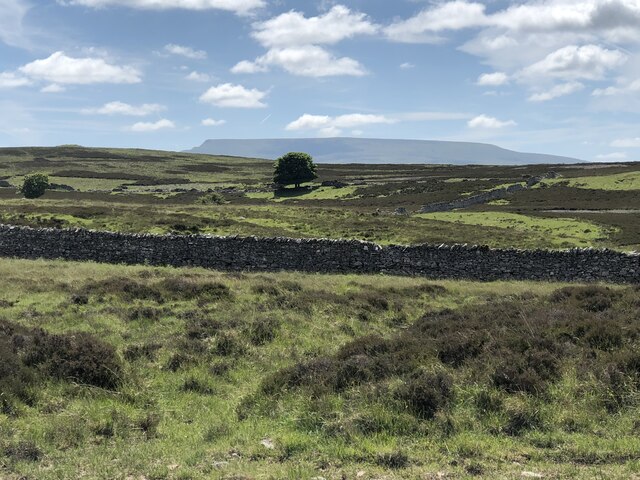
The hill is home to a diverse range of flora and fauna, including various species of birds, mammals, and plant life. It is particularly renowned for its heather moorland, which blooms into a vibrant purple hue during the summer months.
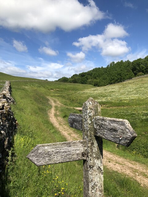
There are several well-marked trails and footpaths that crisscross the hill, allowing visitors to explore its natural beauty and discover hidden gems along the way. From the summit, on a clear day, one can enjoy panoramic views of the surrounding countryside, including the nearby Lake Windermere and the distant peaks of the Lake District.
Park Hill is accessible by road and is located in close proximity to the charming village of Westmorland, where visitors can find amenities such as cafes, pubs, and accommodations. The hill provides a tranquil escape from the hustle and bustle of daily life, offering an opportunity to connect with nature and enjoy the stunning landscapes that this part of England is famous for.
If you have any feedback on the listing, please let us know in the comments section below.
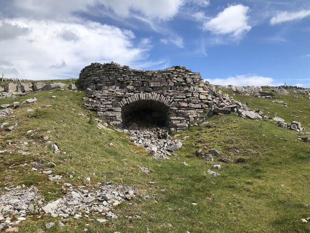
Park Hill Images
Images are sourced within 2km of 54.436261/-2.4285248 or Grid Reference NY7204. Thanks to Geograph Open Source API. All images are credited.


Park Hill is located at Grid Ref: NY7204 (Lat: 54.436261, Lng: -2.4285248)
Administrative County: Cumbria
District: Eden
Police Authority: Cumbria
What 3 Words
///carefully.invent.feared. Near Kirkby Stephen, Cumbria
Nearby Locations
Related Wikis

Ravenstonedale Priory
Ravenstonedale Priory was a Gilbertine priory in Cumbria, England. It was founded in the reign of Henry II, when Torphin, son of Robert, son of Copsus...
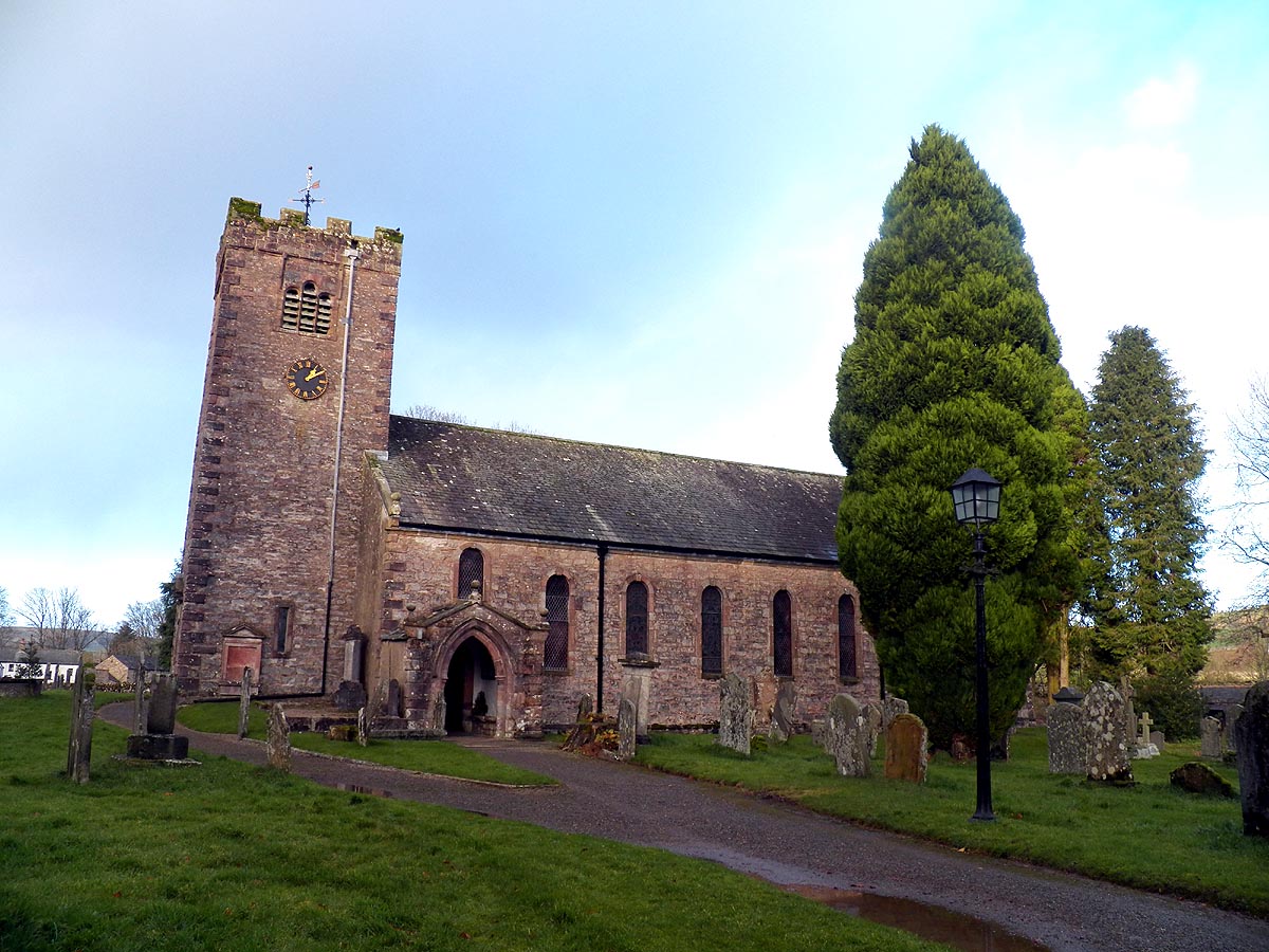
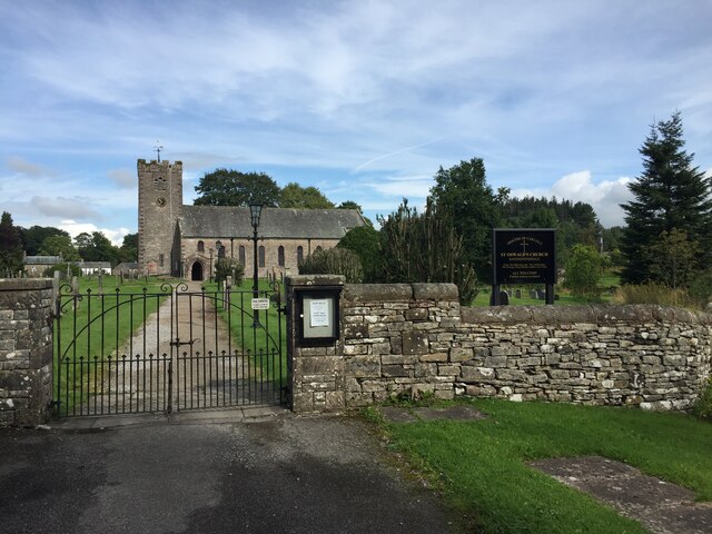
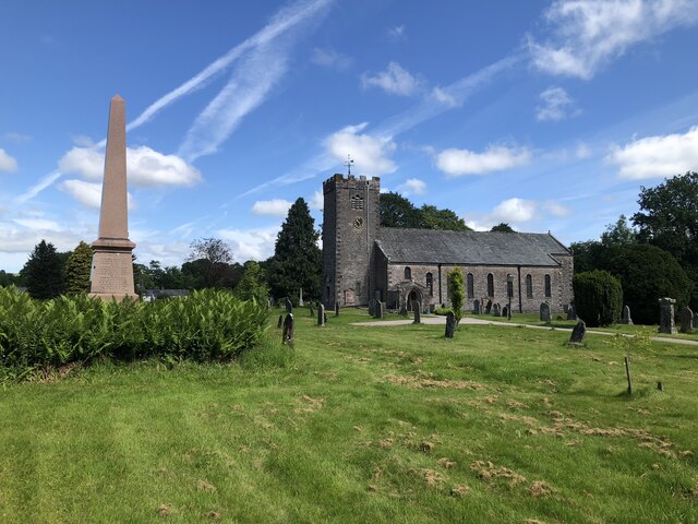
St Oswald's Church, Ravenstonedale
St Oswald's Church is in the village of Ravenstonedale, Cumbria, England. It is an active Anglican parish church in the deanery of Appleby, the archdeaconry...

Ravenstonedale
Ravenstonedale is a village and large civil parish in Cumbria, on the watershed between the River Lune and River Eden. The village lies 4 miles (6 km)...

Newbiggin-on-Lune
Newbiggin-on-Lune is a village in Cumbria, England. Historically in Westmorland it is about 4 miles (6.4 km) south west of Kirkby Stephen, and lies on...
Nearby Amenities
Located within 500m of 54.436261,-2.4285248Have you been to Park Hill?
Leave your review of Park Hill below (or comments, questions and feedback).