Crutchenber Fell
Hill, Mountain in Yorkshire Ribble Valley
England
Crutchenber Fell
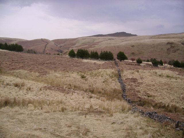
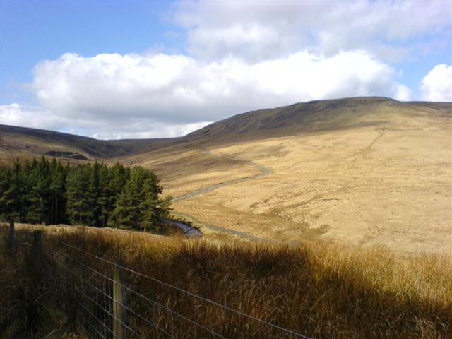
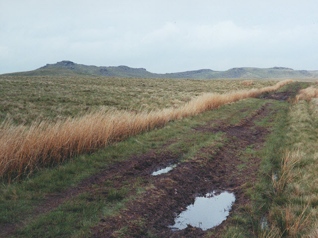
Crutchenber Fell is a prominent hill located in the county of Yorkshire, England. Situated in the northern part of the county, it is part of the larger Pennine range and is known for its rugged beauty and stunning panoramic views. Rising to an elevation of approximately 450 meters (1476 feet), it stands as a notable landmark in the surrounding landscape.
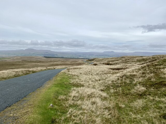
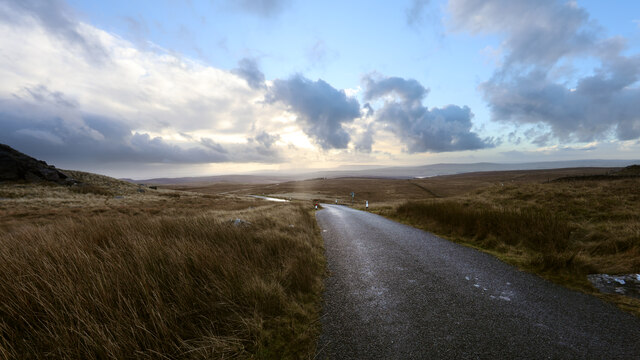
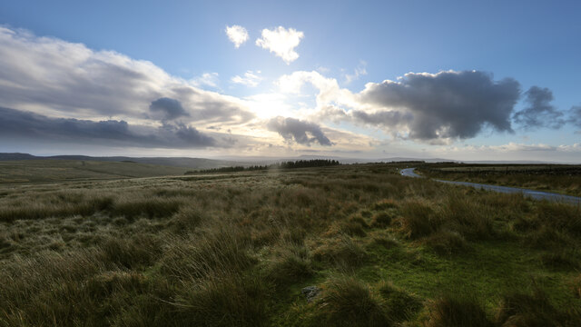
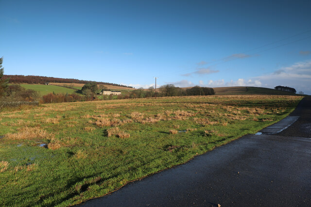
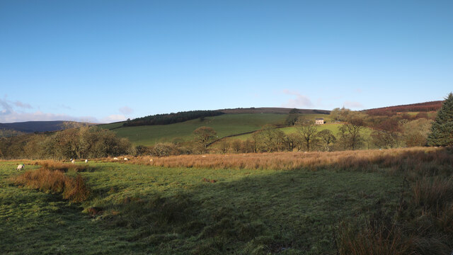
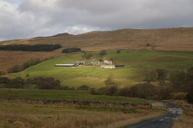
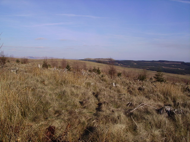
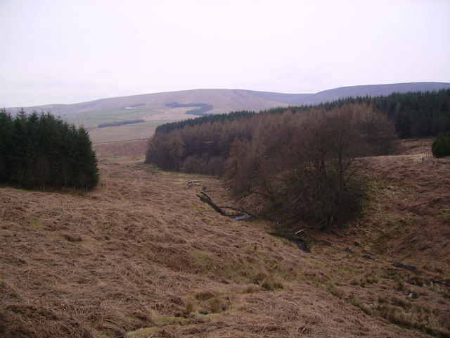
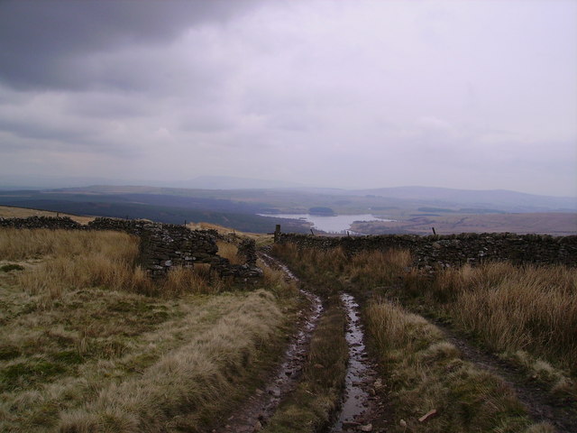
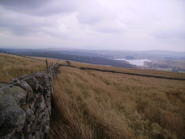
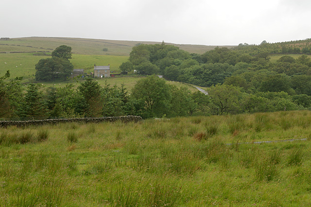
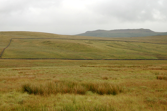
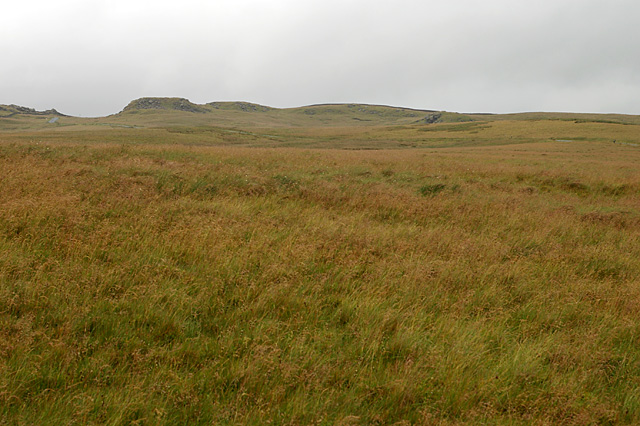
The fell is characterized by its steep slopes and rocky terrain, making it a popular destination for hikers and outdoor enthusiasts. Its location within the Yorkshire Dales National Park adds to its appeal, attracting visitors from far and wide. The summit of Crutchenber Fell offers breathtaking vistas of the surrounding countryside, with rolling hills, meandering rivers, and picturesque valleys extending as far as the eye can see.
The hill is home to a diverse range of flora and fauna, with various species of birds, mammals, and plants inhabiting its slopes. It is particularly known for its rich biodiversity, with rare species of wildflowers and mosses found in abundance. The fells and moorland surrounding Crutchenber Fell provide a habitat for wildlife such as red grouse, curlews, and mountain hares.
Access to Crutchenber Fell is easy, with several footpaths and trails leading to the summit. The most popular route starts from the nearby village of Crutchenber, offering a moderate yet rewarding hike. Along the way, visitors can enjoy the tranquility of the countryside, as well as the occasional glimpse of grazing sheep and cattle.
Overall, Crutchenber Fell is a captivating natural feature of Yorkshire, offering both scenic beauty and opportunities for outdoor exploration.
If you have any feedback on the listing, please let us know in the comments section below.
Crutchenber Fell Images
Images are sourced within 2km of 54.037995/-2.4258052 or Grid Reference SD7260. Thanks to Geograph Open Source API. All images are credited.

Crutchenber Fell is located at Grid Ref: SD7260 (Lat: 54.037995, Lng: -2.4258052)
Division: West Riding
Administrative County: Lancashire
District: Ribble Valley
Police Authority: Lancashire
What 3 Words
///talkers.neckline.countries. Near Settle, North Yorkshire
Nearby Locations
Related Wikis

Easington, Lancashire
Easington () is a civil parish within the Ribble Valley district of Lancashire, England, with a population in 2001 of 52. The Census 2011 population details...

Stocks Reservoir
Stocks Reservoir is a reservoir situated at the head of the Hodder valley in the Forest of Bowland, Lancashire, England (historically in the West Riding...

White Hill (Forest of Bowland)
White Hill is a hill in the Forest of Bowland, north-western England. It lies between Slaidburn and High Bentham. The summit houses a tower and a trig...

Keasden
Keasden is a hamlet in the civil parish of Clapham-cum-Newby, in the Craven district of the county of North Yorkshire, in the north-western England. It...

Geography of the United Kingdom
The United Kingdom is a sovereign state located off the north-western coast of continental Europe. With a total area of approximately 248,532 square kilometres...

Tosside
Tosside is a small village on the modern border of North Yorkshire and Lancashire in Northern England. It lies within the Forest of Bowland, and is between...

Eldroth
Eldroth is a village in North Yorkshire, England. It is in the civil parish of Lawkland, part of the former Craven District, some 3.25 miles (5.23 km)...

Gisburn Forest
Gisburn Forest is a civil parish in the Ribble Valley, in Lancashire, England. Mainly lying within the Forest of Bowland Area of Outstanding Natural Beauty...
Nearby Amenities
Located within 500m of 54.037995,-2.4258052Have you been to Crutchenber Fell?
Leave your review of Crutchenber Fell below (or comments, questions and feedback).