Crutchenber Fell
Downs, Moorland in Yorkshire Ribble Valley
England
Crutchenber Fell
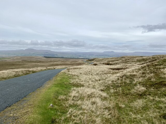
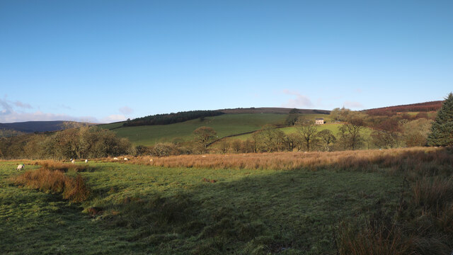
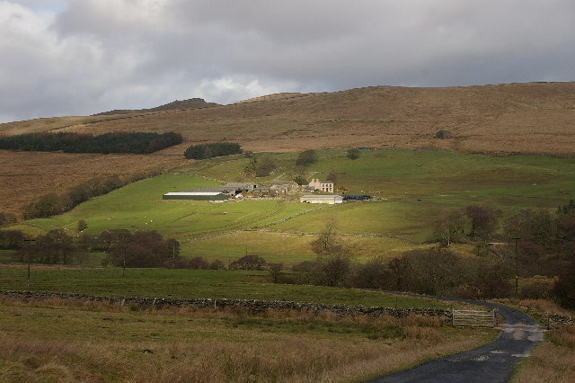
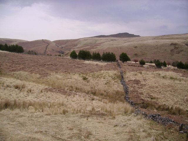
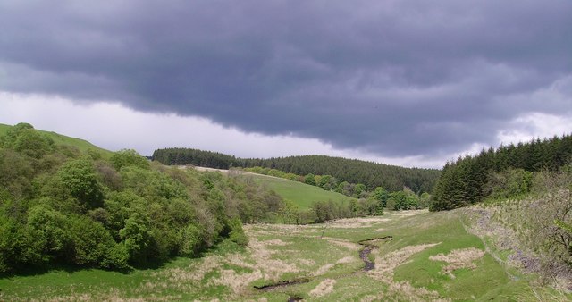
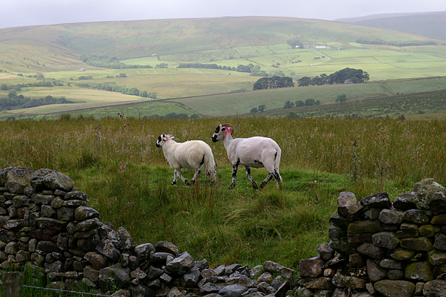
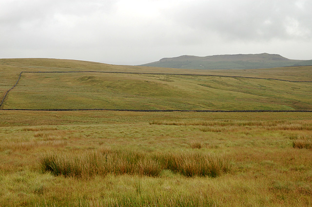
Crutchenber Fell is a picturesque area located in the county of Yorkshire, England. Nestled between the Yorkshire Downs and Moorland, it offers breathtaking views and a unique natural landscape. Covering an expansive area, Crutchenber Fell is a haven for outdoor enthusiasts and nature lovers.
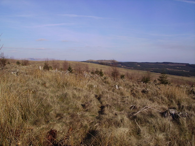
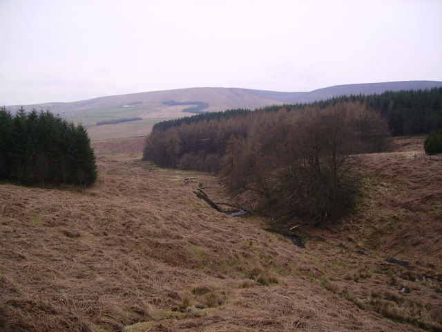
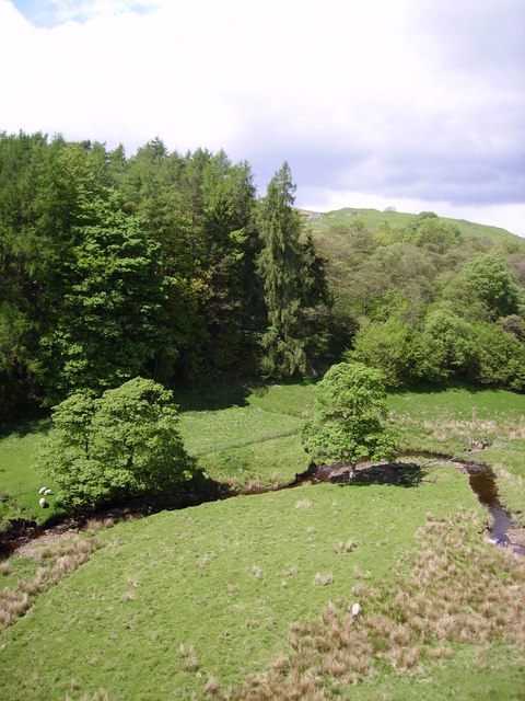
The Fell is characterized by its rolling hills, which are covered in heather and grasses, creating a stunningly vibrant display of colors throughout the year. The diverse flora and fauna found here make it a popular destination for birdwatchers and wildlife enthusiasts. Visitors may spot species such as curlews, lapwings, and red grouse, among others.
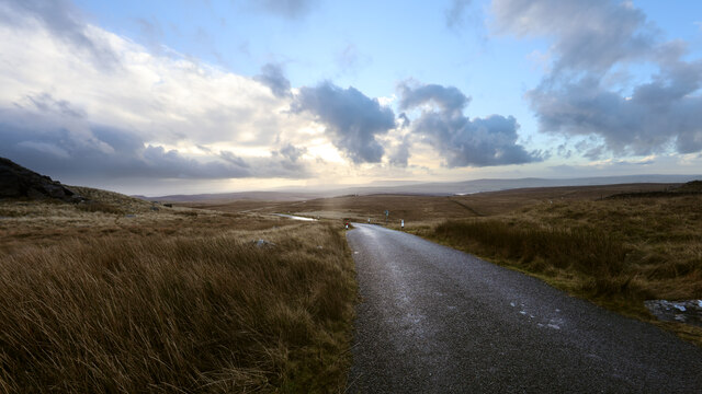
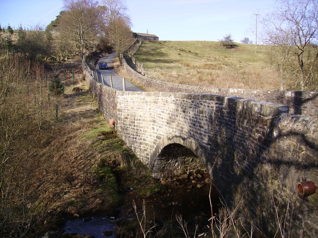
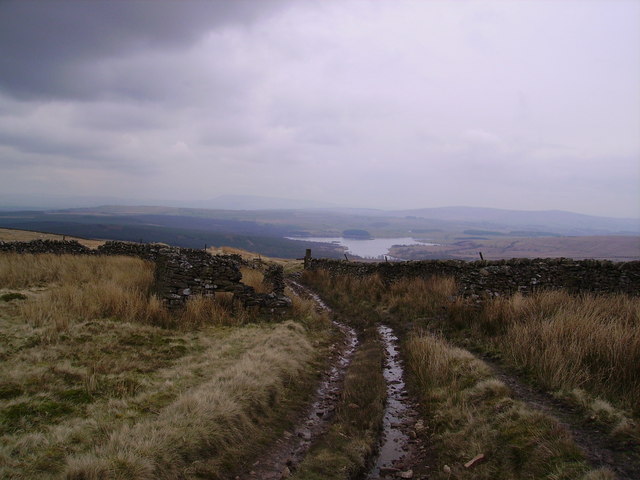
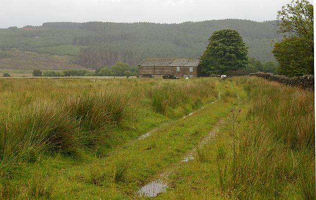
The area is crisscrossed with footpaths and trails, making it an ideal location for hiking and exploring. One of the most popular routes is the Crutchenber Circular Walk, which offers a challenging yet rewarding trek through the stunning countryside. Along the way, walkers can enjoy panoramic views of the surrounding moorland and discover ancient monuments, such as stone circles and burial mounds.
Crutchenber Fell also boasts historical significance, with evidence of human habitation dating back to the Bronze Age. Archaeological excavations have revealed artifacts and structures that provide insight into the lives of past civilizations. Visitors can learn about the area's rich history at the nearby Crutchenber Fell Visitor Center, which offers interactive exhibits and educational programs.
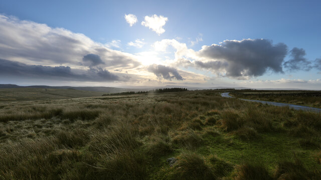
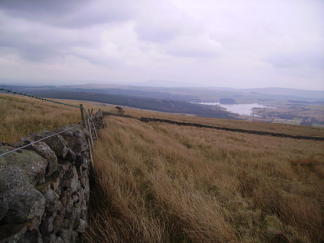
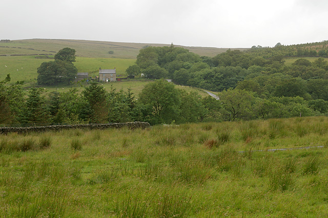
Overall, Crutchenber Fell is a remarkable destination that showcases the natural beauty of Yorkshire. Whether it's exploring the moorland, admiring the diverse wildlife, or delving into the area's history, visitors are guaranteed an unforgettable experience in this enchanting corner of England.
If you have any feedback on the listing, please let us know in the comments section below.
Crutchenber Fell Images
Images are sourced within 2km of 54.035286/-2.4141432 or Grid Reference SD7260. Thanks to Geograph Open Source API. All images are credited.
Crutchenber Fell is located at Grid Ref: SD7260 (Lat: 54.035286, Lng: -2.4141432)
Division: West Riding
Administrative County: Lancashire
District: Ribble Valley
Police Authority: Lancashire
What 3 Words
///chose.meals.lawfully. Near Settle, North Yorkshire
Nearby Locations
Related Wikis

Easington, Lancashire
Easington () is a civil parish within the Ribble Valley district of Lancashire, England, with a population in 2001 of 52. The Census 2011 population details...

Stocks Reservoir
Stocks Reservoir is a reservoir situated at the head of the Hodder valley in the Forest of Bowland, Lancashire, England (historically in the West Riding...

Tosside
Tosside is a small village on the modern border of North Yorkshire and Lancashire in Northern England. It lies within the Forest of Bowland, and is between...

White Hill (Forest of Bowland)
White Hill is a hill in the Forest of Bowland, north-western England. It lies between Slaidburn and High Bentham, on the boundary between the City of Lancaster...
Nearby Amenities
Located within 500m of 54.035286,-2.4141432Have you been to Crutchenber Fell?
Leave your review of Crutchenber Fell below (or comments, questions and feedback).