Bright's Hill
Hill, Mountain in Gloucestershire Forest of Dean
England
Bright's Hill
Bright's Hill is a prominent hill located in the county of Gloucestershire, England. Situated near the village of Hawling, it is part of the Cotswold Hills, an Area of Outstanding Natural Beauty. With an elevation of approximately 317 meters (1,040 feet), Bright's Hill offers stunning panoramic views of the surrounding countryside.
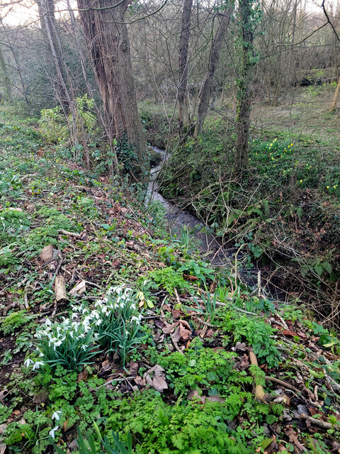
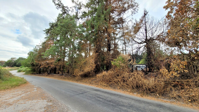
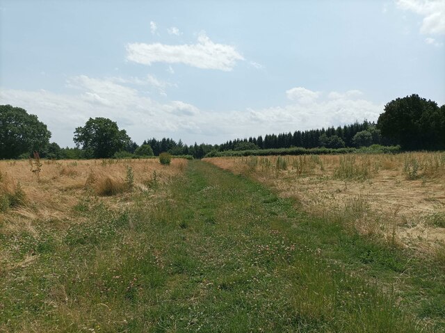
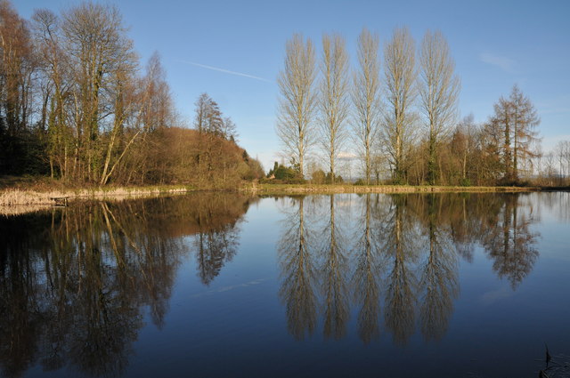
The hill is predominantly covered in lush green grass and is dotted with patches of thick woodland, providing a diverse habitat for various flora and fauna. It is home to a wide range of wildlife, including deer, rabbits, and numerous bird species, making it a popular spot for nature enthusiasts and birdwatchers.
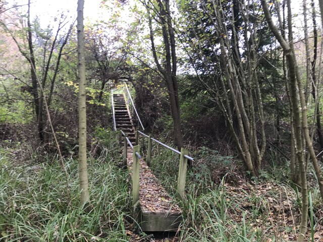
Bright's Hill is a favorite destination for outdoor enthusiasts due to its network of footpaths and bridleways, allowing visitors to explore the area on foot, bike, or horseback. The hill is particularly noteworthy for its walking trails, which offer a chance to discover the rich history and heritage of the region. Ruins of ancient settlements and burial mounds can be found along these routes, providing insights into the area's past.
The hill's location within the Cotswold Hills also makes it an ideal starting point for hikers and climbers looking to explore the wider region. Its proximity to other notable landmarks, such as the historic Sudeley Castle and the picturesque villages of the Cotswolds, further adds to its appeal.
Whether it is for its natural beauty, wildlife, or historical significance, Bright's Hill offers a captivating experience for visitors seeking to immerse themselves in the charm of Gloucestershire's countryside.
If you have any feedback on the listing, please let us know in the comments section below.
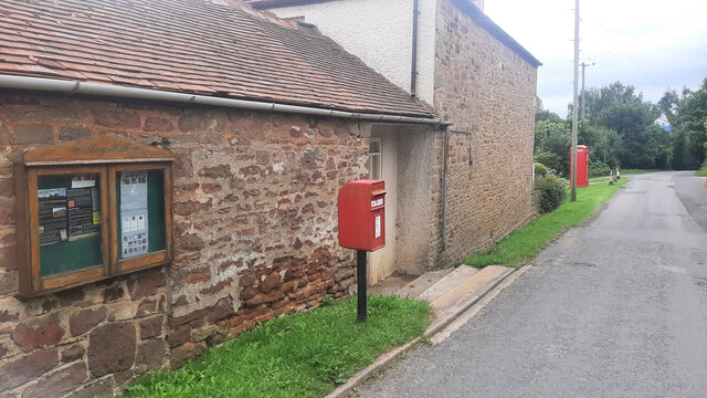
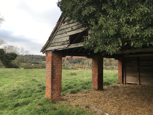
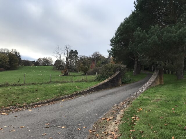
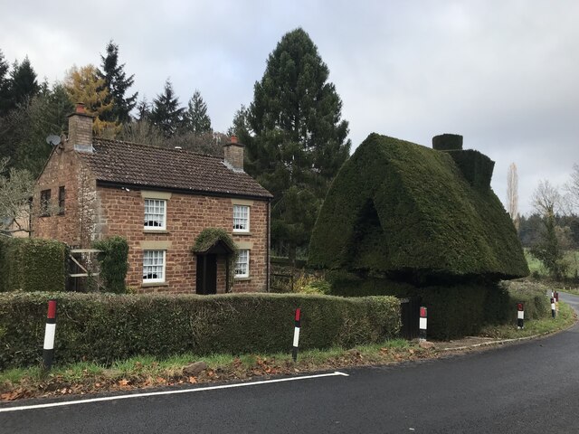
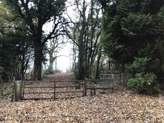
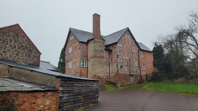
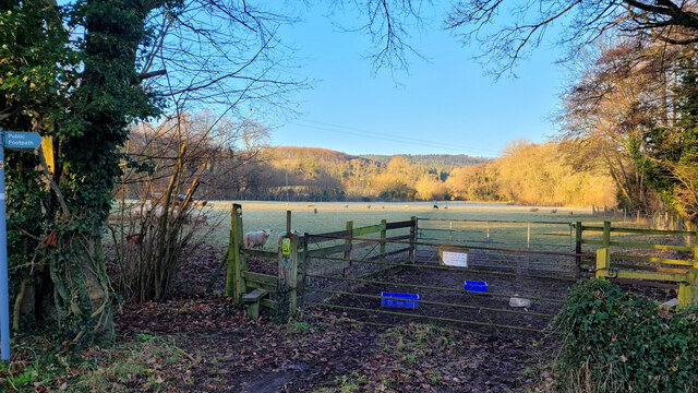
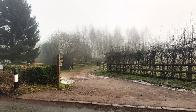
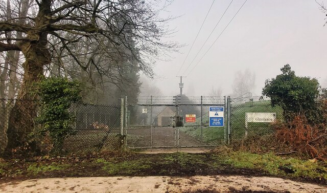
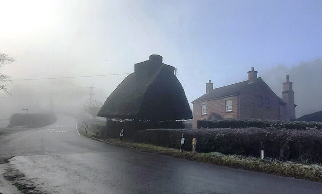
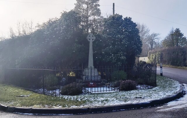
Bright's Hill Images
Images are sourced within 2km of 51.878212/-2.4247588 or Grid Reference SO7020. Thanks to Geograph Open Source API. All images are credited.
Bright's Hill is located at Grid Ref: SO7020 (Lat: 51.878212, Lng: -2.4247588)
Administrative County: Gloucestershire
District: Forest of Dean
Police Authority: Gloucestershire
What 3 Words
///silks.perusing.earl. Near Huntley, Gloucestershire
Nearby Locations
Related Wikis

Hobbs Quarry SSSI, Longhope
Hobbs Quarry, Longhope (grid reference SO695195) is a 1-hectare (2.5-acre) geological and biological Site of Special Scientific Interest in Gloucestershire...

The Mount, Nottswood Hill
The Mount, Nottswood Hill, is a grade II listed house near Blaisdon in Gloucestershire. The house is thought to have been rebuilt in the later nineteenth...

May Hill
May Hill is a prominent English hill between Gloucester and Ross-on-Wye. Its summit, on the western edge of Gloucestershire and its northern slopes in...
Longhope Hill
Longhope Hill (grid reference SO693185) is a 0.2-hectare (0.49-acre) geological Site of Special Scientific Interest in Gloucestershire, notified in 1989...

Longhope railway station
Longhope railway station is a disused stone-built railway station that served the village of Longhope in Gloucestershire, England. Opened in 1855 with...

Longhope
Longhope is a village in west Gloucestershire, situated within the Forest of Dean, England, United Kingdom. Arthur Bullock, who was born in Longhope in...
Anthony's Cross
Anthony's Cross is a hamlet in Gloucestershire, England. == External links == Media related to Anthony's Cross at Wikimedia Commons

Cliffords Mesne
Cliffords Mesne is an English village in Gloucestershire, two miles (3.2 km) south-west of the town of Newent. It became the home of the autobiographical...
Nearby Amenities
Located within 500m of 51.878212,-2.4247588Have you been to Bright's Hill?
Leave your review of Bright's Hill below (or comments, questions and feedback).