Ganders Green
Settlement in Gloucestershire Forest of Dean
England
Ganders Green
Ganders Green is a small village located in the county of Gloucestershire, England. Situated amidst picturesque countryside, it is known for its tranquility and natural beauty. The village is situated approximately 10 miles southwest of the city of Gloucester, making it an ideal location for those seeking a peaceful retreat while still having access to urban amenities.
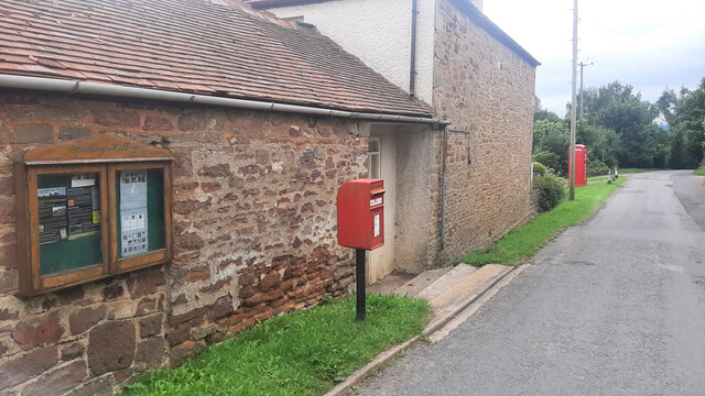
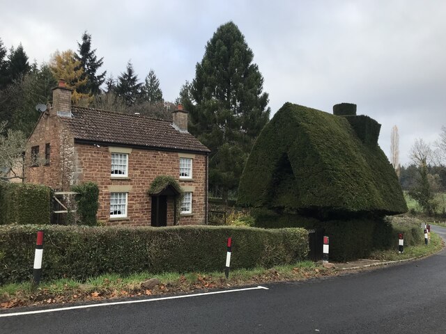
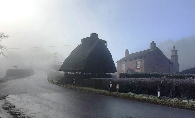
The village is characterized by its charming traditional stone cottages and well-manicured gardens, which add to its idyllic charm. The local community is close-knit and friendly, with a population of around 500 residents. The village is served by a small but active parish council, which organizes various community events throughout the year.
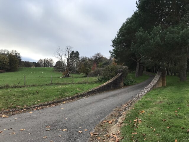
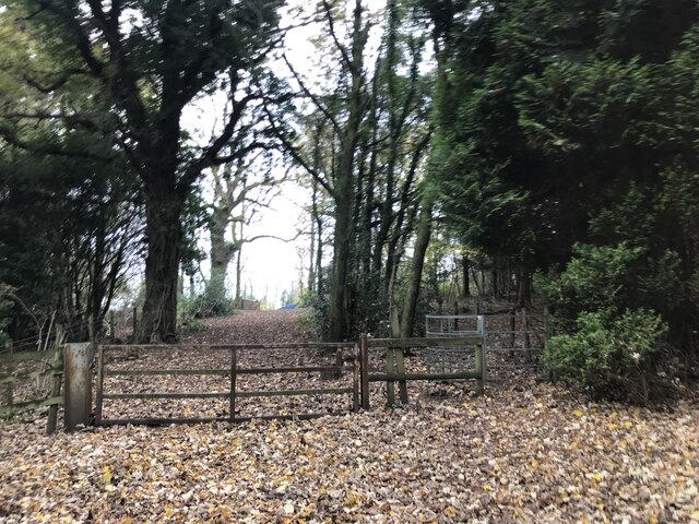
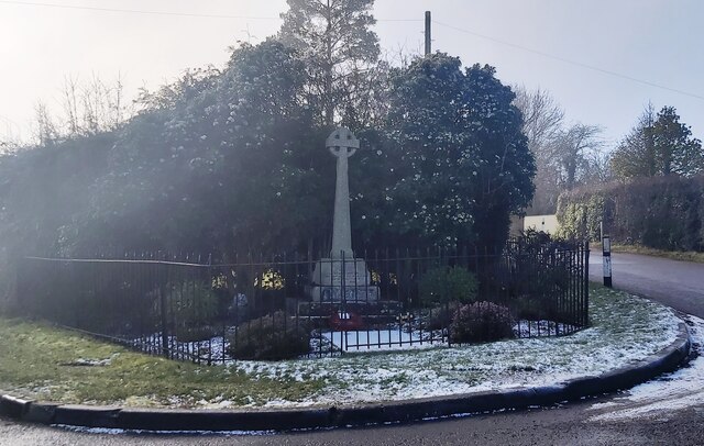
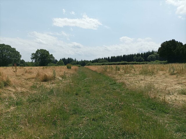
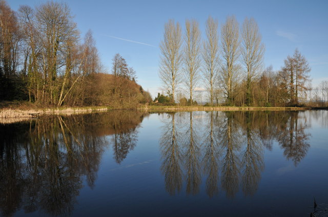
Nature enthusiasts will find plenty to explore in Ganders Green, as it is surrounded by rolling hills, lush meadows, and dense woodlands. The nearby Cotswold Way offers stunning walking trails, allowing visitors to immerse themselves in the area's natural beauty. The village also boasts a well-maintained cricket pitch, which serves as a focal point for recreational activities and social gatherings.
While Ganders Green itself does not have many commercial establishments, the neighboring towns of Gloucester and Cheltenham offer a wide range of amenities, including shopping centers, restaurants, and cultural attractions. Additionally, the village is well-connected to major road networks, making it easily accessible for residents and visitors alike.
In summary, Ganders Green in Gloucestershire is a charming village that combines the tranquility of rural living with convenient access to nearby towns. Its natural beauty and close-knit community make it an appealing destination for those seeking a peaceful and picturesque lifestyle.
If you have any feedback on the listing, please let us know in the comments section below.
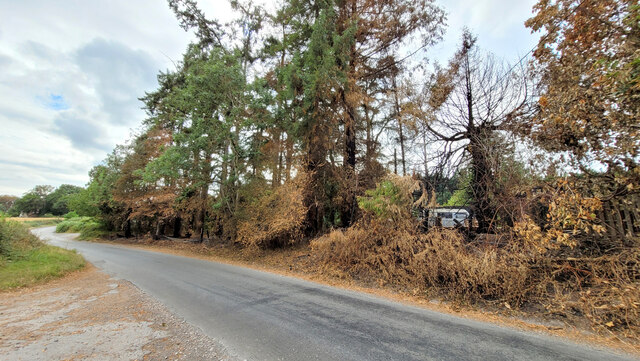
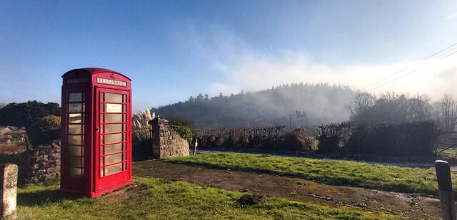
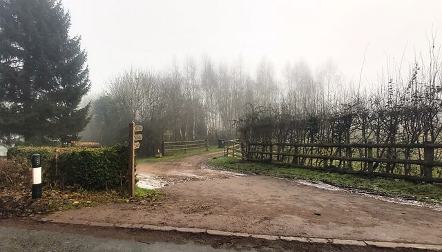
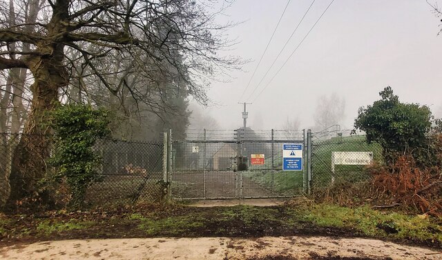
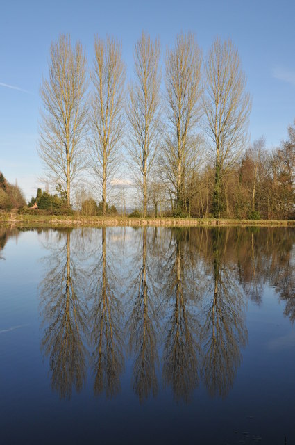
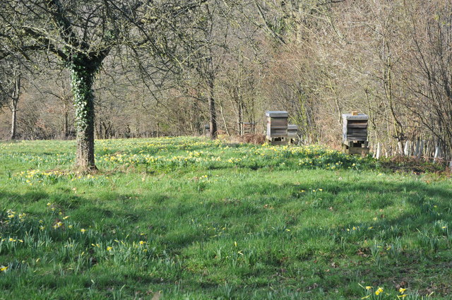
Ganders Green Images
Images are sourced within 2km of 51.877753/-2.4372038 or Grid Reference SO7020. Thanks to Geograph Open Source API. All images are credited.


Ganders Green is located at Grid Ref: SO7020 (Lat: 51.877753, Lng: -2.4372038)
Administrative County: Gloucestershire
District: Forest of Dean
Police Authority: Gloucestershire
What 3 Words
///lifetimes.cabinets.builder. Near Longhope, Gloucestershire
Nearby Locations
Related Wikis

Hobbs Quarry SSSI, Longhope
Hobbs Quarry, Longhope (grid reference SO695195) is a 1-hectare (2.5-acre) geological and biological Site of Special Scientific Interest in Gloucestershire...

Longhope railway station
Longhope railway station is a disused stone-built railway station that served the village of Longhope in Gloucestershire, England. Opened in 1855 with...

May Hill
May Hill is a prominent English hill between Gloucester and Ross-on-Wye. Its summit, on the western edge of Gloucestershire and its northern slopes in...

Longhope
Longhope is a village in west Gloucestershire, situated within the Forest of Dean, England, United Kingdom. Arthur Bullock, who was born in Longhope in...

Longhope Hill
Longhope Hill (grid reference SO693185) is a 0.2-hectare (0.49-acre) geological Site of Special Scientific Interest in Gloucestershire, notified in 1989...
The Mount, Nottswood Hill
The Mount, Nottswood Hill, is a grade II listed house near Blaisdon in Gloucestershire. The house is thought to have been rebuilt in the later nineteenth...
Luxley
Luxley is a village in the southwest Midlands of England, on the border between Gloucestershire and Herefordshire near May Hill. Luxley is 12 km (7.5 mi...

Cliffords Mesne
Cliffords Mesne is an English village in Gloucestershire, two miles (3.2 km) south-west of the town of Newent. It became the home of the autobiographical...
Nearby Amenities
Located within 500m of 51.877753,-2.4372038Have you been to Ganders Green?
Leave your review of Ganders Green below (or comments, questions and feedback).