East Hill
Hill, Mountain in Dorset
England
East Hill
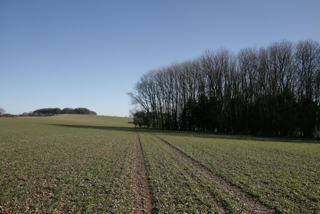
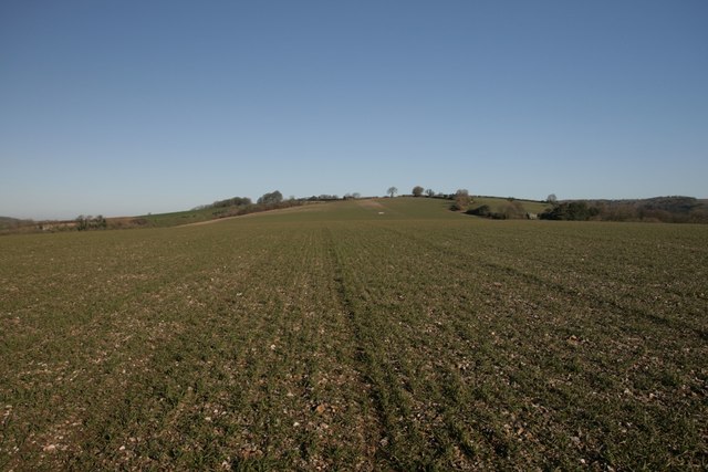
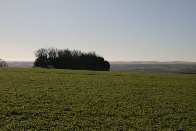
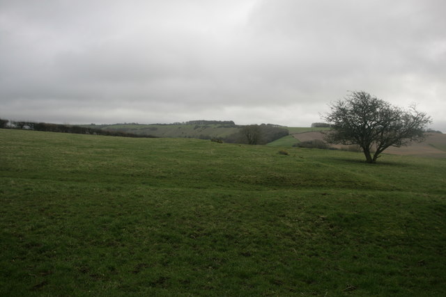
East Hill is a prominent hill located in the county of Dorset, England. Situated in the southwestern part of the county, it forms part of the rolling landscape of the Dorset Downs, a range of chalk hills that stretch across the region. With an elevation of approximately 252 meters (827 feet), East Hill is considered one of the highest points in Dorset.
The hill is renowned for its natural beauty, offering breathtaking panoramic views of the surrounding countryside. From its summit, visitors can admire the picturesque landscapes of the Dorset Downs, with their patchwork fields, meandering rivers, and quaint villages. On clear days, it is even possible to catch a glimpse of the English Channel in the distance.
East Hill is a popular destination for outdoor enthusiasts, attracting hikers, walkers, and nature lovers alike. The hill is crisscrossed by a network of footpaths and trails, providing opportunities for leisurely strolls or more challenging hikes. The surrounding area is home to diverse flora and fauna, including rare chalk grasslands and various bird species, making it an ideal spot for wildlife observation.
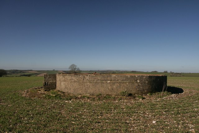
In addition to its natural attractions, East Hill also boasts historical significance. The hill is dotted with remnants of ancient settlements, including Iron Age hillforts and burial mounds, giving visitors a glimpse into the area's rich past.
Overall, East Hill offers a perfect combination of natural beauty, outdoor activities, and historical interest, making it a must-visit destination for those exploring the Dorset region.
If you have any feedback on the listing, please let us know in the comments section below.
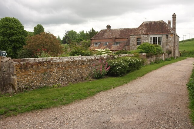
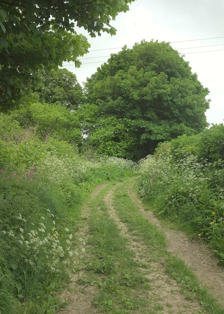
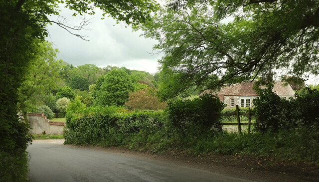
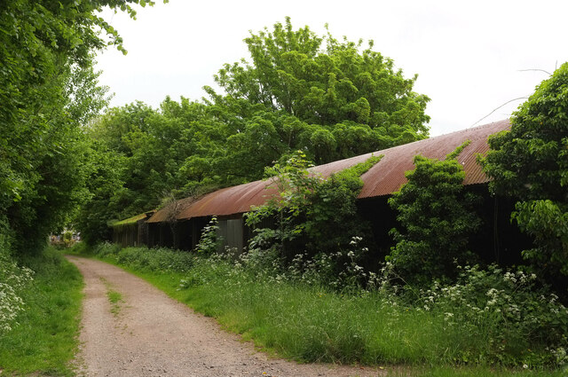
East Hill Images
Images are sourced within 2km of 50.80389/-2.418556 or Grid Reference ST7000. Thanks to Geograph Open Source API. All images are credited.

East Hill is located at Grid Ref: ST7000 (Lat: 50.80389, Lng: -2.418556)
Unitary Authority: Dorset
Police Authority: Dorset
What 3 Words
///sprain.octagonal.spans. Near Puddletown, Dorset
Nearby Locations
Related Wikis

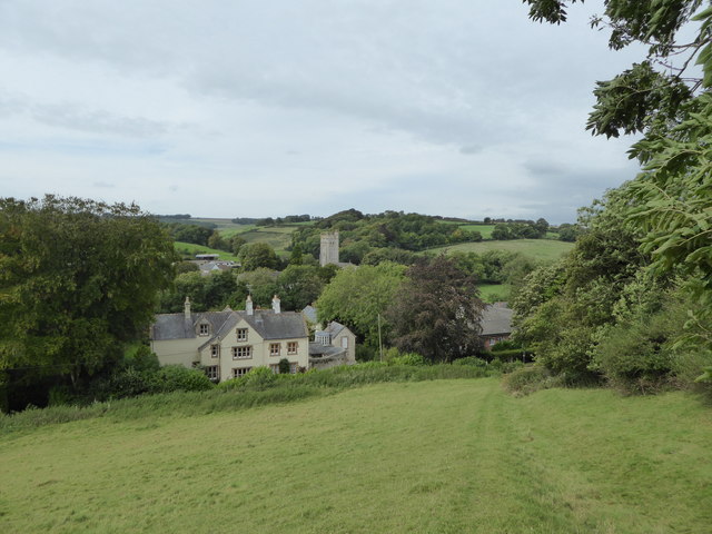
Piddletrenthide
Piddletrenthide ( ) is a village and civil parish in the English county of Dorset. It is sited by the small River Piddle in a valley on the dip slope of...

Piddletrenthide Hoard
The Piddletrenthide Hoard is a Roman coin hoard dating from the 3rd century AD, found near Piddletrenthide, Dorset. It consisted of 2,114 base silver radiates...

Piddletrenthide (liberty)
Piddletrenthide Liberty was a liberty in the county of Dorset, England, containing the following parishes: Gorewood (from 1858) Minterne Magna (part)...

Doles Ash
Doles Ash is a farm in Dorset, England, a few kilometers east of Piddletrenthide and south of Plush. The farm features in Thomas Hardy's Tess of the D...

Plush, Dorset
Plush is a small village in the English county of Dorset. It lies within the civil parish of Piddletrenthide in the west of the county, and is approximately...

Alton Pancras
Alton Pancras is a small village and civil parish in Dorset, England. In the 2011 census the civil parish had a population of 175. The village church is...

Ball Hill, Dorset
At 251 metres, Ball Hill is one of the highest hills in the county of Dorset, England, and is on the Wessex Ridgeway. == Location == The summit of Ball...

Piddlehinton
Piddlehinton is a village and civil parish in west Dorset, England, situated in the Piddle valley 5 miles (8.0 km) north of Dorchester. In the 2011 census...
Related Videos

Let’s Draw a Travel Guitar #guitar #guitarsdaily #woodworking
Getting inspiration down on paper doesn't have to be scary… With a pencil and a good eraser, just keep going until you get to ...

Happy Holidays from Team Crimson.
Seasons Greetings and best wishes for 2024, from Team Crimson. We Wish you a Merry Christmas Kevin MacLeod ...

VERY Old Gretsch 6120T Chet Atkins Signature Guitar #guitar #guitarsdaily #woodworking
This stunning guitar is in for a repair, and yes, we will be filming it https://www.crimsonguitars.com/ Do you want to know how to ...

Congrats, Tony! He won a US Fender Tele AND a Crimson Scion within 2 weeks! #guitarsdaily
How amazing that one our our Daily Guitar Draw winners happened to be on holiday in Dorset and was able to collect his ...
Nearby Amenities
Located within 500m of 50.80389,-2.418556Have you been to East Hill?
Leave your review of East Hill below (or comments, questions and feedback).