Benty Hill
Hill, Mountain in Northumberland
England
Benty Hill

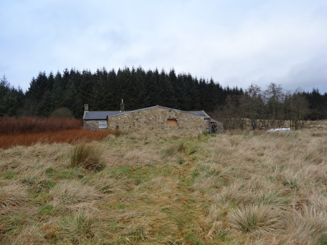
Benty Hill is a prominent hill located in the county of Northumberland, England. With an elevation of 423 meters (1,388 feet), it is known for being one of the highest points in the region. Situated in the North Pennines Area of Outstanding Natural Beauty, Benty Hill offers breathtaking panoramic views of the surrounding countryside.
The hill is characterized by its rugged terrain, consisting of grassy slopes and heather-covered moorland. It is a popular destination for outdoor enthusiasts, including hikers, walkers, and nature lovers. The area is crisscrossed with a network of footpaths and trails, allowing visitors to explore the hill and its surroundings.
Benty Hill is part of a larger range known as the Bentyfield Hills, which stretch across the Northumberland and Durham borders. Its location in the North Pennines, a designated Area of Outstanding Natural Beauty, ensures that the landscape remains unspoiled and rich in biodiversity. The hill is home to a variety of plant and animal species, including several rare and protected species.
In addition to its natural beauty, Benty Hill also holds historical significance. The remains of ancient settlements and stone circles can be found in the vicinity, providing insight into the area's past human occupation. These archaeological features add to the overall allure of the hill, attracting history enthusiasts and researchers alike.
Overall, Benty Hill is a captivating natural landmark that offers a combination of stunning views, diverse wildlife, and a glimpse into Northumberland's rich history. Whether it's for a challenging hike or a peaceful stroll, this hill provides an unforgettable experience for all who visit.
If you have any feedback on the listing, please let us know in the comments section below.
Benty Hill Images
Images are sourced within 2km of 55.128647/-2.4632785 or Grid Reference NY7081. Thanks to Geograph Open Source API. All images are credited.


Benty Hill is located at Grid Ref: NY7081 (Lat: 55.128647, Lng: -2.4632785)
Unitary Authority: Northumberland
Police Authority: Northumbria
What 3 Words
///path.tripods.enrolling. Near Bellingham, Northumberland
Nearby Locations
Related Wikis

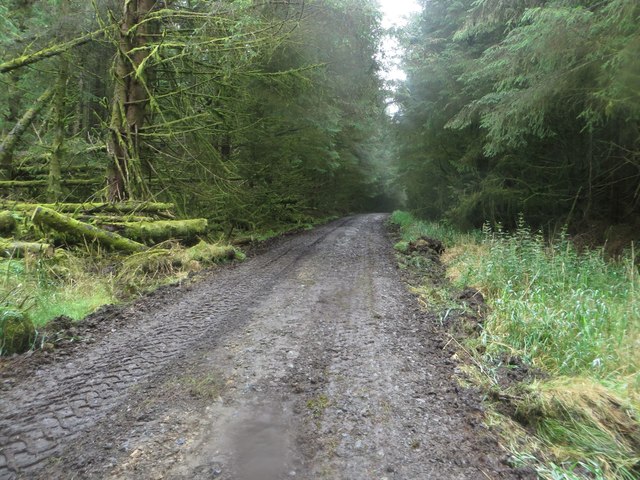
Wark Forest
Wark Forest is the southern part of Kielder Forest in Northumberland, England. Wark Forest is found within the south-west tip of Northumberland National...

Falstone Bridge
Falstone Bridge is a stone bridge across the River North Tyne at Falstone in Northumberland. == History == The bridge, which has three stone arches, was...

Falstone railway station
Falstone railway station is a former railway station that served the hamlet of Falstone, in Northumberland, England. == History == The station was on the...
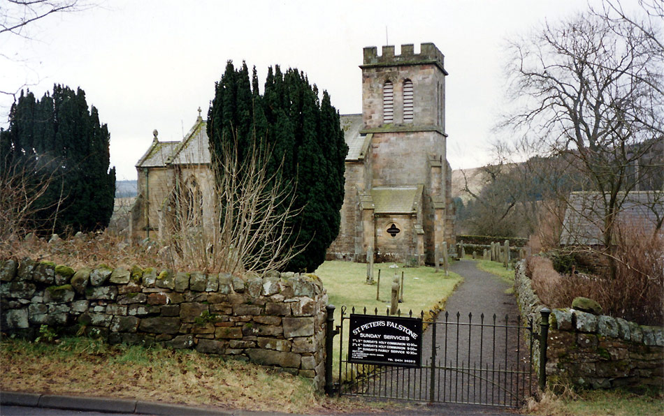
Falstone
Falstone is a small village in Northumberland, England, just east of Kielder Water. The village is 8 miles (13 km) from the Anglo–Scottish border. The...
Nearby Amenities
Located within 500m of 55.128647,-2.4632785Have you been to Benty Hill?
Leave your review of Benty Hill below (or comments, questions and feedback).