Broom Hill
Hill, Mountain in Banffshire
Scotland
Broom Hill

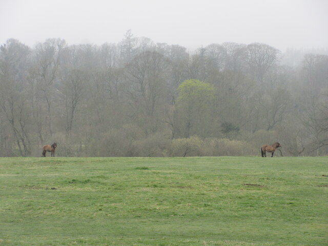
Broom Hill, located in Banffshire, Scotland, is a prominent hill that offers stunning views of the surrounding countryside. Rising to an elevation of approximately 330 meters (1,083 feet), it is classified as a hill rather than a mountain. Broom Hill is situated in a rural area, approximately 5 kilometers (3 miles) south of the town of Keith.
The hill is characterized by its gently sloping terrain and is covered in a variety of vegetation, including heather, grasses, and scattered trees. While it may not be the highest peak in the region, Broom Hill's location provides visitors with expansive vistas of the picturesque Scottish countryside, with rolling hills and meandering rivers visible from its summit.
Broom Hill is a popular destination for outdoor enthusiasts and nature lovers, offering numerous walking trails and paths that cater to all levels of fitness and experience. The hill's accessibility and relatively gentle incline make it an ideal location for a leisurely stroll or a more challenging hike.
In addition to its natural beauty, Broom Hill also holds historical significance. The area is dotted with ancient sites, such as standing stones and burial mounds, which hint at its long human history. Visitors to Broom Hill can explore these ancient relics while enjoying the tranquility of the surrounding landscape.
Overall, Broom Hill in Banffshire is a scenic and accessible hill that offers visitors a chance to immerse themselves in the natural beauty and history of the Scottish countryside.
If you have any feedback on the listing, please let us know in the comments section below.
Broom Hill Images
Images are sourced within 2km of 57.565487/-2.4953307 or Grid Reference NJ7052. Thanks to Geograph Open Source API. All images are credited.


Broom Hill is located at Grid Ref: NJ7052 (Lat: 57.565487, Lng: -2.4953307)
Unitary Authority: Aberdeenshire
Police Authority: North East
What 3 Words
///pave.lawns.replace. Near Turriff, Aberdeenshire
Nearby Locations
Related Wikis
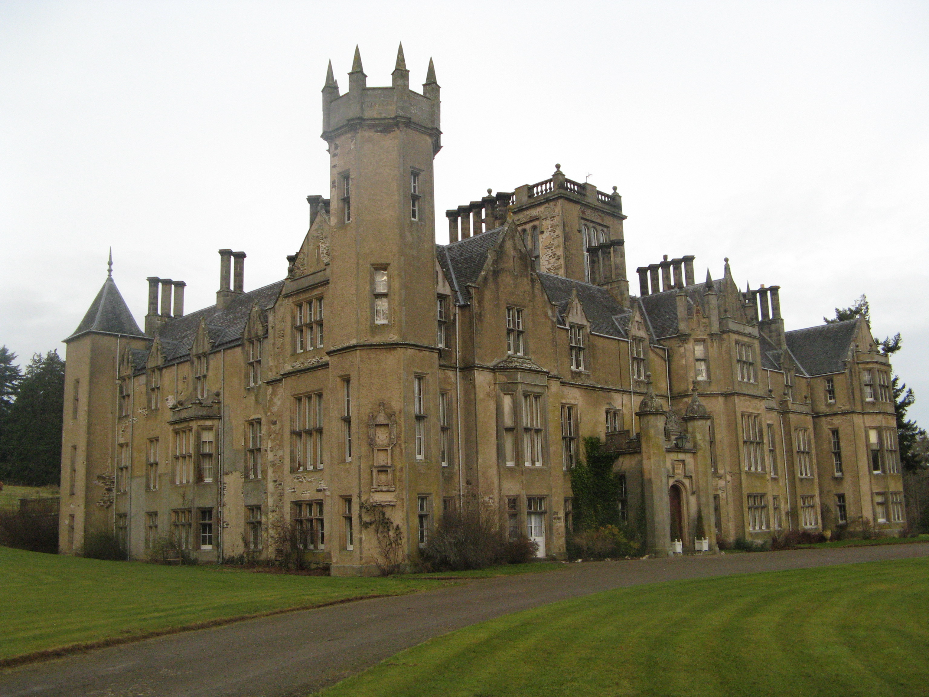
Forglen House
Forglen House is a mansion house that forms the centrepiece of the Forglen estate in the parish of Forglen, north-west of Turriff, Aberdeenshire, in the...

Plaidy railway station
Plaidy railway station was a railway station at Plaidy, Aberdeenshire, Scotland on the rural branchline to Macduff. It was opened in 1860 by the Banff...
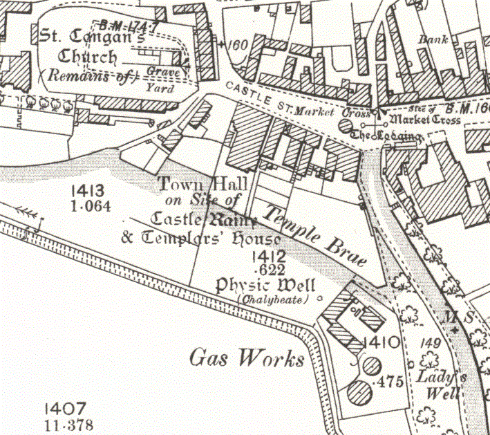
Turriff Castle
Turriff Castle was a tower house, on Castlegate, Turriff, north of Idoch Water, Aberdeenshire, Scotland. The castle was also called Tower of Torrey of...

Turriff
Turriff (from Scottish Gaelic Torraibh 'place of round hills') is a town and civil parish in Aberdeenshire in Scotland. It lies on the River Deveron,...
Nearby Amenities
Located within 500m of 57.565487,-2.4953307Have you been to Broom Hill?
Leave your review of Broom Hill below (or comments, questions and feedback).