Ashogle Pot
Lake, Pool, Pond, Freshwater Marsh in Aberdeenshire
Scotland
Ashogle Pot

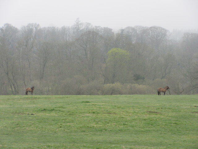
Ashogle Pot is a picturesque freshwater marsh located in Aberdeenshire, Scotland. Nestled within a lush and verdant landscape, the pot is a small yet significant body of water that offers a tranquil and idyllic setting.
With a surface area of approximately 0.5 hectares, Ashogle Pot is classified as a lake or pond, depending on the season. It is primarily fed by rainwater and drainage from the surrounding moorland, resulting in a rich and diverse aquatic ecosystem. The pot is situated at an elevation of 350 meters above sea level, contributing to its unique character and stunning views of the surrounding countryside.
The vegetation around Ashogle Pot is abundant and diverse, with reeds and rushes dominating the marshy areas. These provide habitat and nesting sites for a variety of bird species, including wading birds such as snipes and lapwings. The pot is also home to a range of aquatic plants, such as water lilies and pondweeds, which thrive in the nutrient-rich waters.
The water in Ashogle Pot is relatively shallow, with a maximum depth of around 2 meters. It has excellent water quality, making it an important habitat for a variety of fish species, including brown trout and perch. These fish attract anglers who visit the pot to enjoy the peacefulness and tranquility of the surroundings while engaging in their favorite pastime.
Ashogle Pot is a popular destination for nature enthusiasts and photographers, who are drawn to its serene beauty and the diversity of wildlife it supports. The area surrounding the pot also offers numerous walking trails, allowing visitors to explore the surrounding countryside and enjoy the breathtaking views.
If you have any feedback on the listing, please let us know in the comments section below.
Ashogle Pot Images
Images are sourced within 2km of 57.56256/-2.4973301 or Grid Reference NJ7052. Thanks to Geograph Open Source API. All images are credited.


Ashogle Pot is located at Grid Ref: NJ7052 (Lat: 57.56256, Lng: -2.4973301)
Unitary Authority: Aberdeenshire
Police Authority: North East
What 3 Words
///loafing.broadens.hello. Near Turriff, Aberdeenshire
Nearby Locations
Related Wikis
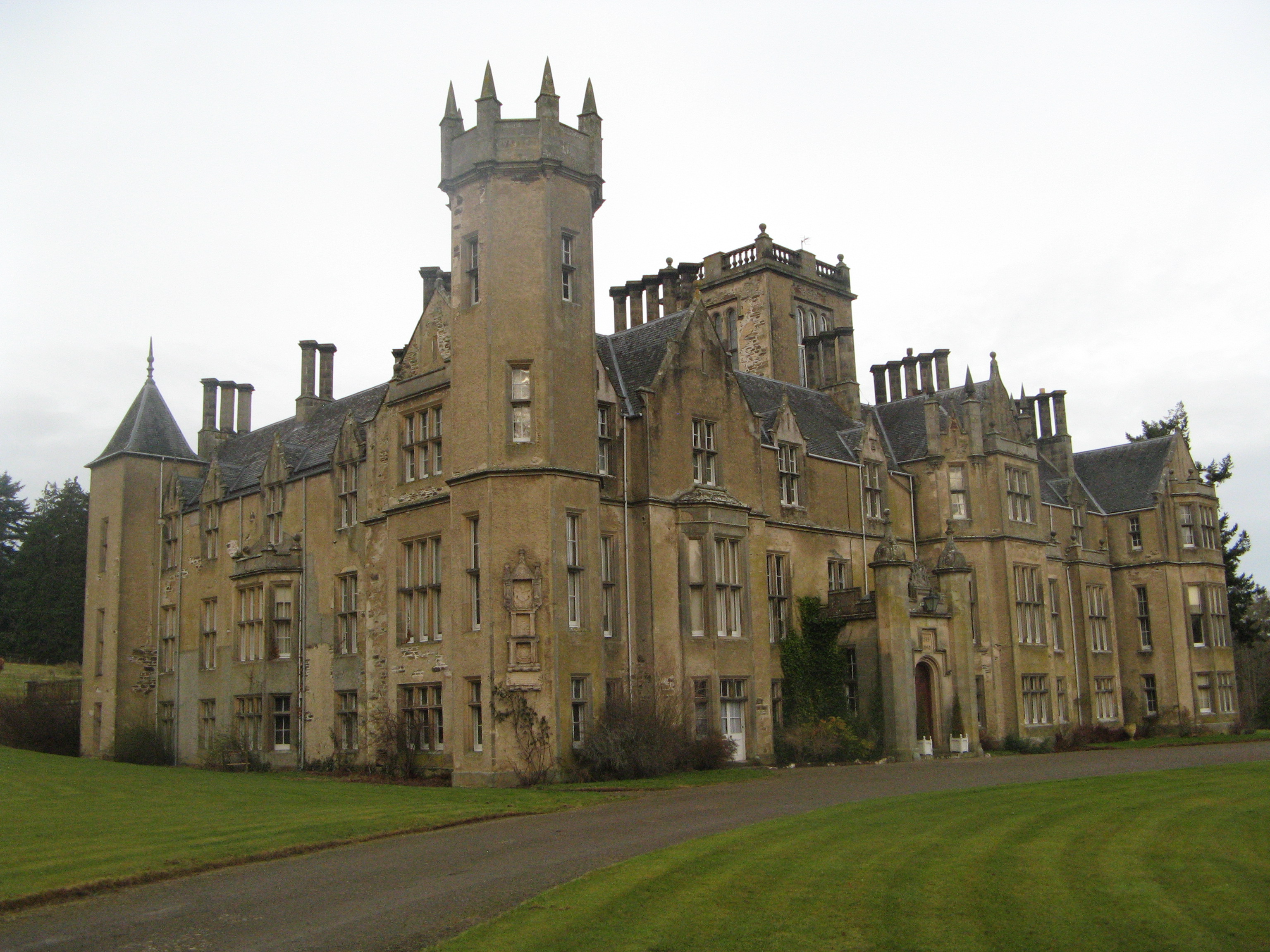
Forglen House
Forglen House is a mansion house that forms the centrepiece of the Forglen estate in the parish of Forglen, north-west of Turriff, Aberdeenshire, in the...
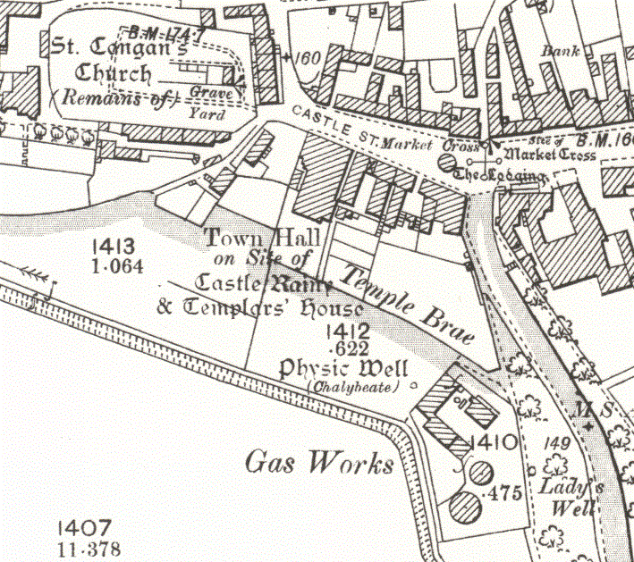
Turriff Castle
Turriff Castle was a tower house, on Castlegate, Turriff, north of Idoch Water, Aberdeenshire, Scotland. The castle was also called Tower of Torrey of...

Whitehill Wood, Aberdeenshire
Whitehill Wood is a wood and megalithic stone circle in Aberdeenshire, Scotland, located off the B9025 road between Aberchirder and Turriff and between...

Turriff
Turriff (from Scottish Gaelic Torraibh 'place of round hills') is a town and civil parish in Aberdeenshire in Scotland. It lies on the River Deveron,...
Nearby Amenities
Located within 500m of 57.56256,-2.4973301Have you been to Ashogle Pot?
Leave your review of Ashogle Pot below (or comments, questions and feedback).