Isfield

Settlement in Sussex Wealden

England

Isfield

The Oast House Single square kiln oast house.
The Oast House Credit: N Chadwick

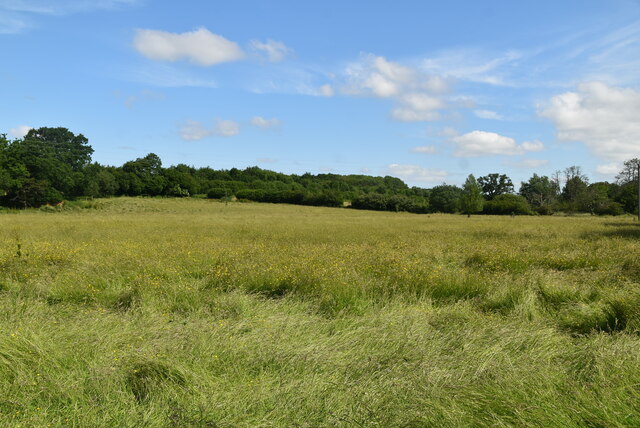
Isfield is a small village located in the Wealden district of East Sussex, England. Situated approximately 9 miles north of the county town of Lewes, it is surrounded by picturesque countryside and lies within the South Downs National Park. The village is home to a population of around 600 residents.

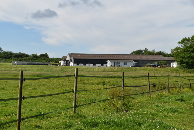
Isfield boasts a rich history, with evidence of human activity dating back to the Roman period. The village is mentioned in the Domesday Book of 1086, where it is referred to as "Isuluesfeld." Throughout the years, Isfield has remained largely agricultural, with farming playing a significant role in the local economy.

The village itself is characterized by charming traditional cottages, many of which are built with the distinctive Sussex flint. St. Margaret's Church, a Grade I listed building dating back to the 12th century, stands proudly in the heart of the village. The church is renowned for its beautiful stained glass windows and medieval architecture.

Isfield benefits from excellent transport links, being located just off the A26 road, which provides easy access to nearby towns such as Uckfield and Lewes. Isfield railway station, situated on the Uckfield branch line, offers regular services to London and other destinations.

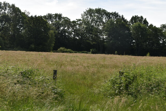
The village also boasts several amenities, including a village hall, a primary school, and a pub, providing a sense of community for residents and visitors alike. Isfield is surrounded by idyllic countryside, making it a popular destination for outdoor enthusiasts and nature lovers, with numerous walking and cycling routes to explore.

If you have any feedback on the listing, please let us know in the comments section below.
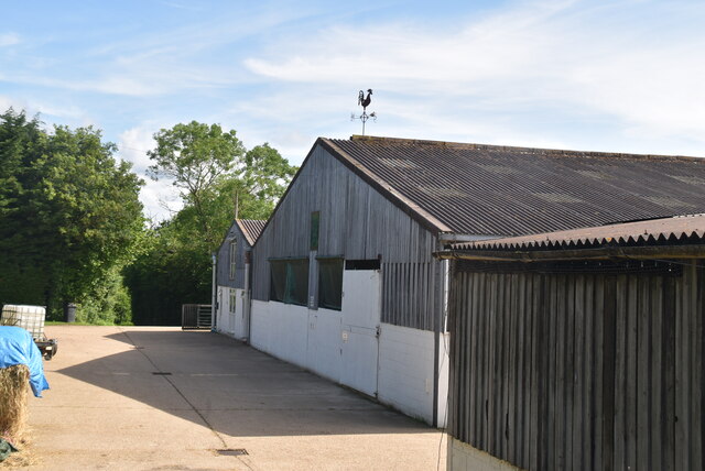
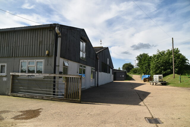
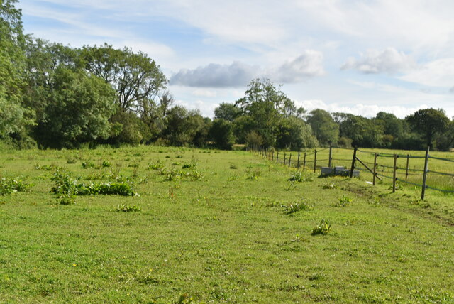
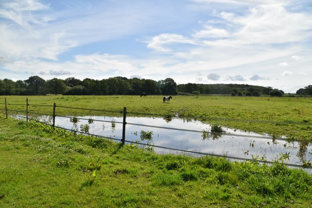
Isfield Images

Images are sourced within 2km of 50.940389/0.061583329 or Grid Reference TQ4417. Thanks to Geograph Open Source API. All images are credited.

The Oast House Single square kiln oast house.
The Oast House
Single square kiln oast house.
Isfield Village Hall Isfield lies just off the main A26 Uckfield to Lewes main road, and is well hidden in the Ouse valley. The Romans established a staging post in the village, near a ford across the Ouse, this was on a section of Ermine Street which ran from Newhaven to London, passing through Lewes and Isfield and Maresfield. The village was recorded as Sifelle in the Domesday book.
More info at <span class="nowrap"><a title="http://www.villagenet.co.uk/ashdownforest/villages/isfield.php" rel="nofollow ugc noopener" href="http://www.villagenet.co.uk/ashdownforest/villages/isfield.php">Link</a><img style="margin-left:2px;" alt="External link" title="External link - shift click to open in new window" src="https://s1.geograph.org.uk/img/external.png" width="10" height="10"/></span>
Isfield Village Hall
Isfield lies just off the main A26 Uckfield to Lewes main road, and is well hidden in the Ouse valley. The Romans established a staging post in the village, near a ford across the Ouse, this was on a section of Ermine Street which ran from Newhaven to London, passing through Lewes and Isfield and Maresfield. The village was recorded as Sifelle in the Domesday book. More info at LinkExternal link
Station Rd Isfield lies just off the main A26 Uckfield to Lewes main road, and is well hidden in the Ouse valley. The Romans established a staging post in the village, near a ford across the Ouse, this was on a section of Ermine Street which ran from Newhaven to London, passing through Lewes and Isfield and Maresfield. The village was recorded as Sifelle in the Domesday book.
More info at <span class="nowrap"><a title="http://www.villagenet.co.uk/ashdownforest/villages/isfield.php" rel="nofollow ugc noopener" href="http://www.villagenet.co.uk/ashdownforest/villages/isfield.php">Link</a><img style="margin-left:2px;" alt="External link" title="External link - shift click to open in new window" src="https://s1.geograph.org.uk/img/external.png" width="10" height="10"/></span>
Station Rd
Isfield lies just off the main A26 Uckfield to Lewes main road, and is well hidden in the Ouse valley. The Romans established a staging post in the village, near a ford across the Ouse, this was on a section of Ermine Street which ran from Newhaven to London, passing through Lewes and Isfield and Maresfield. The village was recorded as Sifelle in the Domesday book. More info at LinkExternal link
Track in Isfield
Track in Isfield
Faulkners
Faulkners
Pasture
Pasture
Tile Barn Farmhouse
Tile Barn Farmhouse
Tile Barn Farm
Tile Barn Farm
Tile Barn Farm
Tile Barn Farm
A green lane
A green lane
Grassy footpath
Grassy footpath
A small pond
A small pond
Tile Barn Farm
Tile Barn Farm
Meadow
Meadow
Meadow
Meadow
River Uck The River Uck is a river in East Sussex, which drains a catchment starting near Crowborough in the North, Hadlow Down to the East and Laughton Common to the South.It flows through the town of Uckfield and into the river Ouse about 3 miles north of Lewes. The river Uck also has a scenic walk alongside it. The river burst its banks in 2000, flooding much of Uckfield and the surrounding countryside.
River Uck
The River Uck is a river in East Sussex, which drains a catchment starting near Crowborough in the North, Hadlow Down to the East and Laughton Common to the South.It flows through the town of Uckfield and into the river Ouse about 3 miles north of Lewes. The river Uck also has a scenic walk alongside it. The river burst its banks in 2000, flooding much of Uckfield and the surrounding countryside.
Meadow by the River Uck
Show me another place!

Isfield is located at Grid Ref: TQ4417 (Lat: 50.940389, Lng: 0.061583329)

Administrative County: East Sussex

District: Wealden

Police Authority: Sussex

What 3 Words

///dorm.mirror.slugs. Near Uckfield, East Sussex

Related Wikis

Isfield railway station

Isfield is a preserved railway station on the closed section of the Wealden Line which served the East Sussex village of Isfield near Uckfield. Originally...
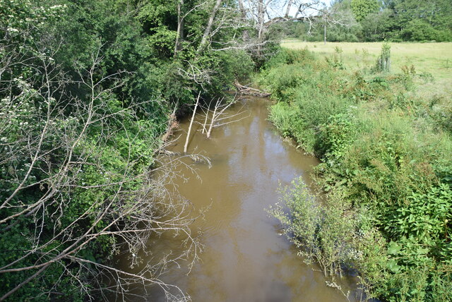
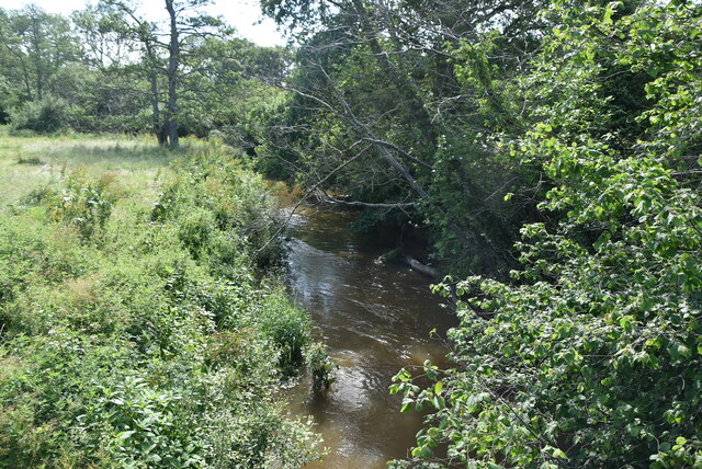
River Uck

The River Uck is a river in East Sussex, United Kingdom, which drains a catchment starting near Crowborough in the North, Hadlow Down to the East and Laughton...

Lavender Line

The Lavender Line is a heritage railway based at Isfield Station, near Uckfield in East Sussex, England. == History == The Lavender Line was originally...

Isfield

Isfield is a small village and civil parish in the Wealden District of East Sussex in England, located north-east of Lewes. == History == The village of...

Horsted Place

Horsted Place is a Tudor Revival country house, now a hotel, in Little Horsted, East Sussex, England. The current building dates to 1850, when it was built...

Little Horsted

Little Horsted (also known as Horsted Parva) is a village and civil parish in the Wealden district of East Sussex, England. It is located two miles (3...

Plashett Park Wood

Plashett Park Wood is a 157.6-hectare (389-acre) biological Site of Special Scientific Interest between Lewes and Uckfield in East Sussex.This ancient...

East Sussex National Golf Club

East Sussex National Golf Club is a golf course located near to Uckfield in East Sussex. It is considered one of the finer golf courses in the British...

Nearby Amenities

Located within 500m of 50.940389,0.061583329
Isfield
Place: village
Lat/Long: 50.9378705/0.0614389
Removed Amenity: telephone
Lat/Long: 50.9370422/0.0622471
Barrier: stile
Lat/Long: 50.9389503/0.0588835
Material: wood
Power: pole
Source: bing
Lat/Long: 50.9425191/0.0621735
Material: wood
Power: pole
Source: bing
Lat/Long: 50.9431797/0.0643653
Material: wood
Power: pole
Source: bing
Lat/Long: 50.943358/0.061503
Material: wood
Power: pole
Source: bing
Lat/Long: 50.9435485/0.0656443
Material: wood
Power: pole
Source: bing
Lat/Long: 50.9440149/0.0609991
Post Box
Operator: Royal Mail
Post Box Type: wall
Ref: TN22 87
Royal Cypher: EIIR
Royal Cypher Wikidata: Q33102113
Lat/Long: 50.9403336/0.0615502
Barrier: stile
Lat/Long: 50.9423442/0.0650368
Power: pole
Ref: 240701
Transformer: yes
Lat/Long: 50.9418169/0.0643013
Power: pole
Lat/Long: 50.9410523/0.0640347
Guyed: yes
Line Management: termination
Power: pole
Transformer: yes
Lat/Long: 50.9397521/0.0620733
Power: pole
Lat/Long: 50.940138/0.0637253
Power: pole
Ref: 240702
Lat/Long: 50.942555/0.0650383
Pole Type: branch
Power: pole
Lat/Long: 50.939416/0.0633992
Power: pole
Lat/Long: 50.9397545/0.0635526
Footpath Sign
Operator: East Sussex County Council
Tourism: information
Lat/Long: 50.940533/0.0631171
Bridleway
Information: guidepost
Note: Wealdon walks
Tourism: information
Lat/Long: 50.9378865/0.0611101
Addr City: Isfield
Addr Housename: Old Mill Barn
Addr Postcode: TN22 5XJ
Building: yes
Lat/Long: 50.9376342/0.0568892
Bridleway
Information: guidepost
Operator: East Sussex County Council
Tourism: information
Lat/Long: 50.9378147/0.0612318
Footpath
Information: guidepost
Tourism: information
Lat/Long: 50.9434126/0.0601567
Footpath Wealden Walks
Information: guidepost
Tourism: information
Lat/Long: 50.9424416/0.0592242
Footpath Wealden Walks
Information: guidepost
Operator: East Sussex County Council
Tourism: information
Lat/Long: 50.9389011/0.0588899
Footpath
Information: guidepost
Operator: East Sussex County Council
Tourism: information
Lat/Long: 50.9413485/0.0604096
Footpath
Information: guidepost
Tourism: information
Lat/Long: 50.94165/0.0619404
Footpath
Information: guidepost
Tourism: information
Lat/Long: 50.9419378/0.0627623
Footpath
Information: guidepost
Tourism: information
Lat/Long: 50.9410987/0.0613783
Generator Method: photovoltaic
Generator Orientation: 230
Generator Output Electricity: yes
Generator Solar Modules: 8
Generator Source: solar
Generator Type: solar_photovoltaic_panel
Location: roof
Power: generator
Lat/Long: 50.9363983/0.0626712
Generator Method: photovoltaic
Generator Orientation: 230
Generator Output Electricity: yes
Generator Solar Modules: 12
Generator Source: solar
Generator Type: solar_photovoltaic_panel
Location: roof
Power: generator
Lat/Long: 50.9361938/0.0629233
Bench
Lat/Long: 50.9397962/0.0669028
Bench
Lat/Long: 50.9397331/0.0669761
Type FW3/24
Building: bunker
Bunker Type: pillbox
Military: bunker
Lat/Long: 50.9441649/0.0600709
Barrier: stile
Lat/Long: 50.9405046/0.063171
The data included in this document is from www.openstreetmap.org. The data is made available under ODbL.

Have you been to Isfield?

Leave your review of Isfield below (or comments, questions and feedback).