Paygate Shaw
Wood, Forest in Sussex Lewes
England
Paygate Shaw
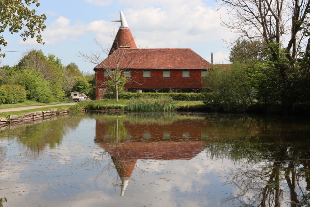
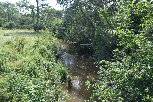
Paygate Shaw is a small woodland located in the county of Sussex, England. Situated near the village of Wood, this forested area is cherished for its natural beauty and peaceful atmosphere. Covering an area of approximately 200 acres, Paygate Shaw offers a tranquil retreat for nature enthusiasts and those seeking a respite from the hustle and bustle of daily life.
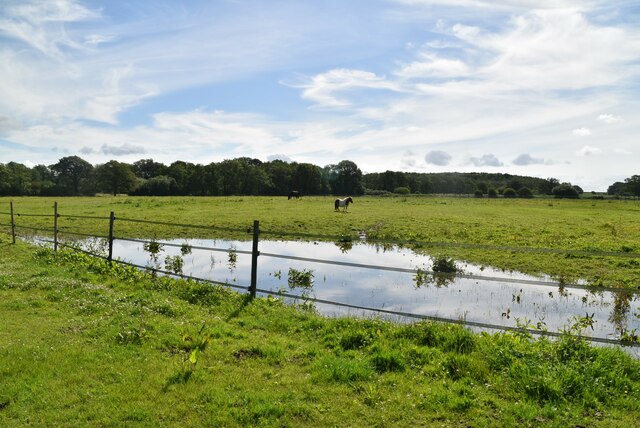
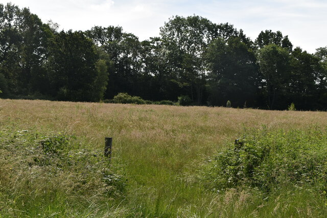
The woodland is characterized by a diverse range of tree species, including oak, beech, and birch, which create a rich and vibrant ecosystem. These trees provide a habitat for various wildlife species, such as birds, squirrels, and deer, making it a popular spot for birdwatchers and wildlife enthusiasts.
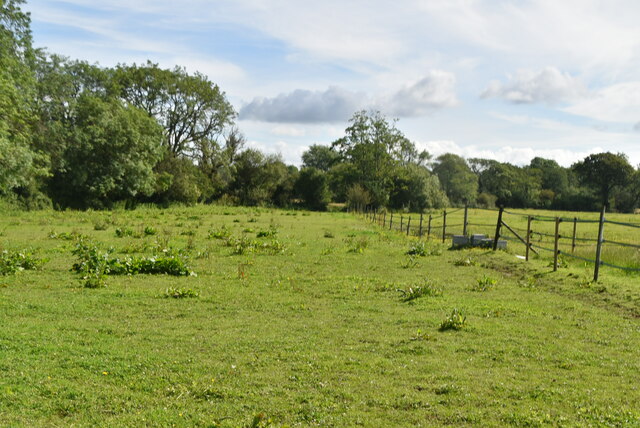
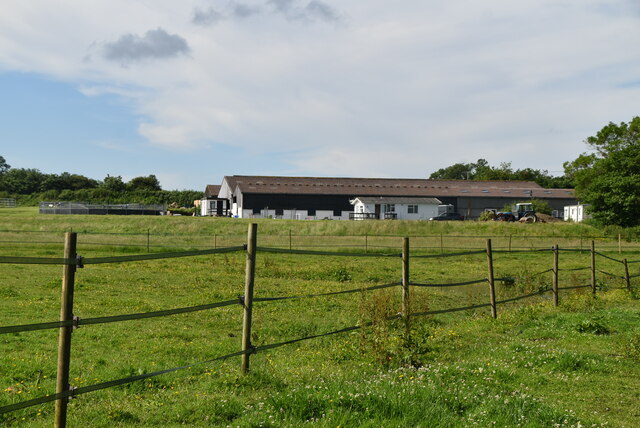
Visitors to Paygate Shaw can enjoy a number of recreational activities, including walking, hiking, and cycling. The forest is crisscrossed by a network of well-maintained trails, allowing visitors to explore the woodland at their own pace. There are also designated picnic areas where visitors can relax and enjoy a meal amidst the serene surroundings.
The management of Paygate Shaw is overseen by the local authorities, who work to maintain the woodland's natural integrity while also ensuring the safety and enjoyment of visitors. The forest is regularly maintained to preserve its biodiversity and prevent the spread of invasive species.
Overall, Paygate Shaw in Sussex offers a picturesque and tranquil setting for those seeking to connect with nature. Its diverse flora and fauna, coupled with its well-maintained trails and recreational facilities, make it a popular destination for individuals and families alike.
If you have any feedback on the listing, please let us know in the comments section below.
Paygate Shaw Images
Images are sourced within 2km of 50.940682/0.050578768 or Grid Reference TQ4417. Thanks to Geograph Open Source API. All images are credited.


Paygate Shaw is located at Grid Ref: TQ4417 (Lat: 50.940682, Lng: 0.050578768)
Administrative County: East Sussex
District: Lewes
Police Authority: Sussex
What 3 Words
///weekend.living.diplomas. Near Uckfield, East Sussex
Nearby Locations
Related Wikis

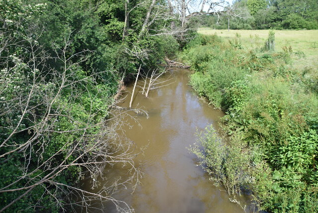
River Uck
The River Uck is a river in East Sussex, United Kingdom, which drains a catchment starting near Crowborough in the North, Hadlow Down to the East and Laughton...

Isfield railway station
Isfield is a preserved railway station on the closed section of the Wealden Line which served the East Sussex village of Isfield near Uckfield. Originally...

Lavender Line
The Lavender Line is a heritage railway based at Isfield Station, near Uckfield in East Sussex, England. == History == The Lavender Line was originally...

Isfield
Isfield is a small village and civil parish in the Wealden District of East Sussex in England, located north-east of Lewes. == History == The village of...

Barcombe Mills
Barcombe Mills is a small settlement and an area of countryside including a local nature reserve near the village of Barcombe Cross in East Sussex, England...

Horsted Place
Horsted Place is a Tudor Revival country house, now a hotel, in Little Horsted, East Sussex, England. The current building dates to 1850, when it was built...

Plashett Park Wood
Plashett Park Wood is a 157.6-hectare (389-acre) biological Site of Special Scientific Interest between Lewes and Uckfield in East Sussex.This ancient...

Little Horsted
Little Horsted (also known as Horsted Parva) is a village and civil parish in the Wealden district of East Sussex, England. It is located two miles (3...
Nearby Amenities
Located within 500m of 50.940682,0.050578768Have you been to Paygate Shaw?
Leave your review of Paygate Shaw below (or comments, questions and feedback).