Dane Hill

Hill, Mountain in Yorkshire Ribble Valley

England

Dane Hill

Calf Clough intake bridge
Calf Clough intake bridge Credit: shikari

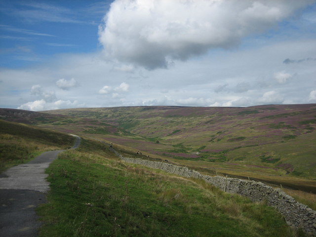
Dane Hill, located in the captivating county of Yorkshire, is a prominent hill that majestically rises above the surrounding landscape. Situated in the northern part of the county, this hill offers breathtaking panoramic views of the surrounding countryside and is a popular destination for nature enthusiasts and hikers alike.

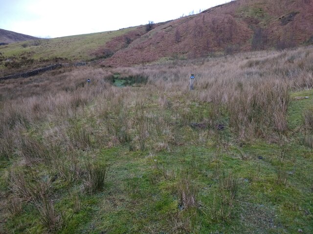
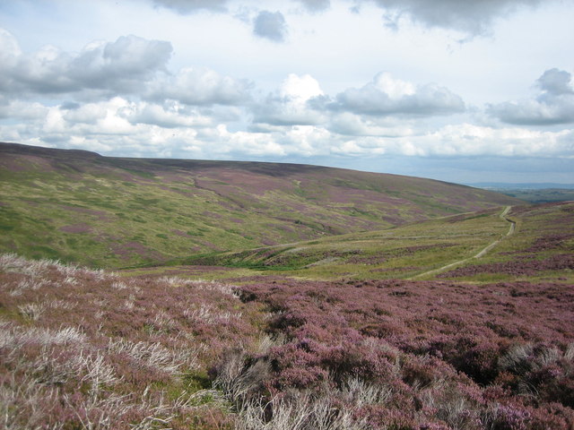
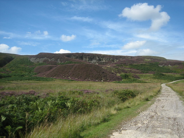
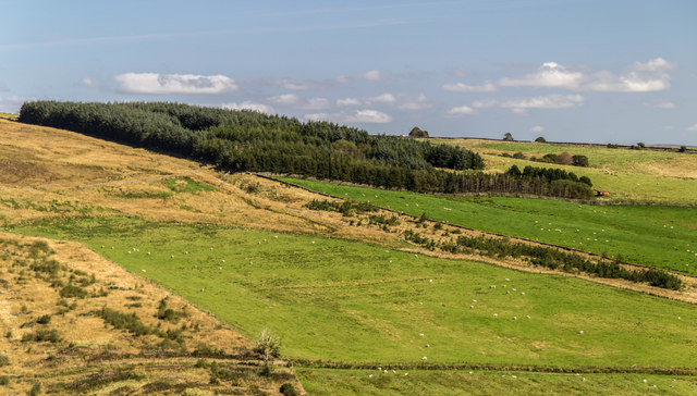
Reaching an elevation of approximately 300 meters, Dane Hill is characterized by its gentle slopes and verdant grasslands that are dotted with clusters of trees. The hill's unique geological composition consists mainly of limestone, which gives it its distinctive appearance and contributes to its ecological significance.

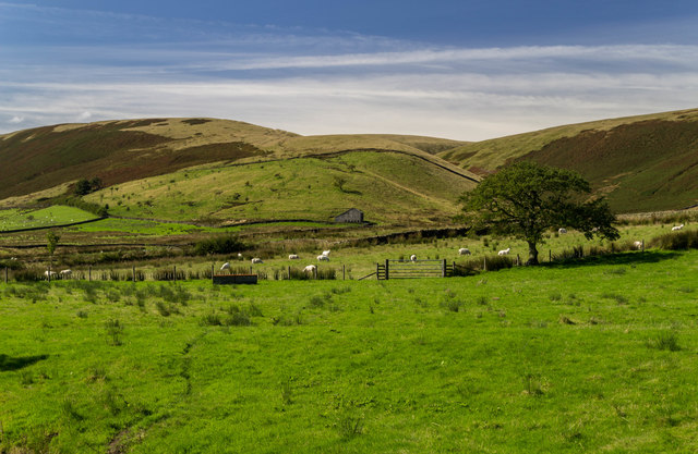
The hill is home to a diverse range of flora and fauna, making it an ideal habitat for numerous species of plants, birds, and mammals. Wildflowers such as bluebells and primroses blanket the hillside during the spring months, creating a picturesque scene. Birdwatchers can spot various species, including kestrels, buzzards, and peregrine falcons, soaring gracefully above the hill's slopes.

For those seeking outdoor adventures, Dane Hill offers a network of well-maintained trails and footpaths that crisscross the landscape, allowing visitors to explore its beauty up close. The hill's accessibility and well-marked routes make it suitable for individuals of all fitness levels.

Dane Hill's natural charm and tranquil atmosphere make it a cherished destination for locals and tourists alike. Whether one is seeking a peaceful retreat in nature or an opportunity to immerse themselves in the stunning Yorkshire countryside, Dane Hill provides an idyllic setting to escape the hustle and bustle of everyday life.

If you have any feedback on the listing, please let us know in the comments section below.
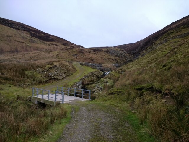
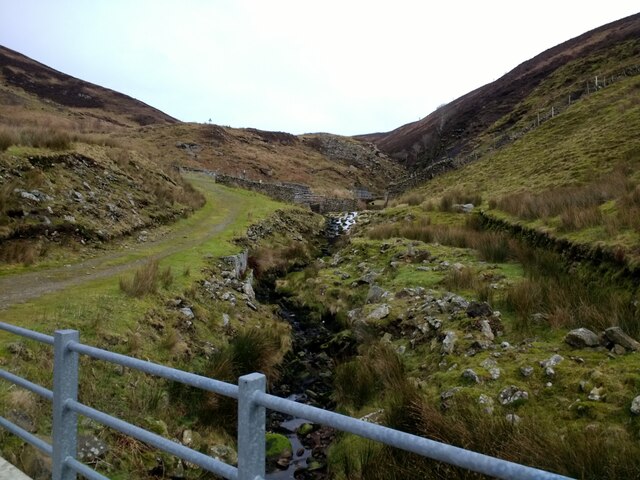
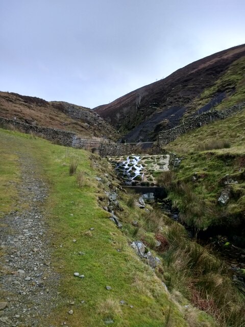
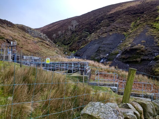
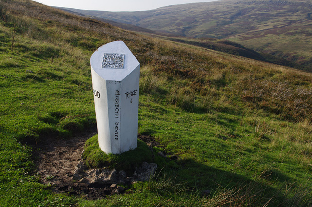
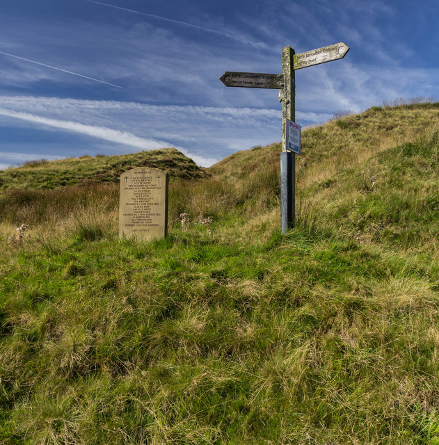
Dane Hill Images

Images are sourced within 2km of 53.995265/-2.4880002 or Grid Reference SD6855. Thanks to Geograph Open Source API. All images are credited.

Calf Clough intake bridge
Calf Clough intake from its bridge
Calf Clough intake overflow weir and riprap
Calf Clough intake
Calf Clough intake
Line of the pipeline north of Calf Clough
Calf Clough Bridge and Intake Farm track and access to United Utilites water intake from the Calf Clough stream near Whitendale Farm, Dunsop Bridge.
Calf Clough Bridge and Intake
Farm track and access to United Utilites water intake from the Calf Clough stream near Whitendale Farm, Dunsop Bridge.
Memorial to WW2 air crash victims A recently erected stone memorial (probably marking 70 years since the end of World War 2) to the victims of several military air crashes which occurred on the nearby fells of the Forest of Bowland. The memorial stone stands by the gate where the public minor road from Slaidburn becomes the Salters Way track across the moors to Hornby and Wray.
Memorial to WW2 air crash victims
A recently erected stone memorial (probably marking 70 years since the end of World War 2) to the victims of several military air crashes which occurred on the nearby fells of the Forest of Bowland. The memorial stone stands by the gate where the public minor road from Slaidburn becomes the Salters Way track across the moors to Hornby and Wray.
Croasdale and Fell End seen from the stone shelter View down Croasdale and across to Fell End, as seen from the stone shelter above the quarry. The Salters Way / Hornby Road track can be seen descending towards the Slaidburn area.
Croasdale and Fell End seen from the stone shelter
View down Croasdale and across to Fell End, as seen from the stone shelter above the quarry. The Salters Way / Hornby Road track can be seen descending towards the Slaidburn area.
Croasdale Quarry seen from the south-east The Croasdale quarry (at an elevation of approx 340m AOD), seen from the east from the Hornby Road track. The quarry has been disused since at least the 1960s, and heather and bracken are increasingly colonising the spoil heaps and softening the scars on the landscape.
Croasdale Quarry seen from the south-east
The Croasdale quarry (at an elevation of approx 340m AOD), seen from the east from the Hornby Road track. The quarry has been disused since at least the 1960s, and heather and bracken are increasingly colonising the spoil heaps and softening the scars on the landscape.
View up Croasdale from the Hornby Road The wild grandeur of Croasdale as first seen when turning the corner into the valley on the Hornby Road track, beyond the gates where motor vehicle access ends. I first saw, and was greatly impressed by, this view on 18 September 1975 and have returned several times since to enjoy the solitude and beauty of this valley.
View up Croasdale from the Hornby Road
The wild grandeur of Croasdale as first seen when turning the corner into the valley on the Hornby Road track, beyond the gates where motor vehicle access ends. I first saw, and was greatly impressed by, this view on 18 September 1975 and have returned several times since to enjoy the solitude and beauty of this valley.
Lancashire Witches Walk - Tercet 6 The Lancashire Witches Walk runs between Barrowford and Lancaster Castle, and was created to commemorate the 400th anniversary of the Lancashire Witches trial and hangings in 1612. Ten cast iron waymarkers created by Stephen Raw have been installed along the route. Each waymarker commemorates one of the "witches" (Elizabeth Device in this case), and is inscribed with one tercet of The Lancashire Witches poem by Carol Ann Duffy. See <a href="https://www.geograph.org.uk/photo/4256644">SD7152 : Tercet marker, Slaidburn</a> and <a href="https://www.geograph.org.uk/photo/4202978">SD5764 : Lancashire Witches Walk - Tercet 7</a>.
Lancashire Witches Walk - Tercet 6
The Lancashire Witches Walk runs between Barrowford and Lancaster Castle, and was created to commemorate the 400th anniversary of the Lancashire Witches trial and hangings in 1612. Ten cast iron waymarkers created by Stephen Raw have been installed along the route. Each waymarker commemorates one of the "witches" (Elizabeth Device in this case), and is inscribed with one tercet of The Lancashire Witches poem by Carol Ann Duffy. See SD7152 : Tercet marker, Slaidburn and SD5764 : Lancashire Witches Walk - Tercet 7.
Burn End Burn End Laithe at Burn End.
Burn End
Burn End Laithe at Burn End.
Low Fell Memorial stone and signpost at Low Fell.
Low Fell
Memorial stone and signpost at Low Fell.
Croasdale Plantations in Croasdale.
Croasdale
Plantations in Croasdale.
Croasdale Brook Sheep enclosures alongside Croasdale Brook.
Croasdale Brook
Sheep enclosures alongside Croasdale Brook.
Hind Slack Track at the foot of Hind Slack Rigg.
Hind Slack
Track at the foot of Hind Slack Rigg.
Black Brook Bridge crossing Black Brook.
Black Brook
Bridge crossing Black Brook.
Croasdale Fell Shooting hut on Croasdale Fell.
Croasdale Fell
Shooting hut on Croasdale Fell.
Show me another place!

Dane Hill is located at Grid Ref: SD6855 (Lat: 53.995265, Lng: -2.4880002)

Division: West Riding

Administrative County: Lancashire

District: Ribble Valley

Police Authority: Lancashire

What 3 Words

///lazy.pages.converged. Near Waddington, Lancashire

Nearby Locations

Dane Hill

Related Wikis

Geography of the United Kingdom

The United Kingdom is a sovereign state located off the north-western coast of continental Europe. With a total area of approximately 248,532 square kilometres...

White Hill (Forest of Bowland)

White Hill is a hill in the Forest of Bowland, north-western England. It lies between Slaidburn and High Bentham. The summit houses a tower and a trig...

Brennand Farm

Brennand Farm is often claimed to be the true centre of Great Britain. This is about seven kilometres north-west of Dunsop Bridge - which has the nearest...

King's House, Slaidburn

King's House is a Grade II listed building in Slaidburn, Lancashire, England, now used as a youth hostel. It was originally built in the 18th century,...

St Andrew's Church, Slaidburn

St Andrew's Church is in Church Street, Slaidburn, Lancashire, England. It is an active Anglican parish church in the deanery of Bowland, the archdeaconry...

Lancashire Witches Walk

The Lancashire Witches Walk is a 51-mile (82 km) long-distance footpath opened in 2012, between Barrowford and Lancaster, all in Lancashire, England. It...

Slaidburn

Slaidburn () is a village and civil parish within the Ribble Valley district of Lancashire, England. The parish covers just over 5,000 acres of the Forest...

Stocks Reservoir

Stocks Reservoir is a reservoir situated at the head of the Hodder valley in the Forest of Bowland, Lancashire, England (historically in the West Riding...

Have you been to Dane Hill?

Leave your review of Dane Hill below (or comments, questions and feedback).