Red Syke Hill
Hill, Mountain in Yorkshire Ribble Valley
England
Red Syke Hill

Red Syke Hill is a prominent hill located in the county of Yorkshire, England. Situated in the Yorkshire Dales National Park, it forms part of the Pennine range, offering awe-inspiring views and a challenging terrain for outdoor enthusiasts. Rising to an elevation of approximately 430 meters (1,410 feet), Red Syke Hill is considered to be one of the more accessible hills in the area, making it a popular destination for hikers and walkers of various skill levels.
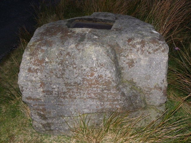
The hill derives its name from the nearby Red Syke, a small stream that flows through the valley. Its distinctive red hue is caused by the iron-rich soil found in the area. The hill itself is characterized by gently sloping grassy slopes, interspersed with rocky outcrops and crags, providing an interesting and diverse landscape.
At the summit of Red Syke Hill, visitors are rewarded with breathtaking panoramic views of the surrounding countryside. On a clear day, it is possible to see as far as the Yorkshire Three Peaks, a series of iconic peaks that include Pen-y-ghent, Whernside, and Ingleborough. The hill is also home to a variety of wildlife, including birds of prey such as kestrels and buzzards, and occasional sightings of larger mammals like deer.
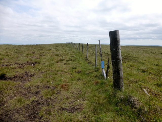
Red Syke Hill offers a range of walking routes, with options for both shorter, more leisurely strolls, as well as longer, more challenging hikes. There are well-defined paths and trails that wind their way up the hill, ensuring that visitors can explore the area safely. Whether it's for the breathtaking views, the diverse flora and fauna, or the sense of tranquility that comes with being immersed in nature, Red Syke Hill is a popular destination for outdoor enthusiasts seeking a memorable experience in the Yorkshire Dales.
If you have any feedback on the listing, please let us know in the comments section below.
Red Syke Hill Images
Images are sourced within 2km of 54.033353/-2.4885532 or Grid Reference SD6859. Thanks to Geograph Open Source API. All images are credited.


Red Syke Hill is located at Grid Ref: SD6859 (Lat: 54.033353, Lng: -2.4885532)
Division: West Riding
Administrative County: Lancashire
District: Ribble Valley
Police Authority: Lancashire
What 3 Words
///steaming.hobbyists.november. Near High Bentham, North Yorkshire
Nearby Locations
Related Wikis

White Hill (Forest of Bowland)
White Hill is a hill in the Forest of Bowland, north-western England. It lies between Slaidburn and High Bentham. The summit houses a tower and a trig...

Geography of the United Kingdom
The United Kingdom is a sovereign state located off the north-western coast of continental Europe. With a total area of approximately 248,532 square kilometres...

Brennand Farm
Brennand Farm is often claimed to be the true centre of Great Britain. This is about seven kilometres north-west of Dunsop Bridge - which has the nearest...

Wolfhole Crag
Wolfhole Crag is a lonely and seldom-visited hill in the Forest of Bowland in Lancashire, England. Its seclusion is due in part to its low profile and...

Church of the Good Shepherd, Tatham
The Church of the Good Shepherd is on Tatham Fell in Lancashire, England. It is an active Anglican parish church in the deanery of Tunstall, the archdeaconry...

Stocks Reservoir
Stocks Reservoir is a reservoir situated at the head of the Hodder valley in the Forest of Bowland, Lancashire, England (historically in the West Riding...

Great Stone of Fourstones
The Great Stone of Fourstones, or the Big Stone as it is known locally, is a glacial deposit on the moorlands of Tatham Fells, England, straddling the...

Easington, Lancashire
Easington () is a civil parish within the Ribble Valley district of Lancashire, England, with a population in 2001 of 52. The Census 2011 population details...
Nearby Amenities
Located within 500m of 54.033353,-2.4885532Have you been to Red Syke Hill?
Leave your review of Red Syke Hill below (or comments, questions and feedback).