Hill of Kennerty
Hill, Mountain in Kincardineshire
Scotland
Hill of Kennerty
The Hill of Kennerty is a prominent geographical feature located in Kincardineshire, Scotland. Situated approximately 2 miles east of Stonehaven, it is a well-known hill that offers breathtaking panoramic views of the surrounding landscape. With an elevation of 208 meters (682 feet), it is considered more of a hill than a mountain.
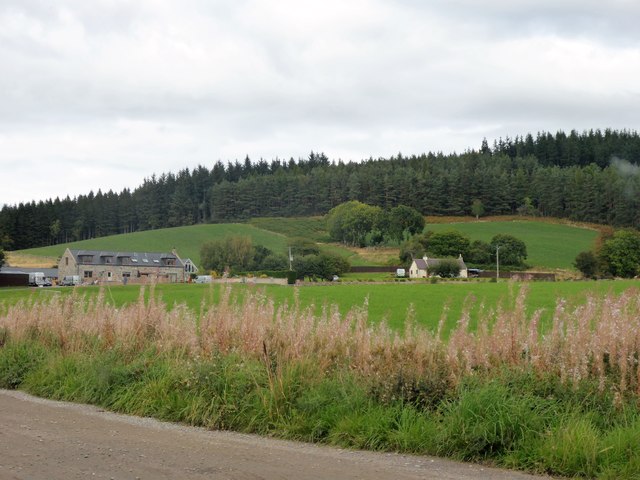
Covered in lush green vegetation, the Hill of Kennerty is a popular destination for outdoor enthusiasts and nature lovers. The hill is home to a variety of plant and animal species, including heather, gorse, and birds such as skylarks and meadow pipits. The diverse flora and fauna make it an ideal spot for wildlife enthusiasts and birdwatchers.
The hill is accessible via several walking trails, allowing visitors to explore its beauty at their own pace. The ascent is gradual and not particularly challenging, making it suitable for people of all fitness levels. At the summit, visitors are rewarded with breathtaking views of the North Sea, the town of Stonehaven, and the surrounding countryside.
The Hill of Kennerty also has historical significance. It is believed to have been a site of ancient settlements, with archaeological evidence suggesting human activity in the area dating back thousands of years. The remains of fortifications and stone circles can be found in the vicinity, further adding to its historical charm.
Overall, the Hill of Kennerty is a captivating destination that offers a perfect blend of natural beauty, outdoor recreation, and historical significance. Whether it's for a leisurely walk, birdwatching, or exploring the area's rich history, this hill has something to offer for everyone.
If you have any feedback on the listing, please let us know in the comments section below.
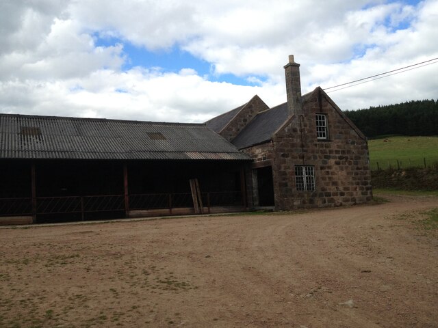
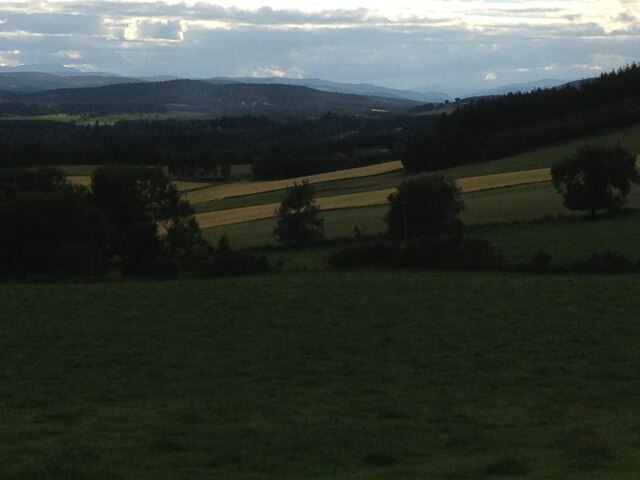
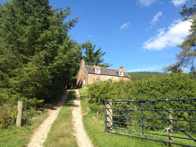
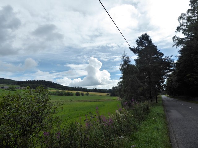
Hill of Kennerty Images
Images are sourced within 2km of 57.093948/-2.53264 or Grid Reference NJ6700. Thanks to Geograph Open Source API. All images are credited.


Hill of Kennerty is located at Grid Ref: NJ6700 (Lat: 57.093948, Lng: -2.53264)
Unitary Authority: Aberdeenshire
Police Authority: North East
What 3 Words
///spaces.stress.drummers. Near Banchory, Aberdeenshire
Nearby Locations
Related Wikis

Cluny Crichton Castle
Cluny Crichton Castle (also known as Clounie Crighton Castle) is a ruined 3-story tower house on the southern slopes of the Hill of Fare in Aberdeenshire...

Raemoir House
Raemoir House is a Category B listed Georgian mansion house located in Banchory, Aberdeenshire, Scotland. Its origins date back to the Ha'Hoose (Hall House...

Beltie Burn
The Beltie Burn is a burn in Aberdeenshire, Scotland, which below Torphins and Glassel is known as the Burn of Canny. It begins in the hill of Benaquhallie...

Hill of Fare
The Hill of Fare is a small hill in Aberdeenshire, Scotland. It is located about 5 km (3 miles) northeast of the village of Torphins. The hill is long...

Brathens
Brathens is a village in Aberdeenshire, Scotland. == References ==

Glassel railway station
Glassel railway station is a disused railway station in Britain. It served Glassel House, the Mill of Beltie and the local farms and the inhabitants of...

Glen o' Dee Hospital
Glen o' Dee Hospital is situated in the west end of Banchory, Aberdeenshire, Scotland. It is a small community hospital that provides services for the...

Banchory Town Hall
Banchory Town Hall is a municipal structure in the High Street, Banchory, Aberdeenshire, Scotland. The structure is primarily used as a community events...
Nearby Amenities
Located within 500m of 57.093948,-2.53264Have you been to Hill of Kennerty?
Leave your review of Hill of Kennerty below (or comments, questions and feedback).