Black Rigg
Hill, Mountain in Northumberland
England
Black Rigg

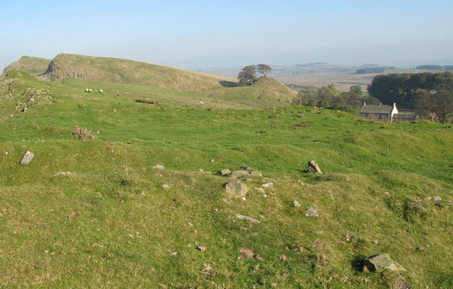
Black Rigg is a prominent hill located in the county of Northumberland, England. Rising to an elevation of approximately 563 meters (1,847 feet), it is considered one of the most notable landmarks in the area. Situated near the village of Coanwood, Black Rigg can be found within the North Pennines Area of Outstanding Natural Beauty.
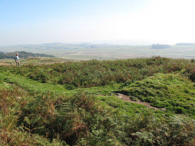
The hill is characterized by its distinctive shape, featuring a rounded summit and steep slopes covered in grass and heather. It offers breathtaking panoramic views of the surrounding countryside, including the nearby Tyne Valley and the Northumberland National Park. On clear days, it is even possible to catch a glimpse of the Cheviot Hills to the north.
Black Rigg is a favorite destination for hikers and outdoor enthusiasts, offering various walking routes to suit different abilities. The ascent to the summit is relatively easy, with well-defined paths leading through the grassy slopes. The hill provides an excellent opportunity for birdwatching, with many species of birds, including curlews and red grouse, being commonly spotted in the area.
The surrounding landscape is rich in history and wildlife, with ancient settlements, burial mounds, and evidence of mining activity from the past. The hill is also part of the North Pennines Dark Sky Reserve, making it a fantastic location for stargazing and experiencing the wonders of the night sky.
In summary, Black Rigg is a picturesque hill in Northumberland, offering stunning views, diverse wildlife, and a wealth of outdoor activities for visitors to enjoy.
If you have any feedback on the listing, please let us know in the comments section below.
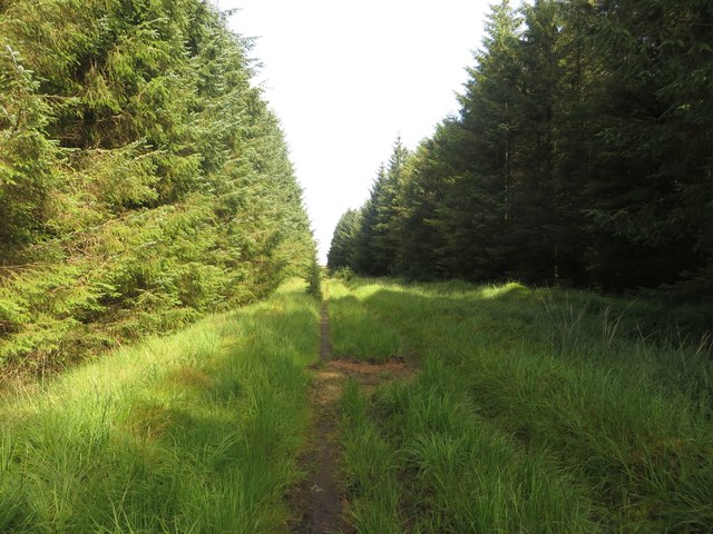
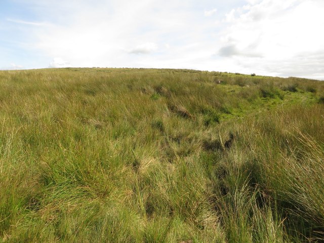
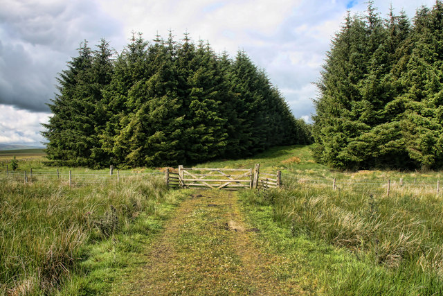
Black Rigg Images
Images are sourced within 2km of 55.018986/-2.5047717 or Grid Reference NY6769. Thanks to Geograph Open Source API. All images are credited.


Black Rigg is located at Grid Ref: NY6769 (Lat: 55.018986, Lng: -2.5047717)
Unitary Authority: Northumberland
Police Authority: Northumbria
What 3 Words
///bagpipes.hurray.surveyed. Near Greenhead, Northumberland
Nearby Locations
Related Wikis

Northumbria
Northumbria (; Old English: Norþanhymbra rīċe; Latin: Regnum Northanhymbrorum) was an early medieval Anglo-Saxon kingdom in what is now Northern England...

Allolee to Walltown
Allolee to Walltown is the name given to a Site of Special Scientific Interest (SSSI) in Northumberland, England. The site, which follows the path of a...
Milecastle 44
Milecastle 44 (Allolee) was a milecastle on Hadrian's Wall (grid reference NY68886694). == Description == Milecastle 44 is located about 1.5 kilometres...
Milecastle 45
Milecastle 45 (Walltown) was a milecastle on Hadrian's Wall (grid reference NY67716657). == Description == Milecastle 45 is on the top of Walltown Crags...
Nearby Amenities
Located within 500m of 55.018986,-2.5047717Have you been to Black Rigg?
Leave your review of Black Rigg below (or comments, questions and feedback).