Isallt Bach
Settlement in Anglesey
Wales
Isallt Bach
The requested URL returned error: 429 Too Many Requests
If you have any feedback on the listing, please let us know in the comments section below.
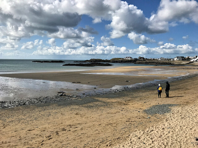
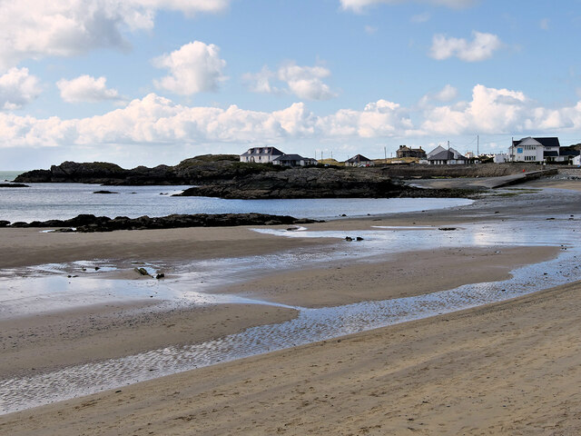
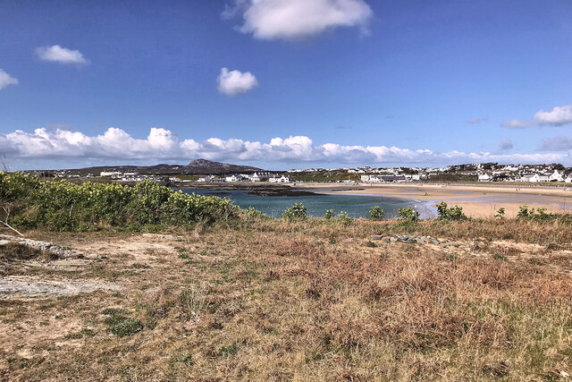
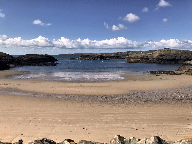
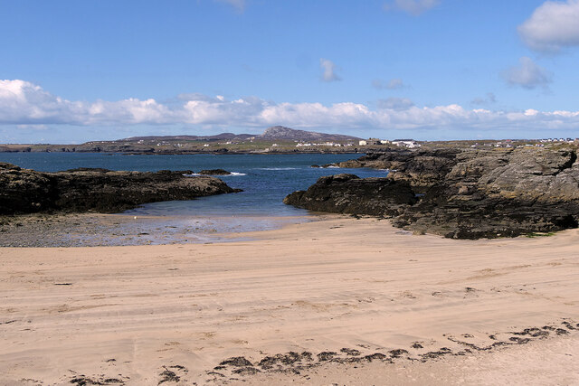
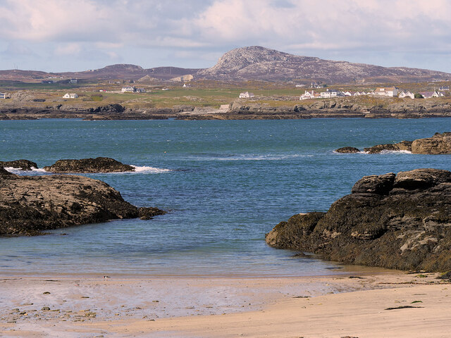
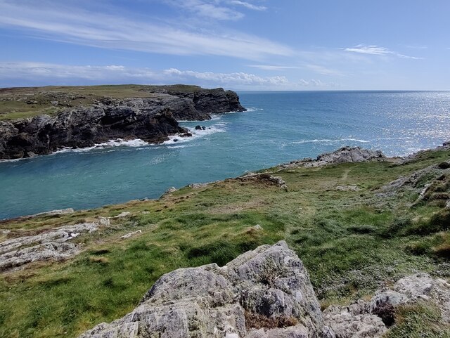
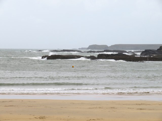
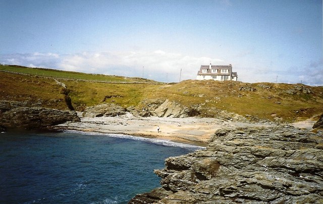
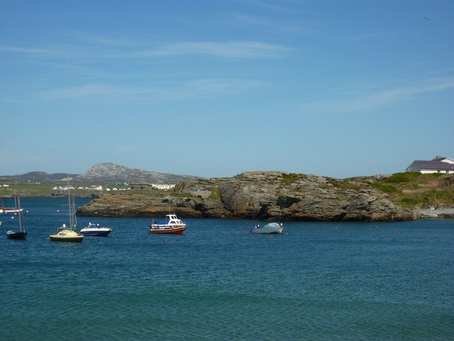
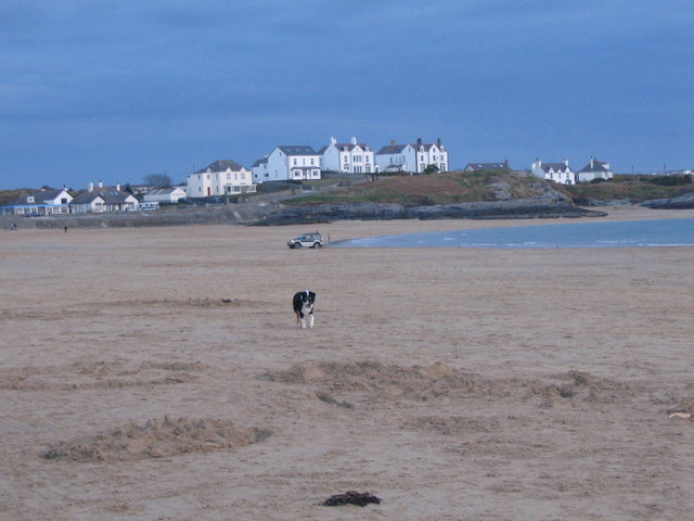
Isallt Bach Images
Images are sourced within 2km of 53.279015/-4.6262397 or Grid Reference SH2579. Thanks to Geograph Open Source API. All images are credited.


Isallt Bach is located at Grid Ref: SH2579 (Lat: 53.279015, Lng: -4.6262397)
Unitary Authority: Isle of Anglesey
Police Authority: North Wales
What 3 Words
///reminder.minimums.after. Near Holyhead, Isle of Anglesey
Nearby Locations
Related Wikis
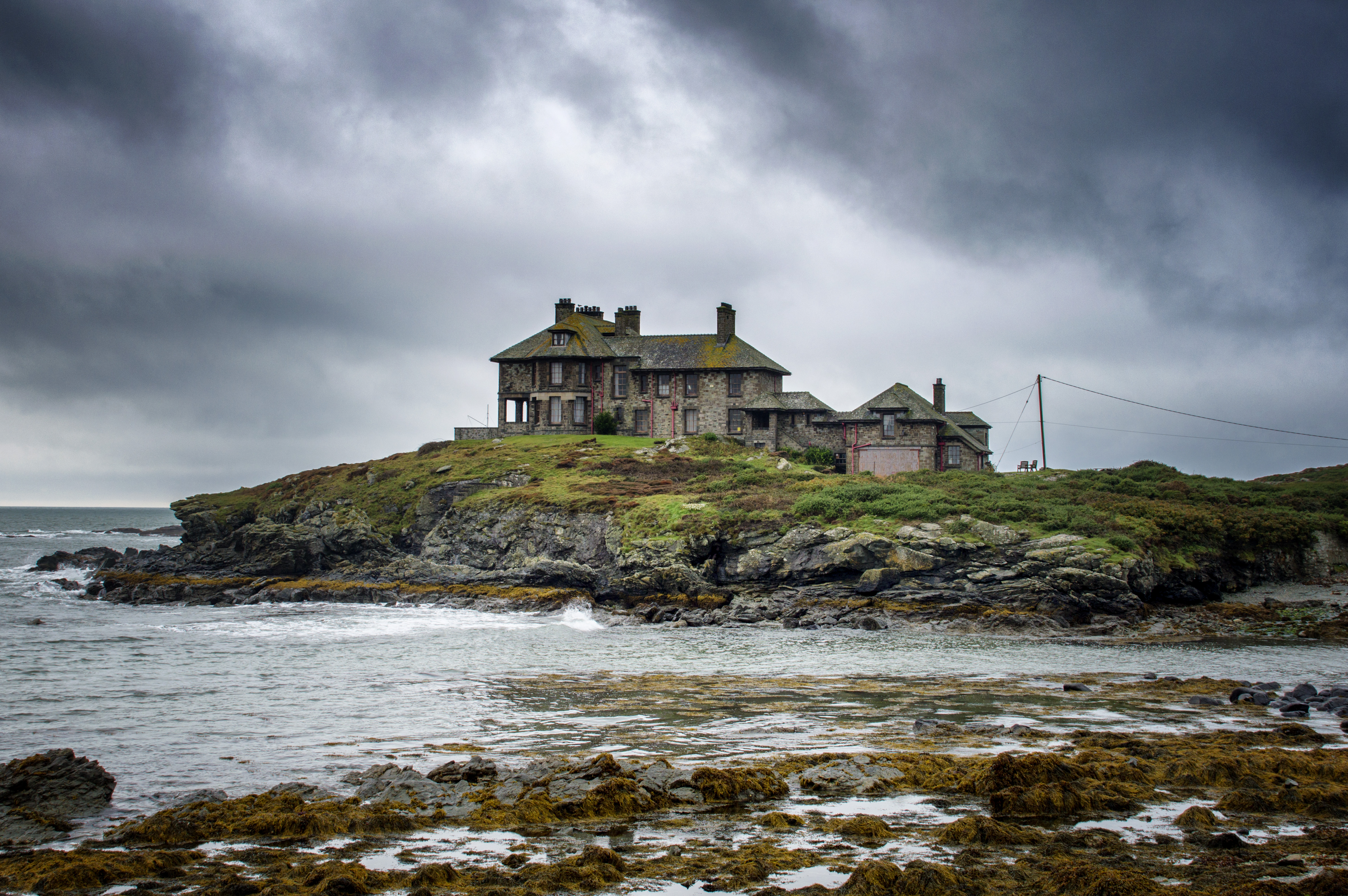
Craig y Mor
Craig y Mor is a house overlooking Treaddur Bay on Anglesey, Wales. The house dates from the early 20th century and has always been privately owned. It...

Isallt Bach
Isallt Bach is a hamlet in the community of Trearddur, Anglesey, Wales, which is 138.7 miles (223.3 km) from Cardiff and 225.8 miles (363.4 km) from London...
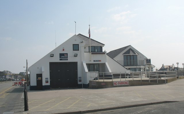
Trearddur Bay Lifeboat Station
Trearddur Bay Lifeboat Station is located in Trearddur, Anglesey, Wales and opened in 1967 as an inshore lifeboat station.The station currently operates...
Trearddur
Trearddur or Trearddur Bay (Welsh: Bae Trearddur) is a village, seaside resort and community south of Holyhead on the west coast of Holy Island off the...
Nearby Amenities
Located within 500m of 53.279015,-4.6262397Have you been to Isallt Bach?
Leave your review of Isallt Bach below (or comments, questions and feedback).