Gold Hill

Hill, Mountain in Herefordshire

England

Gold Hill

The detached tower at Bosbury
The detached tower at Bosbury Credit: mym

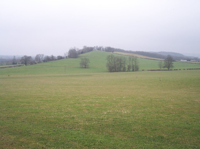
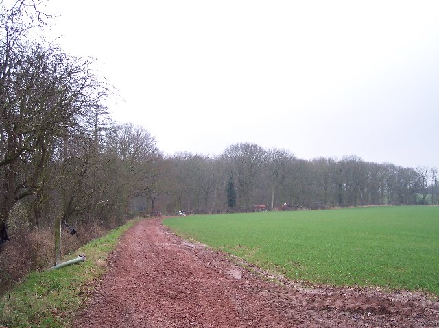
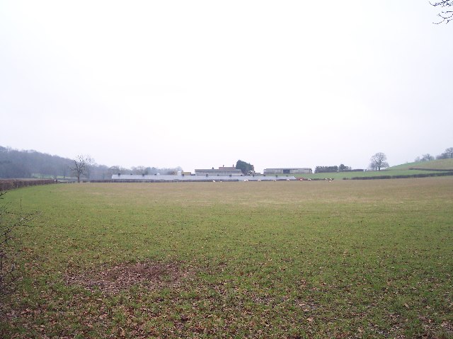
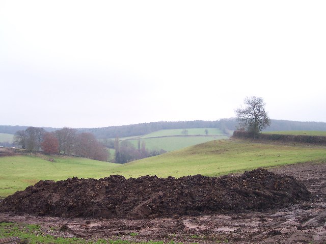
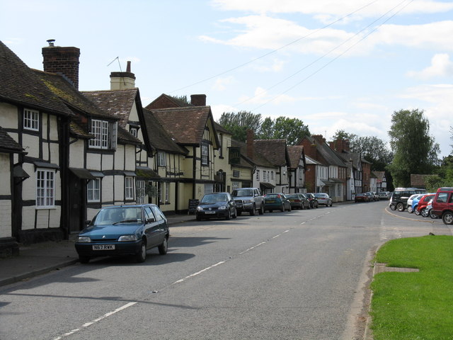
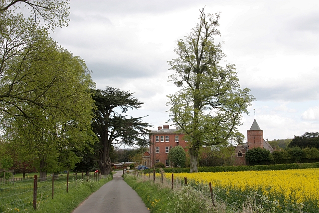
Gold Hill is a picturesque hill located in Herefordshire, a county in the West Midlands region of England. Situated near the village of Dorstone, it is a prominent landmark in the area and offers stunning panoramic views of the surrounding countryside.

With an elevation of approximately 335 meters (1,099 feet), Gold Hill is often referred to as a hill rather than a mountain due to its modest height. However, what it lacks in height, it more than makes up for in natural beauty. Covered in lush greenery, the hill is particularly enchanting during the spring and summer months when wildflowers bloom, creating a vibrant and colorful landscape.

Gold Hill is a popular destination for outdoor enthusiasts and nature lovers. Its gentle slopes and well-marked trails make it an ideal location for hiking and walking, offering visitors the opportunity to explore the area's diverse flora and fauna. The hill is also home to an abundance of wildlife, including various bird species, rabbits, and deer.

At the summit of Gold Hill, an ancient hillfort can be found, which is believed to date back to the Iron Age. The remains of the fort consist of earthen ramparts and ditches, providing a glimpse into the region's rich history.

Overall, Gold Hill in Herefordshire is a captivating natural landmark that offers both recreational activities and historical significance, making it a must-visit destination for those seeking to immerse themselves in the beauty of the English countryside.

If you have any feedback on the listing, please let us know in the comments section below.
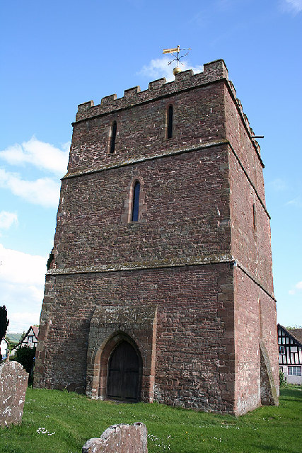
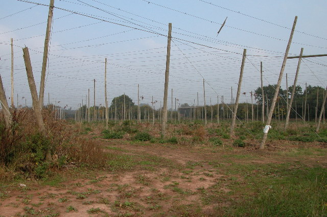
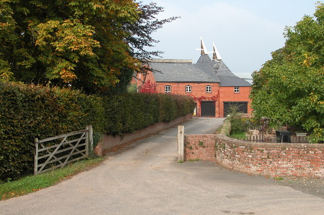
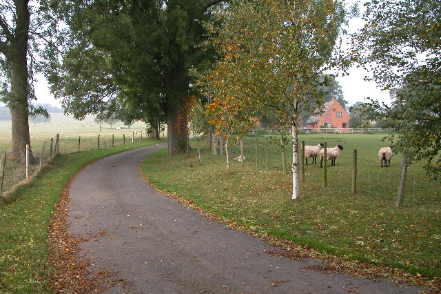
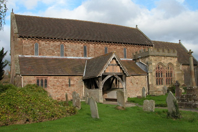
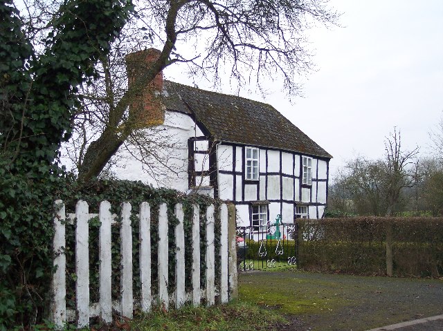
Gold Hill Images

Images are sourced within 2km of 52.092489/-2.4742153 or Grid Reference SO6743. Thanks to Geograph Open Source API. All images are credited.

The detached tower at Bosbury
Hop field at Cold Green Hop fields such as this are a common sight in Herefordshire.
Hop field at Cold Green
Hop fields such as this are a common sight in Herefordshire.
Hop kilns at Coldgreen Farm
Driveway leading to Upleadon Farm
The Hill, Castle Frome The Malvern Hills can be seen in the distance.
The Hill, Castle Frome
The Malvern Hills can be seen in the distance.
Entrance to property near Fromes Hill Entrance to property off the road from Fromes Hill to Bosbury.
Entrance to property near Fromes Hill
Entrance to property off the road from Fromes Hill to Bosbury.
Old barns at Catley Farms, Bosbury
Holy Trinity Church, Bosbury The church is unusual in that the tower is detached from the church. Pevsner describes the church as being 'A large and consistent church of the transition between Norman and Early English'.
Holy Trinity Church, Bosbury
The church is unusual in that the tower is detached from the church. Pevsner describes the church as being 'A large and consistent church of the transition between Norman and Early English'.
Long Acre With an old orchard with possibly more mistletoe than apples.
Long Acre
With an old orchard with possibly more mistletoe than apples.
Newly-Laid Hedge, Catley Farms Just recently laid. The cuttings were still piled up by the roadside.
Newly-Laid Hedge, Catley Farms
Just recently laid. The cuttings were still piled up by the roadside.
Un-named Knoll near Redcastle Farm Viewed from the side of Gold Hill looking SW across pasture.
Un-named Knoll near Redcastle Farm
Viewed from the side of Gold Hill looking SW across pasture.
Highlea Wood Looking SE along the access track.
Highlea Wood
Looking SE along the access track.
Old Buildings, Great Catley Ripe for conversion ? a nice mixture of stone, brick and timber.
Old Buildings, Great Catley
Ripe for conversion ? a nice mixture of stone, brick and timber.
Great Catley Mixture of half-timbered front with a brick side.
Great Catley
Mixture of half-timbered front with a brick side.
Edge of Childer Wood Looking NNW along the edge of the wood.
Edge of Childer Wood
Looking NNW along the edge of the wood.
Redcastle Farm Viewed from the west from near the corner of Childer Wood.
Redcastle Farm
Viewed from the west from near the corner of Childer Wood.
Dung Hill for Muck Spreading Looking east from the gate to Shinscroft Farm. muck spreading has already started at the higher slopes of the field.
Dung Hill for Muck Spreading
Looking east from the gate to Shinscroft Farm. muck spreading has already started at the higher slopes of the field.
New and Old Birchend Farms Viewed from the west across the square from the bridleway from Childer wood to millend.
New and Old Birchend Farms
Viewed from the west across the square from the bridleway from Childer wood to millend.
Show me another place!

Gold Hill is located at Grid Ref: SO6743 (Lat: 52.092489, Lng: -2.4742153)

Unitary Authority: County of Herefordshire

Police Authority: West Mercia

What 3 Words

///unzipped.being.display. Near Evesbatch, Herefordshire

Related Wikis

Upleadon Preceptory

Upleadon Preceptory was a priory in Herefordshire, England at grid reference SO66504270. == References ==

Bosbury

Bosbury is a village and civil parish in Herefordshire, England, approximately 3.5 miles (5.6 km) north of Ledbury. The small River Leadon flows through...

Fromes Hill

Fromes Hill is a hamlet in the civil parish of Bishop's Frome, in Herefordshire, England, and is about 15 miles (24 km) east from the city and county town...

Canon Frome

Canon Frome is a hamlet and small rural parish on the River Frome, 5 miles northwest of Ledbury, Herefordshire, England with a population of 139. Its most...

Nearby Amenities

Located within 500m of 52.092489,-2.4742153
Bus Stop
Stanley Hill
Naptan AtcoCode: 2090A104900
Naptan Bearing: SE
Naptan BusStopType: CUS
Naptan CommonName: Stanley Hill
Naptan Indicator: adj
Naptan Landmark: opp Holly Mount Farm
Naptan NaptanCode: heradmpd
Naptan Street: B4214
Naptan Verified: no
Source: naptan_import
Lat/Long: 52.0950467/-2.4774848
Bus Stop
Stanley Hill
Naptan AtcoCode: 2090A19735
Naptan Bearing: NW
Naptan BusStopType: CUS
Naptan CommonName: Stanley Hill
Naptan Indicator: opp
Naptan Landmark: Holly Mount Farm
Naptan NaptanCode: heramjdw
Naptan Street: B4214
Naptan Verified: no
Source: naptan_import
Lat/Long: 52.0949918/-2.477552
Post Box
Description: I think this might be the Stanley Hill Box.
On the left going uphill (W), in wall of an ex-Barn
Post Box Type: wall
Royal Cypher: VR
Royal Cypher Wikidata: Q33102356
Lat/Long: 52.0932139/-2.4737508
Gold Hill
Place: locality
Source: OS_OpenData_StreetView
Lat/Long: 52.0927832/-2.4742183
Oast house
Lat/Long: 52.0948517/-2.4719413
Gold Hill
Power: pole
Source: bing
Transformer: distribution
Voltage Primary: 11000
Lat/Long: 52.0925124/-2.4689271
Power: pole
Source: bing
Lat/Long: 52.0927967/-2.4701348
Power: pole
Source: bing
Lat/Long: 52.093006/-2.4709636
Power: pole
Source: bing
Lat/Long: 52.0939667/-2.4725434
Power: pole
Source: bing
Lat/Long: 52.0934526/-2.4717227
Power: pole
Source: bing
Lat/Long: 52.0912691/-2.4739596
Power: pole
Source: bing
Lat/Long: 52.0904727/-2.4767163
Power: pole
Source: bing
Lat/Long: 52.0905918/-2.4756494
Power: pole
Source: bing
Lat/Long: 52.0907022/-2.4745524
Power: pole
Source: bing
Lat/Long: 52.0917206/-2.4734902
Power: pole
Source: bing
Lat/Long: 52.0921441/-2.473045
Power: pole
Source: bing
Lat/Long: 52.092739/-2.472471
Power: pole
Lat/Long: 52.0901913/-2.4801663
Power: pole
Lat/Long: 52.0902473/-2.4789794
Power: pole
Lat/Long: 52.0903363/-2.4780513
Gold Hill Farm
Power: pole
Transformer: distribution
Voltage Primary: 11000
Lat/Long: 52.0908521/-2.4724549
Power: pole
Lat/Long: 52.0910763/-2.4732421
Power: pole
Lat/Long: 52.0922702/-2.4678254
Power: pole
Lat/Long: 52.0965011/-2.4766418
Rose Mount
Power: pole
Transformer: distribution
Voltage Primary: 11000
Lat/Long: 52.0955874/-2.4778904
Power: pole
Lat/Long: 52.0957476/-2.4772768
Power: pole
Lat/Long: 52.0960883/-2.4759733
Power: pole
Lat/Long: 52.0959845/-2.4757909
Power: pole
Lat/Long: 52.0947412/-2.4737786
Power: pole
Lat/Long: 52.0953554/-2.474779
Stanley Hill
Power: pole
Transformer: distribution
Voltage Primary: 11000
Lat/Long: 52.094356/-2.4731523
The data included in this document is from www.openstreetmap.org. The data is made available under ODbL.

Have you been to Gold Hill?

Leave your review of Gold Hill below (or comments, questions and feedback).