Kitley Hill

Hill, Mountain in Somerset

England

Kitley Hill

Pit Wheel in Radstock The Pit Wheel monument in Radstock, photographed from the end of the Greenway, across Bath New Road A367.
The Colliers Way NCN24 starts by the wheel.
Pit Wheel in Radstock Credit: Kevin Pearson

Kitley Hill is a prominent natural feature located in Somerset, England. Situated in the Mendip Hills, it forms part of the picturesque landscape of this region. Rising to an elevation of around 200 meters (656 feet), Kitley Hill offers stunning panoramic views of the surrounding countryside.

The hill is covered in lush green vegetation, with patches of dense woodland and open grassland. It is home to a diverse range of flora and fauna, including various species of wildflowers, birds, and small mammals. The hill's rich biodiversity attracts nature enthusiasts and hikers who enjoy exploring its tranquil trails.

Kitley Hill is a popular destination for outdoor activities such as walking, hiking, and picnicking. There are several well-maintained footpaths and bridleways that allow visitors to explore the hill and its surroundings. The hill offers a moderate challenge for climbers and offers an excellent vantage point to admire the surrounding landscape.

Apart from its natural beauty, Kitley Hill also holds historical significance. It is believed to have been a site of human activity dating back to prehistoric times, as evidenced by the presence of ancient burial mounds in the area. The hill's historical importance attracts archaeologists and history enthusiasts who are keen to uncover its secrets.

Overall, Kitley Hill is a remarkable natural landmark in Somerset, offering a perfect blend of natural beauty, recreational opportunities, and historical interest. Its scenic vistas and tranquil ambiance make it a must-visit destination for both locals and tourists alike.

If you have any feedback on the listing, please let us know in the comments section below.
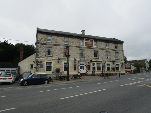
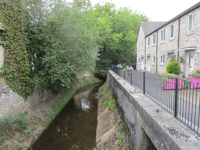
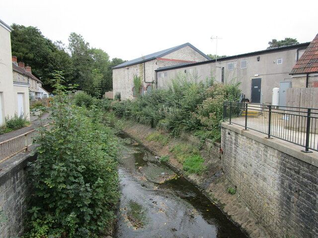
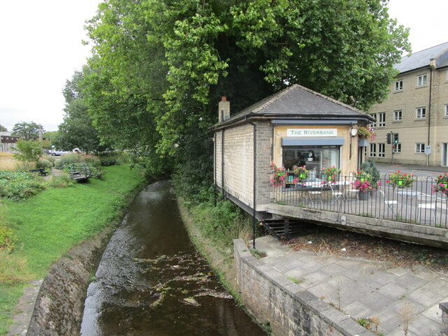
Kitley Hill Images

Images are sourced within 2km of 51.298684/-2.4666889 or Grid Reference ST6755. Thanks to Geograph Open Source API. All images are credited.

Pit Wheel in Radstock The Pit Wheel monument in Radstock, photographed from the end of the Greenway, across Bath New Road A367.
The Colliers Way NCN24 starts by the wheel.
Pit Wheel in Radstock
The Pit Wheel monument in Radstock, photographed from the end of the Greenway, across Bath New Road A367. The Colliers Way NCN24 starts by the wheel.
Abandoned Co-op supermarket, Radstock The largest building in the centre of Radstock, now abandoned and replaced by a smaller store nearby.
Abandoned Co-op supermarket, Radstock
The largest building in the centre of Radstock, now abandoned and replaced by a smaller store nearby.
The Waldegrave Arms Hotel, Radstock Early nineteenth century hotel <span class="nowrap"><a title="https://historicengland.org.uk/listing/the-list/list-entry/1115174" rel="nofollow ugc noopener" href="https://historicengland.org.uk/listing/the-list/list-entry/1115174">Link</a><img style="margin-left:2px;" alt="External link" title="External link - shift click to open in new window" src="https://s1.geograph.org.uk/img/external.png" width="10" height="10"/></span>
The Waldegrave Arms Hotel, Radstock
Early nineteenth century hotel LinkExternal link
Flats, Waterloo Road, Radstock
Radstock Museum The former Radstock Market Hall dating from 1897 <span class="nowrap"><a title="https://historicengland.org.uk/listing/the-list/list-entry/1136837" rel="nofollow ugc noopener" href="https://historicengland.org.uk/listing/the-list/list-entry/1136837">Link</a><img style="margin-left:2px;" alt="External link" title="External link - shift click to open in new window" src="https://s1.geograph.org.uk/img/external.png" width="10" height="10"/></span>
Radstock Museum
The former Radstock Market Hall dating from 1897 LinkExternal link
Radstock Museum The former Radstock Market Hall of 1897 <span class="nowrap"><a title="https://historicengland.org.uk/listing/the-list/list-entry/1136837" rel="nofollow ugc noopener" href="https://historicengland.org.uk/listing/the-list/list-entry/1136837">Link</a><img style="margin-left:2px;" alt="External link" title="External link - shift click to open in new window" src="https://s1.geograph.org.uk/img/external.png" width="10" height="10"/></span>
Radstock Museum
The former Radstock Market Hall of 1897 LinkExternal link
Abandoned car park, Radstock Served the now closed Co-op supermarket.
Abandoned car park, Radstock
Served the now closed Co-op supermarket.
No more trolleys The large Co-op supermarket in Radstock has closed and been replaced by a smaller store elsewhere in the town.
No more trolleys
The large Co-op supermarket in Radstock has closed and been replaced by a smaller store elsewhere in the town.
Hope House health Centre, Radstock, under construction
National cycle route No. 24 in Radstock
The Wellow Brook at Radstock Heavily engineered. Looking upstream.
The Wellow Brook at Radstock
Heavily engineered. Looking upstream.
The Wellow Brook at Radstock Heavily engineered. Looking downstream.
The Wellow Brook at Radstock
Heavily engineered. Looking downstream.
Former industrial buildings, Radstock Now in retail use.
Former industrial buildings, Radstock
Now in retail use.
Fosseway Press, Radstock Long established printing company.
Fosseway Press, Radstock
Long established printing company.
Victoria Hall, Radstock Built as a Working Men's Institute in 1866 but turned in to council offices in 1902. Now a community arts centre.
Victoria Hall, Radstock
Built as a Working Men's Institute in 1866 but turned in to council offices in 1902. Now a community arts centre.
The beginning of Wells Road, Radstock
Barber on the corner of Fortescue Road, Radstock
The Wellow Brook at Radstock
Show me another place!

Kitley Hill is located at Grid Ref: ST6755 (Lat: 51.298684, Lng: -2.4666889)

Unitary Authority: Bath and North East Somerset

Police Authority: Avon and Somerset

What 3 Words

///sliders.stoops.giraffes. Near Radstock, Somerset

Nearby Locations

Kitley Hill

Related Wikis

Holy Trinity Church, Clandown

Holy Trinity Church is a former Church of England church in Clandown, Somerset, England. Designed by George Phillips Manners, it was built in 1846–47 and...

Clandown

Clandown is a village lying north of Radstock in Somerset, England, just off the Fosseway. It is 1 mile (1.6 km) north of Radstock. The nearby Bowlditch...

Bowlditch Quarry

Bowlditch Quarry (grid reference ST668558) is a 0.25 hectare geological Site of Special Scientific Interest near the village of Clandown, Bath and North...

Midsomer Norton and Welton railway station

Midsomer Norton and Welton was a station on the Great Western Railway line from Bristol to Frome via Radstock (originally the Bristol and North Somerset...
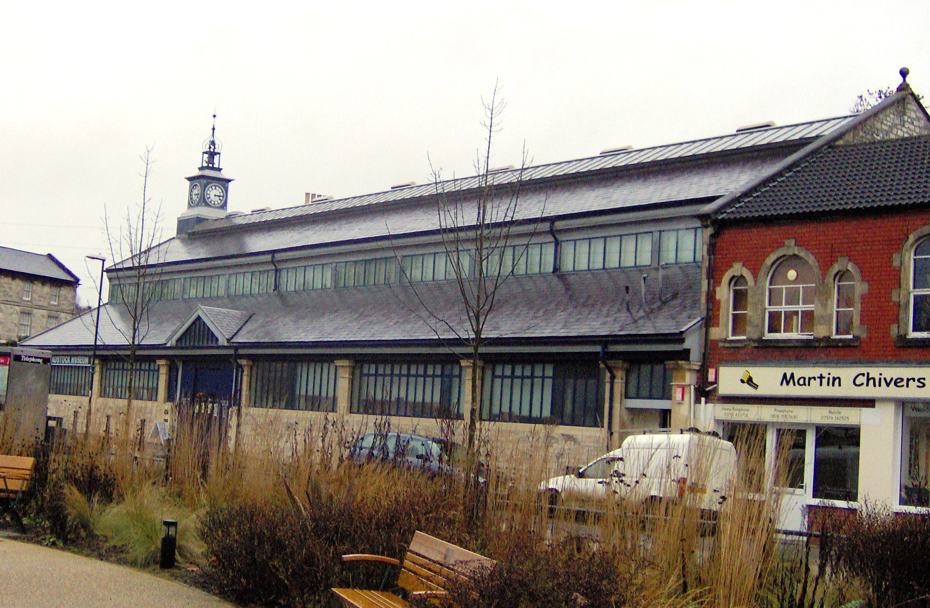
Radstock Museum

Radstock Museum in Radstock, Somerset, England has a range of exhibits which offer an insight into North Somerset life since the nineteenth century....

Somerset County Football Association

The Somerset County Football Association, also known as the Somerset FA, is the governing body of football in the county of Somerset. The association...

Norton Radstock College

Norton Radstock College was a further education college in Westfield, Somerset serving Midsomer Norton, Radstock, Westfield, Keynsham and surrounding districts...

Welton Rovers F.C.

Welton Rovers Football Club is an English, Somerset County FA non-league football club in the Western Football League Premier Division. They are currently...

Related Videos

Five Arches Parkrun - #parkruntourism

Five Arches Parkrun - The course is on flat, tarmac path utilising the old Somerset and Dorset Railway. The path passes by ...

Bank Holiday Weekend

Apollo Technology Radstock wish you all a super weekend. Check out our website www.apollotechnology.co.uk.

Holiday in Cambodia (Cover by The Spanners)

The Spanners - Live at The Dolphin (Midsomer Norton), April 2023 Cover of Holiday in Cambodia by The Dead Kennedys.

Holiday (Cover by The Spanners)

The Spanners - Live at The Dolphin (Midsomer Norton), April 2023 Cover of Holiday by Green Day No copyright infringement ...

Nearby Amenities

Located within 500m of 51.298684,-2.4666889
Barrier: stile
Lat/Long: 51.3013228/-2.4617178
Barrier: stile
Lat/Long: 51.2982501/-2.4663421
Barrier: kissing_gate
Lat/Long: 51.2994098/-2.4623764
Barrier: stile
Lat/Long: 51.2987184/-2.4642659
Barrier: kissing_gate
Lat/Long: 51.2963906/-2.4672978
Barrier: kissing_gate
Lat/Long: 51.2992283/-2.4626152
Barrier: kissing_gate
Lat/Long: 51.2980227/-2.4602443
Barrier: kissing_gate
Lat/Long: 51.2982751/-2.4663462
Barrier: kissing_gate
Lat/Long: 51.2982146/-2.4675859
Barrier: yes
Lat/Long: 51.302177/-2.4652549
Power: pole
Lat/Long: 51.3015982/-2.4624353
Power: pole
Lat/Long: 51.3021647/-2.462933
Power: pole
Lat/Long: 51.3008492/-2.461717
Power: pole
Lat/Long: 51.3002548/-2.4611865
Power: pole
Lat/Long: 51.2994069/-2.4603878
Power: pole
Lat/Long: 51.2985703/-2.459616
Power: pole
Lat/Long: 51.2975447/-2.4620755
Power: pole
Lat/Long: 51.2972861/-2.4633529
Power: pole
Lat/Long: 51.2970376/-2.4646264
Power: pole
Lat/Long: 51.2961323/-2.4644317
Power: pole
Lat/Long: 51.2952675/-2.4642289
The data included in this document is from www.openstreetmap.org. The data is made available under ODbL.

Have you been to Kitley Hill?

Leave your review of Kitley Hill below (or comments, questions and feedback).