Dean Hill

Hill, Mountain in Gloucestershire Forest of Dean

England

Dean Hill

Old Boundary Stone, Littledean "Royal Forest of Dean boundary". In the parish of East Dean, at the slip road leading to Camp Farm, between Littledean and Elton. In a retaining wall. Interestingly, 12.5 metres due South of this stone, in 1877, a hemispherical parcel of land was an exclave of Westbury on Severn, bisecting a farm building.

Inscription: D.F / 1832 / Nᴼ. 202

Milestone Society National ID: GL_DFLITT202em
Old Boundary Stone, Littledean Credit: Mr Red

Dean Hill is a prominent peak located in the county of Gloucestershire, England. Rising to an elevation of 235 meters (771 feet), it forms part of the picturesque Cotswold Hills, a designated Area of Outstanding Natural Beauty. Situated near the village of West Dean, Dean Hill offers breathtaking panoramic views of the surrounding countryside.

The hill is predominantly covered in lush grassland, dotted with occasional patches of woodland. Its gentle slopes make it an ideal destination for walkers and hikers of all abilities. A network of footpaths and trails crisscrosses the area, providing opportunities for outdoor enthusiasts to explore the diverse flora and fauna inhabiting the hillside.

Dean Hill is also home to a variety of wildlife species. Visitors may spot rabbits, foxes, and deer roaming freely, while a multitude of bird species can be observed soaring through the skies. The hill's rich biodiversity contributes to its appeal as a nature lover's haven.

The summit of Dean Hill is crowned by a trig point, which marks the highest point on the hill and serves as a navigational aid. From this vantage point, visitors can enjoy unobstructed views across the rolling Cotswold landscape, encompassing verdant meadows, charming villages, and other prominent hills in the distance.

The tranquil and idyllic setting of Dean Hill, combined with its accessibility and natural beauty, makes it a beloved destination for locals and tourists alike. Whether it's for a leisurely stroll or a more challenging hike, Dean Hill offers an unforgettable experience for those seeking to connect with nature and enjoy breathtaking vistas.

If you have any feedback on the listing, please let us know in the comments section below.
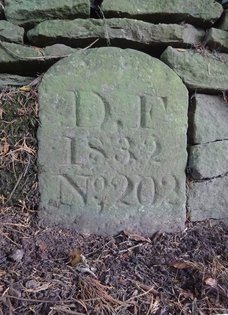
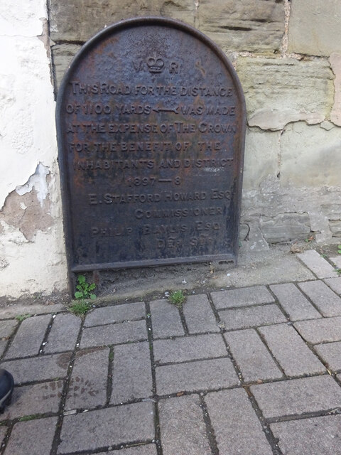
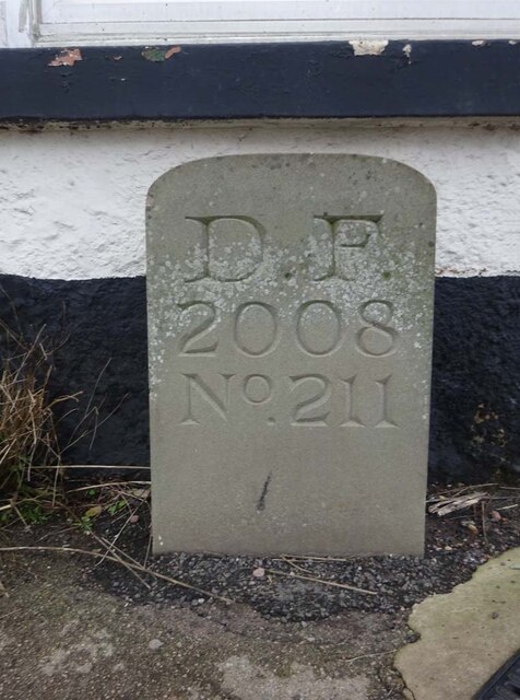
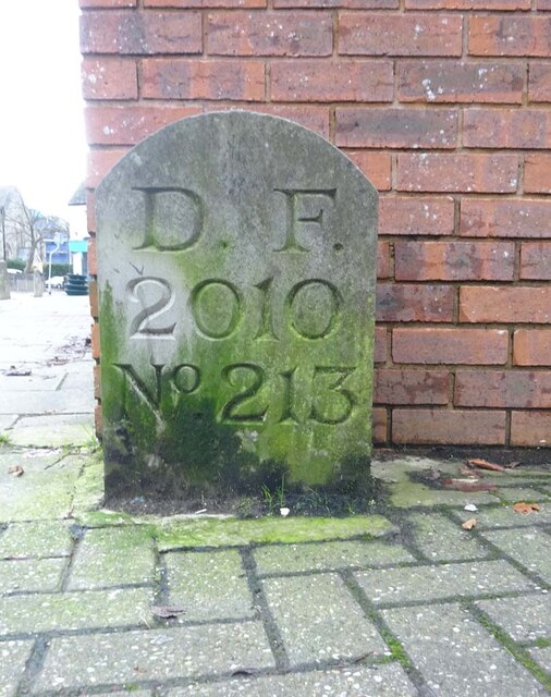
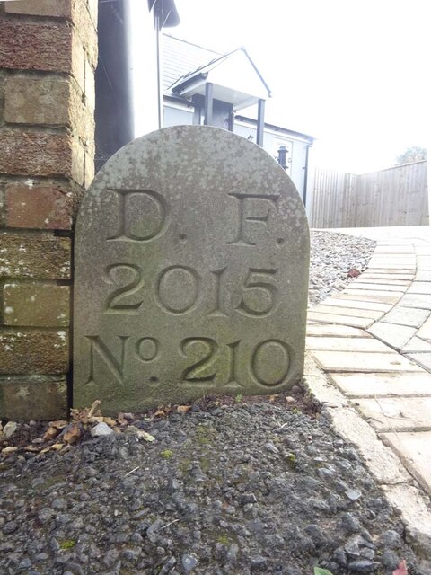
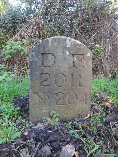
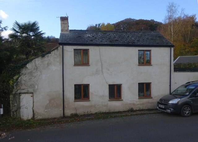
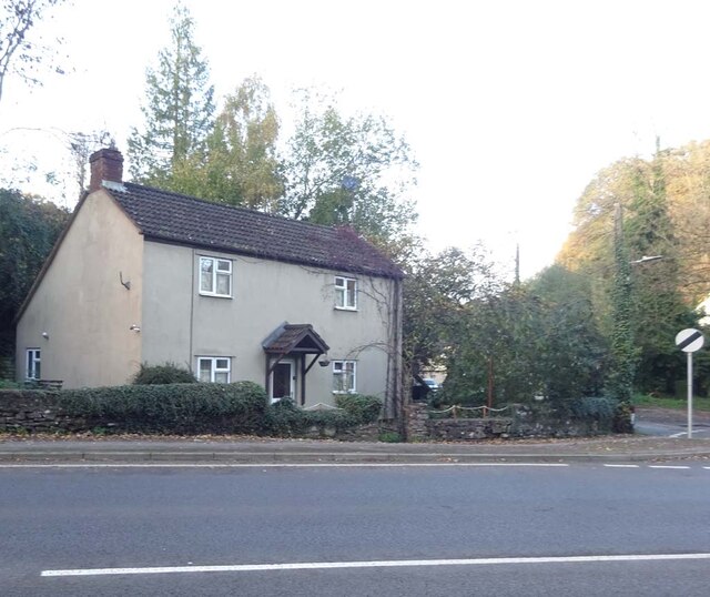
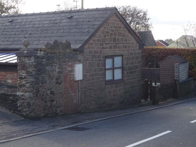
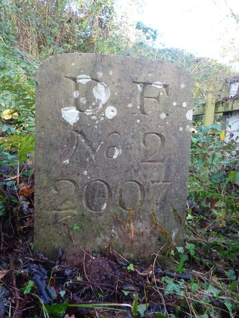
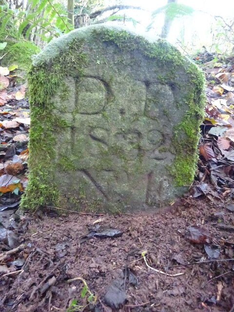
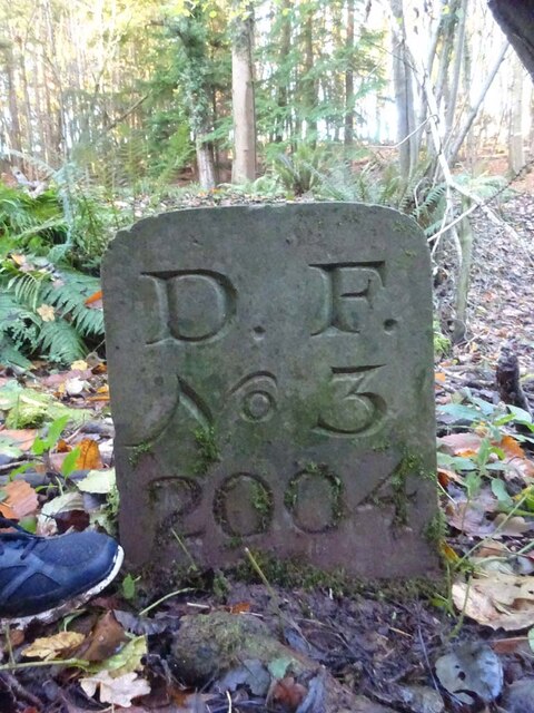
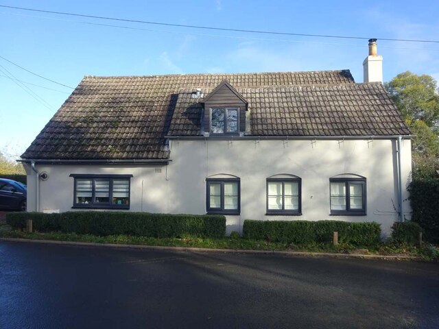
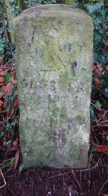
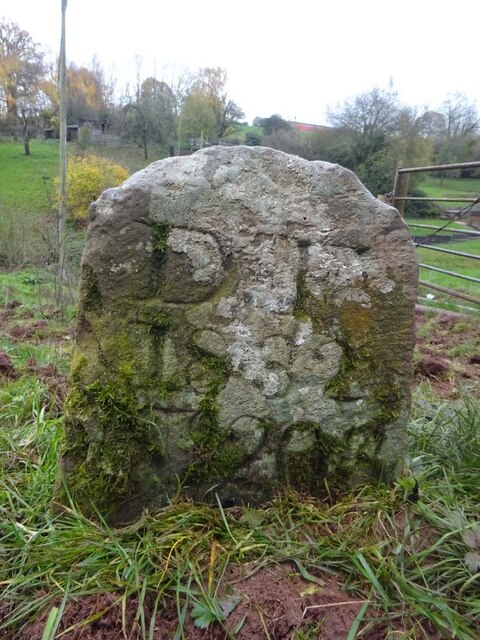
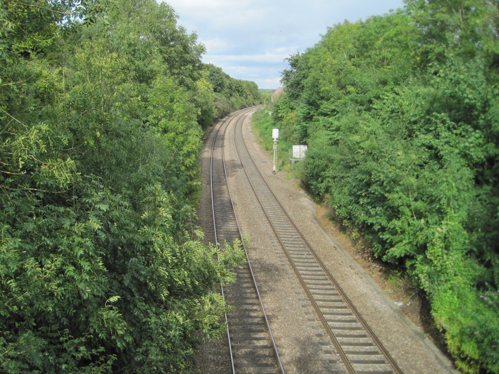
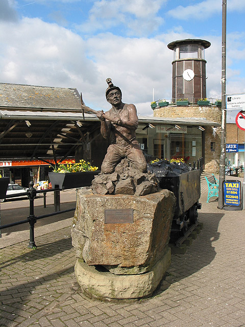
Dean Hill Images

Images are sourced within 2km of 51.814417/-2.4750754 or Grid Reference SO6712. Thanks to Geograph Open Source API. All images are credited.

Old Boundary Stone, Littledean "Royal Forest of Dean boundary". In the parish of East Dean, at the slip road leading to Camp Farm, between Littledean and Elton. In a retaining wall. Interestingly, 12.5 metres due South of this stone, in 1877, a hemispherical parcel of land was an exclave of Westbury on Severn, bisecting a farm building.

Inscription: D.F / 1832 / Nᴼ. 202

Milestone Society National ID: GL_DFLITT202em
Old Boundary Stone, Littledean
"Royal Forest of Dean boundary". In the parish of East Dean, at the slip road leading to Camp Farm, between Littledean and Elton. In a retaining wall. Interestingly, 12.5 metres due South of this stone, in 1877, a hemispherical parcel of land was an exclave of Westbury on Severn, bisecting a farm building. Inscription: D.F / 1832 / Nᴼ. 202 Milestone Society National ID: GL_DFLITT202em
Commemorative Plate, Cinderford On the wall of a house where Market and Victoria Streets concatenate.

Grade II Listed, details <span class="nowrap"><a title="https://historicengland.org.uk/listing/the-list/list-entry/1186466" rel="nofollow ugc noopener" href="https://historicengland.org.uk/listing/the-list/list-entry/1186466">Link</a><img style="margin-left:2px;" alt="External link" title="External link - shift click to open in new window" src="https://s1.geograph.org.uk/img/external.png" width="10" height="10"/></span>.

Inscription:
V (crown) R
This road for the distance
of 1100 ↢ yards was made
at the expense of the crown
for the benefit of the
inhabitants and district
1897 - 8
E.Stafford Howard Esq
Commissioner
Philip Baylis Esq
Dep Surveyor

Milestone Society National ID: GL_CIND05cm
Commemorative Plate, Cinderford
On the wall of a house where Market and Victoria Streets concatenate. Grade II Listed, details LinkExternal link. Inscription: V (crown) R This road for the distance of 1100 ↢ yards was made at the expense of the crown for the benefit of the inhabitants and district 1897 - 8 E.Stafford Howard Esq Commissioner Philip Baylis Esq Dep Surveyor Milestone Society National ID: GL_CIND05cm
Old Boundary Stone, Littledean Hill In the private garden of "Oak Ridge" in the Ruffitt. An original 1832 Forest of Dean boundary marker. 

Inscription: D.F / 1832 / Nᴼ. 209

Milestone Society National ID: GL_DFCINLIT209em
Old Boundary Stone, Littledean Hill
In the private garden of "Oak Ridge" in the Ruffitt. An original 1832 Forest of Dean boundary marker. Inscription: D.F / 1832 / Nᴼ. 209 Milestone Society National ID: GL_DFCINLIT209em
Boundary Stone, Cinderford On the corner of Littledean Hill Road, and the chamfered corner of the former Royal Forrester pub. Technically on private land but effectively just off the road.
The context view of the ex pub is <a href="https://www.geograph.org.uk/photo/4430088">SO6614 : Former Royal Forester, Cinderford</a>

Inscription: D.F / 2008 / Nᴼ. 211

Milestone Society National ID: GL_DFCINLIT211em
Boundary Stone, Cinderford
On the corner of Littledean Hill Road, and the chamfered corner of the former Royal Forrester pub. Technically on private land but effectively just off the road. The context view of the ex pub is SO6614 : Former Royal Forester, Cinderford Inscription: D.F / 2008 / Nᴼ. 211 Milestone Society National ID: GL_DFCINLIT211em
Boundary Stone, Cinderford In the High Street where the line of the row of shops kinks, near the pedestrian crossing.

Inscription: D.F / 2010 / Nᴼ. 213

Milestone Society National ID: GL_DFCIND213em
Boundary Stone, Cinderford
In the High Street where the line of the row of shops kinks, near the pedestrian crossing. Inscription: D.F / 2010 / Nᴼ. 213 Milestone Society National ID: GL_DFCIND213em
Boundary Stone, Littledean Hill On the Southern side of the road (the Ruffitt) in the driveway of "Stone Cottage".

Inscription: D.F / 2015 / Nᴼ. 210

Milestone Society National ID: GL_DFCINLIT210em
Boundary Stone, Littledean Hill
On the Southern side of the road (the Ruffitt) in the driveway of "Stone Cottage". Inscription: D.F / 2015 / Nᴼ. 210 Milestone Society National ID: GL_DFCINLIT210em
Boundary Stone, Denton's Corner In the junction of the A4151 Elton Road with the Slad and Greenway. In the parish of Littledean near Littledean Jail.

Inscription: D.F / 2011 / Nᴼ. 204

Milestone Society National ID: GL_DFLITT204em
Boundary Stone, Denton's Corner
In the junction of the A4151 Elton Road with the Slad and Greenway. In the parish of Littledean near Littledean Jail. Inscription: D.F / 2011 / Nᴼ. 204 Milestone Society National ID: GL_DFLITT204em
Boundary Stone, Cinderford Technically in the modern parish of Ruspidge and Soudley. Cinderford is the Northern side of the road.

Inscription: D.F / 2015 / Nᴼ. 214

Milestone Society National ID: GL_DFRUSU214em
Boundary Stone, Cinderford
Technically in the modern parish of Ruspidge and Soudley. Cinderford is the Northern side of the road. Inscription: D.F / 2015 / Nᴼ. 214 Milestone Society National ID: GL_DFRUSU214em
Pike House, George Road, Littledean Former Toll House opposite Greenway. Used by the Forest of Dean Turnpike Trust in the 19th Century. See on the map of GB (UK) Toll houses <span class="nowrap"><a title="http://gbth.mister.red/#13/51.828/-2.47859" rel="nofollow ugc noopener" href="http://gbth.mister.red/#13/51.828/-2.47859">Link</a><img style="margin-left:2px;" alt="External link" title="External link - shift click to open in new window" src="https://s1.geograph.org.uk/img/external.png" width="10" height="10"/></span>

Milestone Society National ID: GL.LIT01
Pike House, George Road, Littledean
Former Toll House opposite Greenway. Used by the Forest of Dean Turnpike Trust in the 19th Century. See on the map of GB (UK) Toll houses LinkExternal link Milestone Society National ID: GL.LIT01
Denton's Corner, Littledean A4151 Former Toll House at Denton's Corner where Greenway and the Slad meet the A4151 Gloucester Road. This building served the Elton Turnpike Trust in the 19ᵗʰ Century.

Milestone Society National ID: GL.LIT03
Denton's Corner, Littledean A4151
Former Toll House at Denton's Corner where Greenway and the Slad meet the A4151 Gloucester Road. This building served the Elton Turnpike Trust in the 19ᵗʰ Century. Milestone Society National ID: GL.LIT03
Old Tollhouse, 26 St White's Road In the modern parish of Ruspidge and Soudley. Within the boundaries of the "Forest of Dean", and still showing a "TP" on the 1873 map. This building served the Forest of Dean Turnpike Trust.

Milestone Society National ID: GL.CIN01
Old Tollhouse, 26 St White's Road
In the modern parish of Ruspidge and Soudley. Within the boundaries of the "Forest of Dean", and still showing a "TP" on the 1873 map. This building served the Forest of Dean Turnpike Trust. Milestone Society National ID: GL.CIN01
Old Boundary Stone, Blaise Bailey Marking the boundary of the "Forest of Dean" seen from Forestry Commission land but actually just in the private field beyond. One of the few originals.

Inscription: D. F. / Nᴼ. 218 / 1832

Milestone Society National ID: GL_DFRUSU218em
Old Boundary Stone, Blaise Bailey
Marking the boundary of the "Forest of Dean" seen from Forestry Commission land but actually just in the private field beyond. One of the few originals. Inscription: D. F. / Nᴼ. 218 / 1832 Milestone Society National ID: GL_DFRUSU218em
Boundary Stone, Grange At the end of Gloucestershire bridleway ENE4, near Grange Village. Signposted to "Precious Pets" boarding kennels.

Inscription: D.F / Nᴼ. 2 / 2007

Milestone Society National ID: GL_DFNEWN2em
Boundary Stone, Grange
At the end of Gloucestershire bridleway ENE4, near Grange Village. Signposted to "Precious Pets" boarding kennels. Inscription: D.F / Nᴼ. 2 / 2007 Milestone Society National ID: GL_DFNEWN2em
Old Boundary Stone, Grange Just after the end of Gloucestershire footpath ENE34 marking the boundary of the "Forest of Dean". A modern companion stone, Nᴼ.3, can be seen 50m North at <a href="https://www.geograph.org.uk/photo/7352881">SO6711 : Boundary Stone, Blaise Bailey</a>.

Inscription: D. F. / 1832 / Nᴼ. 4

Milestone Society National ID: GL_DFNEWN4em
Old Boundary Stone, Grange
Just after the end of Gloucestershire footpath ENE34 marking the boundary of the "Forest of Dean". A modern companion stone, Nᴼ.3, can be seen 50m North at SO6711 : Boundary Stone, Blaise Bailey. Inscription: D. F. / 1832 / Nᴼ. 4 Milestone Society National ID: GL_DFNEWN4em
Boundary Stone, Blaise Bailey In the wood just past Gloucestershire footpath ENE34. A companion stone Nᴼ.4, an 1832 stone, can be seen 50m South, at <a href="https://www.geograph.org.uk/photo/7352856">SO6711 : Old Boundary Stone, Grange</a>.

Inscription: D. F. / Nᴼ. 3 / 2004

Milestone Society National ID: GL_DFNEWN3em
Boundary Stone, Blaise Bailey
In the wood just past Gloucestershire footpath ENE34. A companion stone Nᴼ.4, an 1832 stone, can be seen 50m South, at SO6711 : Old Boundary Stone, Grange. Inscription: D. F. / Nᴼ. 3 / 2004 Milestone Society National ID: GL_DFNEWN3em
Old Pike Cottage, Pleasant Stile On the road between Littldean and Newnham on Severn pleasantly known as Pleasant Stile becoming Dean Road to the SE and starting as Silver Street to the NW. Erected by the Forest of Dean Turnpike Trust.

Milestone Society National ID: GL.LIT02
Old Pike Cottage, Pleasant Stile
On the road between Littldean and Newnham on Severn pleasantly known as Pleasant Stile becoming Dean Road to the SE and starting as Silver Street to the NW. Erected by the Forest of Dean Turnpike Trust. Milestone Society National ID: GL.LIT02
Old Milestone opposite Cherry Tree Farm, Carved stone post by the A4151, in parish of WESTBURY ON SEVERN (FOREST OF DEAN District),
behind railings, on the North side of road. The carved Benchmark  represents 47.3 m ASL.
EC stone, erected by the Forest of Dean turnpike trust in the 19ᵗʰ century.
An earlier image is <a href="https://www.geograph.org.uk/photo/6049831">SO6814 : Old Milestone by the A4151, Cherry Tree Farm, Westbury on Severn parish</a>.

Inscription reads: COLEFORD / 8 / GLOSTER / 11 / LONDON / (??)

Milestone Society National ID: GL_ELCO02
Old Milestone opposite Cherry Tree Farm,
Carved stone post by the A4151, in parish of WESTBURY ON SEVERN (FOREST OF DEAN District), behind railings, on the North side of road. The carved Benchmark represents 47.3 m ASL. EC stone, erected by the Forest of Dean turnpike trust in the 19ᵗʰ century. An earlier image is SO6814 : Old Milestone by the A4151, Cherry Tree Farm, Westbury on Severn parish. Inscription reads: COLEFORD / 8 / GLOSTER / 11 / LONDON / (??) Milestone Society National ID: GL_ELCO02
Old Boundary Stone, In a field North of the A4151, just beyond the dead end of a Public Right of Way.
It marks the boundary of the "Forest of Dean", and is on the boundary of East Dean and Littledean (1950 parishes).

Inscription: D. F / 1832 / Nᴼ. 203

Milestone Society National ID: GL_DFLITT203em
Old Boundary Stone,
In a field North of the A4151, just beyond the dead end of a Public Right of Way. It marks the boundary of the "Forest of Dean", and is on the boundary of East Dean and Littledean (1950 parishes). Inscription: D. F / 1832 / Nᴼ. 203 Milestone Society National ID: GL_DFLITT203em
Show me another place!

Dean Hill is located at Grid Ref: SO6712 (Lat: 51.814417, Lng: -2.4750754)

Administrative County: Gloucestershire

District: Forest of Dean

Police Authority: Gloucestershire

What 3 Words

///simulations.embedded.liquids. Near Cinderford, Gloucestershire

Nearby Locations

Grange Village Dean Hill

Related Wikis

Littledean Hall

Littledean Hall (grid reference SO672130) is a country house in the village of Littledean, Gloucestershire, England. It has been described as one of the...

Littledean

Littledean is a village in the Forest of Dean, west Gloucestershire, England. The village has a long history and formerly had the status of a town. Littledean...

Littledean Camp

Littledean Camp is in fact a castle overlooking the village of Littledean in Gloucestershire, England, notable for its unique early Norman design. Originally...

Blaize Bailey

Blaize Bailey is a small hamlet and viewpoint on the eastern edge of the Forest of Dean, in Gloucestershire, England. The viewpoint was constructed using...

Newnham railway station

Newnham railway station was a station serving the village of Newnham on Severn, Gloucestershire. == History == The South Wales Railway was formed in 1845...

Pope's Hill

Pope's Hill is a hill and a small village situated in the east of the Forest of Dean, Gloucestershire within the parish of Littledean. The hill is 12 miles...

Cinderford

Cinderford is a town and civil parish on the eastern fringe of the Forest of Dean in Gloucestershire, England. The population was 8,777 at the 2021 Census...

Cinderford Town A.F.C.

Cinderford Town Association Football Club is a football club based in Cinderford in Gloucestershire, England. Affiliated to the Gloucestershire County...

Nearby Amenities

Located within 500m of 51.814417,-2.4750754
Mini Roundabout
Direction: clockwise
Lat/Long: 51.8180792/-2.4785355
Bus Stop
King's Head
Naptan AtcoCode: 1600GL2953
Naptan Bearing: NW
Naptan CommonName: King's Head
Naptan Indicator: Opp
Naptan NaptanCode: gloajtjp
Naptan Street: Broad St
Naptan Verified: no
Source: naptan_import
Lat/Long: 51.8180481/-2.4786821
Bus Stop
King's Head
Naptan AtcoCode: 1600GL2954
Naptan Bearing: E
Naptan CommonName: King's Head
Naptan NaptanCode: gloajtjt
Naptan Street: Broad St
Naptan Verified: no
Source: naptan_import
Lat/Long: 51.8181364/-2.4787477
Littledean
Is In: Gloucestershire, England, UK
Place: village
Lat/Long: 51.8179394/-2.4786515
Barrier: stile
Material: wood
Step Count: 2
Stile: stepover
Lat/Long: 51.8128003/-2.4722692
Barrier: stile
Material: wood
Step Count: 2
Stile: stepover
Lat/Long: 51.8125663/-2.4732964
Barrier: kissing_gate
Foot: yes
Lat/Long: 51.8124678/-2.4777079
Barrier: kissing_gate
Bicycle: no
Foot: designated
Horse: no
Kissing Gate: circular_profile
Motor Vehicle: no
Lat/Long: 51.8122861/-2.4738571
Post Box
Collection Times: Mo-Fr 09:00; Sa 07:00
Operator: Royal Mail
Post Box Type: lamp
Ref: GL14 111D
Royal Cypher: EIIR
Royal Cypher Wikidata: Q33102113
Lat/Long: 51.813002/-2.4744937
Barrier: stile
Material: wood
Step Count: 1
Stile: stepover
Lat/Long: 51.8129311/-2.4712883
Barrier: stile
Material: wood
Step Count: 1
Stile: stepover
Lat/Long: 51.8121363/-2.4749434
The data included in this document is from www.openstreetmap.org. The data is made available under ODbL.

Have you been to Dean Hill?

Leave your review of Dean Hill below (or comments, questions and feedback).