Barrow Hill
Hill, Mountain in Somerset South Somerset
England
Barrow Hill
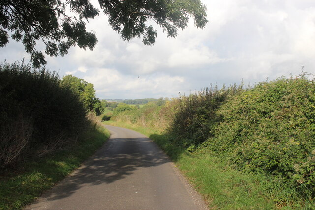
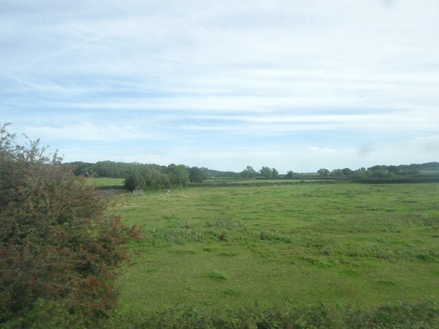
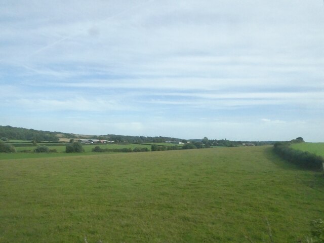
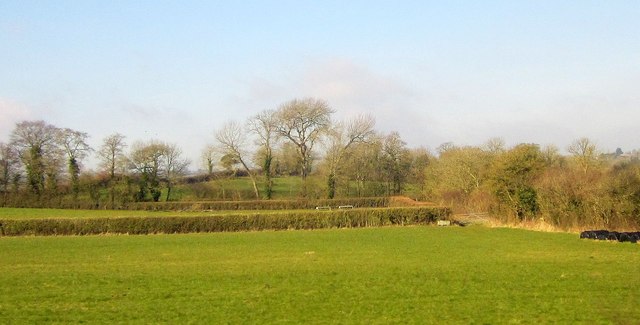
Barrow Hill is a prominent hill located in Somerset, England. Situated near the village of North Curry, it forms part of the wider landscape of the Somerset Levels. Rising to a height of approximately 94 meters (308 feet), Barrow Hill offers picturesque views of the surrounding countryside.
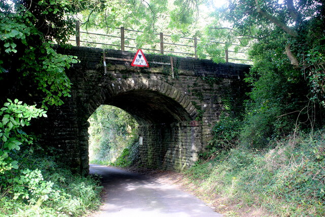
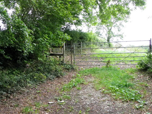
The hill is primarily composed of limestone and features a gentle gradient, making it a popular destination for walkers and hikers. Its relatively easy ascent makes it accessible to people of all fitness levels, while its well-maintained footpaths ensure a pleasant experience for visitors.
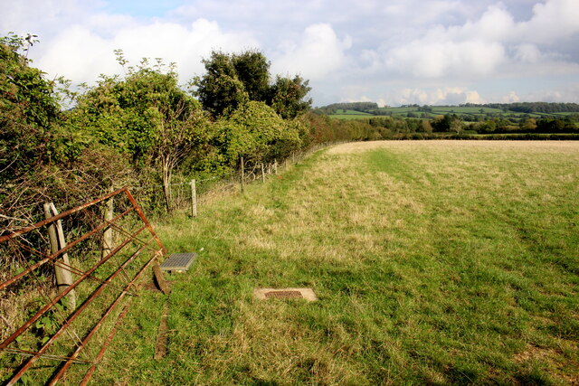
Barrow Hill is also of historical significance, with evidence of human activity dating back to the Iron Age. Archaeological discoveries such as burial mounds and ancient settlements have been made on the hill, providing valuable insights into the region's past.
Flora and fauna abound on Barrow Hill, with a diverse range of plant and animal species calling the area home. Visitors can expect to see wildflowers, including orchids, as well as various bird species, butterflies, and small mammals.
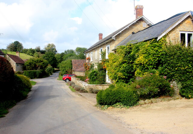
The hill offers a serene and peaceful environment, attracting nature enthusiasts and those seeking a break from the hustle and bustle of everyday life. With its rich history, stunning views, and abundant wildlife, Barrow Hill is a must-visit destination for anyone exploring the Somerset region.
If you have any feedback on the listing, please let us know in the comments section below.
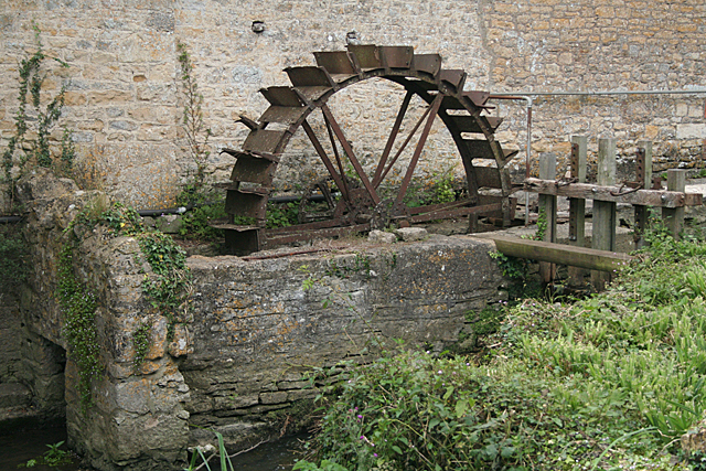
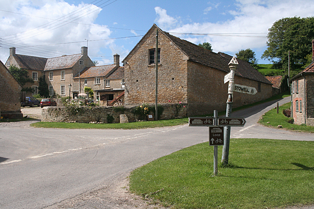
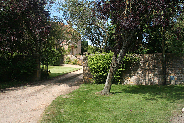
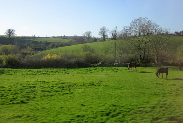
Barrow Hill Images
Images are sourced within 2km of 50.98499/-2.4679511 or Grid Reference ST6720. Thanks to Geograph Open Source API. All images are credited.


Barrow Hill is located at Grid Ref: ST6720 (Lat: 50.98499, Lng: -2.4679511)
Administrative County: Somerset
District: South Somerset
Police Authority: Avon and Somerset
What 3 Words
///barstool.buckets.sizing. Near Milborne Port, Somerset
Nearby Locations
Related Wikis
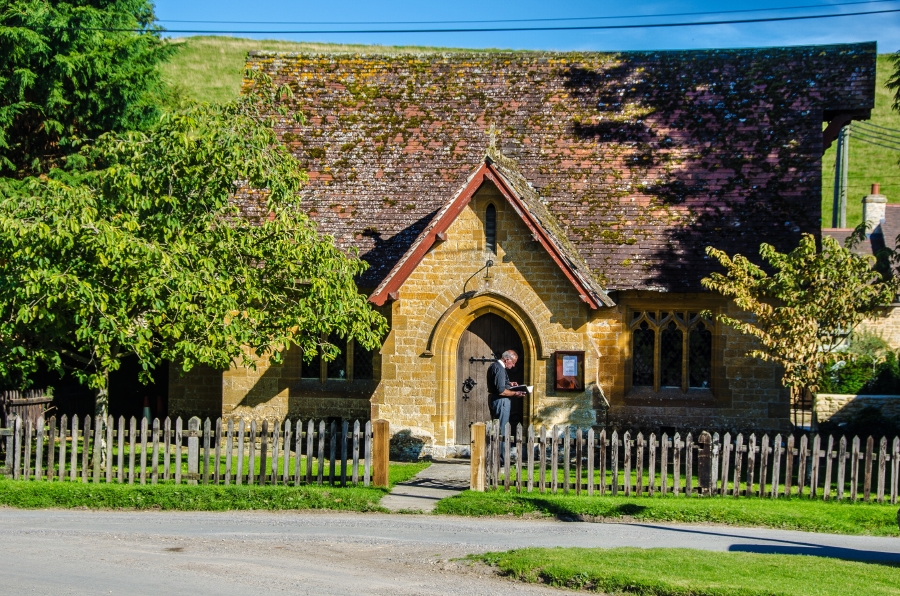
Milborne Wick Mission Church
Milborne Wick Mission Church is a Church of England church in Milborne Wick, Somerset, England. The church was built in 1891 and is a Grade II listed building...

Laycock Railway Cutting
Laycock Railway Cutting (grid reference ST678213) is a 1.3 hectare geological Site of Special Scientific Interest near Milborne Port in Somerset, notified...

Miller's Hill, Milborne Wick
Miller's Hill, Milborne Wick (grid reference ST66312057) is a 0.6-hectare (1.5-acre) geological Site of Special Scientific Interest at Milborne Wick in...

Milborne Port
Milborne Port is a village, electoral ward and civil parish in Somerset, England, east of Sherborne, and in the South Somerset district. It has a population...
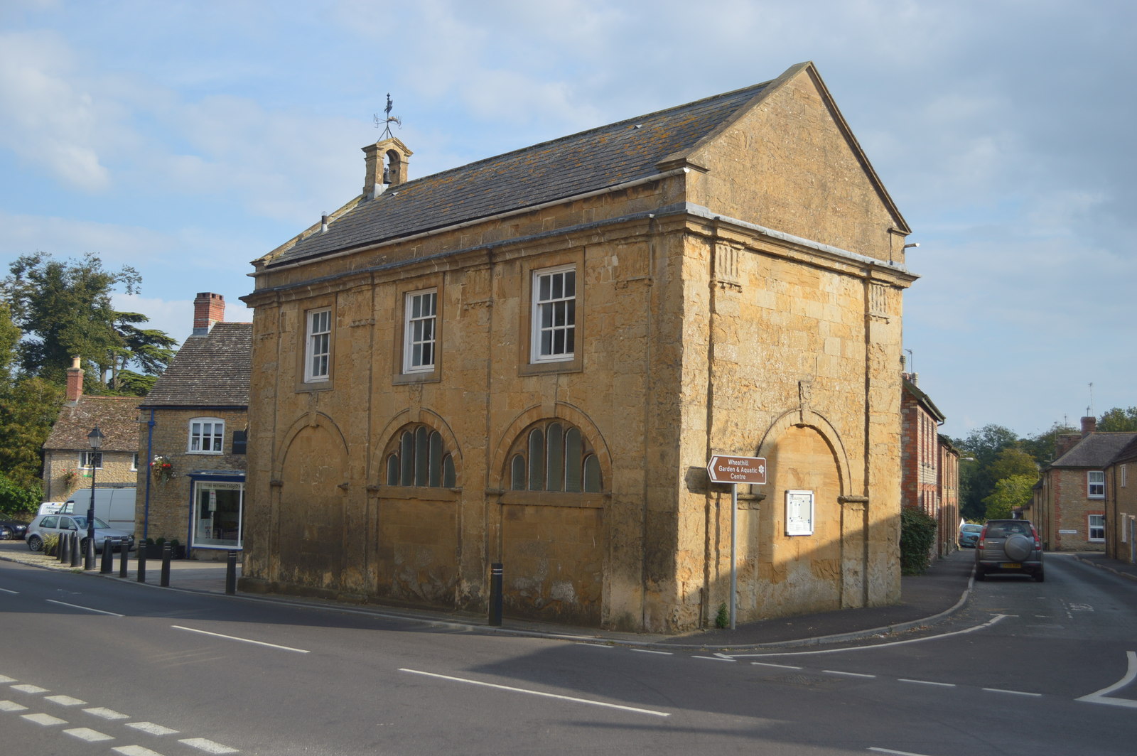
Milborne Port Town Hall
Milborne Port Town Hall is a municipal building in the High Street in Milborne Port, Somerset, England. The structure, which serves as meeting place of...
Church of St John the Evangelist, Milborne Port
The Church of St John the Evangelist in Milborne Port, Somerset, England is a cruciform church of late Anglo-Saxon date and parts may well span the Norman...

Poyntington
Poyntington is a village and civil parish in the county of Dorset in South West England. It lies on the edge of the Blackmore Vale about 2 miles (3.2 km...

Church of St Peter and St Paul, Charlton Horethorne
The Anglican Church of St Peter and St Paul in Charlton Horethorne, Somerset, England was built in the 12th century. It is a Grade II* listed building...
Nearby Amenities
Located within 500m of 50.98499,-2.4679511Have you been to Barrow Hill?
Leave your review of Barrow Hill below (or comments, questions and feedback).