Station Covert
Wood, Forest in Somerset South Somerset
England
Station Covert
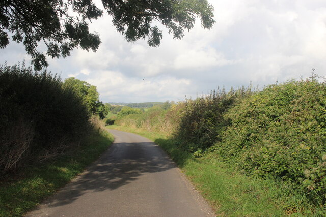
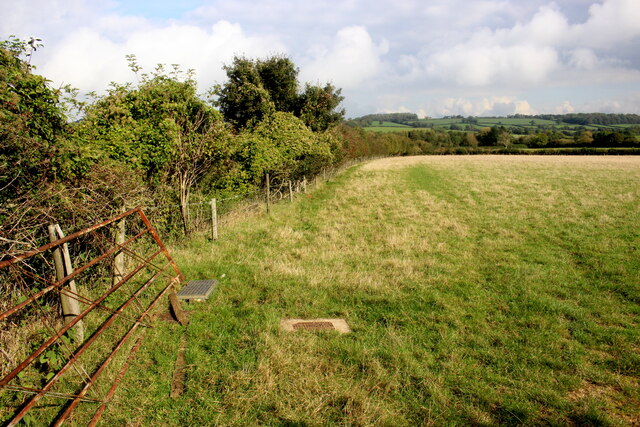
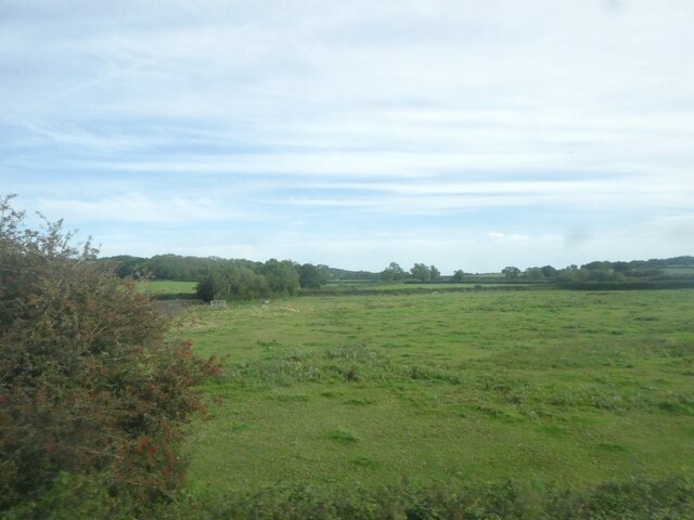
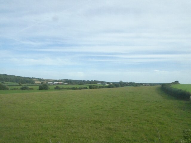
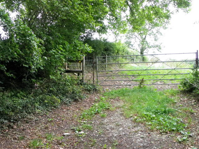
Station Covert is a dense woodland located in the county of Somerset, England. Situated near the village of Wood, in the heart of the Forest of Somerset, it covers an extensive area of approximately 500 acres. The covert is characterized by its varied terrain, consisting of rolling hills, ancient trees, and a network of winding footpaths.
The woodland is predominantly composed of native tree species, including oak, beech, and birch, which create a diverse and rich ecosystem. The trees are interspersed with patches of shrubs and wildflowers, which provide habitats for a wide range of wildlife. These include various bird species, such as woodpeckers, owls, and thrushes, as well as mammals like deer, foxes, and badgers.
Station Covert is a popular destination for nature enthusiasts, walkers, and wildlife photographers due to its natural beauty and tranquility. The woodland offers a peaceful retreat away from the bustling urban areas, providing visitors with an opportunity to connect with nature and enjoy the serenity of the forest. The network of footpaths allows visitors to explore the woodland at their leisure, immersing themselves in the sights and sounds of the natural environment.
The covert is accessible throughout the year, with its beauty changing with the seasons. In spring, the woodland bursts into life with vibrant blossoms and the sounds of birdsong. Summer brings lush green foliage and a carpet of wildflowers, while autumn showcases a spectacular display of colors as the leaves turn to shades of gold and red. In winter, the woodland takes on a serene and ethereal atmosphere, with frost-covered branches and a peaceful stillness.
Overall, Station Covert in Somerset is a picturesque woodland that offers a haven of natural beauty and wildlife, making it an idyllic destination for nature lovers and those seeking a peaceful retreat.
If you have any feedback on the listing, please let us know in the comments section below.
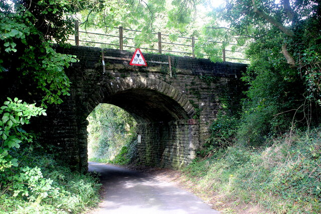
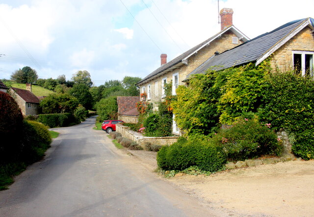
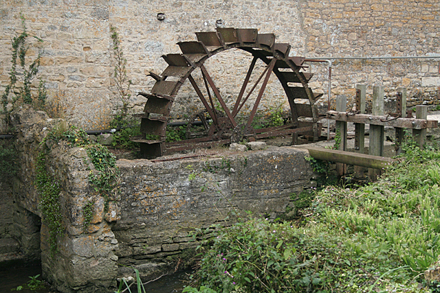
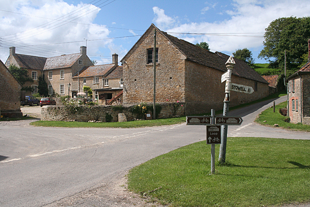
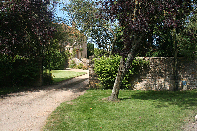
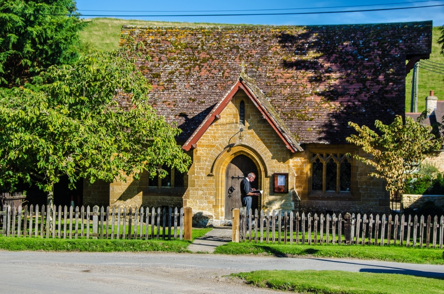
Station Covert Images
Images are sourced within 2km of 50.984946/-2.4609985 or Grid Reference ST6720. Thanks to Geograph Open Source API. All images are credited.


Station Covert is located at Grid Ref: ST6720 (Lat: 50.984946, Lng: -2.4609985)
Administrative County: Somerset
District: South Somerset
Police Authority: Avon and Somerset
What 3 Words
///grass.dizziness.scariest. Near Milborne Port, Somerset
Nearby Locations
Related Wikis

Laycock Railway Cutting
Laycock Railway Cutting (grid reference ST678213) is a 1.3 hectare geological Site of Special Scientific Interest near Milborne Port in Somerset, notified...
Milborne Wick Mission Church
Milborne Wick Mission Church is a Church of England church in Milborne Wick, Somerset, England. The church was built in 1891 and is a Grade II listed building...

Miller's Hill, Milborne Wick
Miller's Hill, Milborne Wick (grid reference ST66312057) is a 0.6-hectare (1.5-acre) geological Site of Special Scientific Interest at Milborne Wick in...

Milborne Port
Milborne Port is a village, electoral ward and civil parish in Somerset, England, east of Sherborne, and in the South Somerset district. It has a population...
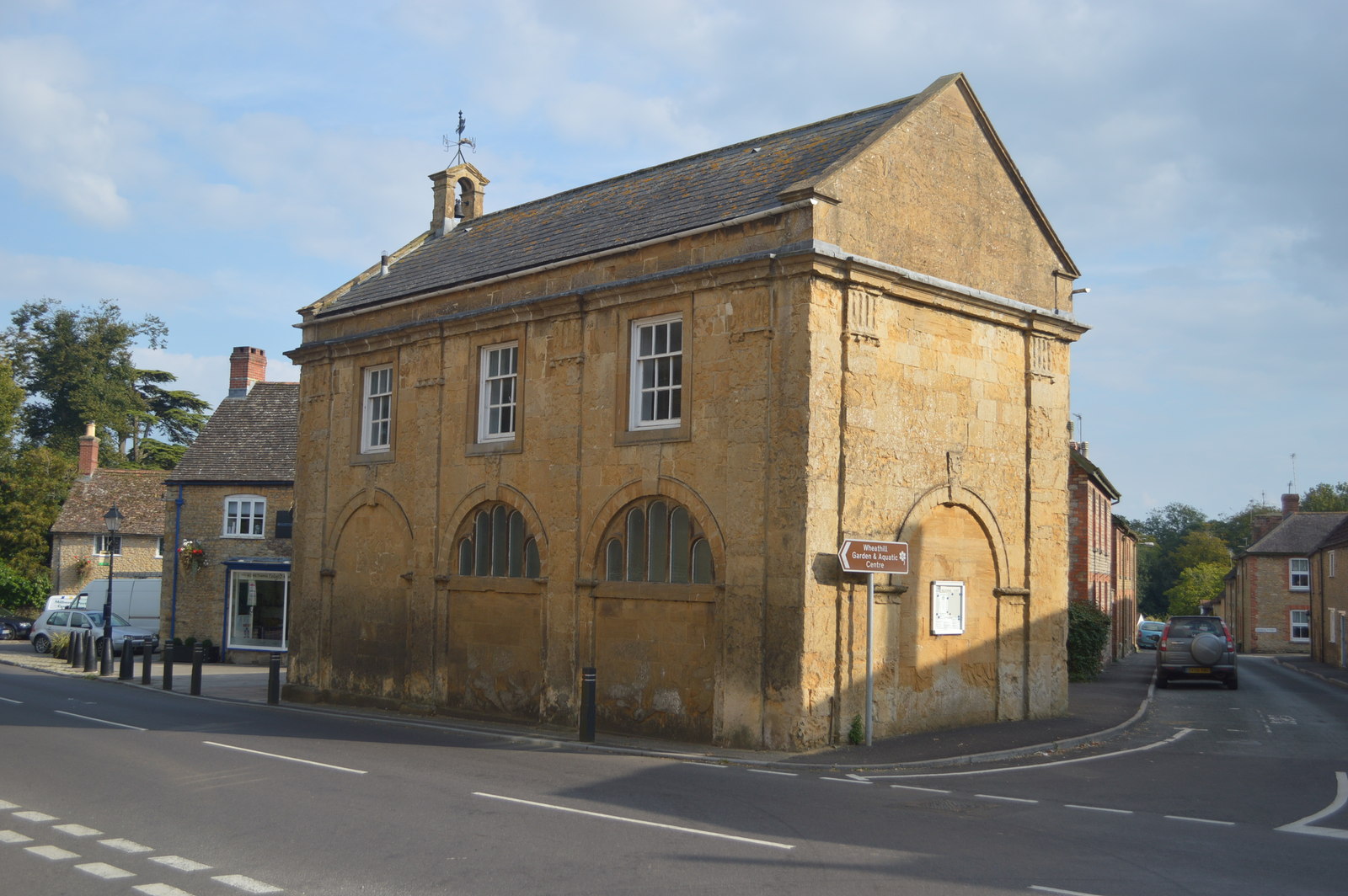
Milborne Port Town Hall
Milborne Port Town Hall is a municipal building in the High Street in Milborne Port, Somerset, England. The structure, which serves as meeting place of...
Church of St John the Evangelist, Milborne Port
The Church of St John the Evangelist in Milborne Port, Somerset, England is a cruciform church of late Anglo-Saxon date and parts may well span the Norman...

Ven House
Ven House in Milborne Port, Somerset, England is an English manor house that has been designated as a Grade I listed building.Construction of the smaller...

Church of St Peter and St Paul, Charlton Horethorne
The Anglican Church of St Peter and St Paul in Charlton Horethorne, Somerset, England was built in the 12th century. It is a Grade II* listed building...
Nearby Amenities
Located within 500m of 50.984946,-2.4609985Have you been to Station Covert?
Leave your review of Station Covert below (or comments, questions and feedback).