Baxton Fell
Hill, Mountain in Yorkshire Ribble Valley
England
Baxton Fell
Baxton Fell is a prominent hill located in the county of Yorkshire, England. Situated in the North York Moors National Park, it forms part of the breathtaking landscape synonymous with this region. Rising to an elevation of approximately 450 meters (1,480 feet), Baxton Fell offers visitors and hikers a spectacular vantage point to admire the surrounding countryside.
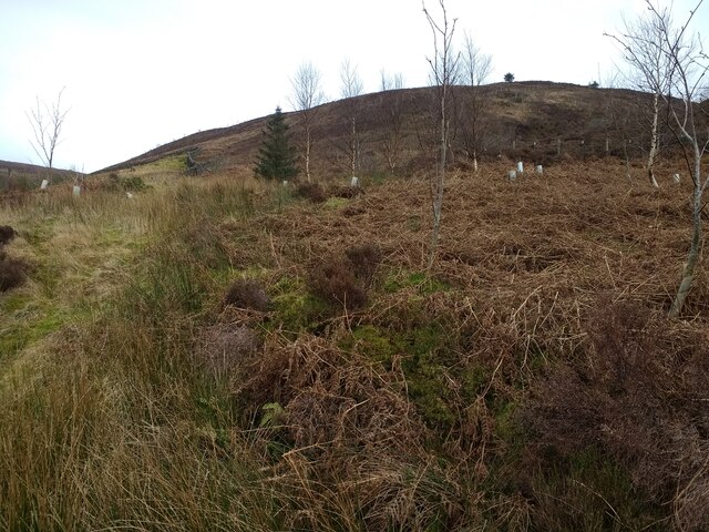
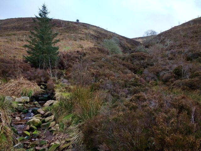
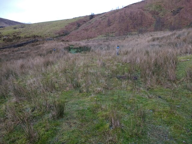
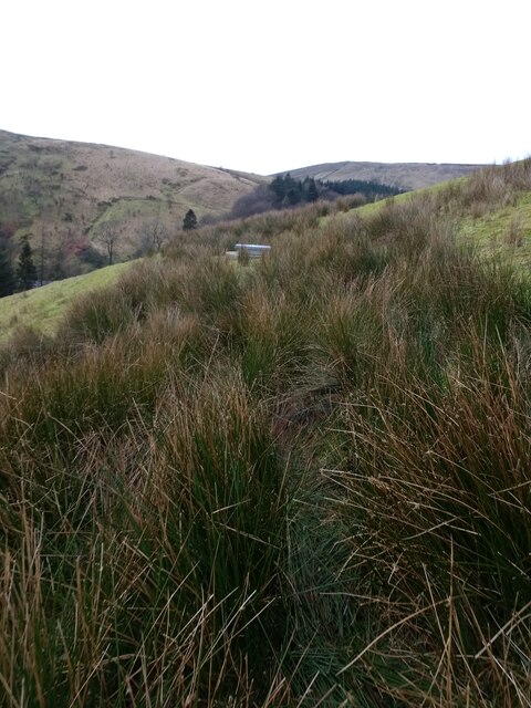
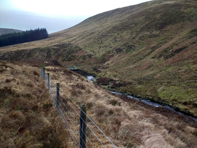
The hill is characterized by its gentle slopes and rolling terrain, covered in lush green vegetation, which is particularly vibrant during the spring and summer months. Its distinct feature is a large rocky outcrop at its summit, providing a picturesque setting for those who brave the climb. From this point, there are stunning panoramic views of the surrounding moorland, with its patchwork of fields, forests, and scattered villages.
Baxton Fell is home to a diverse range of wildlife, including various species of birds, small mammals, and insects. Birdwatchers can often spot kestrels, peregrine falcons, and buzzards soaring through the skies above. The hill is also known for its rich history, with traces of ancient settlements and burial mounds found in the vicinity.
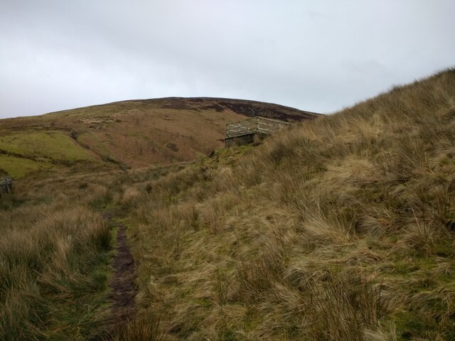
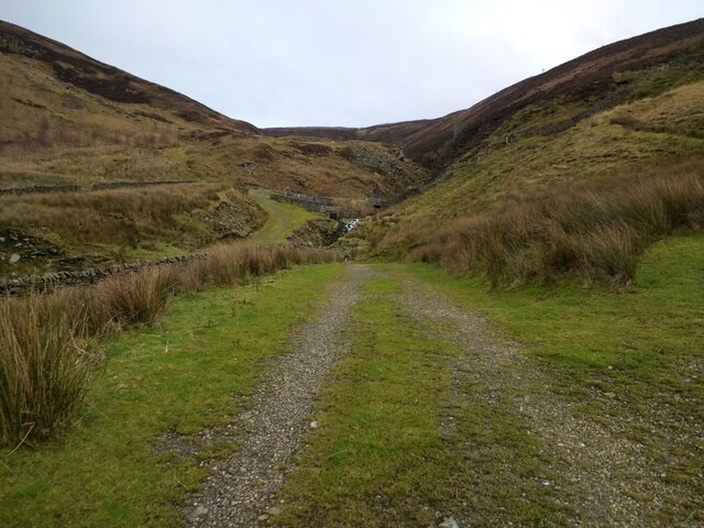
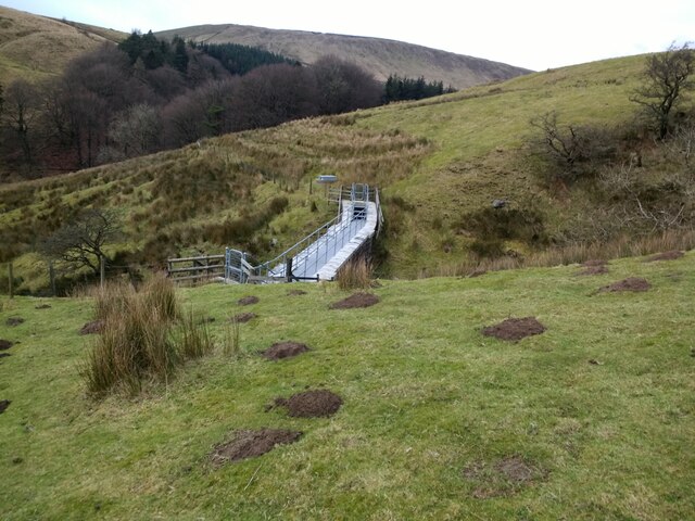
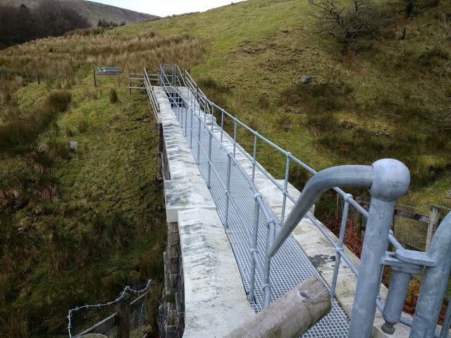
For outdoor enthusiasts, Baxton Fell offers numerous walking and hiking trails, allowing visitors to explore the area's natural beauty and immerse themselves in the peaceful and tranquil surroundings. Whether it is a leisurely stroll or a more challenging hike, Baxton Fell provides an idyllic escape into the heart of Yorkshire's stunning countryside.
If you have any feedback on the listing, please let us know in the comments section below.
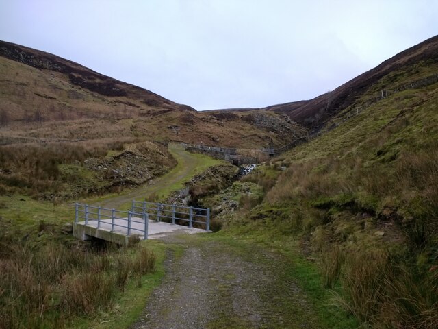
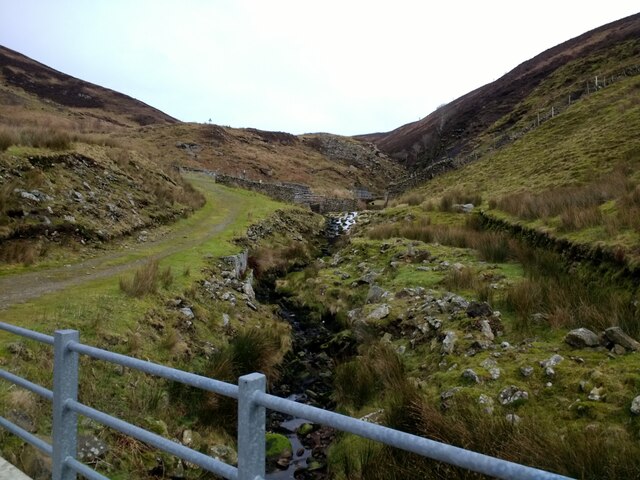
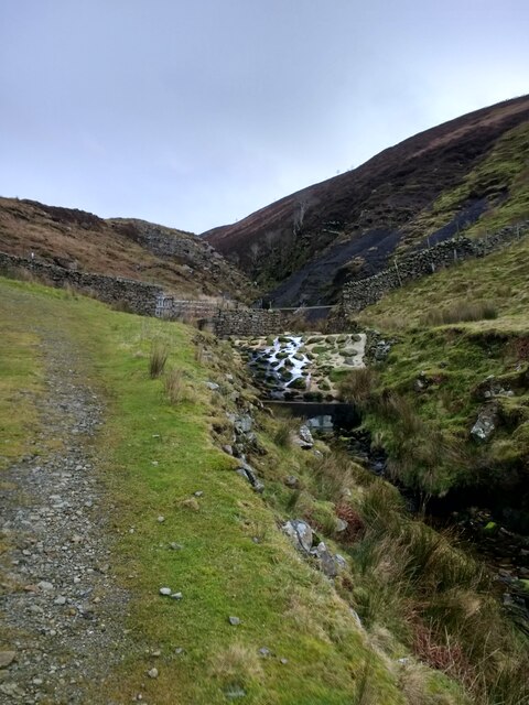
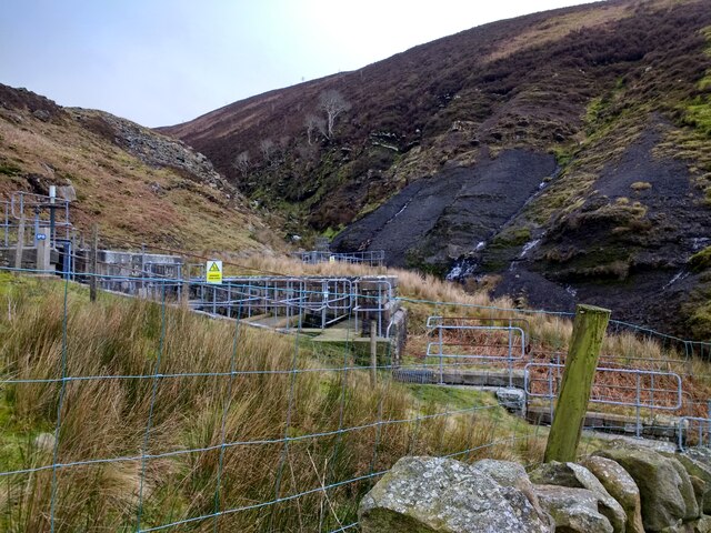
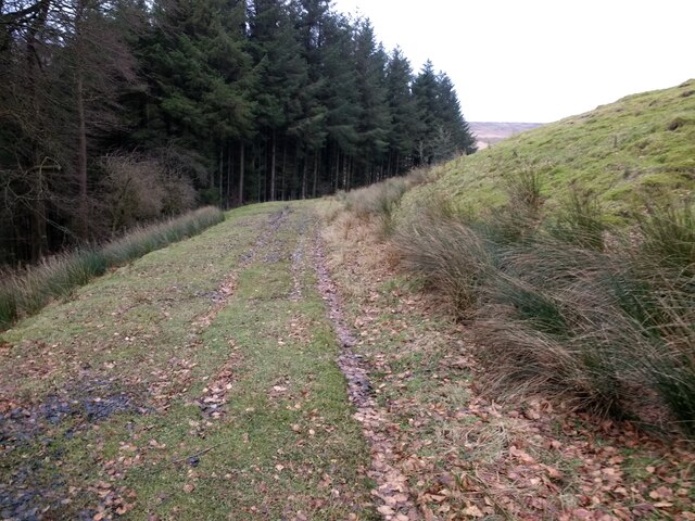
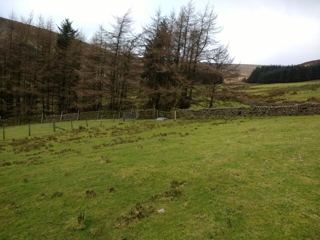
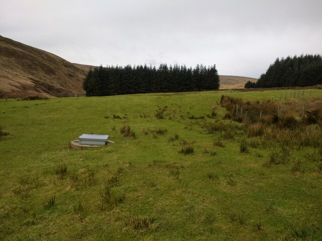
Baxton Fell Images
Images are sourced within 2km of 53.999477/-2.5018401 or Grid Reference SD6756. Thanks to Geograph Open Source API. All images are credited.

Baxton Fell is located at Grid Ref: SD6756 (Lat: 53.999477, Lng: -2.5018401)
Division: West Riding
Administrative County: Lancashire
District: Ribble Valley
Police Authority: Lancashire
What 3 Words
///petted.bearable.spinning. Near High Bentham, North Yorkshire
Nearby Locations
Related Wikis

Geography of the United Kingdom
The United Kingdom is a sovereign state located off the north-western coast of continental Europe. With a total area of approximately 248,532 square kilometres...

White Hill (Forest of Bowland)
White Hill is a hill in the Forest of Bowland, north-western England. It lies between Slaidburn and High Bentham. The summit houses a tower and a trig...

Brennand Farm
Brennand Farm is often claimed to be the true centre of Great Britain. This is about seven kilometres north-west of Dunsop Bridge - which has the nearest...

Wolfhole Crag
Wolfhole Crag is an isolated and seldom-visited hill in the Forest of Bowland in Lancashire, England. Its seclusion is due in part to its low profile and...
Nearby Amenities
Located within 500m of 53.999477,-2.5018401Have you been to Baxton Fell?
Leave your review of Baxton Fell below (or comments, questions and feedback).