Trendle Hill
Hill, Mountain in Somerset South Somerset
England
Trendle Hill

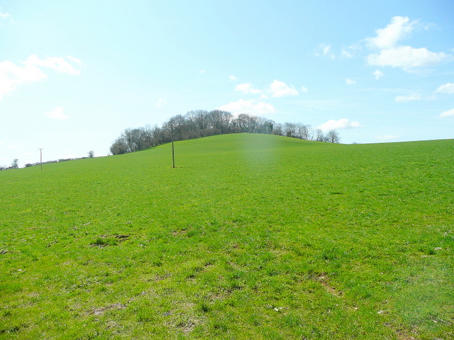
Trendle Hill is a prominent geographical feature located in Somerset, England. It is classified as a hill and stands at an elevation of approximately 220 meters (720 feet) above sea level. The hill is situated near the village of Compton Dundon and offers stunning panoramic views of the surrounding countryside.
Trendle Hill is characterized by its distinct shape, with a gently sloping ascent leading to a rounded summit. The hill is primarily composed of limestone, which gives it a unique appearance and contributes to its ecological significance. The area surrounding the hill is rich in flora and fauna, with various plant species thriving in the limestone-rich soil.
The hill has historical and cultural significance as well. It is believed that Trendle Hill was once used as a burial site during the Neolithic period, as evidenced by the presence of ancient barrows and burial mounds. These archaeological features add to the mystique and allure of the hill.
Trendle Hill is a popular destination for nature enthusiasts, hikers, and photographers. Its accessibility and well-maintained footpaths make it a suitable location for outdoor activities such as walking and picnicking. Visitors can enjoy breathtaking views of the Somerset Levels, Glastonbury Tor, and the Mendip Hills from the summit.
Overall, Trendle Hill in Somerset is a remarkable natural landmark that offers both scenic beauty and historical intrigue. Its geological composition, ecological importance, and cultural significance make it a noteworthy destination for locals and tourists alike.
If you have any feedback on the listing, please let us know in the comments section below.
Trendle Hill Images
Images are sourced within 2km of 51.109782/-2.4752248 or Grid Reference ST6634. Thanks to Geograph Open Source API. All images are credited.


Trendle Hill is located at Grid Ref: ST6634 (Lat: 51.109782, Lng: -2.4752248)
Administrative County: Somerset
District: South Somerset
Police Authority: Avon and Somerset
What 3 Words
///secrets.estimates.language. Near Bruton, Somerset
Nearby Locations
Related Wikis
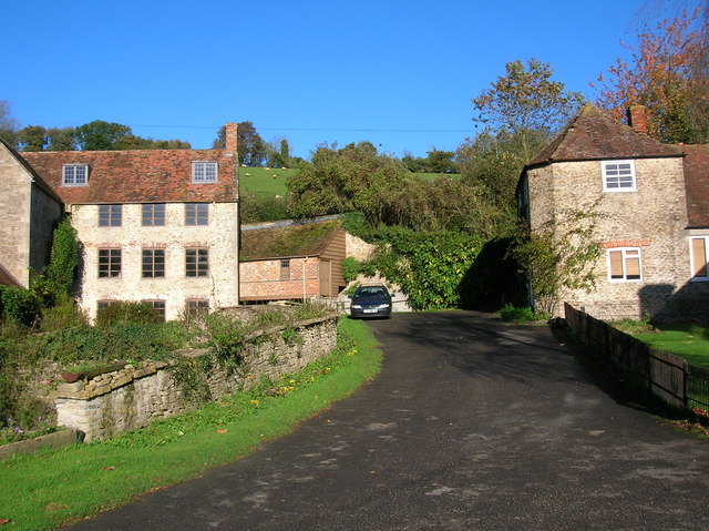
Gants Mill
Gants Mill is a watermill on the River Brue in Pitcombe near Bruton, Somerset, England. Much of the current mill was built in 1810 but includes parts of...
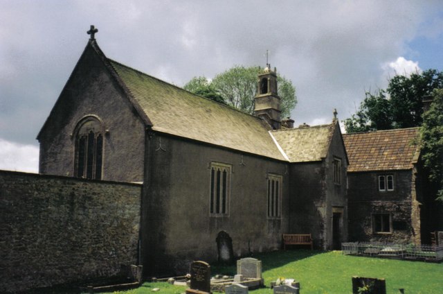
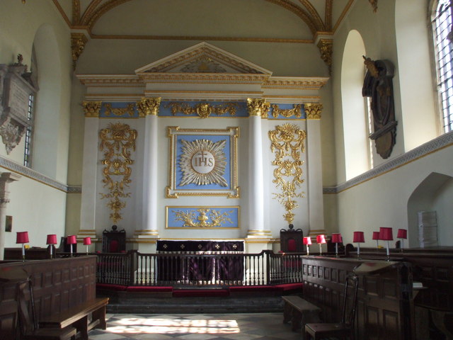
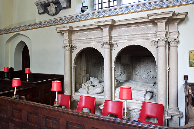
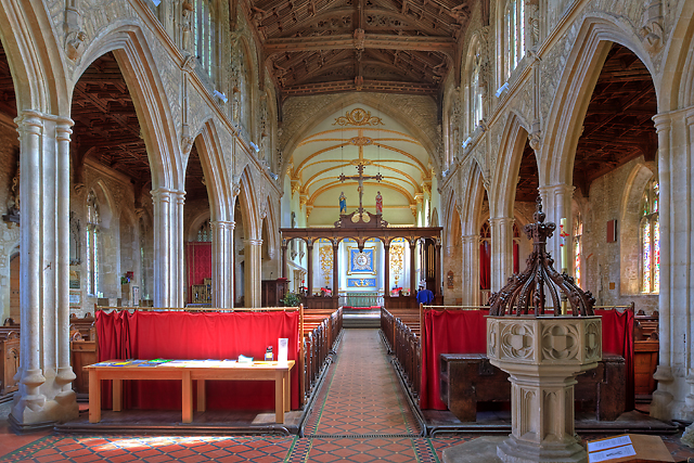
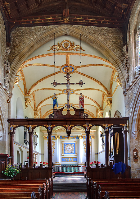
Church of the Holy Trinity, Wyke Champflower
The Church of the Holy Trinity in Wyke Champflower, Bruton, Somerset, England, dates from 1623 and has been designated as a Grade I listed building.A wooden...

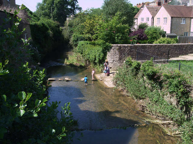
River Pitt
The River Pitt, also known as the Piddy, is a short tributary of the River Brue in Somerset, England. It rises near Hardway in the parish of Brewham,...
Creech Hill
Creech Hill is a hill in south east Somerset, England, which is notable for a univallate Iron Age hill fort. The hill is situated approximately 1.2 miles...
Have you been to Trendle Hill?
Leave your review of Trendle Hill below (or comments, questions and feedback).