Bayard Hill

Hill, Mountain in Dorset

England

Bayard Hill

Old Pucksey Brook Railway Bridge Bridge on the disused Abbotsbury railway.
Old Pucksey Brook Railway Bridge Credit: Thomas McCabe

Bayard Hill is a prominent hill located in the county of Dorset, England. With an elevation of 208 meters (682 feet), it stands as one of the highest points in the region, offering breathtaking panoramic views of the surrounding countryside. It is situated approximately 4 kilometers (2.5 miles) northeast of the town of Blandford Forum.

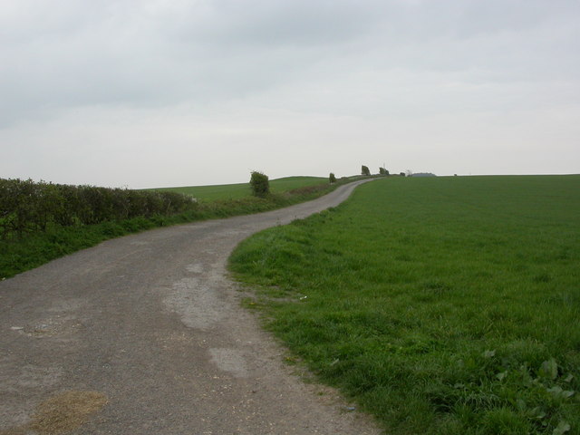
The hill is predominantly covered in lush green grass, dotted with occasional patches of heather and gorse. It is largely devoid of trees, providing an unobstructed view of the landscape. Bayard Hill is a popular destination for hikers, nature enthusiasts, and those seeking a tranquil escape from the bustling city life.

The summit of Bayard Hill is easily accessible via well-maintained footpaths, making it an ideal spot for outdoor activities such as picnicking, birdwatching, and photography. On a clear day, visitors can enjoy stunning vistas that stretch across the rolling hills and valleys of Dorset, with notable landmarks such as the Cranborne Chase Area of Outstanding Natural Beauty and the Blackmore Vale visible in the distance.

In addition to its natural beauty, Bayard Hill also holds historical significance. It is believed to have been named after the legendary horse Bayard, which belonged to the famous knight Sir Bevis of Hampton. The hill has been a part of the local folklore for centuries, adding to its charm and allure. Whether one seeks tranquility, natural beauty, or a touch of history, Bayard Hill in Dorset offers an idyllic setting for all.

If you have any feedback on the listing, please let us know in the comments section below.
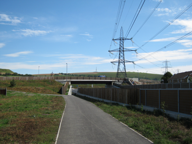
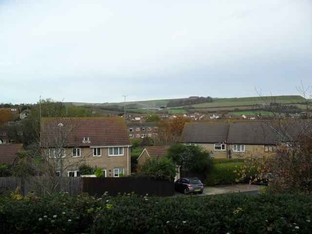
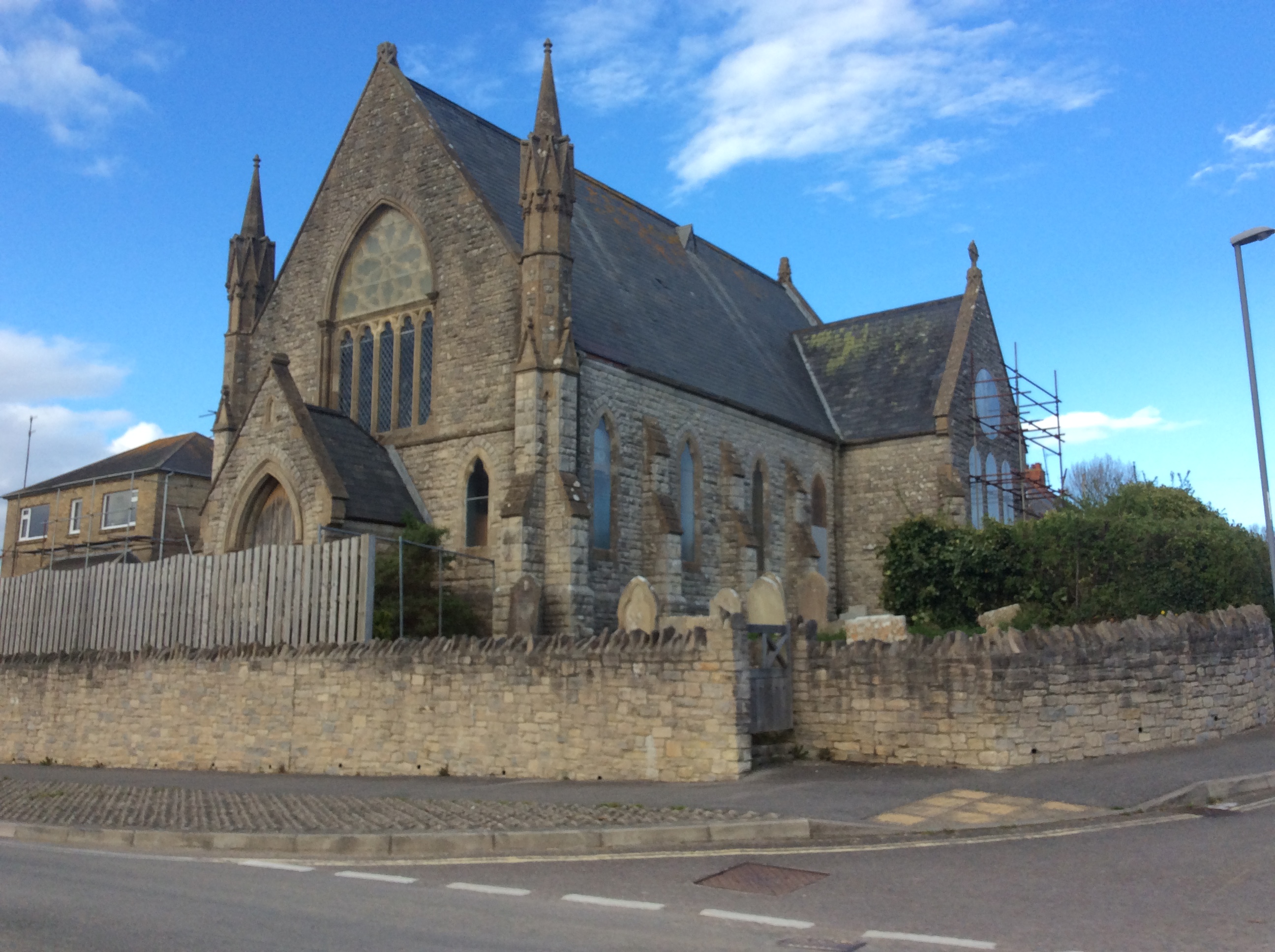
Bayard Hill Images

Images are sourced within 2km of 50.666462/-2.4729545 or Grid Reference SY6685. Thanks to Geograph Open Source API. All images are credited.

Old Pucksey Brook Railway Bridge Bridge on the disused Abbotsbury railway.
Old Pucksey Brook Railway Bridge
Bridge on the disused Abbotsbury railway.
Railway from Upwey towards Dorchester Looking north from Upwey station in Dorset. Next station ahead for GWR trains is Dorchester West on the route to Bristol and Gloucester. Next station ahead for South Western Railway trains is Dorchester South on the route to London Waterloo.
Railway from Upwey towards Dorchester
Looking north from Upwey station in Dorset. Next station ahead for GWR trains is Dorchester West on the route to Bristol and Gloucester. Next station ahead for South Western Railway trains is Dorchester South on the route to London Waterloo.
North through Upwey station, Dorset Viewed from the station footbridge. <a title="https://www.geograph.org.uk/photo/6205950" href="https://www.geograph.org.uk/photo/6205950">Link</a> 
Ahead for Dorchester.
North through Upwey station, Dorset
Viewed from the station footbridge. Link Ahead for Dorchester.
Gipsies' Corner, Winterbourne Monkton Off the A354
Gipsies' Corner, Winterbourne Monkton
Off the A354
Elwell, new lay-by This location flummoxed me, as it makes no sense on my (admittedly) 2004 OS Explorer; but it also seems to make no sense on the version of Landranger supplied for Geograph.  Must be something to do with the relief road; apparently new road, with new bridges.
Elwell, new lay-by
This location flummoxed me, as it makes no sense on my (admittedly) 2004 OS Explorer; but it also seems to make no sense on the version of Landranger supplied for Geograph. Must be something to do with the relief road; apparently new road, with new bridges.
Broadwey, River Wey Looking upstream from Littlemead. Adjacent properties need a road/footbridge for access.
Broadwey, River Wey
Looking upstream from Littlemead. Adjacent properties need a road/footbridge for access.
Broadwey, community centre On Dorchester Road, the Frank Reynolds Community Centre, with social and snooker clubs.
Broadwey, community centre
On Dorchester Road, the Frank Reynolds Community Centre, with social and snooker clubs.
Upwey, Elwell Street Joining Dorchester Road to Church Street, showing a variety of cottage styles and finishes.
Upwey, Elwell Street
Joining Dorchester Road to Church Street, showing a variety of cottage styles and finishes.
Upwey, closed road Dorchester Road is closed at Ridgeway Hill, for works on the Weymouth Relief Road.
Upwey, closed road
Dorchester Road is closed at Ridgeway Hill, for works on the Weymouth Relief Road.
Upwey, farm entrance To Westbrook Farm, via bridge or ford across the River Wey; note the barn on staddle stones.
Upwey, farm entrance
To Westbrook Farm, via bridge or ford across the River Wey; note the barn on staddle stones.
Upwey, River Wey At the entrance to Westbrook Farm, via bridge or ford; Church Street to the left.
Upwey, River Wey
At the entrance to Westbrook Farm, via bridge or ford; Church Street to the left.
Upwey, farm buildings At Westbrook Farm.
Upwey, farm buildings
At Westbrook Farm.
Upwey, The Riverhouse Inn Pub on Church Street, formerly Masons Arms. Internally, bar to right, with two drinking areas to left and back; some exposed brickwork and a large collection of jugs and mugs hanging from the ceiling; bed and breakfast, garden. Cask ale on offer at my visit: Usher's 1824. For some customer comments, see <span class="nowrap"><a title="http://www.beerintheevening.com/pubs/s/26/26024/Riverhouse_Inn/Upwey" rel="nofollow ugc noopener" href="http://www.beerintheevening.com/pubs/s/26/26024/Riverhouse_Inn/Upwey">Link</a><img style="margin-left:2px;" alt="External link" title="External link - shift click to open in new window" src="https://s1.geograph.org.uk/img/external.png" width="10" height="10"/></span>
Upwey, The Riverhouse Inn
Pub on Church Street, formerly Masons Arms. Internally, bar to right, with two drinking areas to left and back; some exposed brickwork and a large collection of jugs and mugs hanging from the ceiling; bed and breakfast, garden. Cask ale on offer at my visit: Usher's 1824. For some customer comments, see LinkExternal link
Upwey, bridleway To Bincombe. The bridleway forms part of South West Coast Path, and also the boundary between West Dorset, left, and Weymouth & Portland, right.
Upwey, bridleway
To Bincombe. The bridleway forms part of South West Coast Path, and also the boundary between West Dorset, left, and Weymouth & Portland, right.
Roundabout over the Weymouth Relief Road The Littlemoor Road crosses and joins the A354 Weymouth Relief Road under the cables of the National Grid. <a href="https://www.geograph.org.uk/photo/2018966">SY6884 : Transmitter mast, Bincombe Hill</a> is clearly visible on the skyline. Seen from <a href="https://www.geograph.org.uk/photo/2548535">SY6783 : Footpath beside the Weymouth Relief Road</a>.
Roundabout over the Weymouth Relief Road
The Littlemoor Road crosses and joins the A354 Weymouth Relief Road under the cables of the National Grid. SY6884 : Transmitter mast, Bincombe Hill is clearly visible on the skyline. Seen from SY6783 : Footpath beside the Weymouth Relief Road.
The Finches 1980s houses in Upwey.
The Finches
1980s houses in Upwey.
Upwey Power cables in Weymouth.
Upwey
Power cables in Weymouth.
Upwey Suburbs of Weymouth.
Upwey
Suburbs of Weymouth.
Show me another place!

Bayard Hill is located at Grid Ref: SY6685 (Lat: 50.666462, Lng: -2.4729545)

Unitary Authority: Dorset

Police Authority: Dorset

What 3 Words

///pencils.gobblers.hairspray. Near Overcombe, Dorset

Nearby Locations

Ridgeway Hill Bayard Hill

Related Wikis

Related Videos

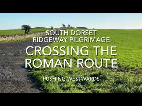
South Dorset Ridgeway Pilgrimage - Crossing the Roman Route

Continuing the pilgrimage from Bank Barrow to Bank Barrow, heading west over the main road between Dorchester and ...

Upwey Wishing Well, Weymouth

A look around the gardens at Upwey Wishing Well near Weymouth, Dorset.

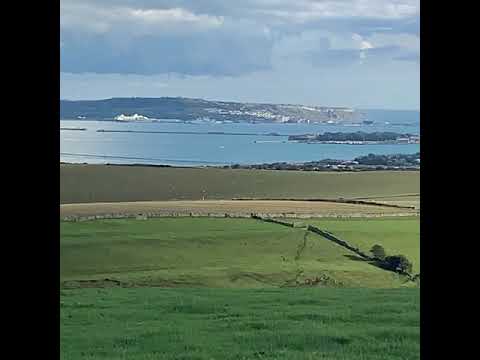
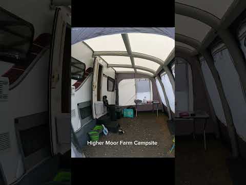
Bincome Bumps Dorset

Camping trip to Weymouth Dorset, stunning views from our camp site.

Nearby Amenities

Located within 500m of 50.666462,-2.4729545
Barrier: stile
Foot: yes
Material: stone
Stile: stepover
Lat/Long: 50.6633501/-2.4729246
Barrier: stile
Foot: yes
Material: stone
Stile: stepover
Lat/Long: 50.6651474/-2.4781254
Upwey
Place: village
Wikidata: Q9091871
Lat/Long: 50.6626205/-2.4694296
Material: wood
Power: pole
Source: bing
Lat/Long: 50.6627448/-2.4738919
Material: wood
Power: pole
Source: bing
Lat/Long: 50.6639639/-2.4731355
Material: wood
Power: pole
Source: bing
Lat/Long: 50.6647323/-2.4728807
Material: wood
Power: pole
Source: bing
Lat/Long: 50.6652254/-2.4727171
Material: wood
Power: pole
Source: bing
Lat/Long: 50.666458/-2.4723014
Material: wood
Power: pole
Source: bing
Lat/Long: 50.6670802/-2.472119
Material: wood
Power: pole
Source: bing
Transformer: distribution
Lat/Long: 50.667693/-2.4764279
Material: wood
Power: pole
Source: bing
Lat/Long: 50.6676939/-2.4719151
Material: wood
Power: pole
Source: bing
Lat/Long: 50.6678443/-2.4775571
Material: wood
Power: pole
Source: bing
Lat/Long: 50.6679447/-2.4687743
Material: wood
Power: pole
Source: bing
Lat/Long: 50.668011/-2.4786971
Material: wood
Power: pole
Source: bing
Lat/Long: 50.6684028/-2.4701288
Material: wood
Power: pole
Source: bing
Lat/Long: 50.6683909/-2.471671
Material: wood
Power: pole
Source: bing
Lat/Long: 50.6688202/-2.4784342
Material: wood
Power: pole
Source: bing
Lat/Long: 50.6688618/-2.4715316
Material: wood
Power: pole
Source: bing
Lat/Long: 50.669297/-2.4728056
Material: wood
Power: pole
Source: bing
Lat/Long: 50.6697067/-2.474018
Material: wood
Power: pole
Source: bing
Lat/Long: 50.6702065/-2.4754905
Barrier: stile
Foot: yes
Material: stone
Stile: stepover
Lat/Long: 50.6652462/-2.4784765
Bayard Hill
Natural: peak
Lat/Long: 50.6663588/-2.4741316
Power: pole
Source: bing
Lat/Long: 50.6676841/-2.4680266
Power: pole
Source: bing
Lat/Long: 50.6681463/-2.4673763
Power: pole
Source: bing
Switch: yes
Lat/Long: 50.6681975/-2.4670368
Post Box
Collection Times: Mo-Fr 09:00; Sa 07:00
Operator: Royal Mail
Post Box Type: lamp
Ref: DT3 117D
Ref GB Uprn: 10015282596
Royal Cypher: EIIR
Royal Cypher Wikidata: Q33102113
Source: survey
Survey Date: 2023-01-21
Lat/Long: 50.6628934/-2.4695963
Post Box
Collection Times: Mo-Fr 09:00; Sa 07:00
Operator: Royal Mail
Post Box Type: lamp
Ref: DT3 70D
Ref GB Uprn: 10015425252
Royal Cypher: EIIR
Royal Cypher Wikidata: Q33102113
Source: survey
Survey Date: 2023-02-05
Lat/Long: 50.6647937/-2.4794471
The data included in this document is from www.openstreetmap.org. The data is made available under ODbL.

Have you been to Bayard Hill?

Leave your review of Bayard Hill below (or comments, questions and feedback).