Chapel Hill

Hill, Mountain in Westmorland Eden

England

Chapel Hill

A66 Appleby Bypass Viewed from a passing train.
A66 Appleby Bypass Credit: Stephen Craven

Chapel Hill is a small village located in the district of Westmorland, Cumbria, England. Situated on a hill, it offers stunning views of the surrounding mountainous landscape. The village is nestled amidst the picturesque Lake District National Park, making it a popular destination for nature enthusiasts and hikers.

The village is characterized by its quaint and peaceful atmosphere, with traditional stone houses and charming cottages dotting the landscape. Chapel Hill is known for its strong sense of community, with friendly and welcoming residents.

One of the notable landmarks in Chapel Hill is the village chapel, which dates back to the 18th century. The chapel serves as a focal point for the community, hosting regular religious services and community events.

The surrounding area offers numerous outdoor activities for visitors to enjoy. The nearby mountains and hills provide ample opportunities for hiking, with trails catering to all levels of experience. The scenic beauty of the region also makes it a popular spot for photography enthusiasts.

Chapel Hill is well-connected to neighboring towns and cities, with good road and rail links. This makes it easily accessible for both locals and tourists looking to explore the wider Westmorland area.

In summary, Chapel Hill is a charming village nestled in the scenic Westmorland district. With its stunning natural surroundings, strong community spirit, and access to outdoor activities, it is a delightful destination for those seeking a peaceful and picturesque getaway.

If you have any feedback on the listing, please let us know in the comments section below.
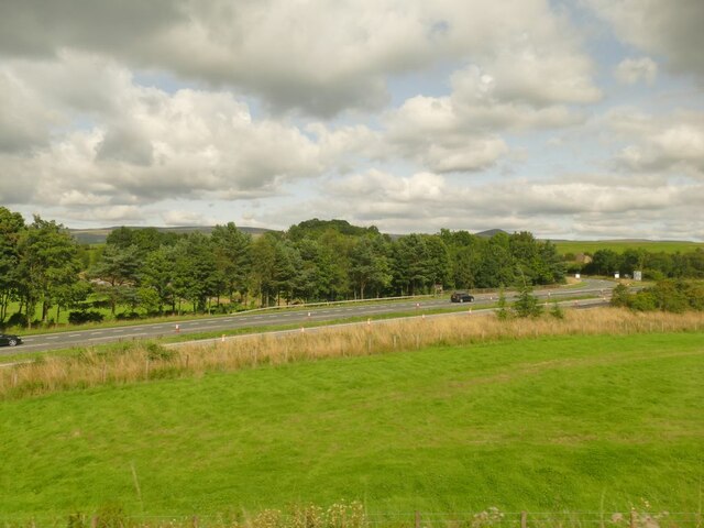
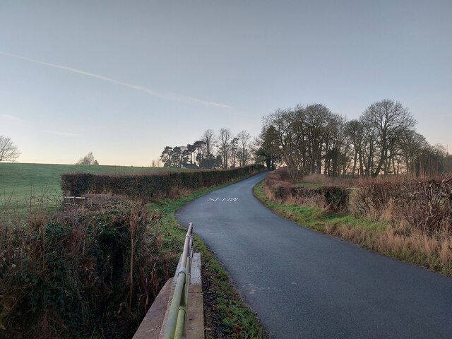
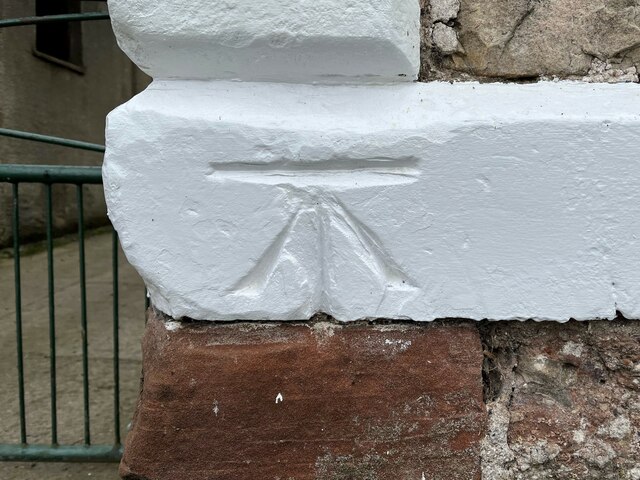
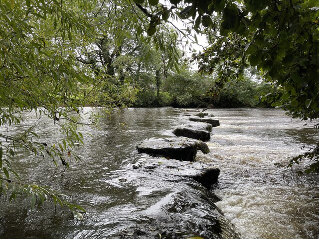
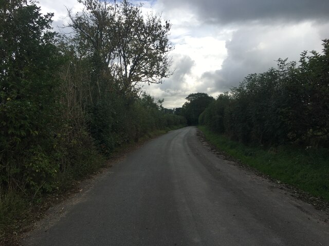
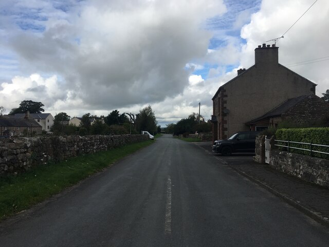
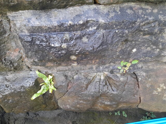
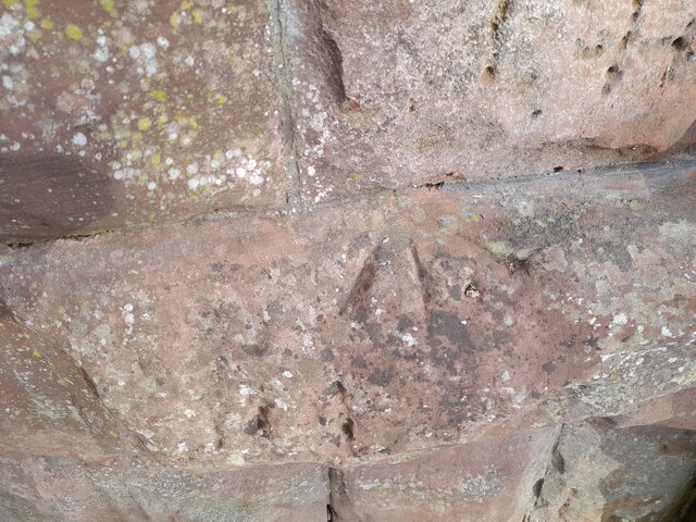
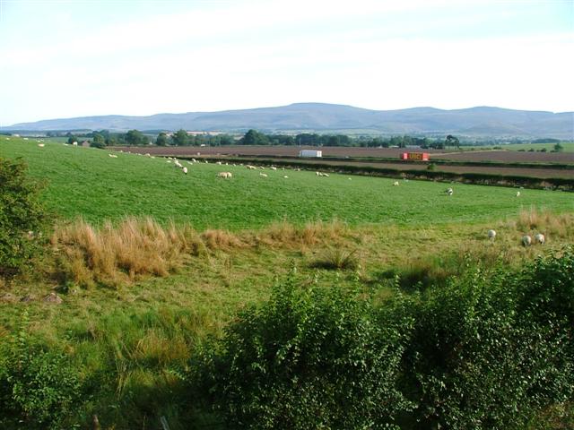
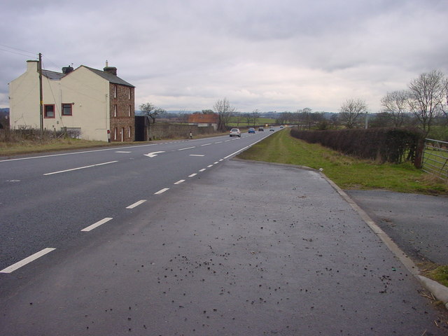
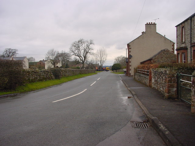
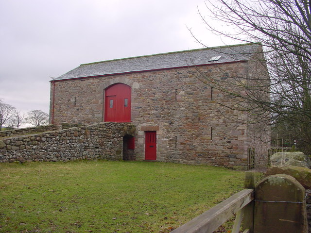
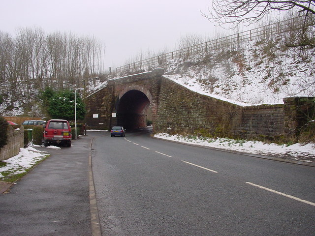
Chapel Hill Images

Images are sourced within 2km of 54.590238/-2.5174045 or Grid Reference NY6621. Thanks to Geograph Open Source API. All images are credited.

A66 Appleby Bypass Viewed from a passing train.
A66 Appleby Bypass
Viewed from a passing train.
South End
South End
Benchmark, Brampton, Clickham Farm Detail of an Ordnance Survey benchmark on the corner of the farmhouse at Clickham Farm.  The benchmark marks a height of 166.1983m above mean sea level (Ordnance Datum Newlyn) last verified in 1955.
Benchmark, Brampton, Clickham Farm
Detail of an Ordnance Survey benchmark on the corner of the farmhouse at Clickham Farm. The benchmark marks a height of 166.1983m above mean sea level (Ordnance Datum Newlyn) last verified in 1955.
Steam train approaching Appleby Railway Station Appleby is a town of around 2500 residents, located around 30 miles south east of Carlisle and around 42 miles north west of Settle by rail.

The station opened in May 1876 when the Leeds to Carlisle via Settle line was opened to passengers by the Midland Railway company. In 1923 it became part of the London, Midland and Scottish Railway company and as a result of nationalisation in 1948 it was passed to British Railways ownership. It was known as Appleby West from 1952 until 1968, due to the presence of another station on a different line in the town. Today it is operated by Northern Rail <span class="nowrap"><a title="http://www.northernrail.org/" rel="nofollow ugc noopener" href="http://www.northernrail.org/">Link</a><img style="margin-left:2px;" alt="External link" title="External link - shift click to open in new window" src="https://s1.geograph.org.uk/img/external.png" width="10" height="10"/></span> .

For several years from 1970, Appleby was one of only two open intermediate stations on the line between Skipton and Carlisle (the other being Settle), fortunately that situation has now changed and many of the intermediate stations have been re-opened.
Steam train approaching Appleby Railway Station
Appleby is a town of around 2500 residents, located around 30 miles south east of Carlisle and around 42 miles north west of Settle by rail. The station opened in May 1876 when the Leeds to Carlisle via Settle line was opened to passengers by the Midland Railway company. In 1923 it became part of the London, Midland and Scottish Railway company and as a result of nationalisation in 1948 it was passed to British Railways ownership. It was known as Appleby West from 1952 until 1968, due to the presence of another station on a different line in the town. Today it is operated by Northern Rail LinkExternal link . For several years from 1970, Appleby was one of only two open intermediate stations on the line between Skipton and Carlisle (the other being Settle), fortunately that situation has now changed and many of the intermediate stations have been re-opened.
Stepping Stones at Colby Laithes Far too slippery to attempt a crossing today. These stepping stones are found on the River Eden just outside Appleby-in-Westmorland.
Stepping Stones at Colby Laithes
Far too slippery to attempt a crossing today. These stepping stones are found on the River Eden just outside Appleby-in-Westmorland.
Minor road to Crackenthorpe
Road through Crackenthorpe
Ordnance Survey Cut Mark This OS cut mark can be found on the wall west side of the road.
Ordnance Survey Cut Mark
This OS cut mark can be found on the wall west side of the road.
Ordnance Survey Pivot This OS pivot can be found on the north face of the railway bridge.
Ordnance Survey Pivot
This OS pivot can be found on the north face of the railway bridge.
Ordnance Survey Pivot This OS pivot can be found on the SE side of the railway bridge.
Ordnance Survey Pivot
This OS pivot can be found on the SE side of the railway bridge.
Ordnance Survey Cut Mark This OS cut mark can be found on Clickham Farm. It marks a point 166.198m above mean sea level.
Ordnance Survey Cut Mark
This OS cut mark can be found on Clickham Farm. It marks a point 166.198m above mean sea level.
Brampton Carriage riding on the quiet country lanes in the Eden Valley
Brampton
Carriage riding on the quiet country lanes in the Eden Valley
Brampton Horse in a field of buttercups near Brampton, Appleby
Brampton
Horse in a field of buttercups near Brampton, Appleby
Farmland, Near Bolton Taken looking north from the bend on the minor road to Bolton. The lorries are heading west on the A66. In the distance can be seen the flat summit of Cross  Fell.
Farmland, Near Bolton
Taken looking north from the bend on the minor road to Bolton. The lorries are heading west on the A66. In the distance can be seen the flat summit of Cross Fell.
A66 at Brockham Cottage Just beyond the cottage is a tin hut, which has served as a chapel.
A66 at Brockham Cottage
Just beyond the cottage is a tin hut, which has served as a chapel.
Crackenthorpe A small hamlet off the A66
Crackenthorpe
A small hamlet off the A66
Barn at Crackenthorpe
Railway Bridge at Appleby
Show me another place!

Chapel Hill is located at Grid Ref: NY6621 (Lat: 54.590238, Lng: -2.5174045)

Administrative County: Cumbria

District: Eden

Police Authority: Cumbria

What 3 Words

///grinders.reeling.workshop. Near Appleby-in-Westmorland, Cumbria

Related Wikis

Nearby Amenities

Located within 500m of 54.590238,-2.5174045
Bus Stop
Crackenthorpe Road End
Bench: no
Covered: no
Flag: no
Local Ref: AT
Naptan AtcoCode: 090074171048
Naptan Bearing: N
Naptan BusStopType: CUS
Naptan CommonName: Road End
Naptan Indicator: at
Naptan Landmark: A66 junction
Naptan NaptanCode: cumdagdw
Naptan Street: No name
Shelter: no
Source: naptan_import
Lat/Long: 54.591633/-2.5237404
Power: pole
Lat/Long: 54.5871669/-2.5140848
Power: pole
Lat/Long: 54.5876224/-2.5172076
Power: pole
Lat/Long: 54.5869463/-2.5125459
Power: pole
Lat/Long: 54.5914004/-2.5213294
Power: pole
Lat/Long: 54.5883855/-2.5192621
Power: pole
Lat/Long: 54.587857/-2.5188886
Power: pole
Lat/Long: 54.5889201/-2.5196001
Power: pole
Lat/Long: 54.587397/-2.5156599
Power: pole
Lat/Long: 54.5900595/-2.520274
Power: pole
Lat/Long: 54.5931923/-2.5227832
Power: pole
Lat/Long: 54.5923034/-2.5220751
Generator Method: photovoltaic
Generator Output Electricity: yes
Generator Source: solar
Generator Type: solar_photovoltaic_panel
Location: roof
Power: generator
Lat/Long: 54.5920418/-2.5233689
Power: pole
Lat/Long: 54.5921802/-2.5144527
Power: pole
Lat/Long: 54.5920336/-2.5157894
Power: pole
Lat/Long: 54.5919007/-2.5169363
Power: pole
Lat/Long: 54.5918377/-2.5174543
Power: pole
Lat/Long: 54.5916257/-2.5194119
Power: pole
Lat/Long: 54.5915753/-2.5220022
Power: pole
Lat/Long: 54.5917437/-2.5226686
Power: pole
Lat/Long: 54.5904078/-2.5207704
Power: pole
Lat/Long: 54.5901203/-2.5195859
Power: pole
Lat/Long: 54.5901558/-2.5190224
The data included in this document is from www.openstreetmap.org. The data is made available under ODbL.

Have you been to Chapel Hill?

Leave your review of Chapel Hill below (or comments, questions and feedback).