Hazel Hill

Hill, Mountain in Gloucestershire Forest of Dean

England

Hazel Hill

Jubilee Road, Mitcheldean Looking north towards Plump Hill.
Jubilee Road, Mitcheldean Credit: Jonathan Billinger

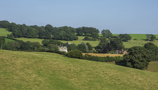
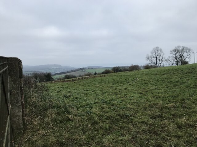
Hazel Hill is a small hill located in the county of Gloucestershire, England. Situated near the village of Blakeney, this picturesque hill stands at an elevation of approximately 200 meters (656 feet) above sea level. It is a prominent feature of the local landscape and offers stunning panoramic views of the surrounding countryside.

Covered in dense woodland, Hazel Hill gets its name from the abundance of hazel trees that grow in the area. These trees, along with other native species such as oak and beech, create a lush and vibrant forest environment. The hill is also home to a variety of wildlife, including deer, foxes, and a wide range of bird species, making it a popular destination for nature enthusiasts and birdwatchers.

Hazel Hill is a popular destination for outdoor activities and is well-suited for hillwalking and hiking. There are several well-maintained trails that wind through the hill, offering visitors the opportunity to explore its natural beauty. The paths are often surrounded by wildflowers and offer glimpses of the stunning views that await at the hill's summit.

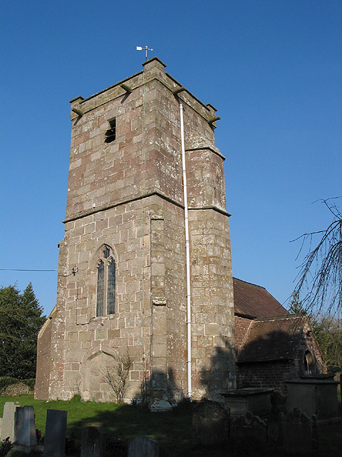
In addition to its natural beauty, Hazel Hill has historical significance as well. The area is dotted with ancient burial mounds and remnants of Iron Age settlements, providing a glimpse into the region's past. These archaeological sites add an extra layer of interest and intrigue to the hill, making it a fascinating place to explore for history enthusiasts.

Overall, Hazel Hill in Gloucestershire offers a unique combination of natural beauty, wildlife, and historical significance. Whether you're seeking a peaceful walk in nature, breathtaking views, or a glimpse into the past, this small hill has something to offer for everyone.

If you have any feedback on the listing, please let us know in the comments section below.
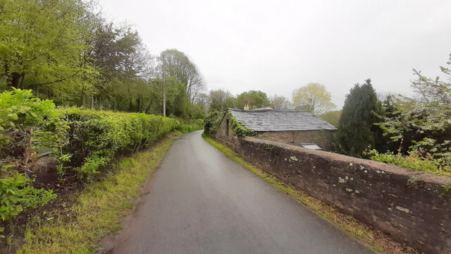
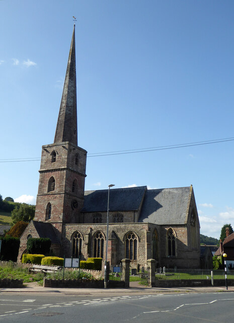
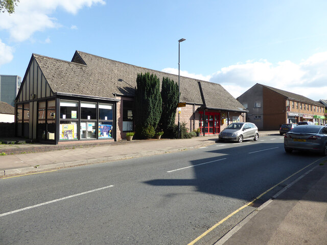
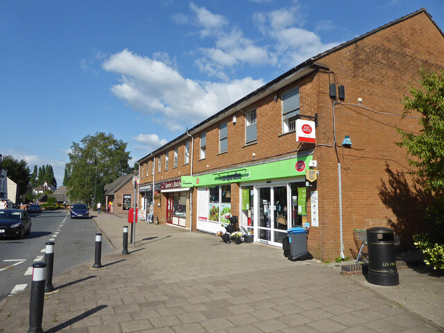
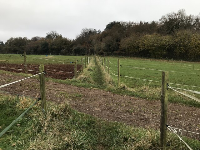
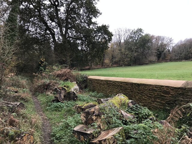
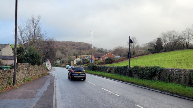
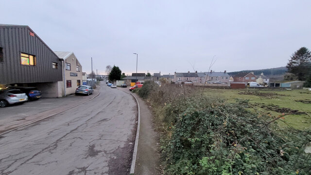
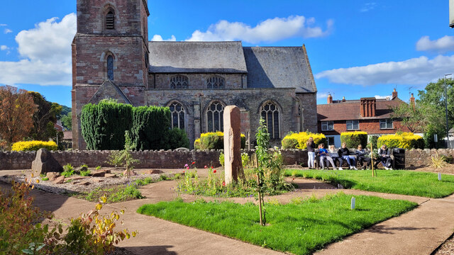
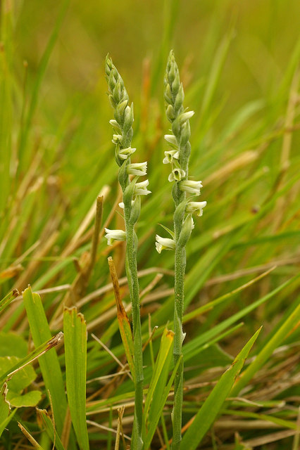
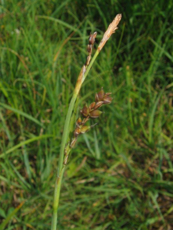
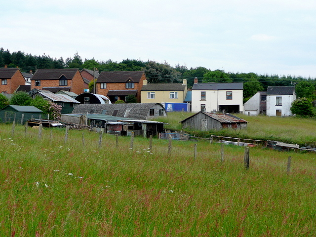
Hazel Hill Images

Images are sourced within 2km of 51.847557/-2.4929174 or Grid Reference SO6616. Thanks to Geograph Open Source API. All images are credited.

Jubilee Road, Mitcheldean Looking north towards Plump Hill.
Jubilee Road, Mitcheldean
Looking north towards Plump Hill.
Parish Church of St Michael and All Angels, Mitcheldean
Mitcheldean Library
Mitcheldean Library
Co-Operative food store and Post Office, Mitcheldean
View towards Abenhall Looking east from Jubilee Road with the tower of Abenhall church visible in the late afternoon sunshine.
View towards Abenhall
Looking east from Jubilee Road with the tower of Abenhall church visible in the late afternoon sunshine.
St Anthony's Well Image of the historic well in woodland North-west of Flaxley.
St Anthony's Well
Image of the historic well in woodland North-west of Flaxley.
Church of St Michael and All Angels, Mitcheldean A large parish church with origins stretching back to 14th century and showing subsequent changes and restorations the last being in the 19th century.
The importance of this church was recognised with Grade I listing dating all the way back to 1955 by English Heritage.
Church of St Michael and All Angels, Mitcheldean
A large parish church with origins stretching back to 14th century and showing subsequent changes and restorations the last being in the 19th century. The importance of this church was recognised with Grade I listing dating all the way back to 1955 by English Heritage.
Grassy hillside
Grassy hillside
Between paddocks
Between paddocks
Overgrown pathway
Overgrown pathway
Repaired wall
Repaired wall
A4136 Gloucester Road, Mitcheldean A Sunday morning in December.
A4136 Gloucester Road, Mitcheldean
A Sunday morning in December.
Newtown Road, Steam Mills Post-industrial landscape.
Newtown Road, Steam Mills
Post-industrial landscape.
Machinery in the woods Various pieces of equipment litter the woodland at the end of Jubilee Lane.
Machinery in the woods
Various pieces of equipment litter the woodland at the end of Jubilee Lane.
Toll House, Gloucester Road A Toll House, now an extension of Forest House. At the junction of Gloucester Road, Merrin Street, New Road and Abbenhall Road. Served Huntley and Mitcheldean Turnpike Trust.
In the wall next to the lamppost is the milestone see <a href="https://www.geograph.org.uk/photo/6035328">SO6618 : Old Milestone by the A4136, Gloucester Road, Mitcheldean</a>. Gloucestershire HER Nᴼ. 5863 see <span class="nowrap"><a title="https://www.heritagegateway.org.uk/Gateway/Results_Single.aspx?uid=5863&resourceID=108" rel="nofollow ugc noopener" href="https://www.heritagegateway.org.uk/Gateway/Results_Single.aspx?uid=5863&resourceID=108">Link</a><img style="margin-left:2px;" alt="External link" title="External link - shift click to open in new window" src="https://s1.geograph.org.uk/img/external.png" width="10" height="10"/></span>

Milestone Society National ID: GL.MDE01
Toll House, Gloucester Road
A Toll House, now an extension of Forest House. At the junction of Gloucester Road, Merrin Street, New Road and Abbenhall Road. Served Huntley and Mitcheldean Turnpike Trust. In the wall next to the lamppost is the milestone see SO6618 : Old Milestone by the A4136, Gloucester Road, Mitcheldean. Gloucestershire HER Nᴼ. 5863 see LinkExternal link Milestone Society National ID: GL.MDE01
Toll House, A4136, Plump Hill Within the parish of Mitcheldean. The frontage was replaced in 1893 when the building was re-named Grove Cottage. The visible parts of the side and rear are clearly much older and would have been the building depicted on 1877 maps as the Plumphill Gate (TP) when it had a part of the building extending to the road. The flat roof extension is modern. Served the Huntley and Mitcheldean Turnpike Trust.

Inscription: Grove Cottage / 1893

Milestone Society National ID: GL.MIT
Toll House, A4136, Plump Hill
Within the parish of Mitcheldean. The frontage was replaced in 1893 when the building was re-named Grove Cottage. The visible parts of the side and rear are clearly much older and would have been the building depicted on 1877 maps as the Plumphill Gate (TP) when it had a part of the building extending to the road. The flat roof extension is modern. Served the Huntley and Mitcheldean Turnpike Trust. Inscription: Grove Cottage / 1893 Milestone Society National ID: GL.MIT
Memorial garden, Mitcheldean Being used by some of the younger members of the community on this sunny July afternoon.
Memorial garden, Mitcheldean
Being used by some of the younger members of the community on this sunny July afternoon.
Old Boundary Stone, Mitcheldean One of the many boundary stone delineating the periphery of the "Forest of Dean". The "Forest" is very specific because resident have "rights in common" like grazing sheep and coal mining, though you may have to be born there to classify as a "free miner". This is on the Northern verge of "The Stenders". Mitcheldean is to the East, while East Dean parish is to the West. The boundary runs along the road from the next <a href="https://www.geograph.org.uk/photo/7295087">SO6518 : Modern Boundary Stone, Mitcheldean</a> and turns North here.

Inscription: D.F / 1832 / N. 180

Milestone Society National ID: GL_DFMITC180em
Old Boundary Stone, Mitcheldean
One of the many boundary stone delineating the periphery of the "Forest of Dean". The "Forest" is very specific because resident have "rights in common" like grazing sheep and coal mining, though you may have to be born there to classify as a "free miner". This is on the Northern verge of "The Stenders". Mitcheldean is to the East, while East Dean parish is to the West. The boundary runs along the road from the next SO6518 : Modern Boundary Stone, Mitcheldean and turns North here. Inscription: D.F / 1832 / N. 180 Milestone Society National ID: GL_DFMITC180em
Show me another place!

Hazel Hill is located at Grid Ref: SO6616 (Lat: 51.847557, Lng: -2.4929174)

Administrative County: Gloucestershire

District: Forest of Dean

Police Authority: Gloucestershire

What 3 Words

///storyline.dozed.roofer. Near Mitcheldean, Gloucestershire

Related Wikis

Westbury Brook Ironstone Mine

Westbury Brook Ironstone Mine (grid reference SO662166) is a 15.69-hectare (38.8-acre) biological Site of Special Scientific Interest in Gloucestershire...

Edgehills Quarry

Edgehills Quarry (grid reference SO660167) is a 0.4-hectare (0.99-acre) geological Site of Special Scientific Interest in Gloucestershire, notified in...

Plump Hill Dolomite Quarry

Plump Hill Dolomite Quarry (grid reference SO661171) is a 4.5-hectare (11-acre) nature reserve in Gloucestershire in the Forest of Dean.The site is managed...

Edgehills Bog

Edgehills Bog (grid reference SO660154) is a 0.66-hectare (1.6-acre) nature reserve in Gloucestershire in the Forest of Dean.The site is managed by the...

Harrow Hill, Gloucestershire

Harrow Hill is a village situated in the Forest of Dean in Gloucestershire, England. It is contiguous with the larger village of Drybrook. Originally,...

Dene Magna School

Dene Magna School is a secondary school in Mitcheldean, Gloucestershire, England. The school takes both girls and boys, and has 1005 pupils aged between...

Abenhall

Abenhall is a small village and former civil parish, now in the parish of Mitcheldean, in the Forest of Dean district, in the county of Gloucestershire...

Gun's Mills, Flaxley

Gun's Mills, at Flaxley, in the Forest of Dean, Gloucestershire, England, was a major industrial site from the 17th century. Originally built as an armaments...

Nearby Amenities

Located within 500m of 51.847557,-2.4929174
Bus Stop
The Wilderness
Naptan AtcoCode: 1600GLA36685
Naptan Bearing: SW
Naptan CommonName: The Wilderness
Naptan Indicator: Opp
Naptan NaptanCode: glogmgmd
Naptan Street: A4136
Naptan Verified: no
Source: naptan_import
Lat/Long: 51.8502099/-2.4955623
Bus Stop
The Wilderness
Naptan AtcoCode: 1600GLA36686
Naptan Bearing: NE
Naptan CommonName: The Wilderness
Naptan NaptanCode: glogmgmg
Naptan Street: A4136
Naptan Verified: no
Source: naptan_import
Lat/Long: 51.8504897/-2.4953186
Disused: yes
Man Made: mineshaft
Lat/Long: 51.8459911/-2.4912287
Fixme: incomplete
Lat/Long: 51.845954/-2.4887108
Fixme: incomplete
Lat/Long: 51.8481618/-2.4906737
Power: pole
Source: Bing
Lat/Long: 51.8464767/-2.4940339
Fairplay Cottages
Brand: National Grid
Brand Wikidata: Q1465461
Operator: National Grid Electricity Distribution Plc
Operator Old: Western Power Distribution
Operator Wikidata: Q7988183
Owner: National Grid Electricity Distribution (West Midlands) Plc
Owner Wikidata: Q114397791
Power: pole
Ref GB Wpd Site: 781928
Source: Bing
Transformer: distribution
Voltage: 33000
Lat/Long: 51.8477471/-2.4976569
Power: pole
Source: Bing
Lat/Long: 51.8439531/-2.4927705
Power: pole
Source: Bing
Lat/Long: 51.8480752/-2.4984722
The data included in this document is from www.openstreetmap.org. The data is made available under ODbL.

Have you been to Hazel Hill?

Leave your review of Hazel Hill below (or comments, questions and feedback).