Kites Hill

Hill, Mountain in Gloucestershire

England

Kites Hill

Frogland Cross Farm at Frogland Cross
Frogland Cross Credit: Chris Shaw

Kites Hill is a prominent geographical feature located in the county of Gloucestershire, England. It is situated in the Cotswold Hills, a range of rolling hills known for their natural beauty and picturesque landscapes. With an elevation of approximately 278 meters (912 feet), Kites Hill stands as one of the highest points in the area, offering breathtaking panoramic views of the surrounding countryside.

The hill derives its name from the abundance of red kites, a bird of prey, which are often seen soaring above the hillside. These magnificent birds have become synonymous with the area and are a common sight for visitors and locals alike.

Kites Hill is a popular destination for outdoor enthusiasts, attracting hikers, walkers, and nature lovers. There are several well-maintained footpaths and trails that lead to the summit, providing visitors with an opportunity to explore the surrounding woodlands and open meadows. Along the way, one can encounter diverse flora and fauna, including wildflowers, butterflies, and various bird species.

At the top of Kites Hill, there is a designated viewpoint that offers unobstructed vistas of the Cotswold countryside. On a clear day, visitors can admire the patchwork of fields, charming villages, and historic landmarks that dot the landscape. It is particularly renowned for its stunning sunsets, which create a captivating spectacle as the colors of the sky merge with the rolling hills.

Overall, Kites Hill in Gloucestershire is a cherished natural landmark that provides a tranquil escape and an opportunity to connect with the beauty of the British countryside.

If you have any feedback on the listing, please let us know in the comments section below.
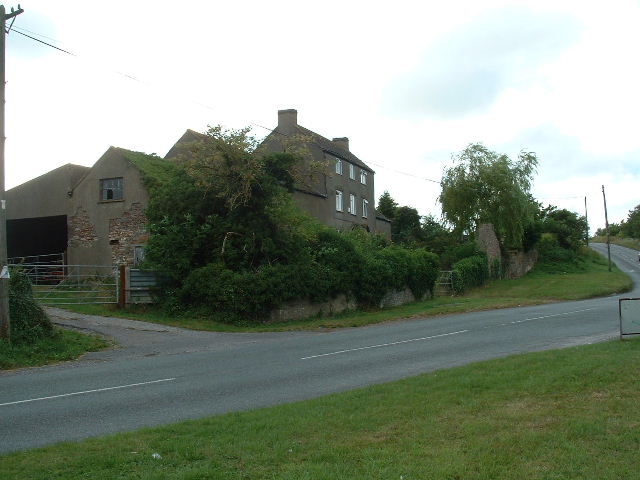
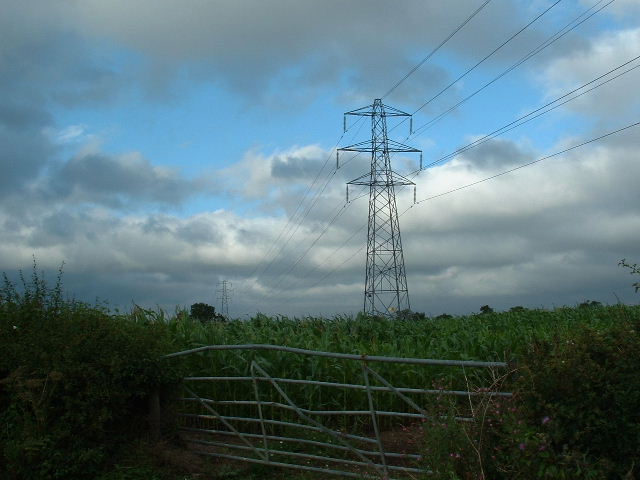
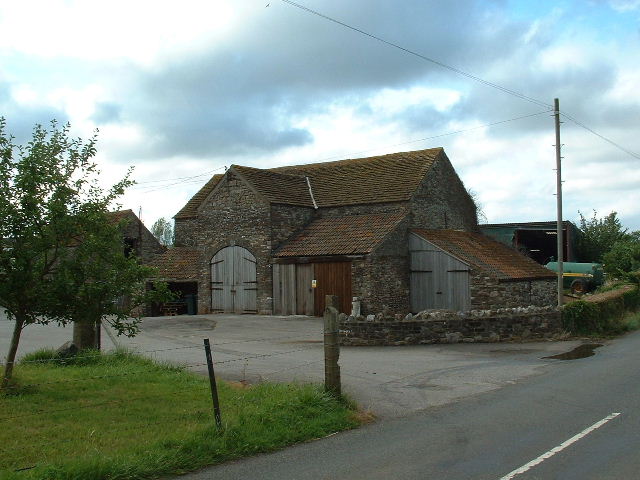
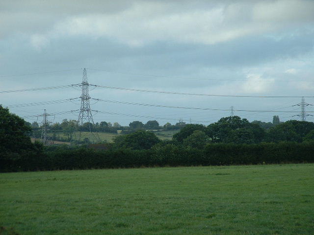
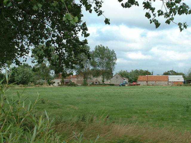
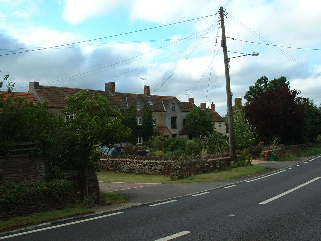
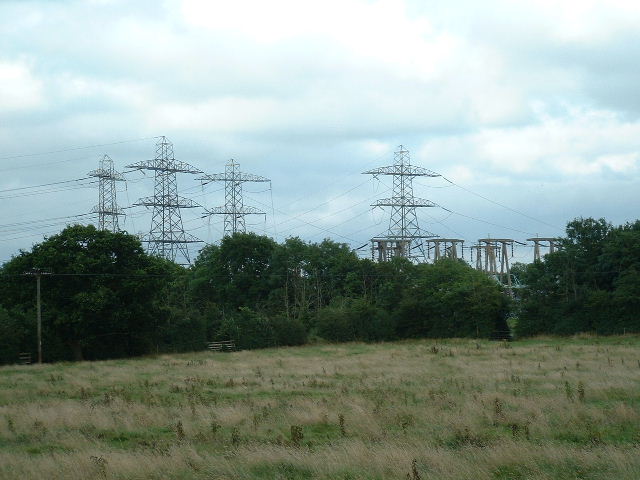
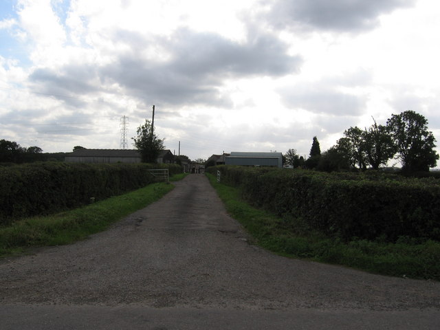
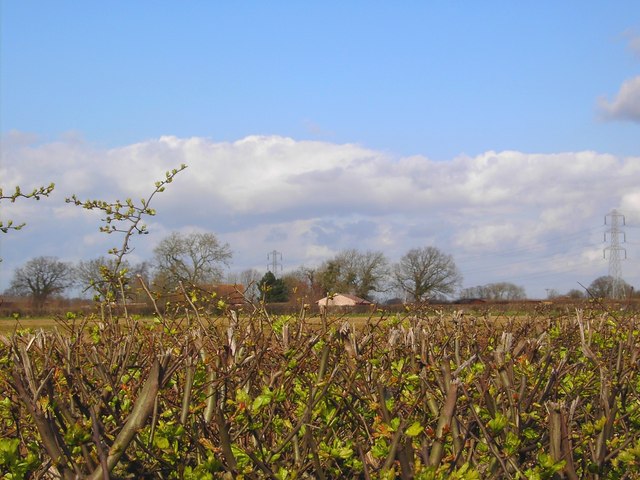
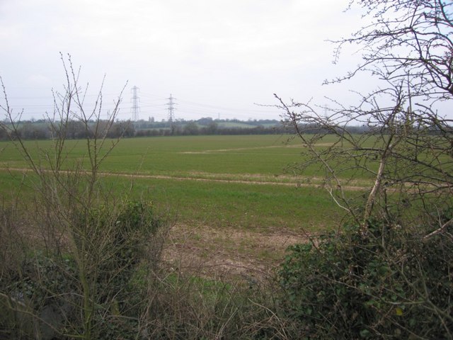
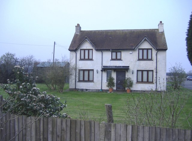
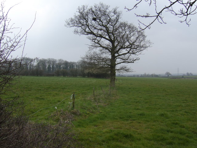
Kites Hill Images

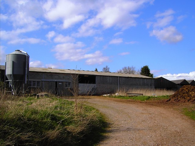
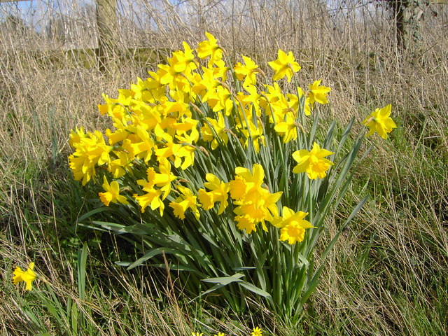
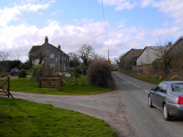
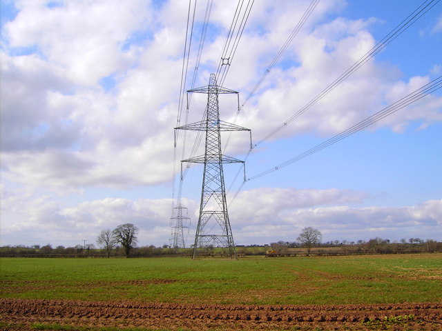
Images are sourced within 2km of 51.558727/-2.5025098 or Grid Reference ST6584. Thanks to Geograph Open Source API. All images are credited.

Frogland Cross Farm at Frogland Cross
Frogland Cross
Farm at Frogland Cross
Corn and Pylons Cornfield with extra pylons (very common around here) near centre of square
Corn and Pylons
Cornfield with extra pylons (very common around here) near centre of square
Earthcott Green Farm at Earthcott Green - SE corner of square
Earthcott Green
Farm at Earthcott Green - SE corner of square
Marle Hills Looking NNE across the square towards the Marle Hills
Marle Hills
Looking NNE across the square towards the Marle Hills
Whitehouse Farm Whitehouse Farm viewed from the South
Whitehouse Farm
Whitehouse Farm viewed from the South
Itchington Village centre looking NW near NE corner of square
Itchington
Village centre looking NW near NE corner of square
Latteridge Cottages at Lateridge village near centre of grid square
Latteridge
Cottages at Lateridge village near centre of grid square
Substation This electricity sub station may be well hidden by the trees but the pylons (dozens of them) from at least 9 incoming power lines are a feature of the countryside over a wide area.
Substation
This electricity sub station may be well hidden by the trees but the pylons (dozens of them) from at least 9 incoming power lines are a feature of the countryside over a wide area.
Entrance to Court Farm
Perrinpit Farm, North Corner, Frampton Cotterel, Bristol Appears to be a large farm to judge from the size of the buildings.
Perrinpit Farm, North Corner, Frampton Cotterel, Bristol
Appears to be a large farm to judge from the size of the buildings.
Daffodils at entrance to Perrinpit Farm, Frampton Cotterel A yellow time of year, what with daffodils, forsythia (and celandines just visible at the lower edge of the image).
Daffodils at entrance to Perrinpit Farm, Frampton Cotterel
A yellow time of year, what with daffodils, forsythia (and celandines just visible at the lower edge of the image).
Challacombe House, Perrinpit Road, Frampton Cotterel Not obviously associated with the farm opposite, it might once have been the farmhouse.
Challacombe House, Perrinpit Road, Frampton Cotterel
Not obviously associated with the farm opposite, it might once have been the farmhouse.
High voltage power lines, near Iron Acton, Bristol There isn't much to say about these that hasn't been said before. They do have a certain presence.
High voltage power lines, near Iron Acton, Bristol
There isn't much to say about these that hasn't been said before. They do have a certain presence.
Laddenside Farm, Bristol Road, Iron Acton, Bristol The farm is situated between two high voltage power line routes. The one visible towards the right of the image is at the east of the square or the next one north.
Laddenside Farm, Bristol Road, Iron Acton, Bristol
The farm is situated between two high voltage power line routes. The one visible towards the right of the image is at the east of the square or the next one north.
Fields and Pylons I set out today to photograph the last 6 squares in this patch and realise now why nobody else had done them. I'm getting tired of yet more fields but; if that's all that's there... Kites Hill is in the background beyond the pylons.
Fields and Pylons
I set out today to photograph the last 6 squares in this patch and realise now why nobody else had done them. I'm getting tired of yet more fields but; if that's all that's there... Kites Hill is in the background beyond the pylons.
Ashfield Farm, Old Church Road
View south of Angers Farm A solitary oak leading the eye across pasture to a small unnamed wood.
View south of Angers Farm
A solitary oak leading the eye across pasture to a small unnamed wood.
Dried-up pond at Angers Farm
Show me another place!

Kites Hill is located at Grid Ref: ST6584 (Lat: 51.558727, Lng: -2.5025098)

Unitary Authority: South Gloucestershire

Police Authority: Avon and Somerset

What 3 Words

///unhelpful.tilt.greyhound. Near Alveston, Gloucestershire

Nearby Locations

Pits Hill Kites Hill

Related Wikis

Earthcott

Earthcott is a hamlet in the civil parish of Alveston in South Gloucestershire, England, between Latteridge and Rudgeway on the B4059 road between the...

Latteridge

Latteridge is a hamlet in South Gloucestershire, England. It lies on the B4059 road north of Iron Acton, and south of Rudgeway and Earthcott. The hamlet...

Gaunt's Earthcott

Gaunt's Earthcott, sometimes spelt Gaunts Earthcott, is a hamlet in the civil parish of Almondsbury in South Gloucestershire, England. It consists of a...

Thornbury and Yate (UK Parliament constituency)

Thornbury and Yate is a constituency represented in the House of Commons of the UK Parliament since the 2015 election by Luke Hall, a member of the Conservative...

Nearby Amenities

Located within 500m of 51.558727,-2.5025098
Power: tower
Lat/Long: 51.5549504/-2.5063745
Power: tower
Lat/Long: 51.5552143/-2.499278
Power: tower
Lat/Long: 51.5571004/-2.4959771
Power: tower
Lat/Long: 51.5546757/-2.5022113
Power: tower
Source: Yahoo
Lat/Long: 51.5596194/-2.5063371
Power: tower
Source: Yahoo
Lat/Long: 51.5610378/-2.5019911
Generator Method: wind_turbine
Generator Source: wind
Generator Type: horizontal_axis
Operator: Ecotricity
Power: generator
Start Date: 2017-12-07
Lat/Long: 51.5557684/-2.5031018
Generator Method: wind_turbine
Generator Source: wind
Generator Type: horizontal_axis
Operator: Ecotricity
Power: generator
Start Date: 2017-12-07
Lat/Long: 51.5565822/-2.5066209
Barrier: kissing_gate
Lat/Long: 51.5588343/-2.4962758
The data included in this document is from www.openstreetmap.org. The data is made available under ODbL.

Have you been to Kites Hill?

Leave your review of Kites Hill below (or comments, questions and feedback).