Brownthwaite
Hill, Mountain in Westmorland South Lakeland
England
Brownthwaite

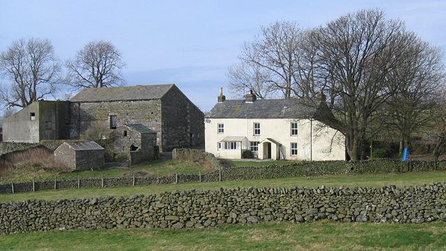
Brownthwaite is a picturesque hill/mountain located in Westmorland, a historic county in North West England. It is situated amidst the stunning landscape of the Lake District National Park, specifically in the southern part of the county near the village of Orton.
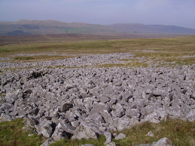
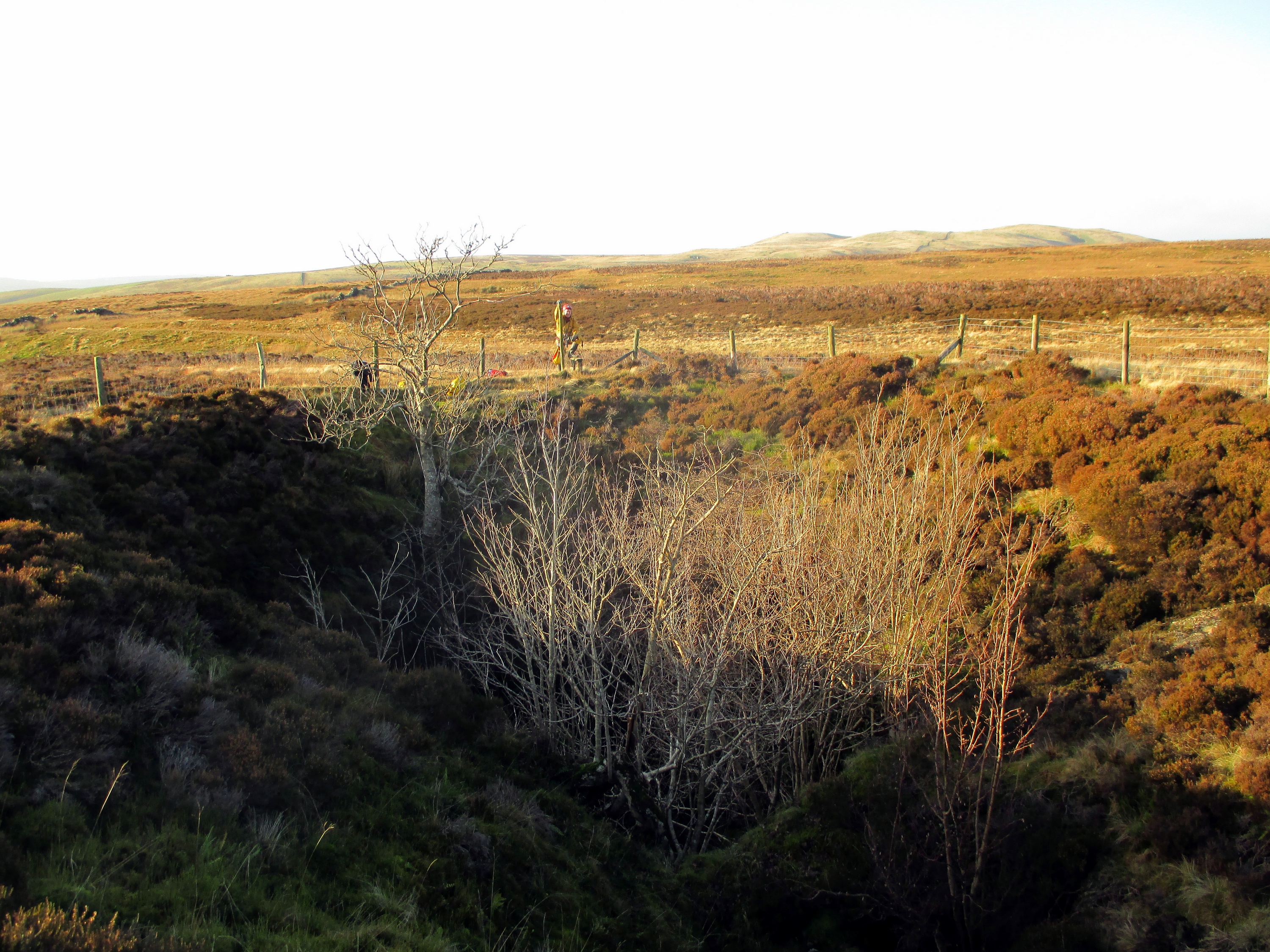
Rising to an elevation of approximately 520 meters (1,706 feet), Brownthwaite offers breathtaking panoramic views of the surrounding countryside. Its rugged terrain is characterized by steep slopes, craggy outcrops, and verdant valleys, making it a popular destination for hikers, mountaineers, and nature enthusiasts.
The mountain is covered in a diverse range of vegetation, including heather, grasses, and scattered trees, creating a rich and vibrant ecosystem. Brownthwaite is home to various wildlife species such as red deer, birds of prey, and smaller mammals, providing ample opportunities for wildlife observation and photography.
The ascent of Brownthwaite can be challenging, especially for inexperienced climbers, due to its steep gradients and rocky paths. However, for those willing to take on the adventure, the reward is the stunning view from the summit, where one can see the rolling hills and valleys extending as far as the eye can see.
Brownthwaite is a hidden gem within the Lake District, offering a serene and peaceful escape from the hustle and bustle of everyday life. Its natural beauty, combined with its accessibility and diverse flora and fauna, make it a must-visit destination for outdoor enthusiasts and nature lovers alike.
If you have any feedback on the listing, please let us know in the comments section below.
Brownthwaite Images
Images are sourced within 2km of 54.219437/-2.5419251 or Grid Reference SD6480. Thanks to Geograph Open Source API. All images are credited.


Brownthwaite is located at Grid Ref: SD6480 (Lat: 54.219437, Lng: -2.5419251)
Administrative County: Cumbria
District: South Lakeland
Police Authority: Cumbria
What 3 Words
///worker.lately.depth. Near Kirkby Lonsdale, Cumbria
Nearby Locations
Related Wikis
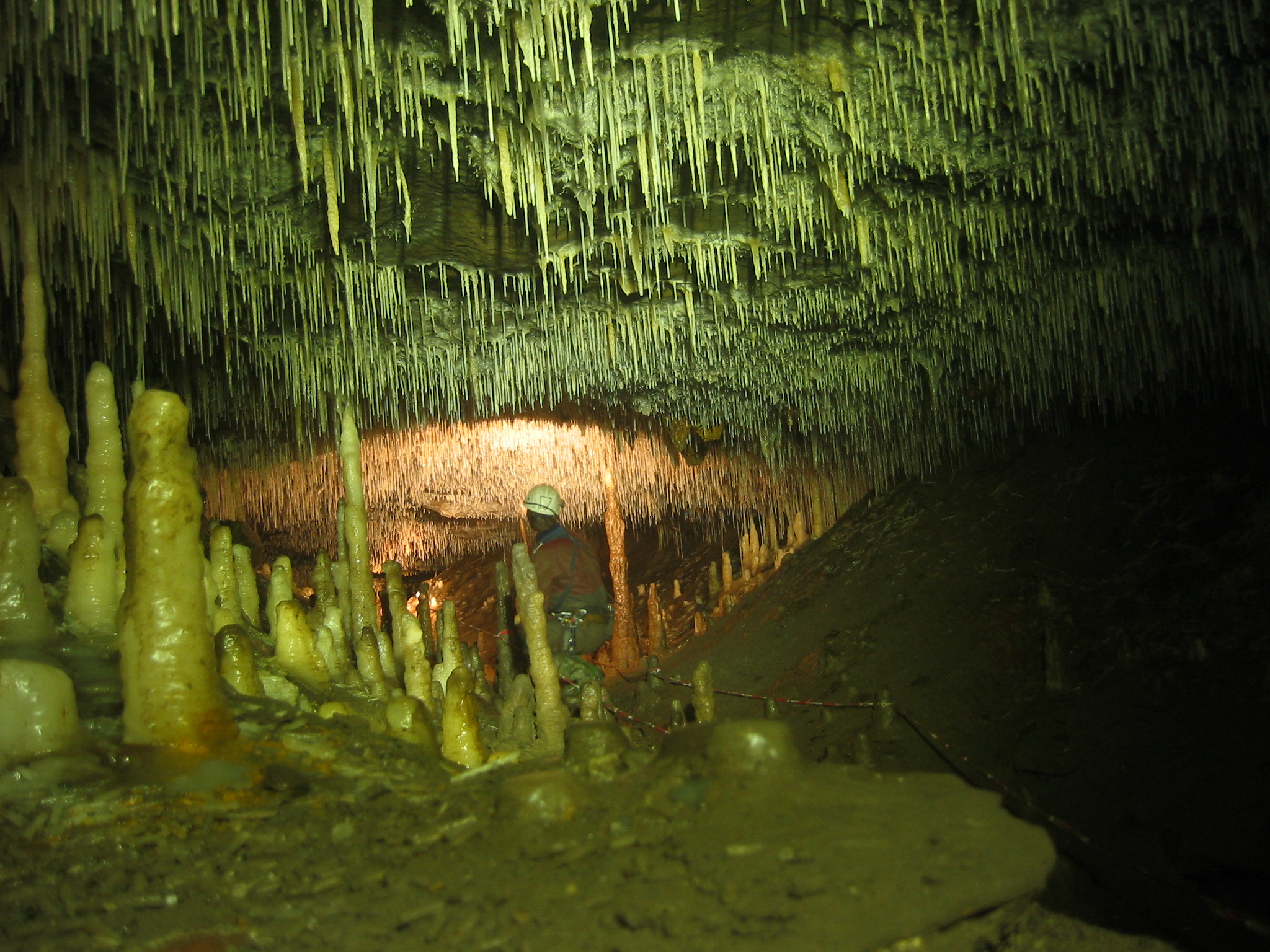
Ease Gill Caverns
The Ease Gill Cave System is the longest, and most complex cave system in Britain as of 2011, with around 41 miles (66 km) of passages, including connections...

Barbon
Barbon is a village and civil parish in Westmorland and Furness, England. According to the 2001 census it had a population of 263, reducing to 236 at...
Leck Fell
Leck Fell is a Site of Special Scientific Interest in Lancashire, England. An area of typically heavily grazed open moorland of rough grass and remnant...

Casterton School
Casterton School was an independent boarding and day school for girls aged 3 to 18 years in the village of Casterton in rural Cumbria. In its final years...
Casterton, Cumbria
Casterton is a small village and civil parish close to Kirkby Lonsdale on the River Lune in the south east corner of Cumbria, England. In the 2001 census...

Holy Trinity Church, Casterton
Holy Trinity Church is in the village of Casterton, Cumbria, England. It is an active Anglican parish church in the deanery of Kendal, the archdeaconry...
Death's Head Hole
Death's Head Hole is a cave on Leck Fell, in Lancashire, England. Its entrance is a 64-metre (210 ft) deep shaft. It leads into Lost Johns' Cave and is...

St Bartholomew's Church, Barbon
St Bartholomew's Church is in the village of Barbon, Cumbria, England. It is an active Anglican parish church in the deanery of Kendal, the archdeaconry...
Nearby Amenities
Located within 500m of 54.219437,-2.5419251Have you been to Brownthwaite?
Leave your review of Brownthwaite below (or comments, questions and feedback).