Brownthwaite Moss
Downs, Moorland in Westmorland South Lakeland
England
Brownthwaite Moss

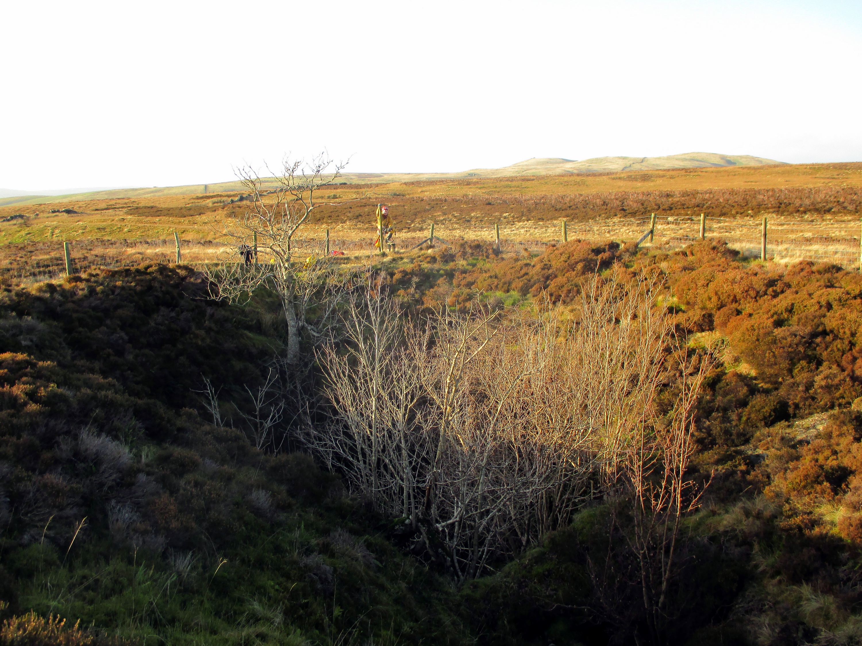
Brownthwaite Moss is a captivating moorland located in Westmorland, England. Spanning across a vast area, it is renowned for its picturesque landscapes and unique ecosystem. The moss is situated on the western side of the Westmorland Downs, surrounded by rolling hills and verdant countryside.
The moorland features a diverse range of vegetation, such as heather, cotton grass, and sphagnum moss, which lend it a distinct and vibrant appearance throughout the year. This rich plant life supports a variety of wildlife, including numerous bird species like curlews, lapwings, and red grouse. The area is also home to a range of mammals, including hares, rabbits, and occasionally, deer.
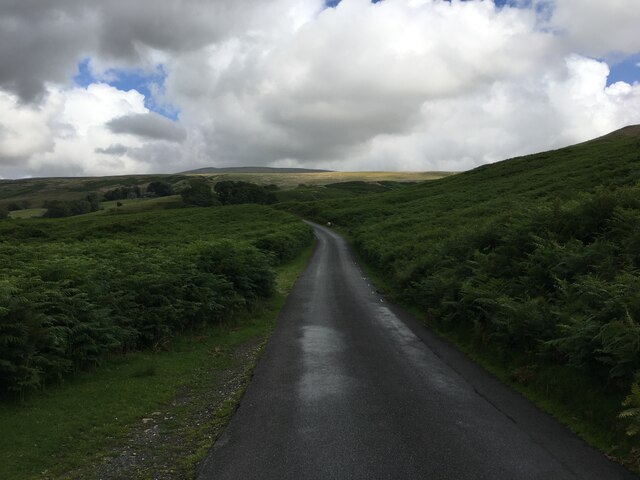
Brownthwaite Moss is renowned for its tranquility and natural beauty, attracting nature enthusiasts, hikers, and birdwatchers alike. Its vast expanse of open land provides ample opportunities for exploration and outdoor activities, with walking trails and footpaths crisscrossing the moorland.
Visitors to Brownthwaite Moss can take in stunning panoramic views of the surrounding countryside, with its patchwork of fields, hedgerows, and dry stone walls. The moorland’s remote location and minimal human interference make it an ideal spot for those seeking solace in nature.
In conclusion, Brownthwaite Moss in Westmorland is a captivating and serene moorland, characterized by its diverse plant life, abundant wildlife, and breathtaking landscapes. It offers a haven for nature enthusiasts and hikers, providing an opportunity to immerse oneself in the beauty and tranquility of the English countryside.
If you have any feedback on the listing, please let us know in the comments section below.
Brownthwaite Moss Images
Images are sourced within 2km of 54.220679/-2.5393955 or Grid Reference SD6480. Thanks to Geograph Open Source API. All images are credited.


Brownthwaite Moss is located at Grid Ref: SD6480 (Lat: 54.220679, Lng: -2.5393955)
Administrative County: Cumbria
District: South Lakeland
Police Authority: Cumbria
What 3 Words
///reliving.surpassed.alpha. Near Kirkby Lonsdale, Cumbria
Nearby Locations
Related Wikis
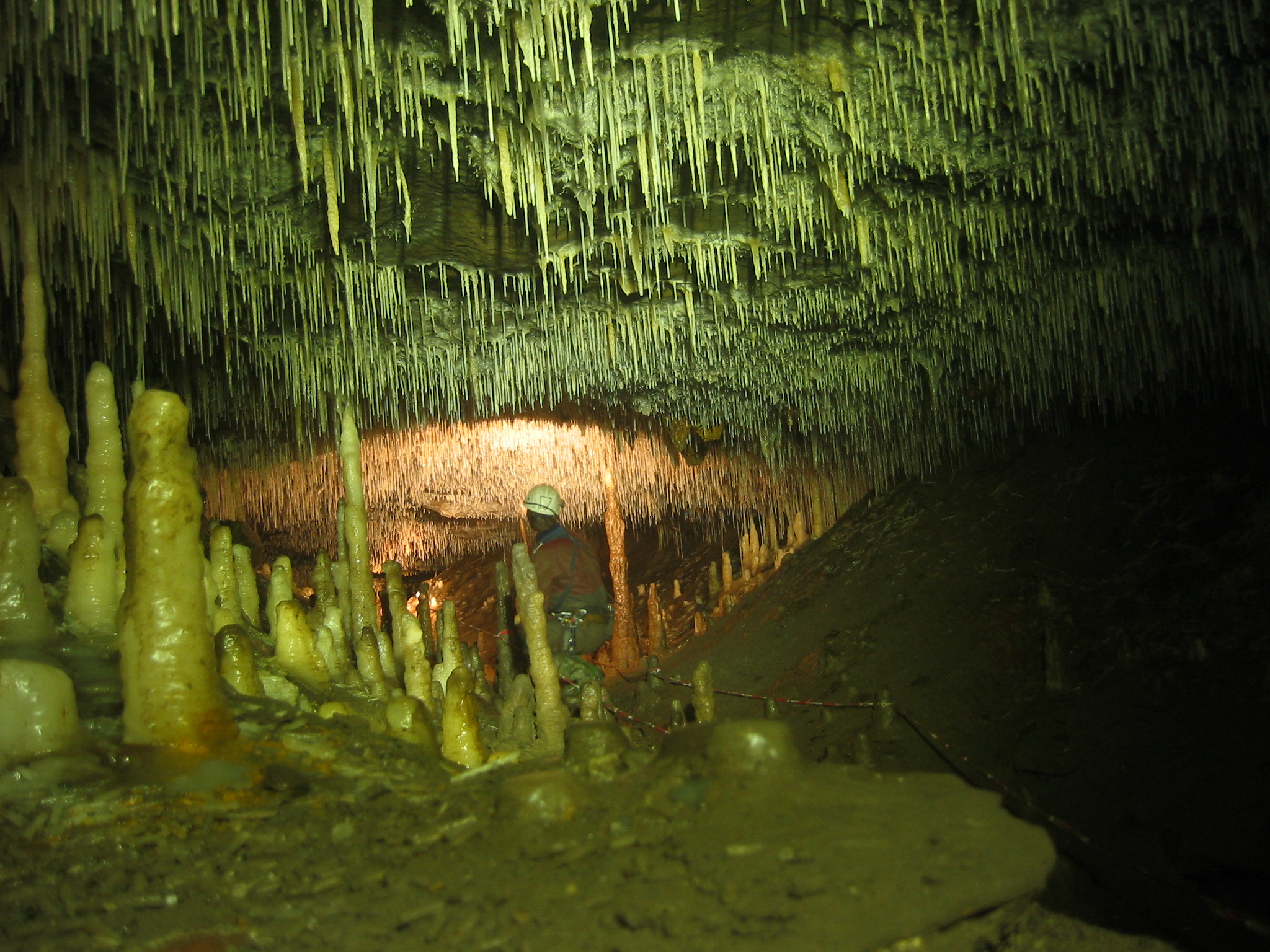
Ease Gill Caverns
The Ease Gill Cave System is the longest, and most complex cave system in Britain as of 2011, with around 41 miles (66 km) of passages, including connections...

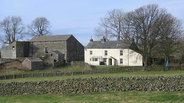
Barbon
Barbon is a village and civil parish in Westmorland and Furness, England. According to the 2001 census it had a population of 263, reducing to 236 at...
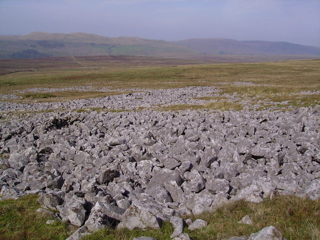
Leck Fell
Leck Fell is a Site of Special Scientific Interest in Lancashire, England. An area of typically heavily grazed open moorland of rough grass and remnant...
Death's Head Hole
Death's Head Hole is a cave on Leck Fell, in Lancashire, England. Its entrance is a 64-metre (210 ft) deep shaft. It leads into Lost Johns' Cave and is...
Nearby Amenities
Located within 500m of 54.220679,-2.5393955Have you been to Brownthwaite Moss?
Leave your review of Brownthwaite Moss below (or comments, questions and feedback).