Capple Hill
Hill, Mountain in Cumberland Eden
England
Capple Hill
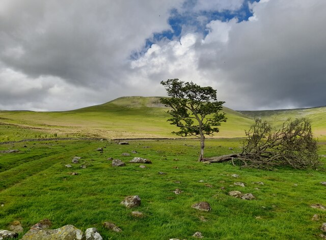
Capple Hill, Cumberland (Hill, Mountain) is located in the northeast region of Cumbria, England. It is part of the larger Cumbrian Mountains range and stands at an elevation of approximately 520 meters (1,706 feet) above sea level.
Capple Hill offers breathtaking views of the surrounding landscapes, including the picturesque Lake District National Park to the west and the Solway Firth to the north. The hill is characterized by its rugged terrain, with rocky slopes and grassy moorland, providing a challenging yet rewarding hiking experience for outdoor enthusiasts.
The hill is accessible via several footpaths and trails, with the most popular being the Capple Hill Circular Walk, which spans around 6 kilometers (3.7 miles) and takes visitors through diverse natural environments, including woodlands and open fields. Along the way, hikers may encounter various wildlife species, such as native birds, deer, and rabbits.
Capple Hill holds historical significance as well, with remnants of ancient settlements and burial sites discovered in the vicinity. Archaeological excavations have unearthed artifacts dating back to the Neolithic and Bronze Age periods, offering insight into the area's past.
Visitors to Capple Hill can also enjoy other recreational activities, such as birdwatching, photography, and picnicking. The hill provides a peaceful and serene atmosphere, making it an ideal destination for those seeking tranquility and a connection with nature.
If you have any feedback on the listing, please let us know in the comments section below.
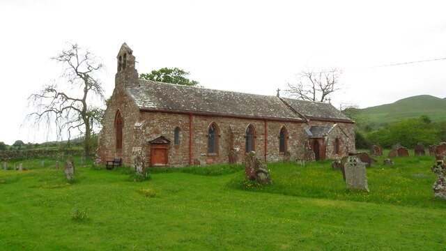
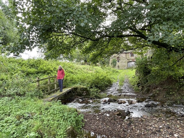
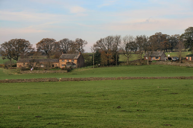
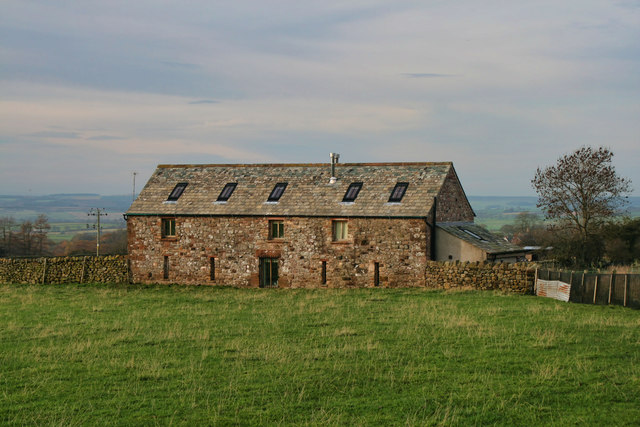
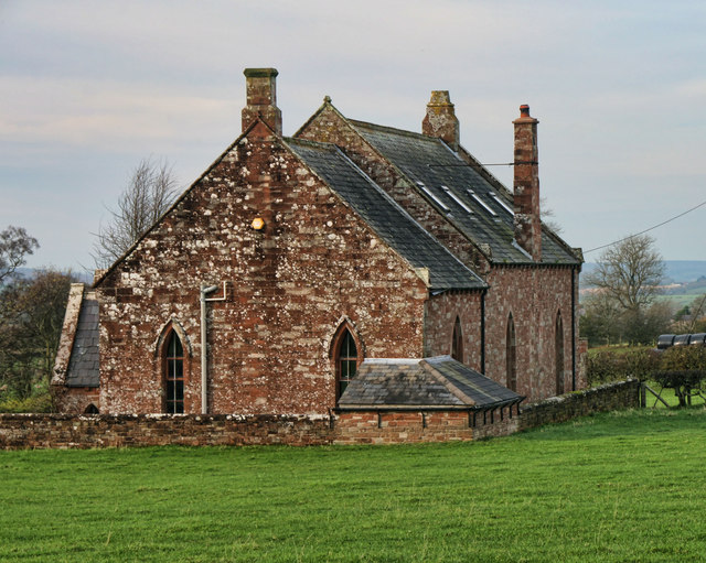
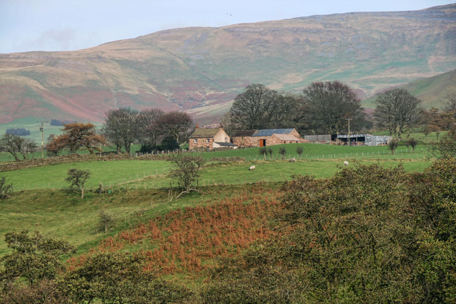
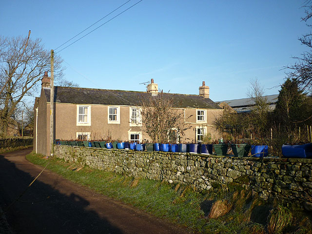
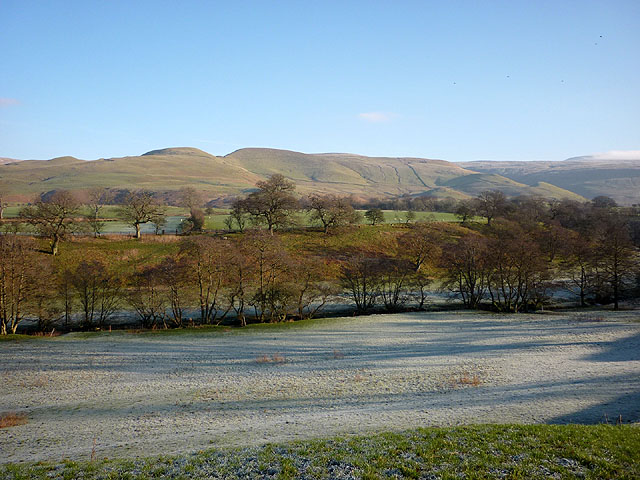
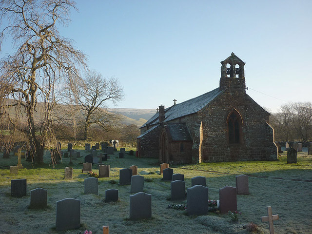
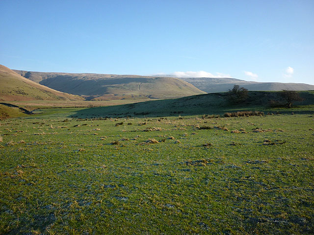
Capple Hill Images
Images are sourced within 2km of 54.700678/-2.5555543 or Grid Reference NY6434. Thanks to Geograph Open Source API. All images are credited.


Capple Hill is located at Grid Ref: NY6434 (Lat: 54.700678, Lng: -2.5555543)
Administrative County: Cumbria
District: Eden
Police Authority: Cumbria
What 3 Words
///crows.sobbed.grab. Near Penrith, Cumbria
Nearby Locations
Related Wikis

Kirkland, Culgaith
Kirkland is a village in the Eden district of the English county of Cumbria. It is in the historic county of Cumberland. There is a fell called Kirkland...

Ousby
Ousby is a village and civil parish in Eden district, in the English county of Cumbria. It is a Thankful Village, one of 52 parishes in England and Wales...

Blencarn
Blencarn is a small village located in the Eden District of Cumbria, England. The village is situated at the foot of the Pennines. In Blencarn there is...

Skirwith
Skirwith is a village and former civil parish, now in the parish of Culgaith, in the Eden district, in the county of Cumbria, England. In 1931 the parish...

Skirwith Abbey
Skirwith Abbey is a country house in Skirwith, Cumbria, England. The House is a two-storey house of five by three bays, built by Thomas Addison, mason...

Melmerby, Cumbria
Melmerby is a village and civil parish in the Eden district, in the county of Cumbria, England. It is a small village with a population of around 200....

Cross Fell
Cross Fell is the highest mountain in the Pennines of Northern England and the highest point in England outside the Lake District. It is located in the...

Milburn, Cumbria
Milburn is a small village and civil parish in the Eden district of Cumbria, England. It is located on the northern side of the Eden Valley, about 9 miles...
Nearby Amenities
Located within 500m of 54.700678,-2.5555543Have you been to Capple Hill?
Leave your review of Capple Hill below (or comments, questions and feedback).