Clunie Hill

Hill, Mountain in Banffshire

Scotland

Clunie Hill

Sheep near Quarryhill A field of sheep with Quarryhill Farm in the background.
Sheep near Quarryhill Credit: Scott Cormie

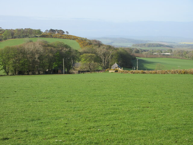
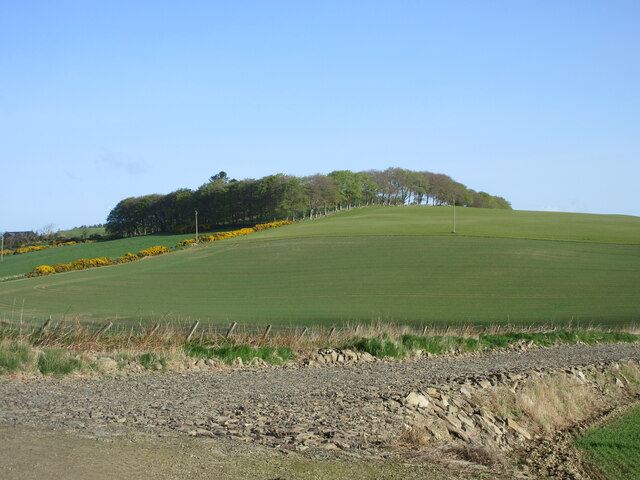
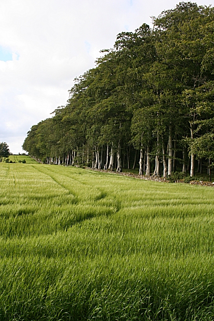
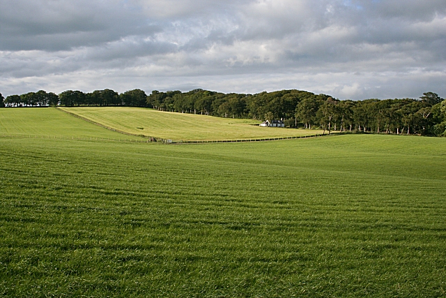
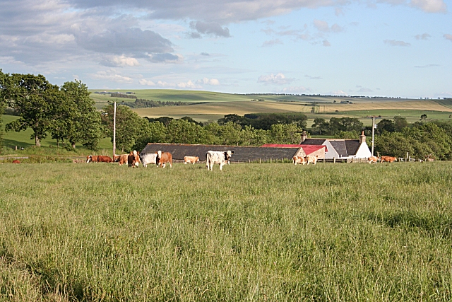
Clunie Hill, located in Banffshire, Scotland, is a prominent hill that offers picturesque views and is a popular destination for outdoor enthusiasts. Standing at an elevation of approximately 444 meters (1,457 feet), it is a relatively modest hill compared to its towering neighbors in the Cairngorms National Park.

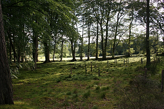
The hill is known for its unique geological features, primarily composed of granite and gneiss. Its gently sloping terrain makes it accessible to hikers of varying skill levels, making it a favored location for recreational activities such as walking, hill running, and birdwatching.

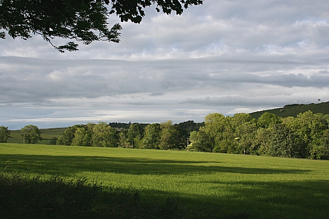
One of the main attractions of Clunie Hill is its panoramic vistas, providing breathtaking views of the surrounding countryside. On a clear day, visitors can enjoy vistas that stretch as far as the Moray Firth, the Grampian Mountains, and the nearby town of Keith. The hill's strategic location also offers a glimpse into the varied wildlife of the area, with sightings of red deer, birds of prey, and other native species.

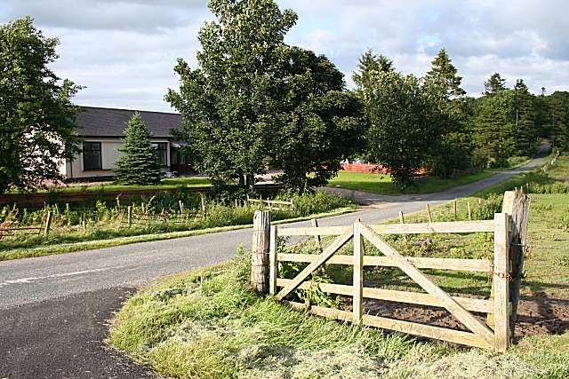
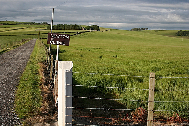
Clunie Hill is easily accessible, with a well-marked footpath leading to the summit. Its proximity to the nearby town of Keith allows visitors to combine their outdoor adventure with a visit to local amenities and attractions. The hill boasts a rich history, with archaeological remains such as chambered cairns and standing stones, further adding to its appeal.

Whether seeking an invigorating hike, a leisurely stroll, or simply a peaceful spot to admire the natural beauty of the Scottish Highlands, Clunie Hill in Banffshire offers a memorable experience for nature enthusiasts and history buffs alike.

If you have any feedback on the listing, please let us know in the comments section below.
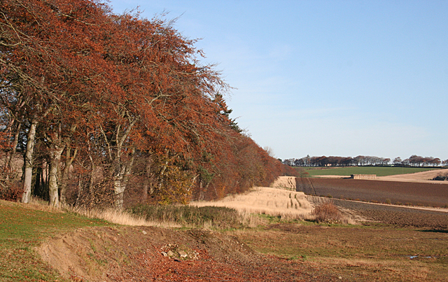
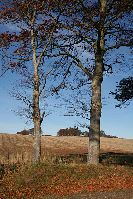
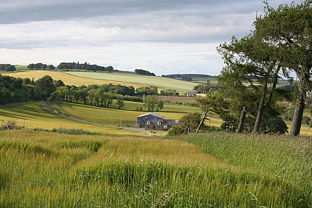
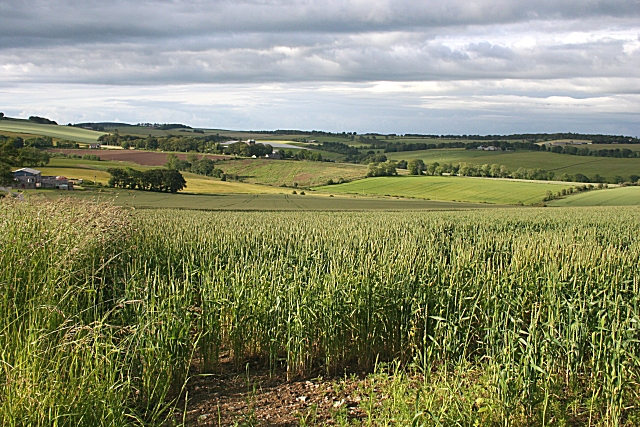
Clunie Hill Images

Images are sourced within 2km of 57.541327/-2.598304 or Grid Reference NJ6450. Thanks to Geograph Open Source API. All images are credited.

Sheep near Quarryhill A field of sheep with Quarryhill Farm in the background.
Sheep near Quarryhill
A field of sheep with Quarryhill Farm in the background.
Field near Castlehill Looking southwards over a grassy field with Castlehill in the background amidst the trees.
Field near Castlehill
Looking southwards over a grassy field with Castlehill in the background amidst the trees.
Ardreddie Hill Looking up Ardreddie Hill from the roadside near Auldtownhill.
Ardreddie Hill
Looking up Ardreddie Hill from the roadside near Auldtownhill.
The Brae and North Braeside North Braeside is on the right, The Brae in the middle and Quarryhill Wood on the left in this view from the roadside near Cleanhill.
The Brae and North Braeside
North Braeside is on the right, The Brae in the middle and Quarryhill Wood on the left in this view from the roadside near Cleanhill.
Auldtown of Carnousie The farm house, to the right, is dwarfed by extensive modern buildings.
Auldtown of Carnousie
The farm house, to the right, is dwarfed by extensive modern buildings.
Beech Avenue One of the characteristics of this part of the country is that many of the minor roads are lined with mature trees, often beeches.
Beech Avenue
One of the characteristics of this part of the country is that many of the minor roads are lined with mature trees, often beeches.
Near Carnousie An impressive belt of beeches lines the edge of the fields just north of Auldtown of Carnousie.
Near Carnousie
An impressive belt of beeches lines the edge of the fields just north of Auldtown of Carnousie.
Auldtown Hill Presumably the hill is named for Auldtown of Carnousie, which is on its lower slopes.
Auldtown Hill
Presumably the hill is named for Auldtown of Carnousie, which is on its lower slopes.
Shargerwells A prosperous-looking farm amid rolling fields of cereal crops, mainly barley.
Shargerwells
A prosperous-looking farm amid rolling fields of cereal crops, mainly barley.
Shargerwells Barley is the most commonly grown cereal around here, but the foreground field in this view is planted with wheat.
Shargerwells
Barley is the most commonly grown cereal around here, but the foreground field in this view is planted with wheat.
Beech and Barley A field of barley bounded by an avenue of beeches at Netherdale.
Beech and Barley
A field of barley bounded by an avenue of beeches at Netherdale.
Netherdale Sunlight on the fields, seen through the line of beeches at the field edge. It looks as if there has been some recent planting of young trees to fill the clearing.
Netherdale
Sunlight on the fields, seen through the line of beeches at the field edge. It looks as if there has been some recent planting of young trees to fill the clearing.
Netherdale Mixed arable and grassland, with one of the cottages at the Home Farm of Netherdale in the middle distance.
Netherdale
Mixed arable and grassland, with one of the cottages at the Home Farm of Netherdale in the middle distance.
Clunie According to older maps there was a school at this road junction, but it has clearly been replaced by modern bungalows.
Clunie
According to older maps there was a school at this road junction, but it has clearly been replaced by modern bungalows.
Damfolds Judging by the length of the grass in this field, these cattle have only recently been put into it.
Damfolds
Judging by the length of the grass in this field, these cattle have only recently been put into it.
Newton of Clunie One of several farms on the estate of Clunie, all on the south and west slopes of Clunie Hill.
Newton of Clunie
One of several farms on the estate of Clunie, all on the south and west slopes of Clunie Hill.
Clunie Long evening shadows over a field at the Home farm of Clunie.
Clunie
Long evening shadows over a field at the Home farm of Clunie.
Dundee Rather a far cry from its better-known namesake by the River Tay! I hadn't realised until I saw the grain silo how few farms in this area have silos.
Dundee
Rather a far cry from its better-known namesake by the River Tay! I hadn't realised until I saw the grain silo how few farms in this area have silos.
Show me another place!

Clunie Hill is located at Grid Ref: NJ6450 (Lat: 57.541327, Lng: -2.598304)

Unitary Authority: Aberdeenshire

Police Authority: North East

What 3 Words

///struggle.presuming.pinch. Near Aberchirder, Aberdeenshire

Nearby Locations

Clunie Hill

Related Wikis

Aberchirder

Aberchirder (Scots: Fogieloan, Scottish Gaelic: Obar Chiardair) known locally as Foggieloan or Foggie, is a village in Aberdeenshire, Scotland, situated...

Bogton

Bogton is a rural area in Aberdeenshire, Scotland. To the south is Whitehill Wood and megalithic circle. == References ==

Whitehill Wood, Aberdeenshire

Whitehill Wood is a wood and megalithic stone circle in Aberdeenshire, Scotland, located off the B9025 road between Aberchirder and Turriff and between...

Inverkeithny

Inverkeithny is a village in the Formartine area of Aberdeenshire, Scotland. The village lies near where the Burn of Forgue flows into the River Deveron...

Nearby Amenities

Located within 500m of 57.541327,-2.598304
Clunie Hill
Natural: peak
Lat/Long: 57.5413679/-2.59852
Power: pole
Lat/Long: 57.5430153/-2.5927801
Power: pole
Lat/Long: 57.5430542/-2.5921611
Power: pole
Lat/Long: 57.5433485/-2.5914051
Power: pole
Lat/Long: 57.5438866/-2.5917812
Power: pole
Lat/Long: 57.5441316/-2.5928662
Power: pole
Lat/Long: 57.5443596/-2.5939122
Power: pole
Lat/Long: 57.5445741/-2.594866
Power: pole
Lat/Long: 57.5448316/-2.5960412
Power: pole
Lat/Long: 57.5451301/-2.5972379
Power: pole
Lat/Long: 57.5455347/-2.5977922
The data included in this document is from www.openstreetmap.org. The data is made available under ODbL.

Have you been to Clunie Hill?

Leave your review of Clunie Hill below (or comments, questions and feedback).