Black Hill
Hill, Mountain in Cumberland Eden
England
Black Hill
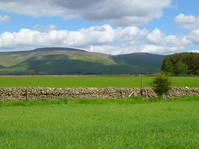
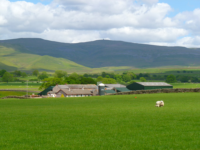
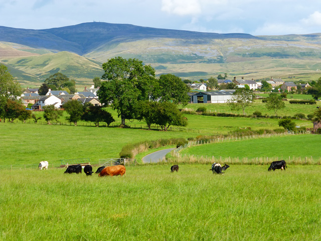
Black Hill is a prominent hill located in the county of Cumberland, England. Rising to an elevation of 582 meters (1,909 feet), it is one of the highest points in the region. Situated within the North Pennines Area of Outstanding Natural Beauty, Black Hill offers breathtaking views of the surrounding countryside.
The hill is known for its distinctive black color, hence its name. This dark hue comes from the thick layer of peat covering its slopes, which also contributes to the unique flora and fauna found in the area. The hill is home to a variety of plant species, including heather, bilberry, and cotton grass, which thrive in the acidic soil.
Black Hill is a popular destination for outdoor enthusiasts, offering numerous walking trails and opportunities for hiking. The most popular route to the summit starts from the nearby village of Dufton, following a well-marked path that takes visitors through picturesque landscapes and past ancient stone walls. The panoramic views from the top of the hill are truly awe-inspiring, allowing visitors to see as far as the Lake District and the Scottish borders on clear days.
Apart from its natural beauty, Black Hill also holds historical significance. It is believed that the hill was once used as a meeting point for local communities, and remnants of old settlements can still be found in the area.
Overall, Black Hill in Cumberland is a remarkable hill offering stunning views, diverse flora and fauna, and a chance to immerse oneself in the natural and historical wonders of the North Pennines.
If you have any feedback on the listing, please let us know in the comments section below.
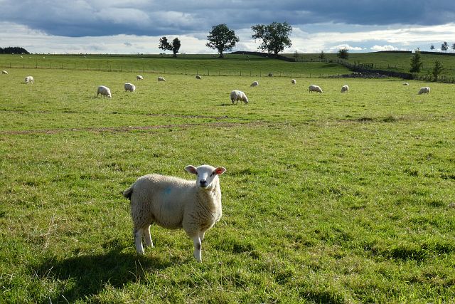
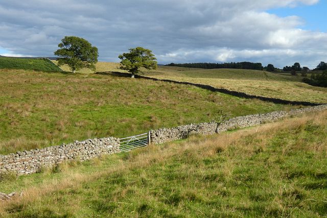
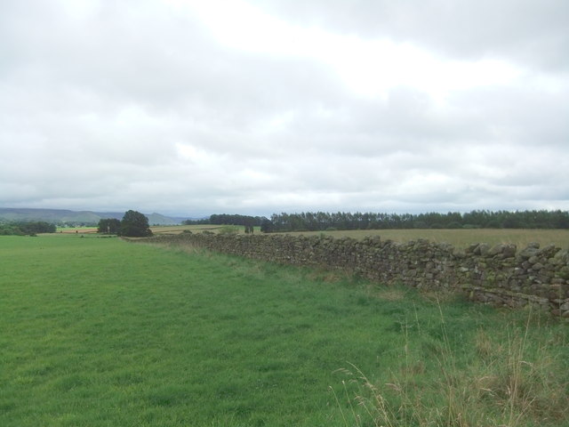
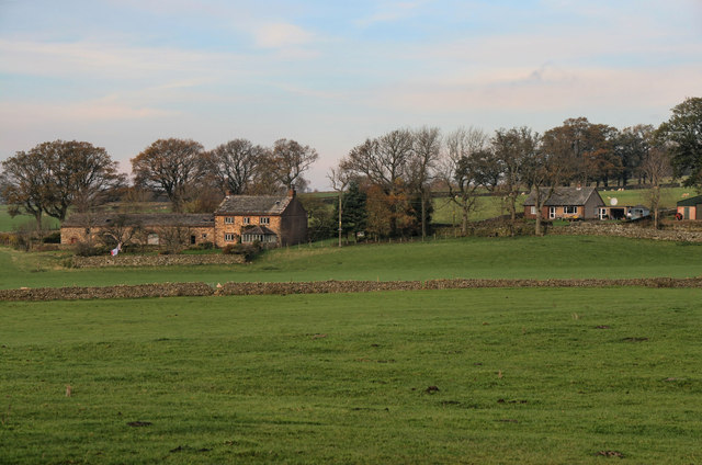
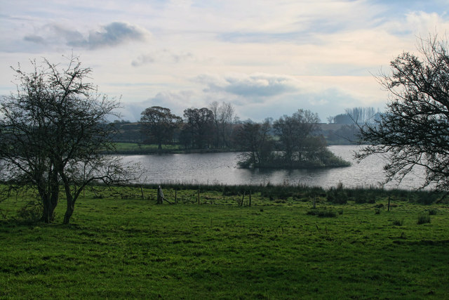
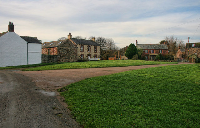
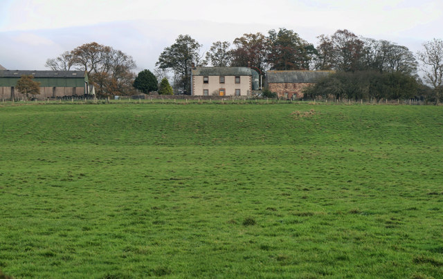
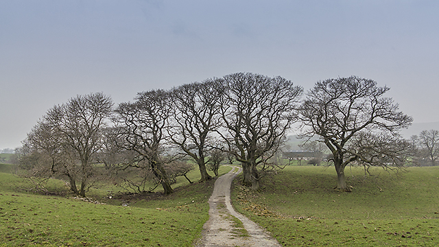
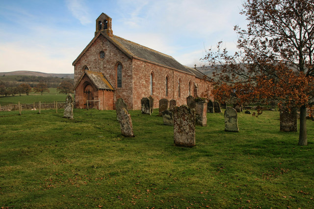
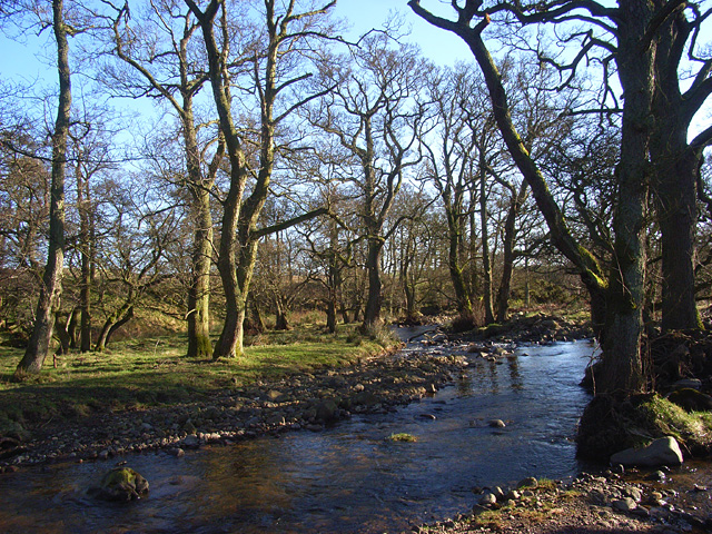
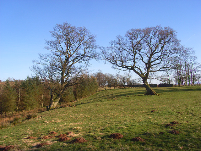
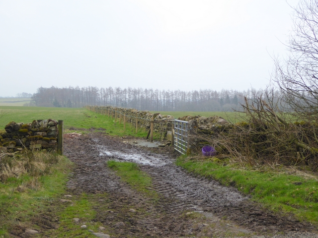
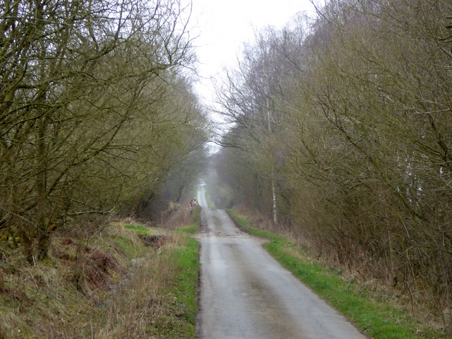
Black Hill Images
Images are sourced within 2km of 54.669722/-2.5587753 or Grid Reference NY6430. Thanks to Geograph Open Source API. All images are credited.


Black Hill is located at Grid Ref: NY6430 (Lat: 54.669722, Lng: -2.5587753)
Administrative County: Cumbria
District: Eden
Police Authority: Cumbria
What 3 Words
///crumbles.junction.hesitate. Near Appleby-in-Westmorland, Cumbria
Nearby Locations
Related Wikis

Blencarn
Blencarn is a small village located in the Eden District of Cumbria, England. The village is situated at the foot of the Pennines. In Blencarn there is...

Kirkland, Culgaith
Kirkland is a village in the Eden district of the English county of Cumbria. It is in the historic county of Cumberland. There is a fell called Kirkland...

Milburn, Cumbria
Milburn is a small village and civil parish in the Eden district of Cumbria, England. It is located on the northern side of the Eden Valley, about 9 miles...

Newbiggin, Kirkby Thore
Newbiggin is a village and civil parish near the larger village of Temple Sowerby, in the Eden District of the English county of Cumbria. In 2001 it had...
Have you been to Black Hill?
Leave your review of Black Hill below (or comments, questions and feedback).