Lounthwaite Wood

Wood, Forest in Westmorland Eden

England

Lounthwaite Wood

Pasture, Culgaith Sheep beside the bridleway between Blencarn and Wythwaite.
Pasture, Culgaith Credit: Andrew Smith

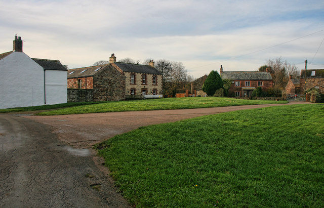
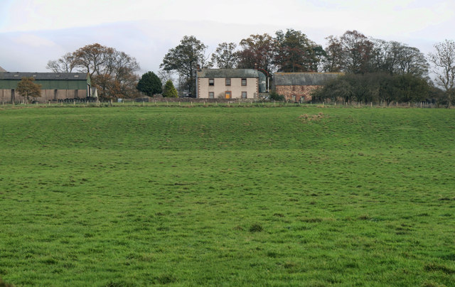
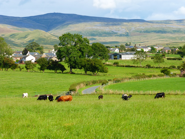
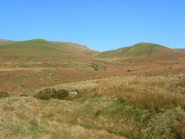
Lounthwaite Wood is a scenic woodland located in the county of Westmorland, in the northwest region of England. Situated amidst the picturesque landscape of the Lake District National Park, this woodland area is a haven for nature enthusiasts and outdoor adventurers alike.

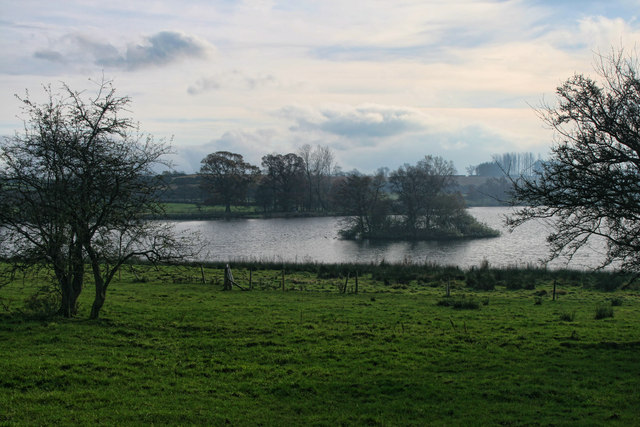
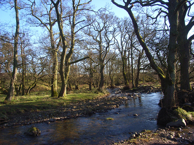
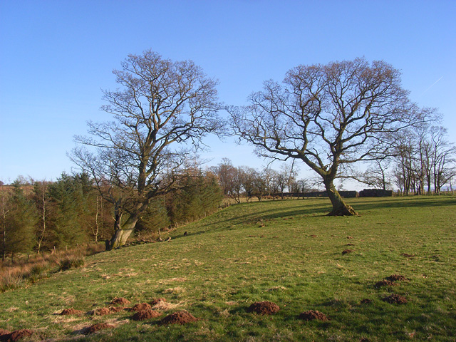
Covering an area of approximately 100 acres, Lounthwaite Wood is characterized by its diverse range of tree species, including oak, ash, birch, and beech. The trees form a dense canopy, providing shade and shelter for wildlife, and creating a tranquil and peaceful atmosphere. The forest floor is adorned with a vibrant carpet of wildflowers, adding to the beauty of the surroundings.

The wood is crisscrossed by a network of walking trails, allowing visitors to explore and immerse themselves in the natural wonders of the area. These paths wind through the woodland, offering glimpses of enchanting flora and fauna along the way. Birdwatchers will be delighted by the variety of avian species that call Lounthwaite Wood home, including woodpeckers, owls, and various songbirds.

In addition to its natural beauty, Lounthwaite Wood also holds historical significance. The wood has been a part of the local landscape for centuries and is thought to have played a role in the timber industry during the Victorian era.

Whether you are seeking a peaceful stroll amidst nature, a birdwatching adventure, or a glimpse into the region's history, Lounthwaite Wood offers a captivating experience for all who visit.

If you have any feedback on the listing, please let us know in the comments section below.

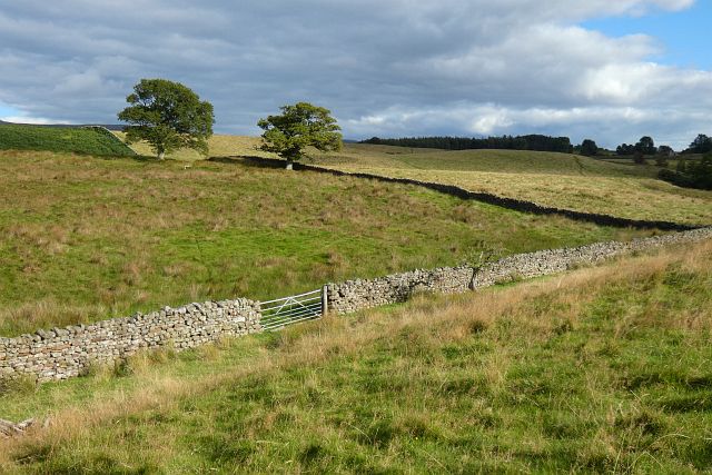
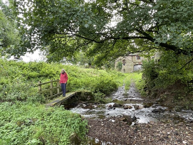
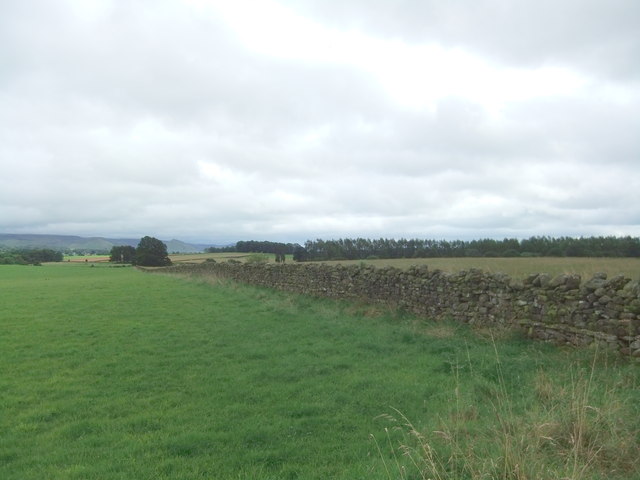
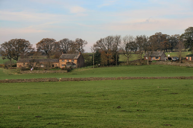
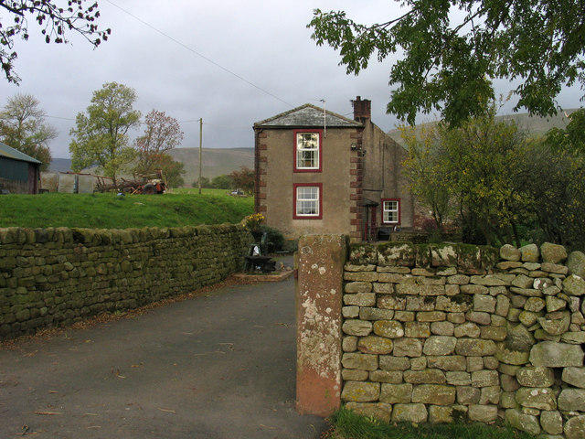
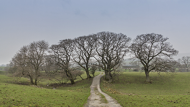
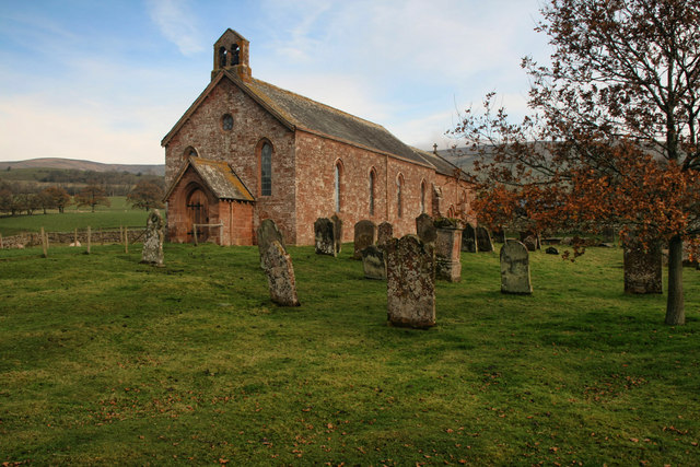
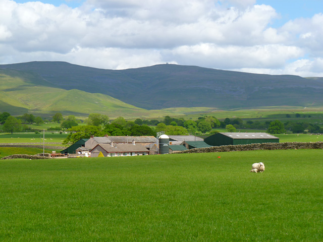
Lounthwaite Wood Images

Images are sourced within 2km of 54.671054/-2.546637 or Grid Reference NY6430. Thanks to Geograph Open Source API. All images are credited.

Pasture, Culgaith Sheep beside the bridleway between Blencarn and Wythwaite.
Pasture, Culgaith
Sheep beside the bridleway between Blencarn and Wythwaite.
Pasture, Milburn Viewed from just outside of the access land crossed by the footpath south of Wythwaite.
Pasture, Milburn
Viewed from just outside of the access land crossed by the footpath south of Wythwaite.
Kirkland Hall Ford This ford is found beside Beck Cottage at Kirkland.
Kirkland Hall Ford
This ford is found beside Beck Cottage at Kirkland.
Fields near Howrigg Farm
The Flosh House at Kirkland.
The Flosh
House at Kirkland.
Blencarn Lake Blencarn fishing lake.
Blencarn Lake
Blencarn fishing lake.
Blencarn Houses in Blencarn village.
Blencarn
Houses in Blencarn village.
Lounthwaite Lounthwaite Farm.
Lounthwaite
Lounthwaite Farm.
Sheep pens at foot of Littledale Littledale is the valley descending through the centre of the image where Grumply Hill lies to the right. The main slope above is the south-western flank of Cross Fell.
Sheep pens at foot of Littledale
Littledale is the valley descending through the centre of the image where Grumply Hill lies to the right. The main slope above is the south-western flank of Cross Fell.
Baron's Hill Baron's Hill lies close to the small settlement of Kirkland at the western foot of Cross Fell.
Baron's Hill
Baron's Hill lies close to the small settlement of Kirkland at the western foot of Cross Fell.
Path near Wythwaite A path leading from Wythwaite to Kirkland, viewed here south of the farm at Ranbeck.
Path near Wythwaite
A path leading from Wythwaite to Kirkland, viewed here south of the farm at Ranbeck.
Farmland at Littledale Rough pasture at Littledale, with the remains of last year's bracken growth much in evidence. Low cloud and smog has covered much of the UK when this image was taken, limiting visibility.
Farmland at Littledale
Rough pasture at Littledale, with the remains of last year's bracken growth much in evidence. Low cloud and smog has covered much of the UK when this image was taken, limiting visibility.
St Lawrence's St Lawrence's church in Kirkland
St Lawrence's
St Lawrence's church in Kirkland
Pasture, Culgaith A view of the Dun Fells above Howrigg Farm.
Pasture, Culgaith
A view of the Dun Fells above Howrigg Farm.
Pasture, Blencarn, Culgaith A view of Great Dun Fell from the road to Skirwith.
Pasture, Blencarn, Culgaith
A view of Great Dun Fell from the road to Skirwith.
Crowdundle Beck and woodland, Milburn Where it is crossed by the footpath between Kirkland and Milburn
Crowdundle Beck and woodland, Milburn
Where it is crossed by the footpath between Kirkland and Milburn
Pasture and woodland, Milburn A footpath towards the village goes off to the right.
Pasture and woodland, Milburn
A footpath towards the village goes off to the right.
Littledale. Kirkland, Culgaith The low hill to the right is Grumply Hill with Wild Boar Scar rising to its left.
Littledale. Kirkland, Culgaith
The low hill to the right is Grumply Hill with Wild Boar Scar rising to its left.
Show me another place!

Lounthwaite Wood is located at Grid Ref: NY6430 (Lat: 54.671054, Lng: -2.546637)

Administrative County: Cumbria

District: Eden

Police Authority: Cumbria

What 3 Words

///flagging.hurray.tiles. Near Appleby-in-Westmorland, Cumbria

Related Wikis

Blencarn

Blencarn is a small village located in the Eden District of Cumbria, England. The village is situated at the foot of the Pennines. In Blencarn there is...

Kirkland, Culgaith

Kirkland is a village in the Eden district of the English county of Cumbria. It is in the historic county of Cumberland. There is a fell called Kirkland...

Milburn, Cumbria

Milburn is a small village and civil parish in the Eden district of Cumbria, England. It is located on the northern side of the Eden Valley, about 9 miles...

Newbiggin, Kirkby Thore

Newbiggin is a village and civil parish near the larger village of Temple Sowerby, in the Eden District of the English county of Cumbria. In 2001 it had...

Nearby Amenities

Located within 500m of 54.671054,-2.546637
Source: NPE
Waterway: weir
Lat/Long: 54.6732858/-2.5408976
Ele: 208.8
Source: NPE
Lat/Long: 54.6746661/-2.5469915
Power: pole
Lat/Long: 54.6666971/-2.5456587
The data included in this document is from www.openstreetmap.org. The data is made available under ODbL.

Have you been to Lounthwaite Wood?

Leave your review of Lounthwaite Wood below (or comments, questions and feedback).