Beacon Hill

Hill, Mountain in Somerset Mendip

England

Beacon Hill

Horse Paddock on Bodden Lane A small paddock on the edge of this tiny hamlet with a pair of windswept ponies.
Horse Paddock on Bodden Lane Credit: Nigel Mykura

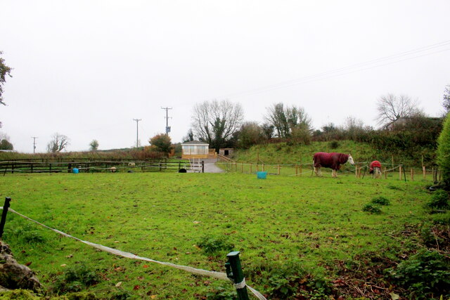
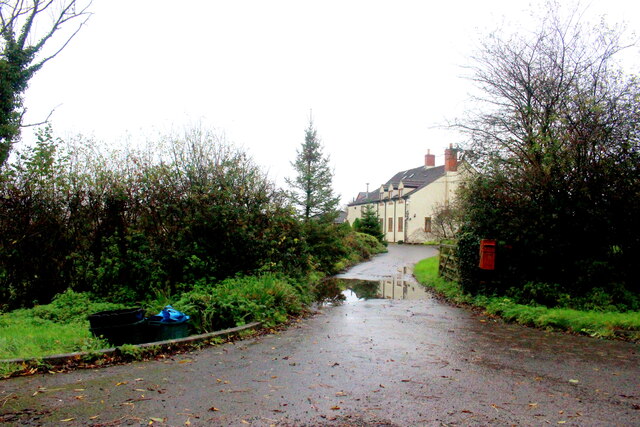
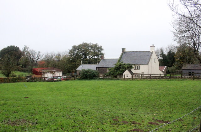
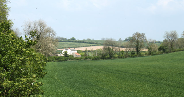
Beacon Hill is a prominent hill located in Somerset, England. It is part of the Mendip Hills, a range of limestone hills that stretches across the county. With an elevation of 1,001 feet (305 meters), Beacon Hill is the highest point in the Mendip Hills and offers breathtaking panoramic views of the surrounding landscape.

The hill is known for its distinctive beacon, which historically served as a signal to warn of approaching danger or celebrate significant events. The beacon, although no longer in use, remains a historical landmark and adds to the charm of the area.

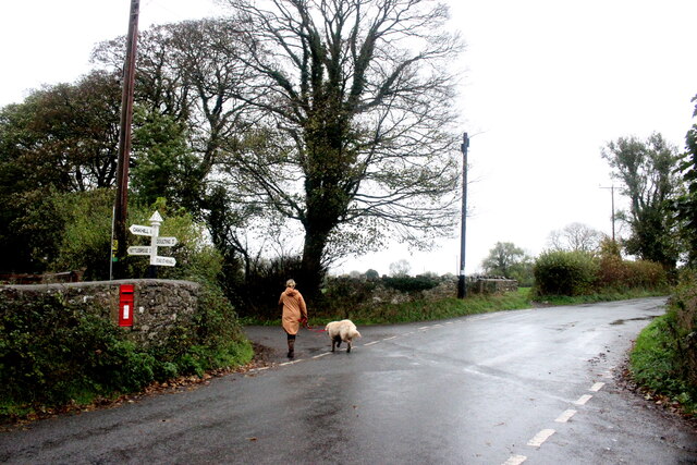
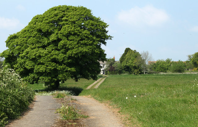
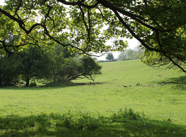
Beacon Hill is a popular destination for hikers and nature enthusiasts due to its diverse flora and fauna. The hill is covered in heather and grassland, providing a habitat for a variety of wildlife, including rare bird species and butterflies. Visitors can explore the numerous walking trails that wind their way through the hillside, offering opportunities to spot interesting plants and animals along the way.

The hill is also home to several ancient archaeological sites, including burial mounds and the remains of Iron Age fortifications. These sites provide a glimpse into the rich history of the area and offer a fascinating insight into the lives of the people who once inhabited the region.

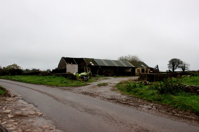
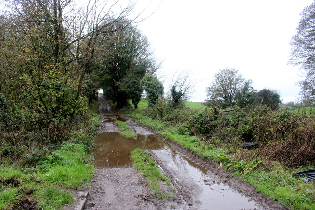
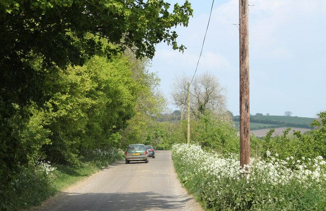
Beacon Hill is easily accessible by car or foot, with parking available at the base of the hill. The summit can be reached via a well-maintained path, making it suitable for people of all ages and fitness levels. Whether you're seeking stunning views, a peaceful walk, or a chance to connect with history, Beacon Hill is a must-visit destination in Somerset.

If you have any feedback on the listing, please let us know in the comments section below.
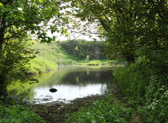
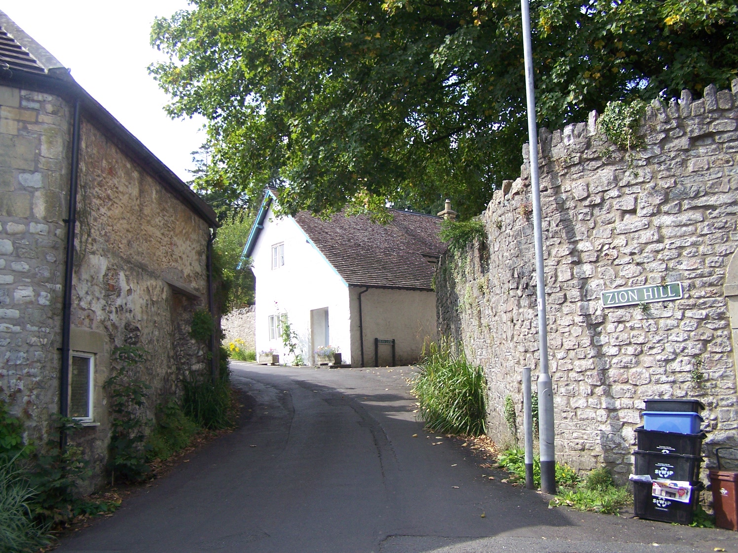
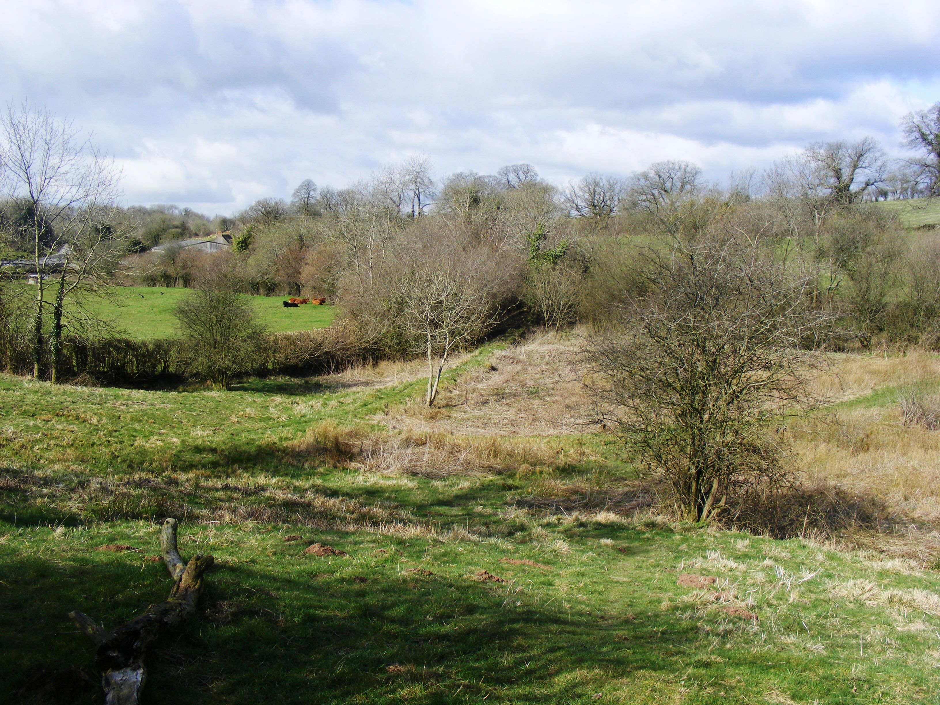
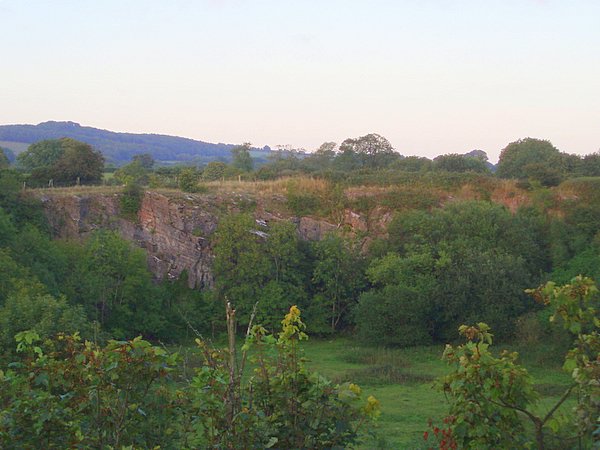
Beacon Hill Images

Images are sourced within 2km of 51.211339/-2.5193612 or Grid Reference ST6345. Thanks to Geograph Open Source API. All images are credited.

Horse Paddock on Bodden Lane A small paddock on the edge of this tiny hamlet with a pair of windswept ponies.
Horse Paddock on Bodden Lane
A small paddock on the edge of this tiny hamlet with a pair of windswept ponies.
Bodden Lane Bodden Lane runs south from the small hamlet of Boddeen downhill to the town of Shepton Mallet
Bodden Lane
Bodden Lane runs south from the small hamlet of Boddeen downhill to the town of Shepton Mallet
Farm Buildings at Higher Farm Higher Farm is the most northerly of the farms located at the hamlet of Bodden just north east of Shepton Mallet.
Farm Buildings at Higher Farm
Higher Farm is the most northerly of the farms located at the hamlet of Bodden just north east of Shepton Mallet.
A  Wet Day on the Fosse Way The route of the old Roman road can be clearly seen at this point and the track that now runs on this route is an ORPA. Other route with public access.
A Wet Day on the Fosse Way
The route of the old Roman road can be clearly seen at this point and the track that now runs on this route is an ORPA. Other route with public access.
Overgrown Roman Road This small footpath marks the line of what used to be the Fosse Way. It runs north straight up to and over the summit of Beacon Hill showing Roman road building engineers had little regard for physical obstructions
Overgrown Roman Road
This small footpath marks the line of what used to be the Fosse Way. It runs north straight up to and over the summit of Beacon Hill showing Roman road building engineers had little regard for physical obstructions
Crossroads on Waggon and Horses Hill This is the crossroads where King's Road running up Waggon and Horses Hill crosses Bolters Lane.
Crossroads on Waggon and Horses Hill
This is the crossroads where King's Road running up Waggon and Horses Hill crosses Bolters Lane.
Entrance to Knapps Farm Knapps Farm is no longer a working farm but is a residential establishment with paddocks that could be used as an equestrian facility.
Entrance to Knapps Farm
Knapps Farm is no longer a working farm but is a residential establishment with paddocks that could be used as an equestrian facility.
House at Three Ashes Three Ashes was probably once a large working farm but today it seems to consist of several large houses and no working farms although some of the houses have adjacent paddocks.
House at Three Ashes
Three Ashes was probably once a large working farm but today it seems to consist of several large houses and no working farms although some of the houses have adjacent paddocks.
Wet Saturday Dog Walking near Withybrook The dog walker passing the box-in-the-wall post box is turning off the Fosse Road into the minor road that runs down to Stoke Bottom. The Fosse Rd carries on to Stoke St Michael. The road she is heading down is signposted to Nettlebridge.
Wet Saturday Dog Walking near Withybrook
The dog walker passing the box-in-the-wall post box is turning off the Fosse Road into the minor road that runs down to Stoke Bottom. The Fosse Rd carries on to Stoke St Michael. The road she is heading down is signposted to Nettlebridge.
Path and Sign at Beacon Hill Wood
Old Milestone near Long Cross crossroads The Milestone is located on grass verge among undergrowth on the North of the road.  Parish of Doulting (Mendip District). Metal plate attached to stone post, Frome square iron plate design, erected by the Frome turnpike trust in the 19th Century, broken top left corner of plate. An earlier photograph can be found here:  <a title="https://www.geograph.org.uk/photo/6099211" href="https://www.geograph.org.uk/photo/6099211">Link</a> 

Inscription reads:-  
FROME / 8 / WELLS / 7  

Grade II listed. List Entry Number: 1221602 <span class="nowrap"><a title="https://historicengland.org.uk/listing/the-list/list-entry/1221602" rel="nofollow ugc noopener" href="https://historicengland.org.uk/listing/the-list/list-entry/1221602">Link</a><img style="margin-left:2px;" alt="External link" title="External link - shift click to open in new window" src="https://s1.geograph.org.uk/img/external.png" width="10" height="10"/></span> 

Milestone Society National ID: SO_FRWL08
Old Milestone near Long Cross crossroads
The Milestone is located on grass verge among undergrowth on the North of the road.  Parish of Doulting (Mendip District). Metal plate attached to stone post, Frome square iron plate design, erected by the Frome turnpike trust in the 19th Century, broken top left corner of plate. An earlier photograph can be found here:  Link Inscription reads:- FROME / 8 / WELLS / 7 Grade II listed. List Entry Number: 1221602 LinkExternal link Milestone Society National ID: SO_FRWL08
Old Milepost by A37, Bath Road, opposite former Downside Inn, North of Shepton Mallet The Milepost is located on the bank alongside the road on the East side.  Parish of Shepton Mallet (Mendip District). Cast iron post, plated iron casting design, erected by the Shepton Mallet turnpike trust in the 19th Century, hole in top below "Bath", missing rivet. An earlier photograph can be found here: <a title="https://www.geograph.org.uk/photo/6044224" href="https://www.geograph.org.uk/photo/6044224">Link</a> 

Inscription reads:-  
SHEPTON / MALLET / 1  : : BRISTOL / 19 : : BATH / 16 

Grade II listed. List Entry Number: 1167921 <span class="nowrap"><a title="https://historicengland.org.uk/listing/the-list/list-entry/1167921" rel="nofollow ugc noopener" href="https://historicengland.org.uk/listing/the-list/list-entry/1167921">Link</a><img style="margin-left:2px;" alt="External link" title="External link - shift click to open in new window" src="https://s1.geograph.org.uk/img/external.png" width="10" height="10"/></span> 

Milestone Society National ID: SO_SMBR01
Old Milepost by A37, Bath Road, opposite former Downside Inn, North of Shepton Mallet
The Milepost is located on the bank alongside the road on the East side.  Parish of Shepton Mallet (Mendip District). Cast iron post, plated iron casting design, erected by the Shepton Mallet turnpike trust in the 19th Century, hole in top below "Bath", missing rivet. An earlier photograph can be found here: Link  Inscription reads:- SHEPTON / MALLET / 1 : : BRISTOL / 19 : : BATH / 16 Grade II listed. List Entry Number: 1167921 LinkExternal link Milestone Society National ID: SO_SMBR01
Old Milepost by A37, Bristol Road, near junction of A37 and A367 The Milepost is located on grass verge on the East of the road.  Parish of Ashwick (Mendip District). Cast iron post, plated iron casting design, erected by the Shepton Mallet turnpike trust in the 19th Century. An earlier photograph can be found here: <a title="https://www.geograph.org.uk/photo/6061448" href="https://www.geograph.org.uk/photo/6061448">Link</a> 

Inscription reads:- 
SHEPTON / MALLET / 2  : : BRISTOL / 18 : : BATH / 15  

Grade II listed. List Entry Number: 1058479 <span class="nowrap"><a title="https://historicengland.org.uk/listing/the-list/list-entry/1058479" rel="nofollow ugc noopener" href="https://historicengland.org.uk/listing/the-list/list-entry/1058479">Link</a><img style="margin-left:2px;" alt="External link" title="External link - shift click to open in new window" src="https://s1.geograph.org.uk/img/external.png" width="10" height="10"/></span> 

Milestone Society National ID: SO_SMBR02
Old Milepost by A37, Bristol Road, near junction of A37 and A367
The Milepost is located on grass verge on the East of the road.  Parish of Ashwick (Mendip District). Cast iron post, plated iron casting design, erected by the Shepton Mallet turnpike trust in the 19th Century. An earlier photograph can be found here: Link  Inscription reads:- SHEPTON / MALLET / 2 : : BRISTOL / 18 : : BATH / 15 Grade II listed. List Entry Number: 1058479 LinkExternal link Milestone Society National ID: SO_SMBR02
2011 : Winter wheat seen from Bolter's Lane On the way to Downside.
An elder tree is about to come into flower. The flowers make a pleasant light wine but the berries are better.
2011 : Winter wheat seen from Bolter's Lane
On the way to Downside. An elder tree is about to come into flower. The flowers make a pleasant light wine but the berries are better.
2011 : Farm track north of Bolter's Lane Entrance to Yew Tree farm.
Passing a fine oak tree on the way.
2011 : Farm track north of Bolter's Lane
Entrance to Yew Tree farm. Passing a fine oak tree on the way.
2011 : Bolter's Lane looking west Toward Downside. The Fosse Way crosses at this point.
2011 : Bolter's Lane looking west
Toward Downside. The Fosse Way crosses at this point.
2011 : Pasture with trees north of Shepton Mallet Seen from Bolter's Lane.
2011 : Pasture with trees north of Shepton Mallet
Seen from Bolter's Lane.
2011 : A disused quarry, flooded The Fosse Way passes on the right.
2011 : A disused quarry, flooded
The Fosse Way passes on the right.
Show me another place!

Beacon Hill is located at Grid Ref: ST6345 (Lat: 51.211339, Lng: -2.5193612)

Administrative County: Somerset

District: Mendip

Police Authority: Avon and Somerset

What 3 Words

///hardening.struggle.moral. Near Shepton Mallet, Somerset

Nearby Locations

Beacon Hill Beacon Wood

Related Wikis

Oakhill

Oakhill is a village in the Mendip district of Somerset, England, in Ashwick parish approximately 2.5 miles (4 km) north of Shepton Mallet. It lies between...

Windsor Hill Marsh

Windsor Hill Marsh (grid reference ST619454) is a 0.84 hectare biological Site of Special Scientific Interest, north of the town of Shepton Mallet in Somerset...

Hobbs Quarry SSSI, Shepton Mallet

Hobbs Quarry (grid reference ST622446) is a 0.5 hectare geological Site of Special Scientific Interest near Shepton Mallet on the Mendip Hills in Somerset...

Viaduct Quarry

Viaduct Quarry (grid reference ST621443) is a 0.3 hectare geological Site of Special Scientific Interest near Shepton Mallet on the Mendip Hills in Somerset...

Windsor Hill Quarry

Windsor Hill Quarry (grid reference ST615451) is a 0.8 hectare geological Site of Special Scientific Interest near Shepton Mallet on the Mendip Hills in...

Ashwick

Ashwick is a village in Somerset, England, about three miles north of Shepton Mallet and seven miles east from Wells. It has also been a civil parish since...

Hillier's Cave

Hillier's Cave (grid reference ST65734753) is a cave in Fairy Cave Quarry, near Stoke St Michael in the limestone of the Mendip Hills, in Somerset, England...

Balch Cave

Balch Cave (grid reference ST65734753) is a cave in Fairy Cave Quarry, near Stoke St Michael in the limestone of the Mendip Hills, in Somerset, England...

Nearby Amenities

Located within 500m of 51.211339,-2.5193612
Parking
Beacon Hill Woods (Woodland Trust)
Fee: yes
Parking: surface
Lat/Long: 51.2129668/-2.5210662
Beacon Hill
Ele: 288
Place: locality
Source: NPE
Lat/Long: 51.2111307/-2.5152948
Woodland Trust
Board Type: nature
Description: Map, History, Nature in the woods
Information: board
Tourism: information
Lat/Long: 51.2128133/-2.5210807
The data included in this document is from www.openstreetmap.org. The data is made available under ODbL.

Have you been to Beacon Hill?

Leave your review of Beacon Hill below (or comments, questions and feedback).